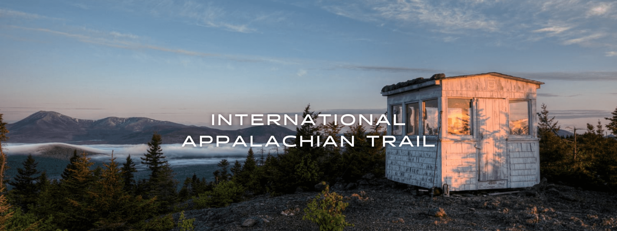
International Appalachian Trail
The IAT began in 1995 with the goal of creating a walking trail that followed the Appalachian Mountains from Mount Katahdin, Maine to Cap Gaspe, Quebec. Since then the IAT has grown to over 5000mi/8000km in length and include trails in 13 countries on 3 continents around the North Atlantic.
20% off for our Hiking Season Kick-off SALE! The Tahoe Rim Trail is now $11.99 and the Western Hiker Special is now $39.99.
30% off for our Small Business Saturday SALE! The Tahoe Rim Trail is now $9.99.
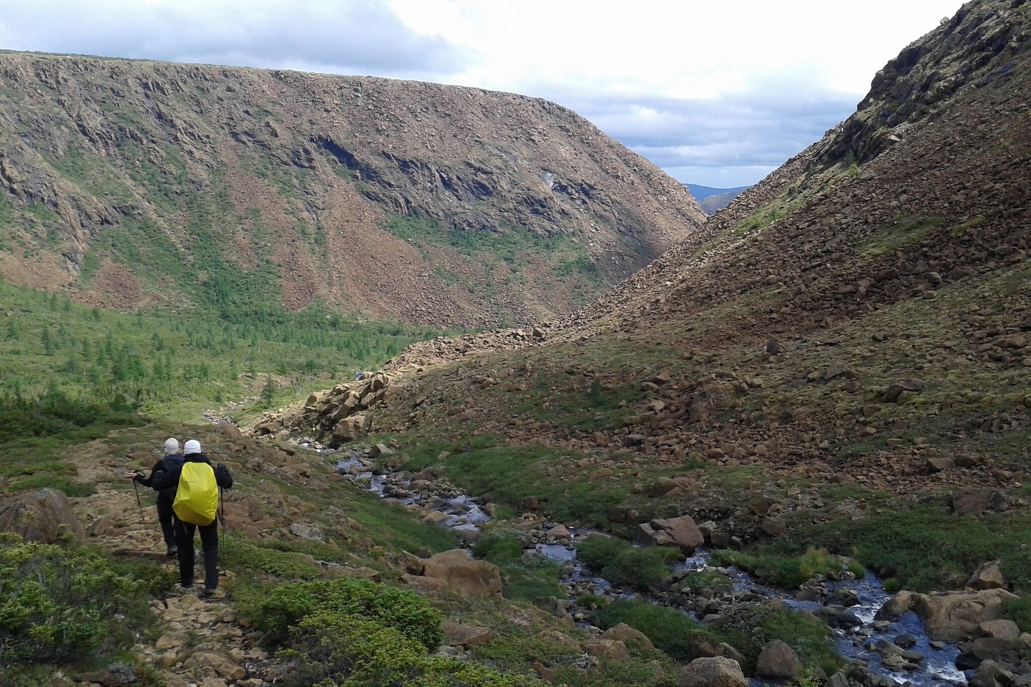
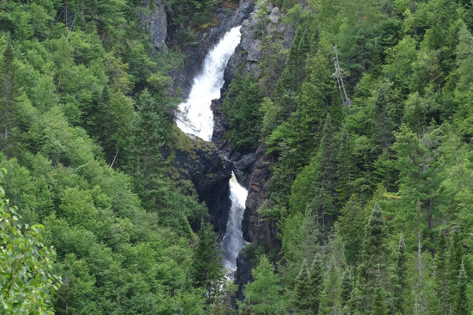
Photo courtesy of Bill Duffy
4.8 ★★★★★ | 17K+ Reviews
International Appalachian Trail
724 miles (1,165 km) • Maine, Canada
Official App of the International Appalachian Trail/Sentier International des Appalaches
Download our guide to access the International Appalachian Trail map, tracks, waypoints, and comments! The International Appalachian Trail (IAT) began in 1994 with the goal of creating a walking trail that followed the Appalachian Mountains from Mount Katahdin, Maine to Cap Gaspe, Quebec. Since then the IAT has grown to over 5000mi/8000km in length and include trails in 13 countries on three continents around the North Atlantic. Our IAT Guide includes the three original sections of the trail: Maine, New Brunswick and Quebec.
$19.99 FULL GUIDE
724 mi (1,165 km)
$19.99 full guide
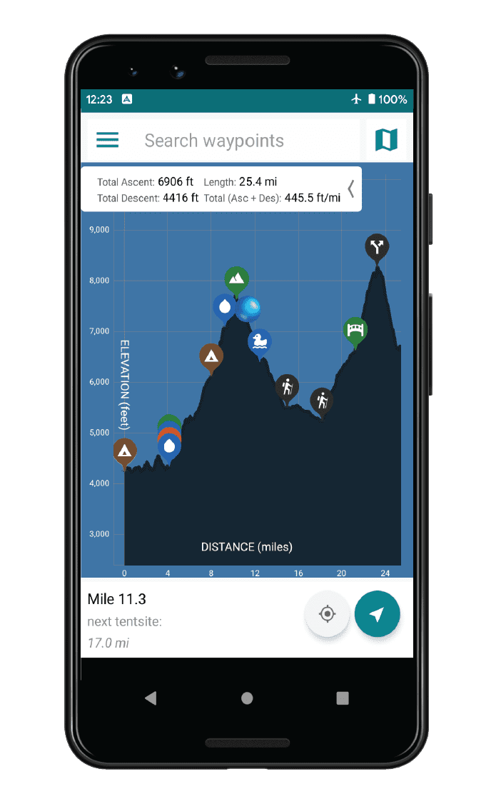
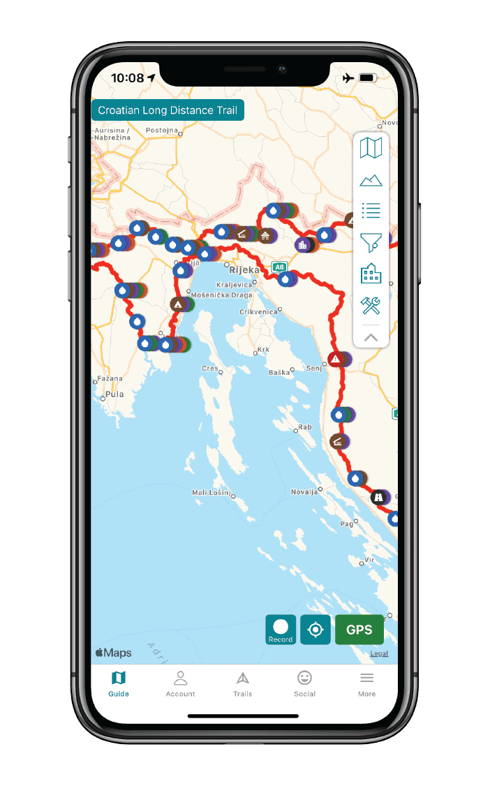
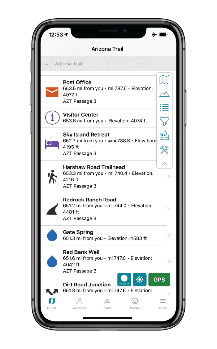


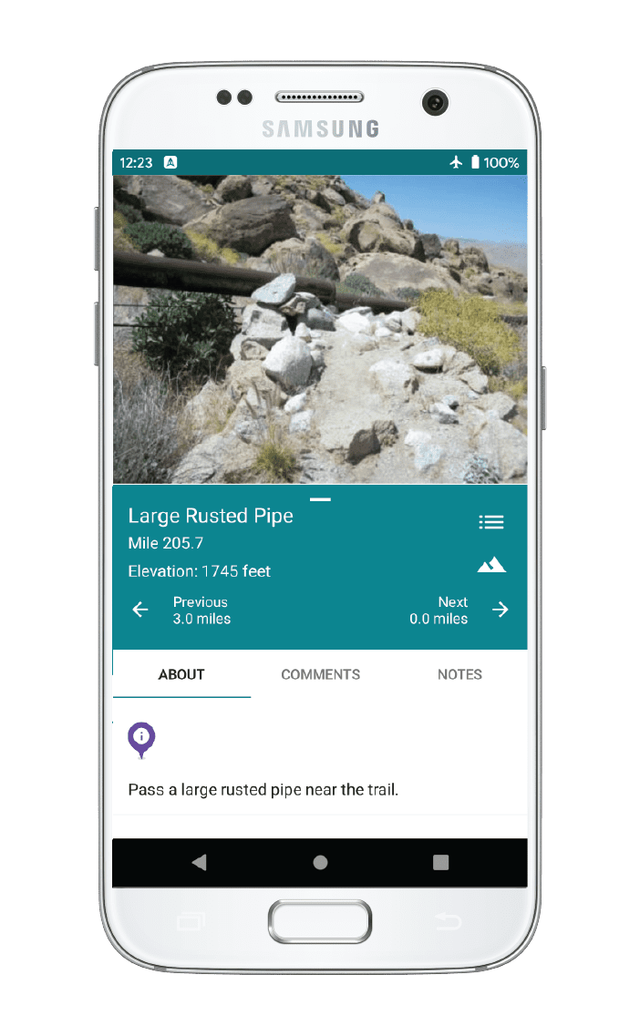
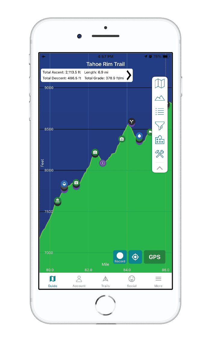
International Appalachian Trail Map


How can I get it?
The International Appalachian Trail map is available as an in-app purchase in our Guthook Guides app, a free download from the Apple App Store or the Google Play Store.
Our iOS and Android apps do differ slightly in their appearance. However, the majority of their features remain the same, and they access the same trail guide data.
This bundle includes the three original sections of the trail: Maine, New Brunswick and Quebec.
$19.99
The Maine section of the IAT/SIA is about 138mi/222km long and begins on the Katahdin Loop in the Katahdin Woods & Waters National Monument east of Baxter State Park. The trail generally follows the East Branch of the Penobscot River north through the Monument, before turning east towards Mount Chase and, eventually, Houlton. Just before Houlton, the trail turns north again and continues to and across Mars Hill Mountain in Aroostook County. It then follows the United States/Canadian international border northward to Fort Fairfield where it crosses into Perth-Andover, New Brunswick.
$6.99
The New Brunswick section of the IAT/SIA is about 185mi/298km long and begins at the United States/Canadian international border in Perth-Andover. The trail then accompanies the Tobique River through the village of Plaster Rock to Nictau. The trail then continues northeast to Mount Carleton Provincial Park before heading west to St. Quentin and Kedgewick. It then turns northeast again crossing the Upsalquitch River and then the mouth of the Restigouche River at Tide Head, NB. The trails turns west here, and crosses the Restigouche into Quebec at Flatlands, New Brunswick.
$6.99
The Québec section of the IAT/SIA is about 401mi/645km long and begins in Matapédia at the bridge crossing the Restigouche River and then runs northwest to Amqui, south of Lac Matapédia. Here, the trail heads northeast through the Reserve Faunique de Matane and then on to Mount Logan in the western portion of the Parc de la Gaspésie. The trail then turns eastward, continuing across Mont Albert and Mont Jacques Cartier and finally along the legendary cliffs of Cap Gaspé in Forillon National Park, where it ends at Shiphead.
$12.99

Cheers to giving back! Part of your purchase of the International Appalachian Trail goes to support the International Appalachian Trail/Sentier International des Appalaches Council’s work to preserve and maintain the trail. Learn about the IAT/SIA!
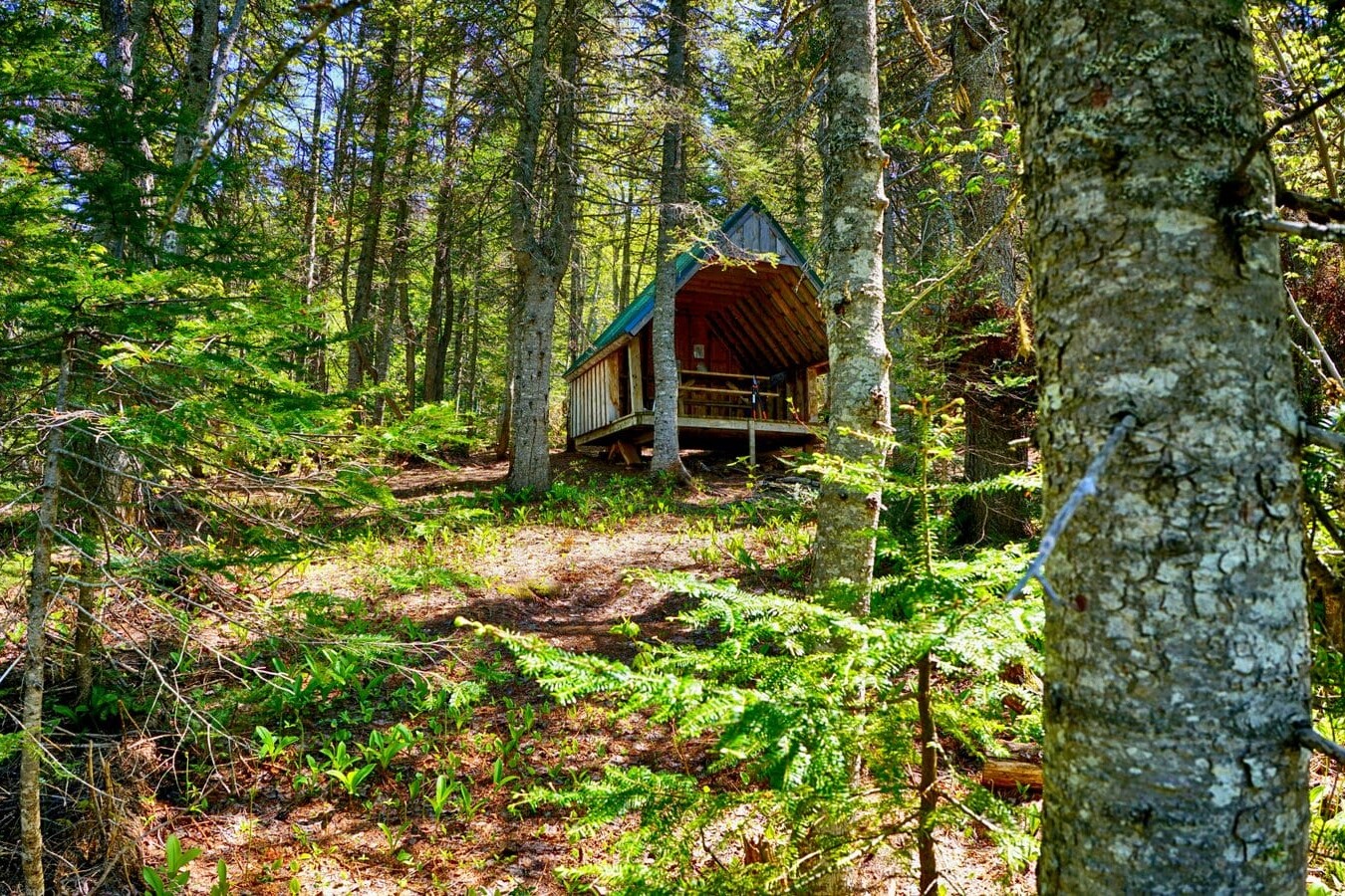
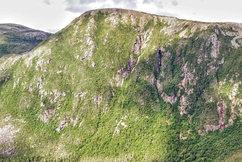
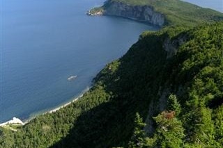
Photos of the International Appalachian Trail

About our partner
International Appalachian Trail/Sentier International des Appalaches Council
The Council of the International Appalachian Trail was launched in June 1994 when representatives from Maine, New Brunswick and Quebec gathered to begin the work of completing a footpath to connect the three highest points of land in each jurisdiction. Now, 22 chapters in 13 countries on 3 continents around the arc of the North Atlantic Ocean Basin continue the work. Chapters take on the responsibility of building and maintaining the footpath, which traces the ancient Appalachian/Caledonian mountain chain from North America to North Africa. The Council is an informal association whose members agree to a set of structures and responsibilities that includes establishment and maintenance of the footpath, the creation of maps, guides, and other promotional materials. Chapters are encouraged to develop their own means of public communication and education, and all contribute stories and other promotional material to the shared web portal.
Atlas Guides works with the IAT/SIA to create and maintain the International Appalachian Trail/Sentier International des Appalaches Council’s smartphone navigation app.
Hike more.
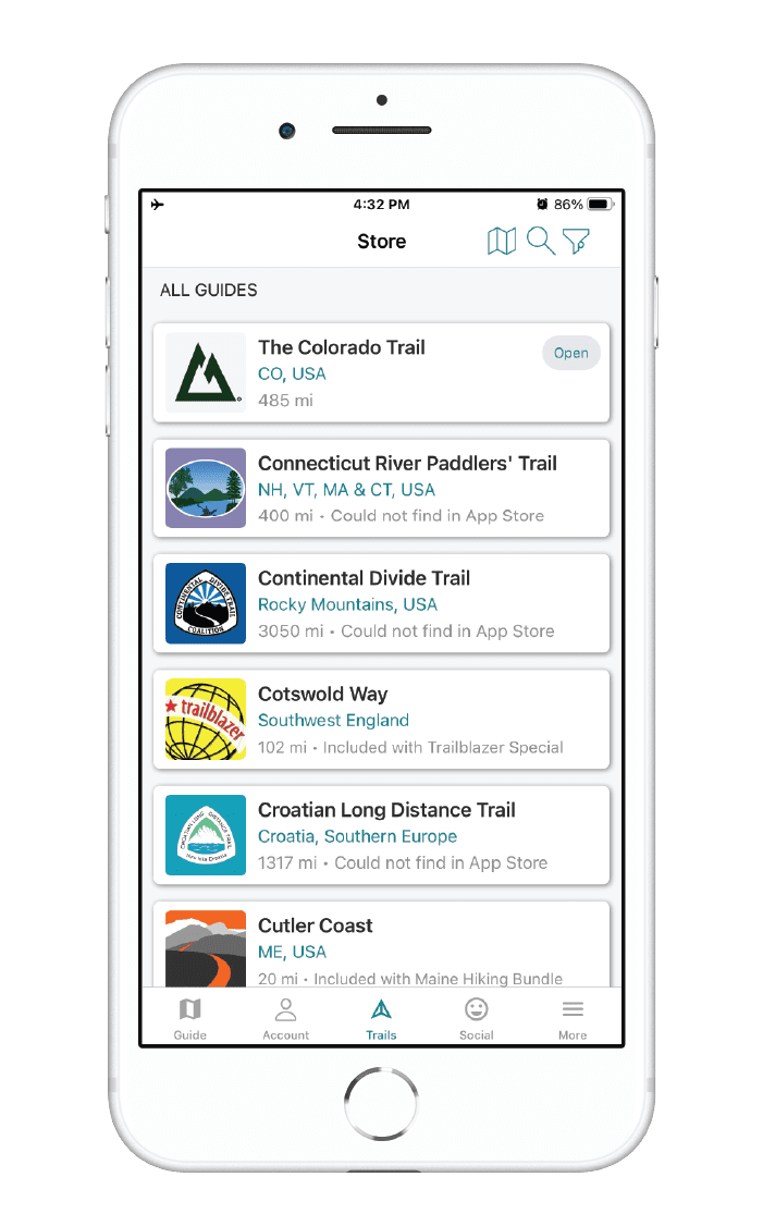
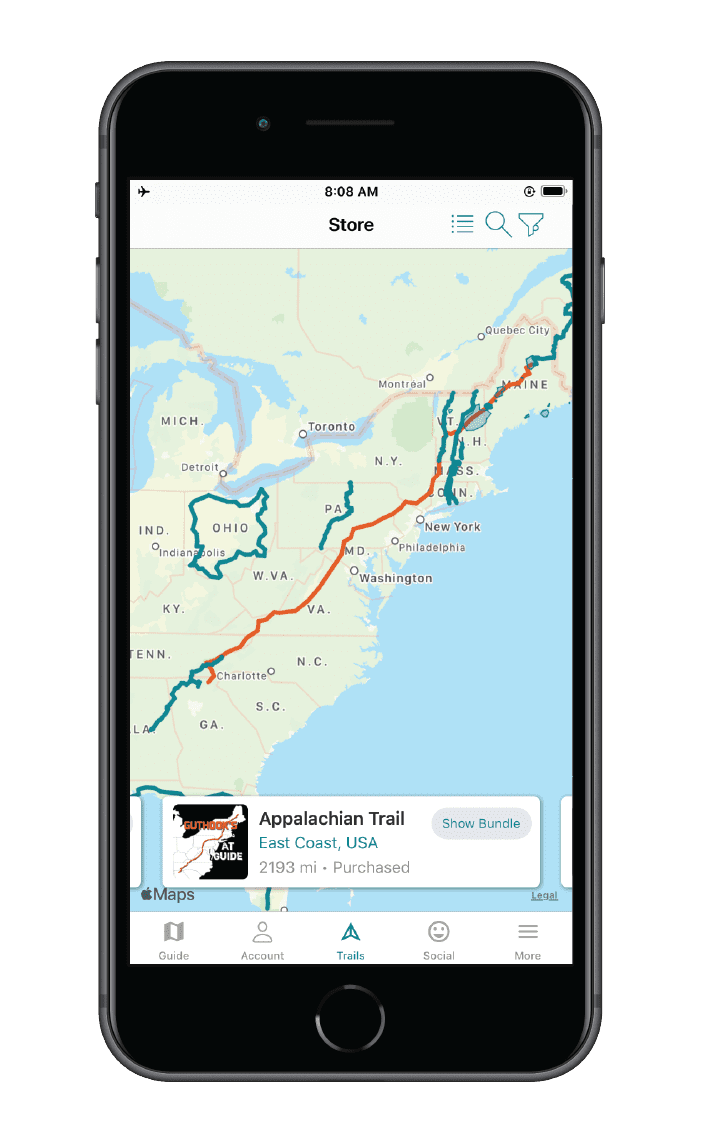
Check out some of the other trail guides we offer!
Great Divide Trail

Official app of Canada’s Great Divide Trail Association. The Great Divide Trail in Canada traverses the Continental Divide between Alberta and British Columbia as its unsigned route wanders the wilderness of the Canadian Rockies for more than 1100 km (680 mi). As one of the most challenging and breathtaking long-distance trails in the world, the Great Divide Trail offers a wilderness experience through some of the most spectacular landscapes on the planet. It is an unforgettable adventure for any thru-hiker, backpacker, or day-hiker to take on.
20% off for our Hiking Season Kick-off SALE! The Great Divide Trail is now $13.99.
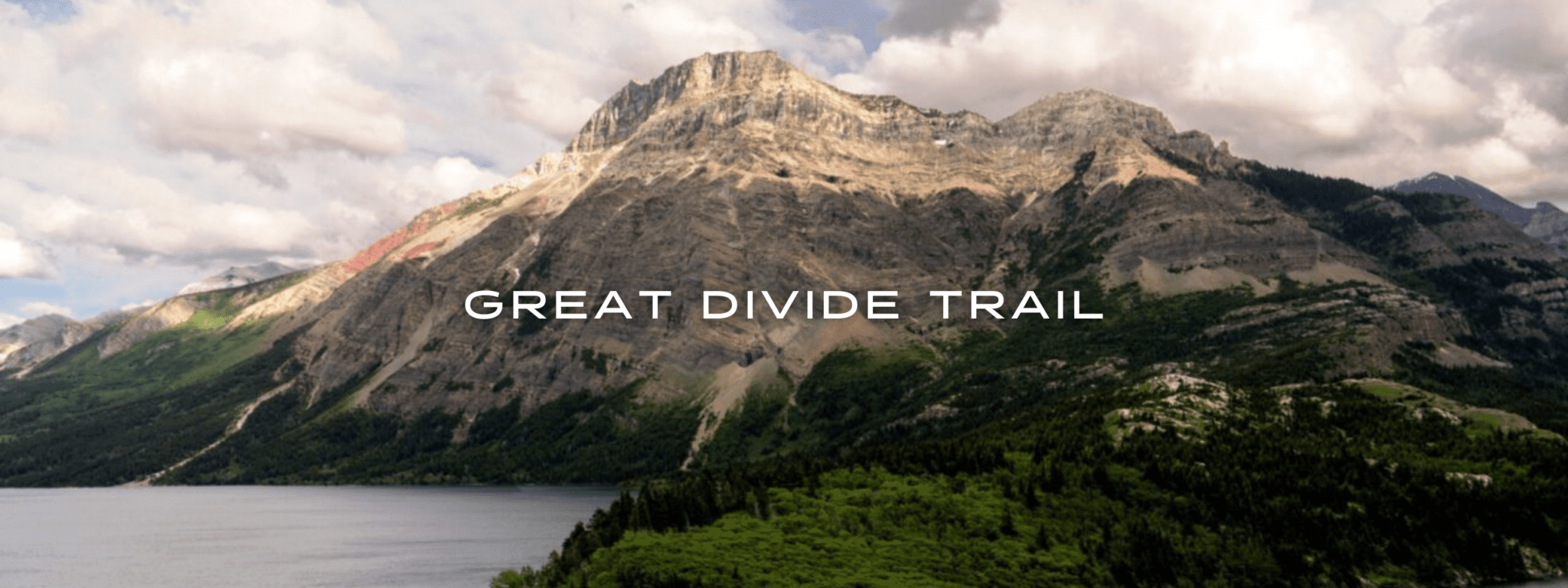
View of Vimy Peak, Upper Waterton Lake, Great Divide Trail
Photo by Jim Witkowski
4.8 ★★★★★ | 17K+ Reviews
Great Divide Trail
1100 km / 680 miles • Alberta & British Columbia
Official App of the Great Divide Trail Association
Download our guide to access the GDT map, tracks, waypoints, and comments! The Great Divide Trail traverses the Continental Divide between Alberta and British Columbia as its unsigned route wanders the wilderness of the Canadian Rockies for more than 1100 km (680 mi). As one of the most challenging and breathtaking long-distance trails in the world, the Great Divide Trail offers a wilderness experience through some of the most spectacular landscapes on the planet. It is an unforgettable adventure for any thru-hiker, backpacker, or day-hiker to take on.
CAD$24.99 full guide 7 sections (CAD$5.49 each)
CAD$24.99 full guide
7 sections (CAD$5.49 each)
Great Divide Trail Map


How can I get it?
The Great Divide Trail map is available as an in-app purchase in our Guthook Guides app, a free download from the Apple App Store or the Google Play Store.
Our iOS and Android apps do differ slightly in their appearance. However, the majority of their features remain the same, and they access the same trail guide data.
This full-featured demo of the Great Divide Trail app includes the first 54 km of the trail, from the Canada-U.S. border in Waterton Park to Sage Pass.
The Great Divide Trail Thru-Hiker Special includes all seven sections of the Great Divide Trail with the entire trail also available in a single section: a 35% savings over buying each Section separately. Includes the 1120-km Great Divide Trail and more than 80 side trails, exit trails, and alternate routes along the GDT.
CAD$24.99 / US$17.99
Section A of the Great Divide Trail is the southern-most 147 km of the trail, from the international border in Waterton Lakes National Park to the town of Coleman. Includes 16 side trails and alternate routes: the Barnaby Ridge Alternate, Goat Haunt Alternate, Lynx Creek Road Alternate, Mt. Rowe – Sage Pass Alternate, South Kootenay Pass Alternate, York Creek Alternate, and 10 exit and side trails.
CAD$5.49 / US$3.99
Section B of the Great Divide Trail includes Km 147 to Km 344 from the town of Coleman to Kananaskis Lake in Peter Lougheed Provincial Park. Includes 15 side trails and alternate routes: the Allison Creek Alternate, Coral Pass Alternate, Elk River Alternate, Elkan Creek Alternate, Mount Etherington Alternate, and Mount Gass Alternate, and 9 exit and side trails.
CAD$5.49 / US$3.99
Section C of the Great Divide Trail includes Km 344 to Km 551 from Kananaskis Lake in Peter Lougheed Provincial Park, through Banff National Park, to the Natural Bridge in Yoho National Park. Includes 15 side trails and alternate routes: the Assiniboine Pass Alternate, Assiniboine Pass North Alternate, McArthur Pass Lake Louise Alternate, Sunshine Lodge (Trappers) Alternate, White Man Creek Alternate, and 10 exit and side trails.
CAD$5.49 / US$3.99
Section D of the Great Divide Trail includes Km 551 to Km 652 from the Natural Bridge in Yoho National Park, back into Banff National Park and to the North Saskatchewan River. Includes 7 side trails and alternate routes: the Blaeberry High Road Alternate, Howse River Flood Plain Alternate, Mistaya River Ford Alternate South, Howse River Flood Plain Alternate North, and 3 exit and side trails.
CAD$5.49 / US$3.99
Section E of the Great Divide Trail includes Km 652 to Km 844 from the North Saskatchewan River in Banff National Park to the town of Jasper in the heart of Jasper National Park. Includes 11 side trails and alternate routes: the Bald Hills Alternate, Curator Mountain Alternate, Moose Lake Alternate, and 8 exit and side trails.
CAD$5.49 / US$3.99
Section F of the Great Divide Trail includes Km 844 to Km 945 from the town of Jasper in the heart of Jasper National Park, through Mt Robson Provincial Park to the North Boundary Trail junction. Includes the Marjorie Lake Alternate, the exit trail to the Robson Visitor Center, and 3 other side trails.
CAD$5.49 / US$3.99
Section G of the Great Divide Trail includes the northern-most 178 km of the trail from the North Boundary Trail junction, through Willmore Wilderness Park, and into British Columbia’s Kakwa Provincial Park and Protected Area. Includes 12 side trails and alternate routes: Walker Creek Road exit, the High Jackpine Alternate, Loren Lake High Route, Mount Ruth Alternate, Perseverance High Route, Talbot Alternate, Wallbridge Glaciers Alternate, and 5 other side and exit trails.
CAD$5.49 / US$3.99
Cheers to giving back! Part of your purchase of the Great Divide Trail goes to support the Great Divide Trail Association’s work to preserve and maintain the trail. Learn about the Great Divide Trail Association.
Hike more.
Check out some of the other trail guides we offer!
About our partner
Great Divide Trail Association
The Great Divide Trail Association is a Canadian nonprofit that is responsible for maintaining, promoting, and protecting the Great Divide Trail. The Great Divide Trail Association works with regional partners to coordinate trail improvements, maintenance and protection. The Great Divide Trail Association is dedicated to planning, designing, surveying, constructing and maintaining the Great Divide Trail in the Rocky Mountains of Canada, and their goal is to obtain formal recognition and protection of the Great Divide Trail Corridor. They promote and encourage the use of the Great Divide Trail in a manner consistent with the conservation and preservation of the scenic and wilderness value of the Rocky Mountains of Canada.
The official Great Divide Trail app was created as the result of an ongoing partnership between Atlas Guides and the Great Divide Trail Association.