
Arizona Trail

Official app of the Arizona Trail Association. The Arizona National Scenic Trail stretches 800 scenic miles (1280 km) across the state of Arizona from Mexico to Utah. It passes through some of the most diverse and beautiful landscapes in the state, including multiple National Forests, Saguaro National Park, and Grand Canyon National Park. Our hiking guide is the official app of the Arizona Trail Association, stewards of the Arizona Trail. The guide includes the hiking route and the mountain biking route which are perfect for a day-hike, thru-hike, or a mountain biking trip. Southwest.
20% off for our Hiking Season Kick-off SALE! The Arizona Trail is now $7.99.
30% off for our Small Business Saturday SALE! The Arizona Trail is now $6.99.
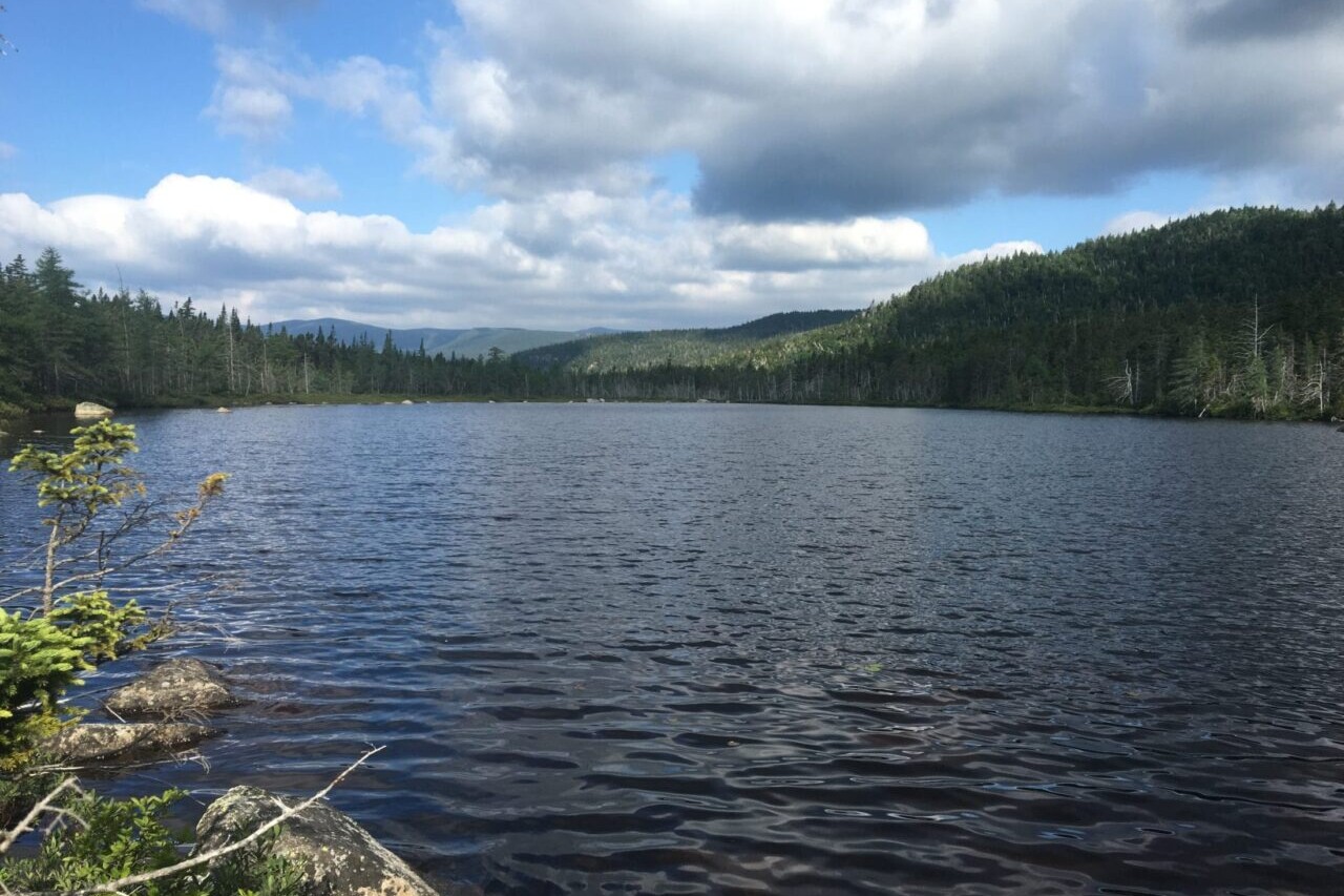
Grand Canyon, Arizona Trail
Photo courtesy of the Arizona Trail Association
4.8 ★★★★★ | 17K+ Reviews
Grand Canyon, Arizona Trail
Photo courtesy of the Arizona Trail Association
4.8 ★★★★★ | 17K+ Reviews
4.8 ★★★★★ | 17K+ Reviews
Arizona Trail
800 miles • Arizona
Official App of the Arizona Trail Association
Download our guide to access the AZT map, tracks, waypoints, and comments! The Arizona National Scenic Trail stretches 800 scenic miles (1280 km) across the state of Arizona from Mexico to Utah. It passes through some of the most diverse and beautiful landscapes in the state, including multiple National Forests, Saguaro National Park, and Grand Canyon National Park. Our hiking guide is the official app of the Arizona Trail Association, stewards of the Arizona Trail. The guide includes the hiking route and the mountain biking route which are perfect for a day-hike, thru-hike, or a mountain biking trip.
800 miles (1287 km) $9.99 full guide or TRY OUR FREE DEMO
800 miles (1287 km) | $9.99 full guide | FREE DEMO
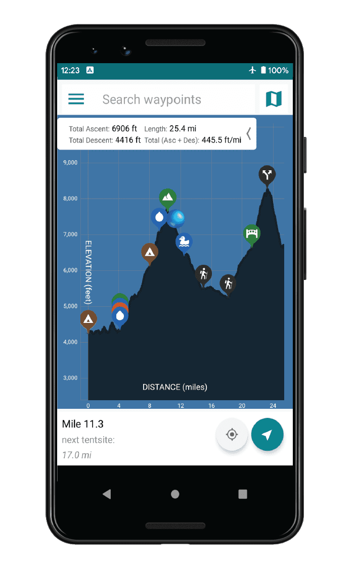

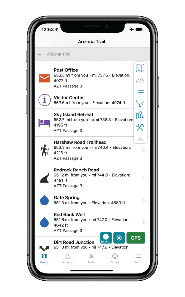


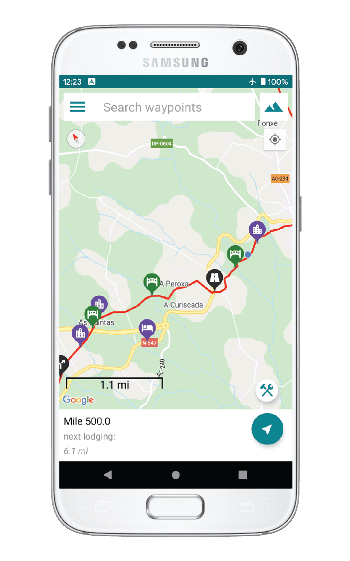
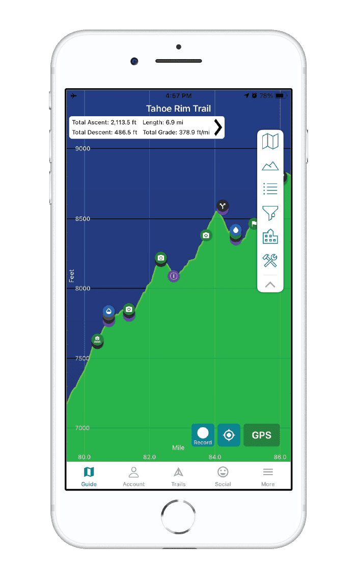
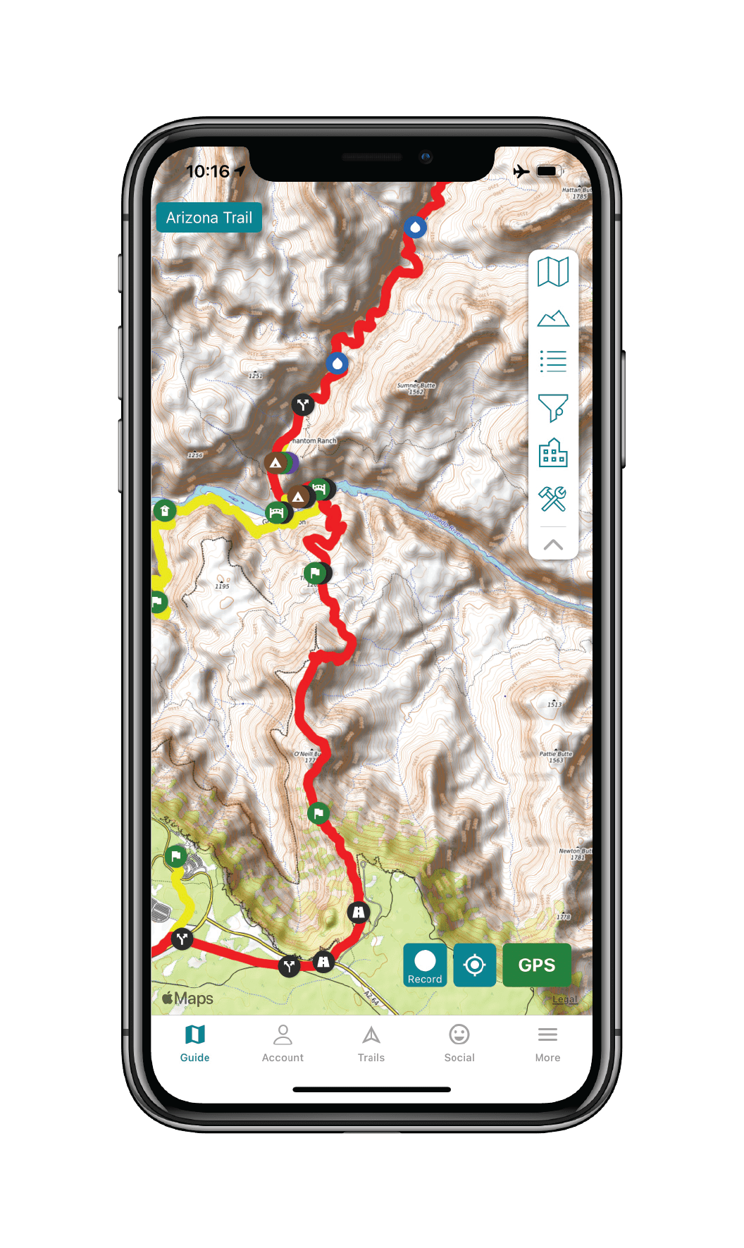
Arizona Trail Map


How can I get it?
The Arizona Trail map is available as an in-app purchase in our Guthook Guides app, a free download from the Apple App Store or the Google Play Store.
Our iOS and Android apps do differ slightly in their appearance. However, the majority of their features remain the same, and they access the same trail guide data.
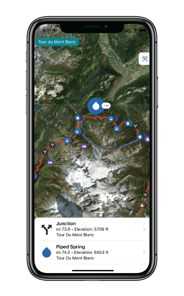
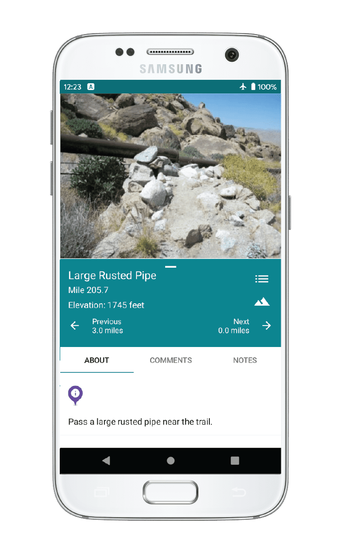
Official Arizona Trail Association track and waypoints for the 36.2-mile San Francisco Peaks Passage (Passage 34) of the Arizona Trail near Flagstaff and Snowbowl.
The Arizona Trail stretches 800 scenic miles across the state of Arizona from Mexico to Utah. It passes through some of the most diverse and beautiful landscapes in the state, including multiple National Forests, Saguaro National Park, and Grand Canyon National Park.
$9.99
Official bike route of the Arizona Trail Association with waypoints for the Arizona Trail and Flagstaff Urban Trail alternate.
INCLUDED WITH PURCHASE OF THE ARIZONA TRAIL.
Cheers to giving back! Part of your purchase of the Arizona Trail goes to support the Arizona Trail Association’s work to preserve and maintain the hiking trail and bike route. Learn about the Arizona Trail Association.
Stories from the Arizona Trail!
Check out our most recent blog posts about the Arizona Trail.
Nothing found.
Nothing found.
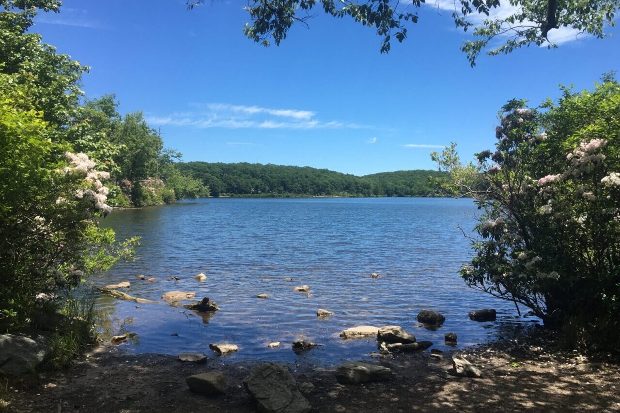
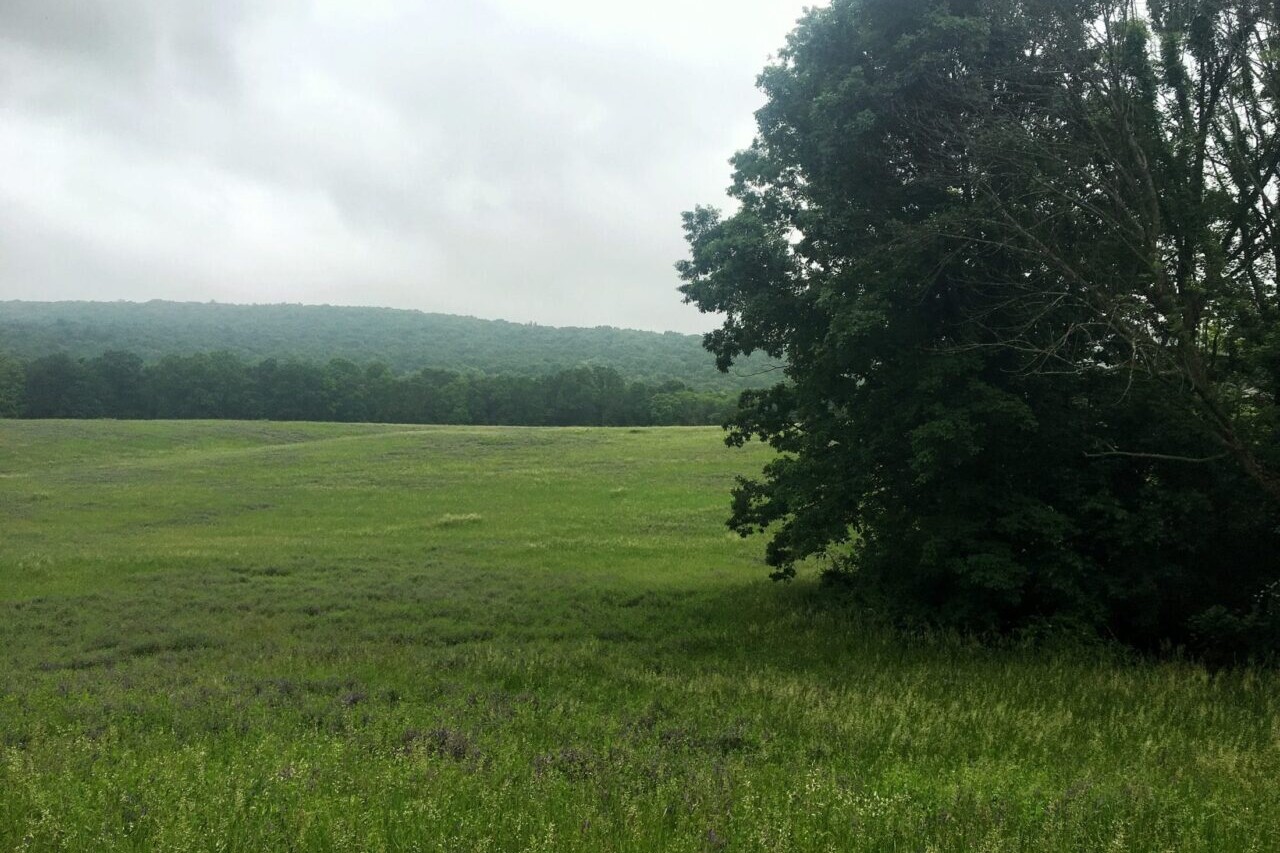
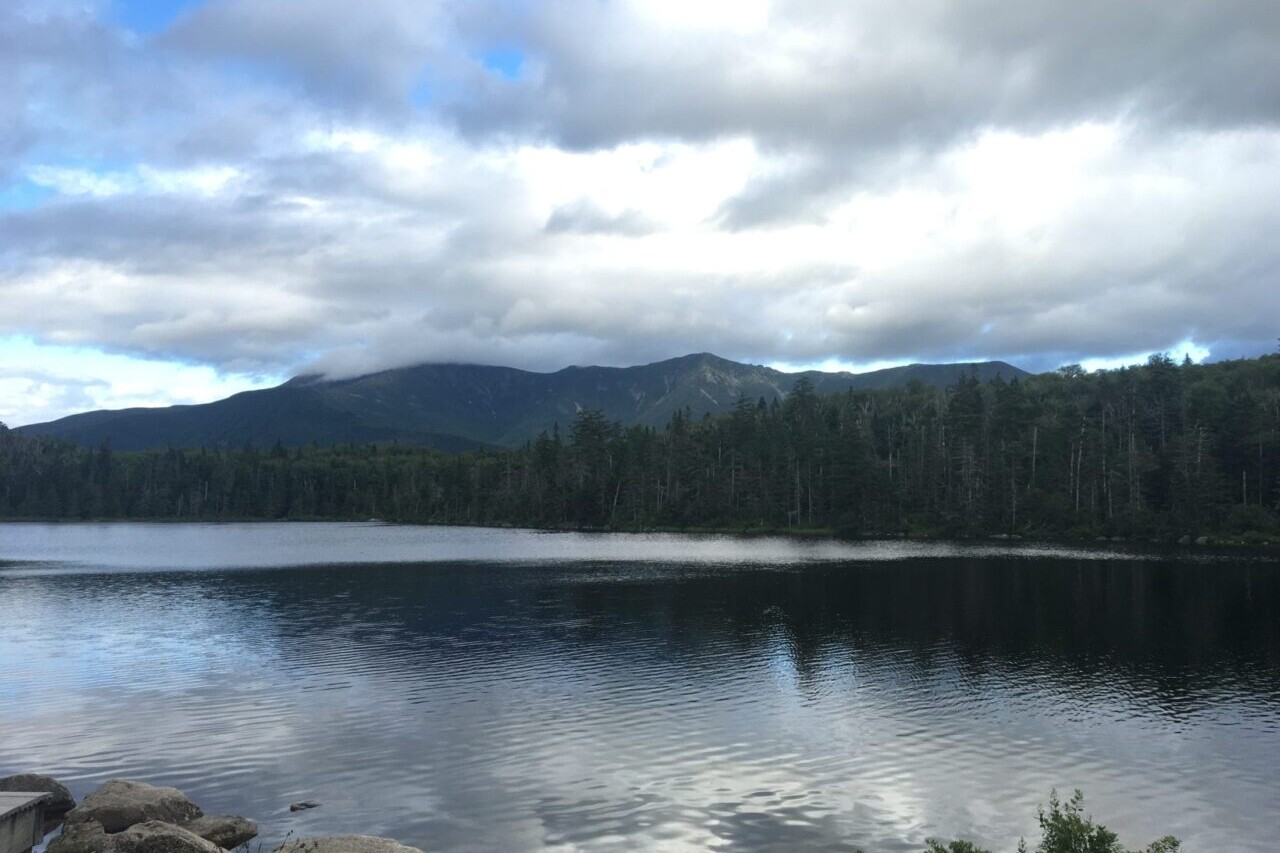
Photos of the Arizona Trail


Hike more.
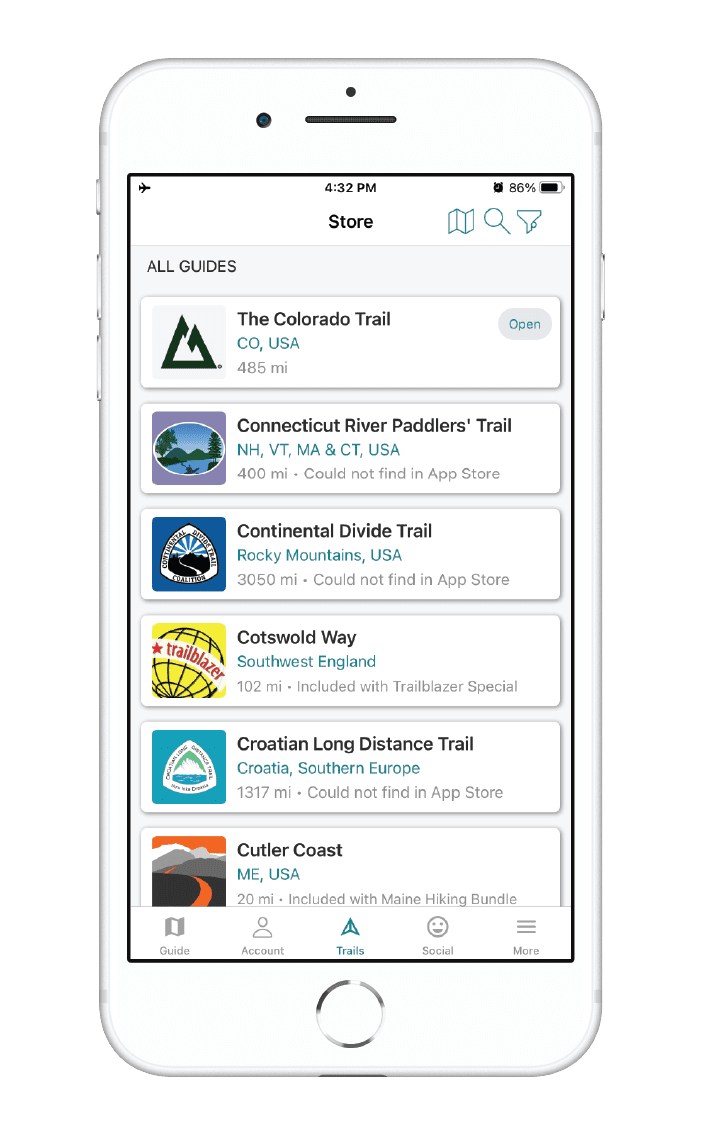
Check out some of the other trail guides we offer!
About our partner
Arizona Trail Association
The mission of the Arizona Trail Association is to protect, maintain, enhance, promote and sustain the Arizona Trail as a unique encounter with the land. A nonprofit organization, the ATA has trained and coordinated tens of thousands of volunteers to help build and maintain the Arizona Trail since 1994. Their primary focus is on protecting and maintaining the trail, though they also have a number of outreach programs to engage community members in the Arizona Trail experience.
In partnership with the Arizona Trail Association, Atlas Guides has created the official Arizona Trail app, which offers the most relevant information on the Arizona Trail. Together with the ATA, we work to provide frequent updates to the app.

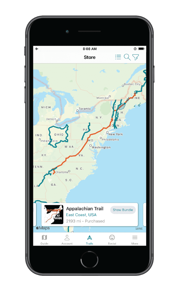
Appalachian Trail
Download our guide to access the AT map, tracks, waypoints, and comments! The Appalachian National Scenic Trail is one of the oldest National Scenic Trails in the United States and attracts thousands of thru-hikers every year. Its narrow corridor stretches from Springer Mountain in Georgia to Mt. Katahdin in Maine, traversing 14 states and nearly 2190 miles (3524 km) on its way. As one of the most popular thru-hikes in the US, the Appalachian Trail is the longest hiking-only footpath in the world and is one of the Triple Crown trails. The AT is an amazing hiking adventure for long-distance hikers and thru-hikers, yet it is also perfect for day-hikers and section-hikers looking to enjoy the beautiful views. Georgia, North Carolina, Tennessee, Virginia, West Virginia, Maryland, Pennsylvania, New Jersey, New York, Connecticut, Massachusetts, Vermont, New Hampshire, and Maine.
20% off for our Hiking Season Kick-off SALE! The Appalachian Trail is now $47.99.
30% off for our Small Business Saturday SALE! The Appalachian Trail is now $39.99.
4.8 ★★★★★ | 17K+ Reviews
4.8 ★★★★★ | 17K+ Reviews
4.8 ★★★★★ | 17K+ Reviews
Appalachian Trail
2190 miles • Georgia to Maine via 14 states
Download our guide to access the AT map, tracks, waypoints, and comments! The Appalachian National Scenic Trail is one of the oldest National Scenic Trails in the United States and attracts thousands of thru-hikers every year. Its narrow corridor stretches from Springer Mountain in Georgia to Mt. Katahdin in Maine, traversing 14 states and nearly 2190 miles (3524 km) on its way. As one of the most popular thru-hikes in the US, the Appalachian Trail is the longest hiking-only footpath in the world and is one of the Triple Crown trails. The AT is an amazing hiking adventure for long-distance hikers and thru-hikers, yet it is also perfect for day-hikers and section-hikers looking to enjoy the beautiful views.
2190 mi (3524 km) $59.99 full guide 9 sections ($8.99 each)
2190 mi (3524 km)
$59.99 full guide
9 sections ($8.99 each)
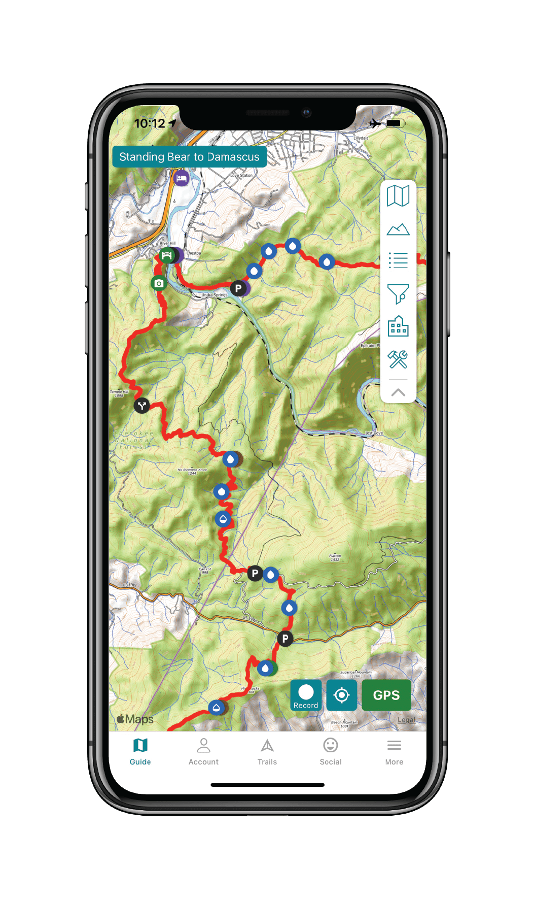
Appalachian Trail Map


How can I get it?
The Appalachian Trail Map is available as an in-app purchase in our Guthook Guides app, a free download from the Apple App Store or the Google Play Store.
Our iOS and Android apps do differ slightly in their appearance. However, the majority of their features remain the same, and they access the same trail guide data.
The Approach Trail to Springer Mountain, about 8.8 miles from Amicalola Falls State Park.
One-time purchase of the entire Appalachian Trail from Georgia to Maine: a 26% savings over buying the 9 sections separately.
$59.99
The southernmost section of the Appalachian Trail, about 240 miles from Springer Mountain to the northern end of the Great Smoky Mountains National Park. This includes all of the Georgia section, and the southern section of North Carolina. The highest point on the AT, Clingman’s Dome, is located in the Smoky Mountains in this section.
$8.99
The North Carolina & Tennessee section of the Appalachian Trail, including Roan Highlands. This section is about 225 miles long, and ends just into the state of Virginia at the town of Damascus.
$8.99
The southern half of the Virginia section of the Appalachian Trail, from the town of Damascus to the town of Daleville, just outside of Roanoke. This section includes McAfee Knob, Tinker Cliffs, the Dragon’s Tooth, and Peter’s Mountain. About 250 miles.
$8.99
The northern half of the Virginia section of the Appalachian Trail from the town of Daleville to the town of Harper’s Ferry, WV. Includes Shenandoah National Park and the area near the Blue Ridge Parkway. Approximately 300 miles.
$8.99
This section includes a small piece of West Virginia, plus all of the Appalachian Trail in Maryland and Pennsylvania, going from the town of Harper’s Ferry, WV, to the town of Delaware Water Gap, PA. The section is about 270 miles long.
$8.99
This section of the Appalachian Trail starts at the border of Pennsylvania and New Jersey at Delaware Water Gap, and covers the entire AT through New Jersey, New York, and Connecticut, ending outside of the town of Great Barrington, MA, about 15 miles into Massachusetts. The section is about 240 miles long, and includes highlights like the Berkshires, Delaware Water Gap National Recreation Area, and Harriman State Park.
$8.99
This section covers the Appalachian Trail through most of Massachusetts (starting about 15 miles north of the Connecticut border at Great Barrington) and through all of Vermont, ending in the town of Hanover, NH. About 230 miles in total, with highlights like Mount Greylock, Stratton Mountain, and Killington.
$8.99
This section covers the Appalachian Trail through New Hampshire, plus about 14 miles of Maine, from the town of Hanover, NH, to Grafton Notch in Maine. A total of about 160 miles. Highlights include all of the White Mountains National Forest, Mahoosuc Notch, and Smarts Mountain.
$8.99
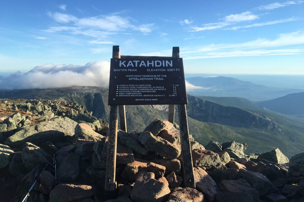
This section covers the Appalachian Trail from Grafton Notch to Katahdin, the northernmost section of the AT, and about 260 miles long. Highlights include Saddleback Mountain, the Bigelow Range, the 100 Mile Wilderness, and Katahdin.
$8.99
Stories from the Appalachian Trail!
Check out our most recent blog posts about the Appalachian Trail.
Nothing found.


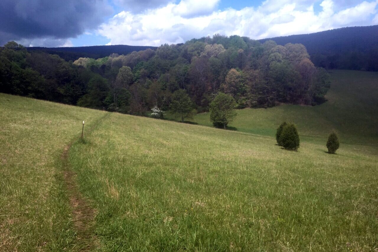
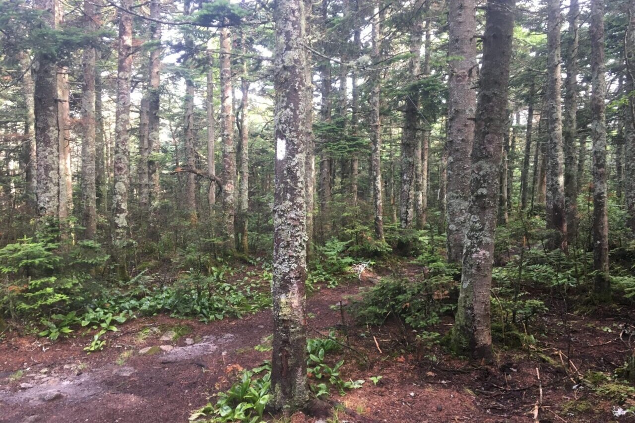
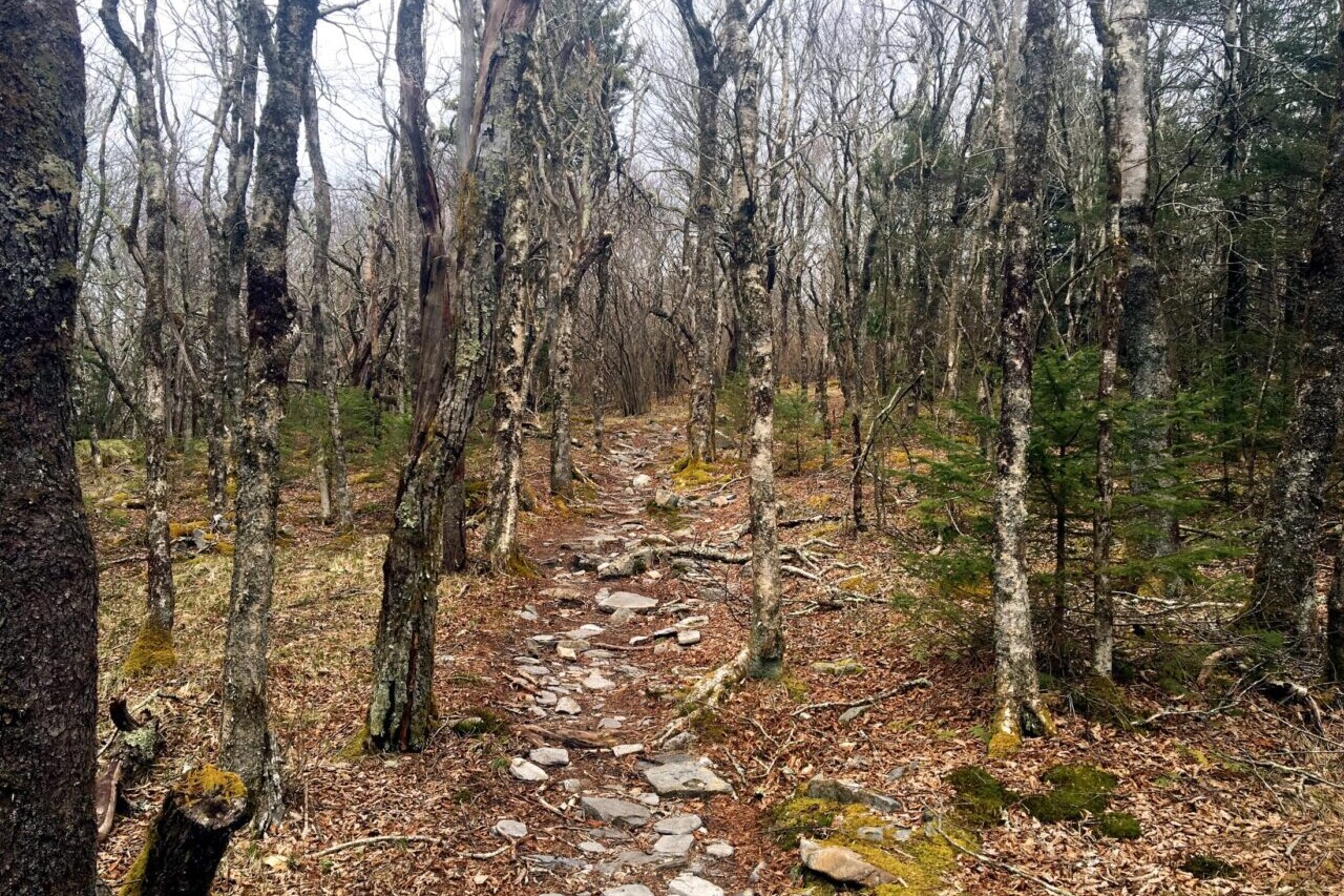
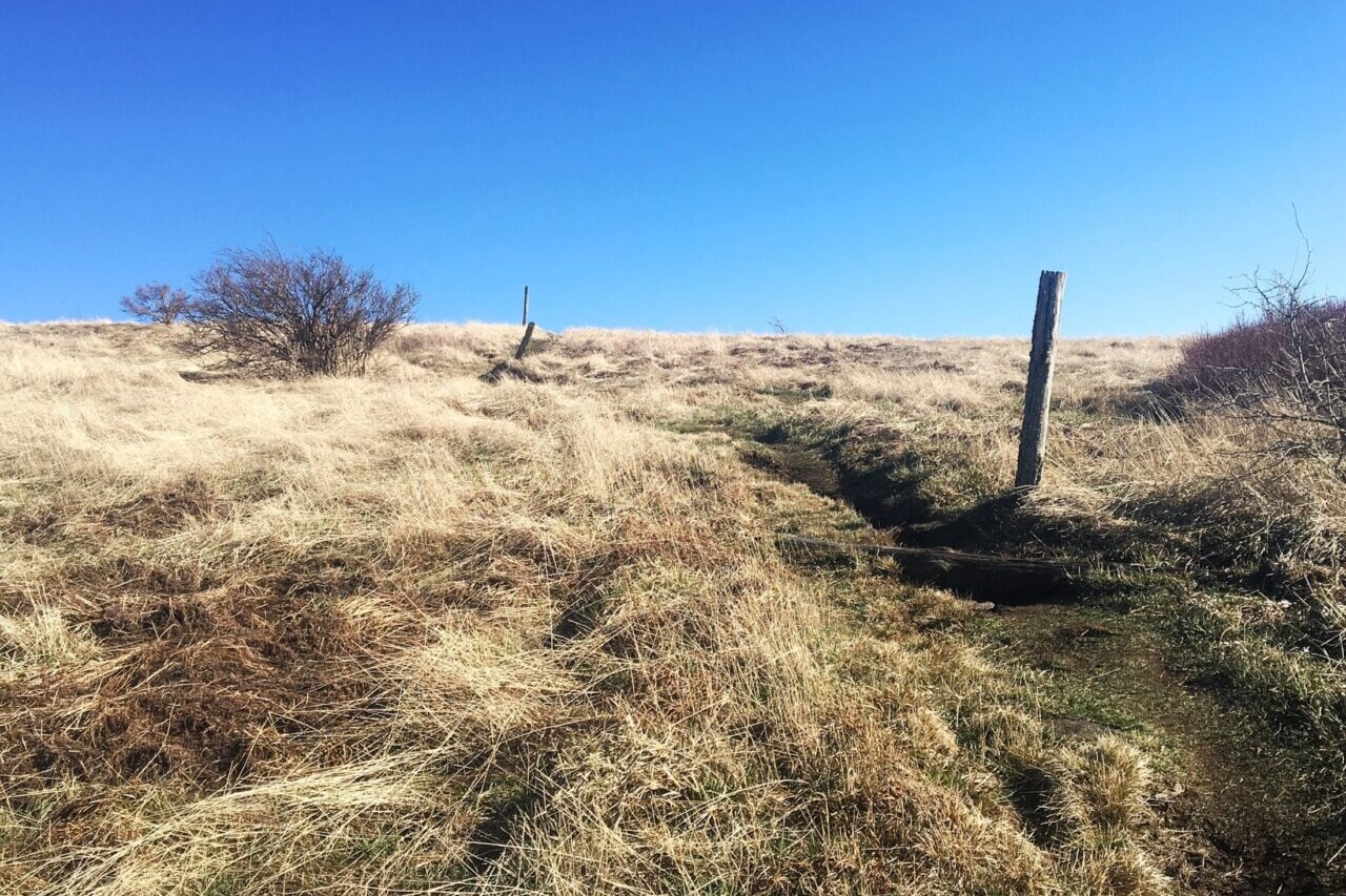
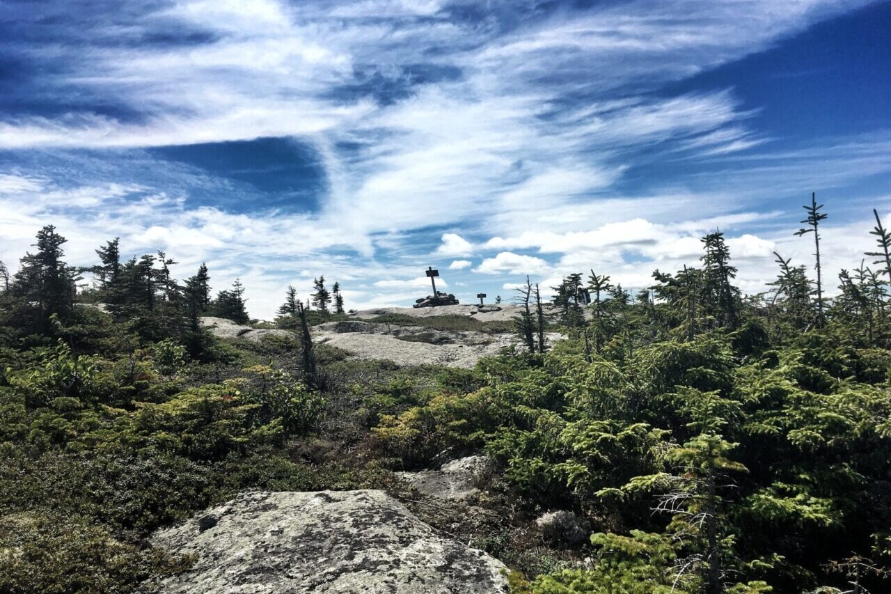
Photos of the Appalachian Trail


Hike more.
Check out some of the other trail guides we offer!