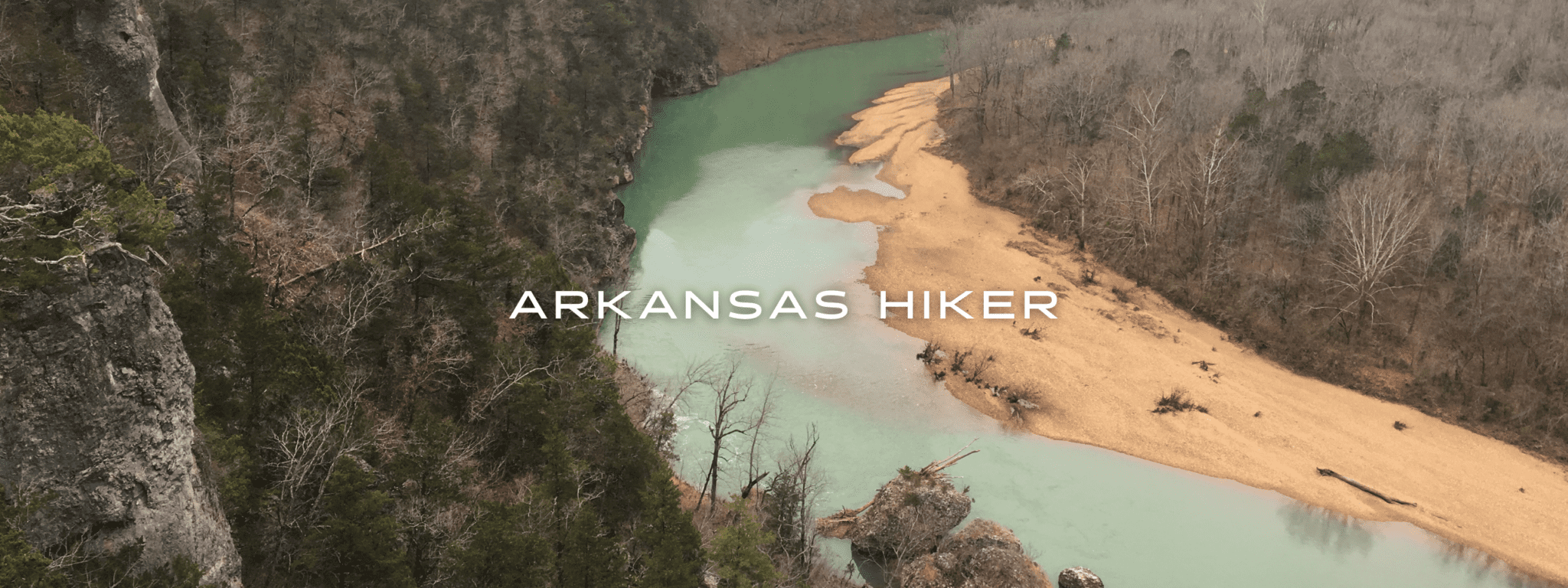
Arkansas Hiker

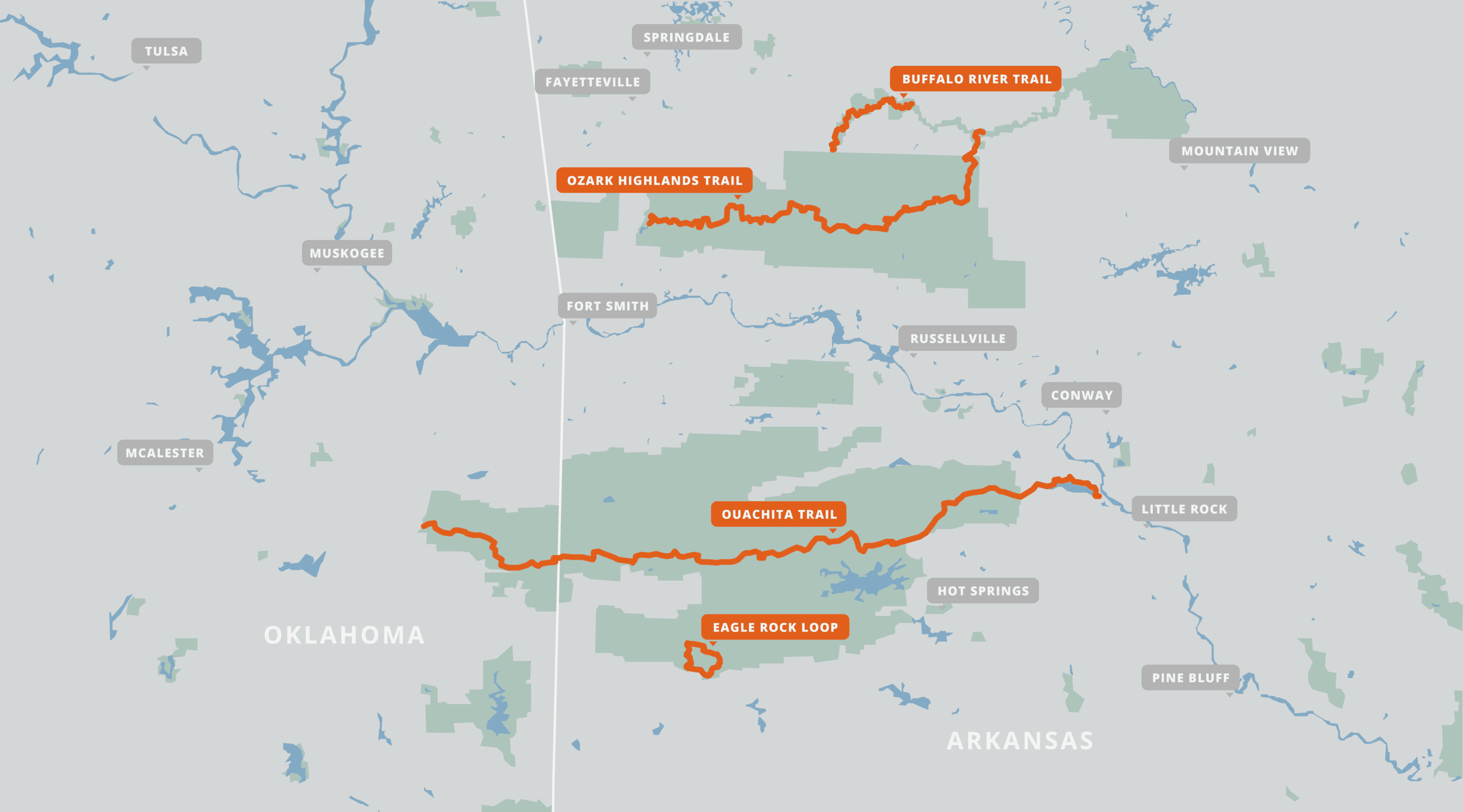
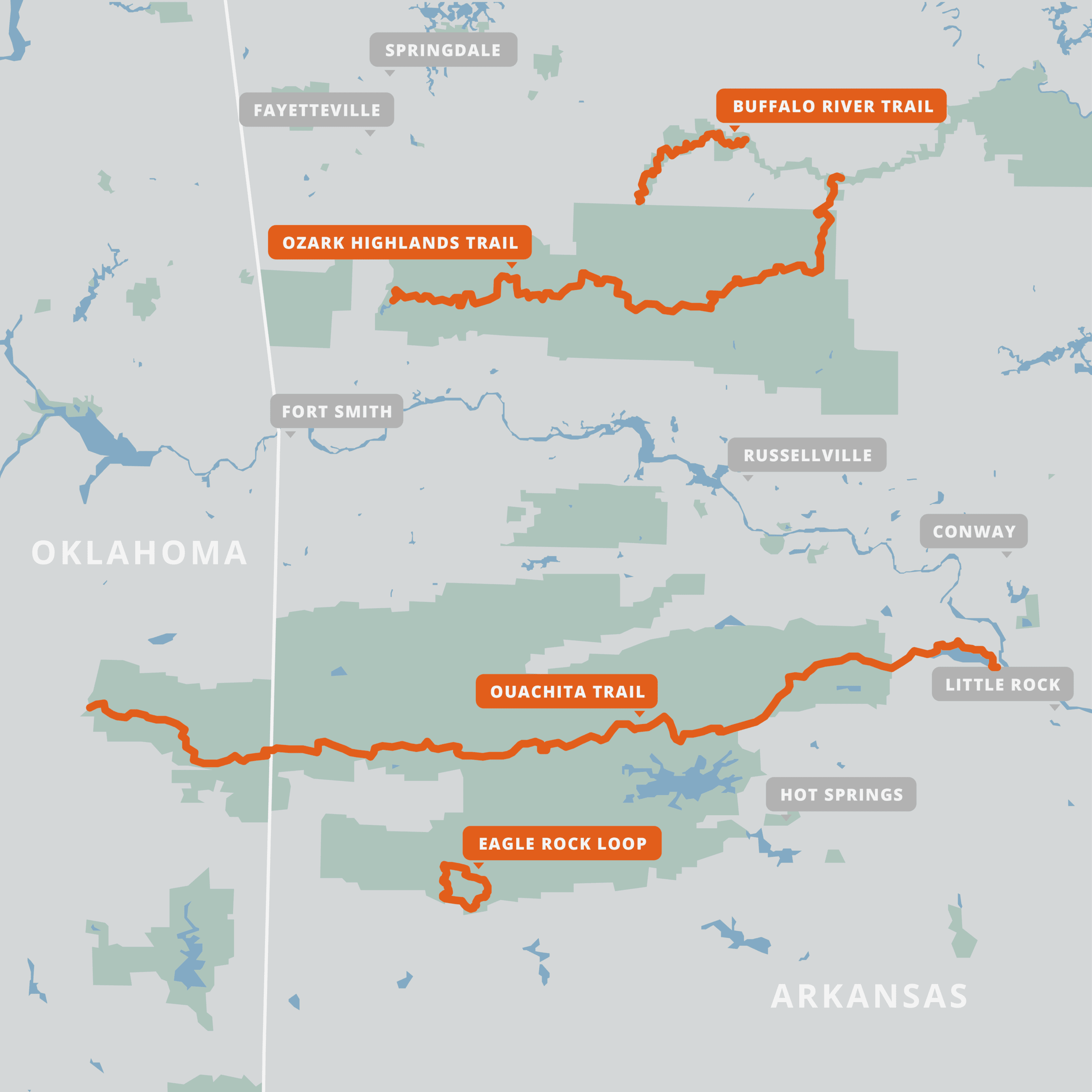
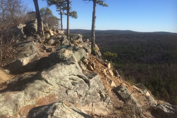
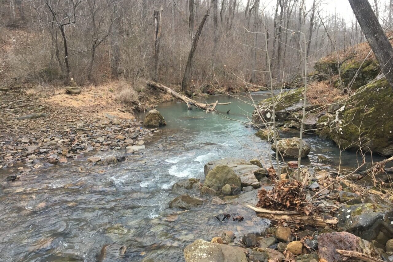
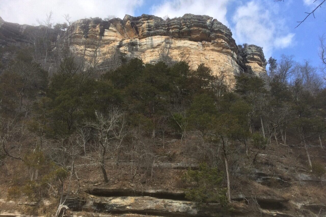
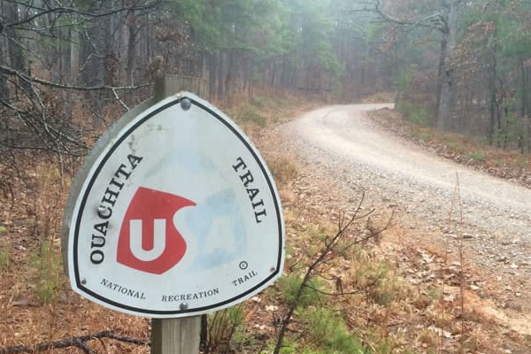
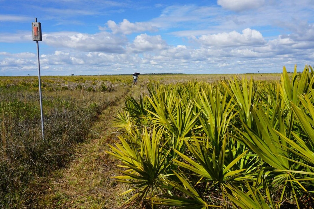
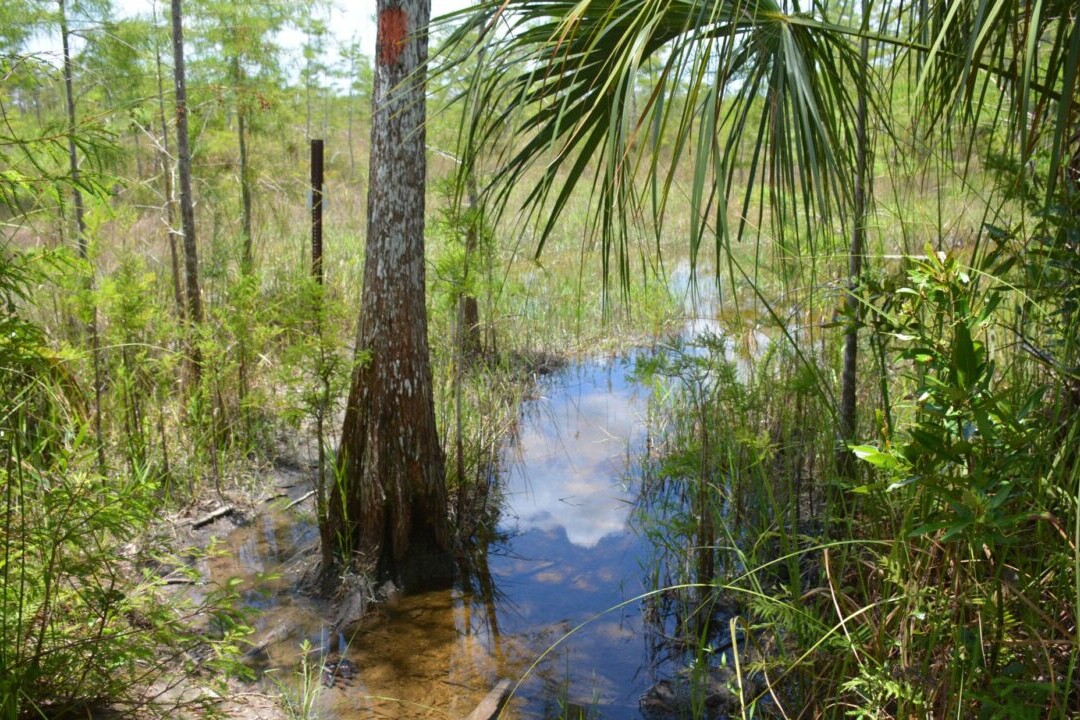
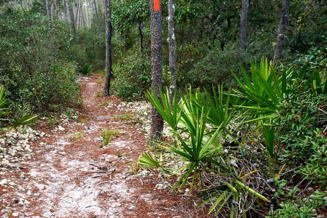
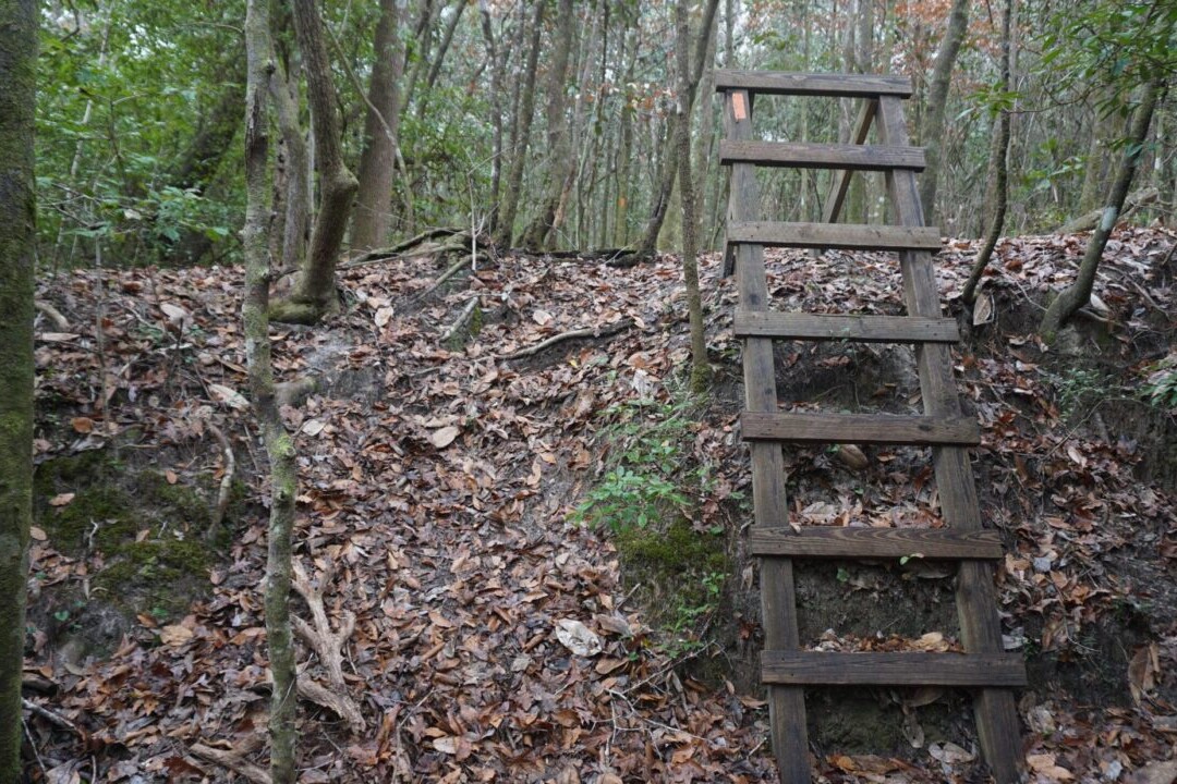
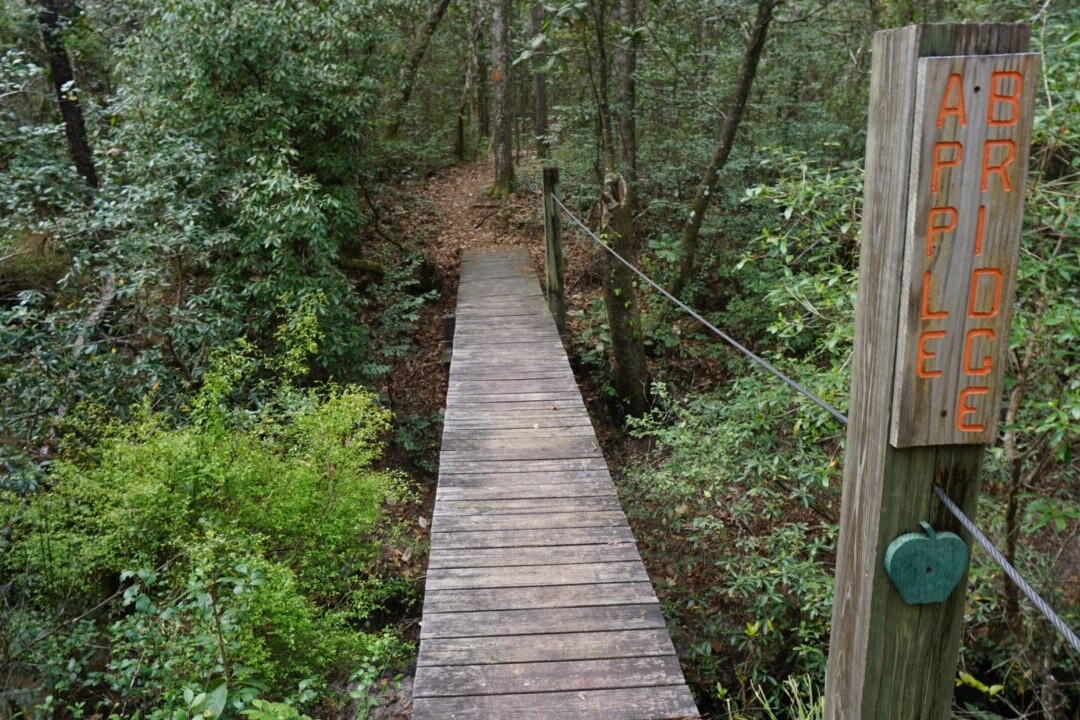
The state of Arkansas has a variety of amazing hiking trails. The trails included in our hiker bundle include the Ouachita Trail, Ozark Highlands Trail, Eagle Rock Loop, and the Buffalo River Trail. The Ouachita National Recreation Trail is a 223 mile (350 km) path through the Ouachita Mountains that boasts beautiful forests and stunning wildflowers. The trail stretches from Talimena State Park in Oklahoma to Pinnacle Mountain State Park in Arkansas. The Ozark Highlands Trail is a 164 mile (260 km) journey from Lake Fort Smith to the Buffalo River at Woolum. It passes through some of the most beautiful and remote parts of the Ozark National Forest. Our hiking guides are perfect for a day-hike, section-hike, or thru-hike. Arkansas!
20% off for our Hiking Season Kick-off SALE! The Arkansas Hiker Bundle is now $15.99.
30% off for our Small Business Saturday SALE! The Arkansas Hiker Bundle is now $13.99.
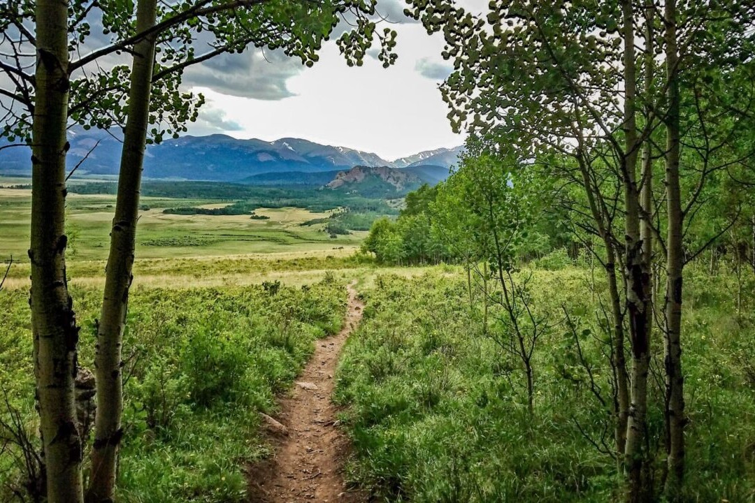
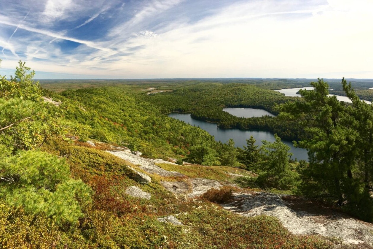
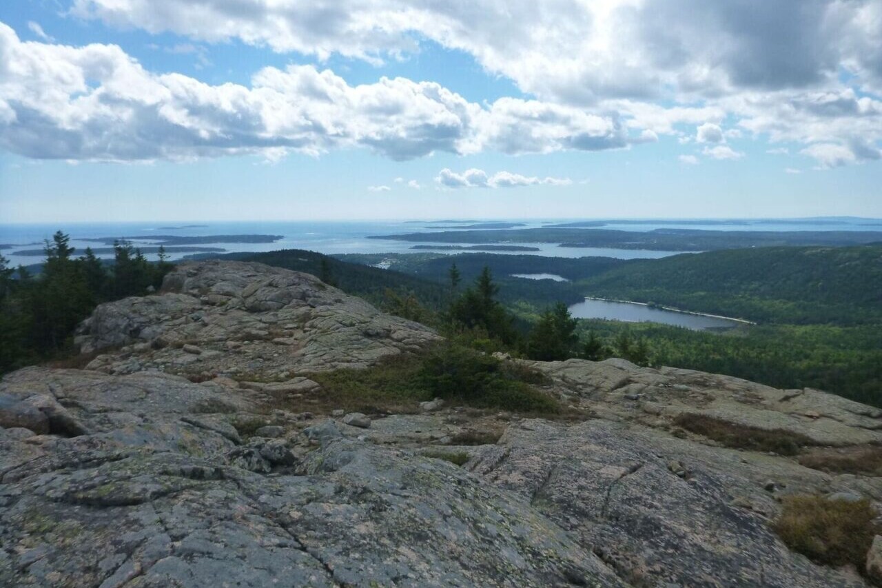
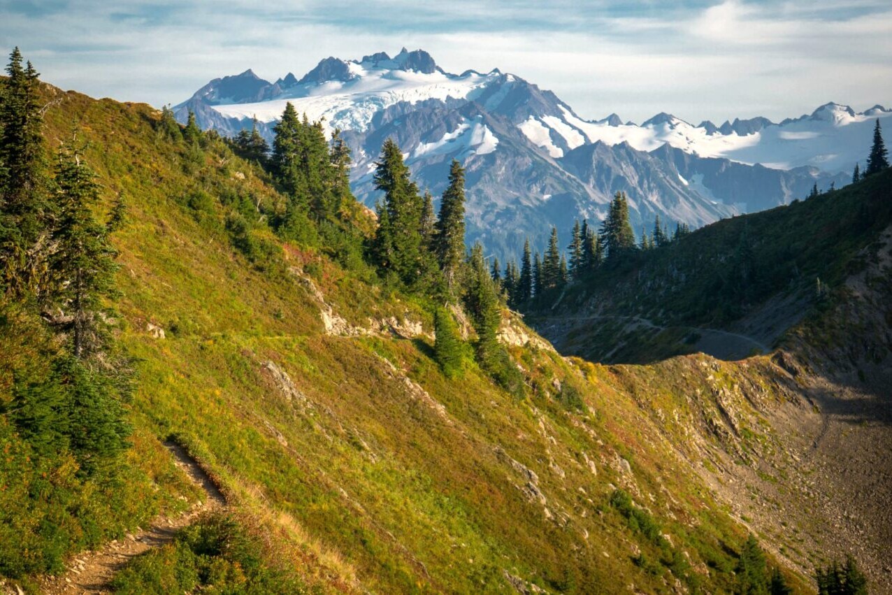
Arkansas, Ozark Highlands Trail
Photo by Logan Wilcoxson
4.8 ★★★★★ | 17K+ Reviews
Arkansas Hiker
Ouachita Trail, Ozark Highlands Trail, Eagle Rock Loop & Buffalo River Trail
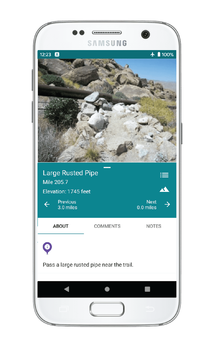
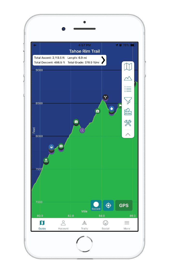
Download our guide to access the Arkansas Hiker maps, tracks, waypoints, and comments! The state of Arkansas has a variety of amazing hiking trails. The trails included in our hiker bundle include the Ouachita Trail, Ozark Highlands Trail, Eagle Rock Loop, and the Buffalo River Trail. The Ouachita National Recreation Trail is a 223 mile (350 km) path through the Ouachita Mountains that boasts beautiful forests and stunning wildflowers. The trail stretches from Talimena State Park in Oklahoma to Pinnacle Mountain State Park in Arkansas. The Ozark Highlands Trail is a 164 mile (260 km) journey from Lake Fort Smith to the Buffalo River at Woolum. It passes through some of the most beautiful and remote parts of the Ozark National Forest. Our hiking guides are perfect for a day-hike, section-hike, or thru-hike.
$19.99 all guides 4 guides ($4.99 to $9.99 each)
$19.99 all guides
4 guides ($4.99 to $9.99 each)


Arkansas Hiking Trails Map


How can I get it?
The Arkansas hiking maps are available as an in-app purchase in our Guthook Guides app, a free download from the Apple App Store or the Google Play Store.
Our iOS and Android apps do differ slightly in their appearance. However, the majority of their features remain the same, and they access the same trail guide data.
Eastern 20 miles of the Ouachita National Recreation Trail & the Pinnacle Mountain State Park trail system.
Save 33% off our Arkansas hiking trails with the Arkansas Hiker Special! Includes: Ouachita Trail, Ozark Highlands Trail, Buffalo River Trail and Eagle Rock Loop
$19.99
Eastern 20 miles of the Ouachita National Recreation Trail & the Pinnacle Mountain State Park trail system.
FREE DEMO
Entire 223-mile Ouachita National Recreation Trail from Talimena State Park (Oklahoma) to Pinnacle Mountain State Park (Arkansas). 400 + waypoints, 450+ photos.
$9.99
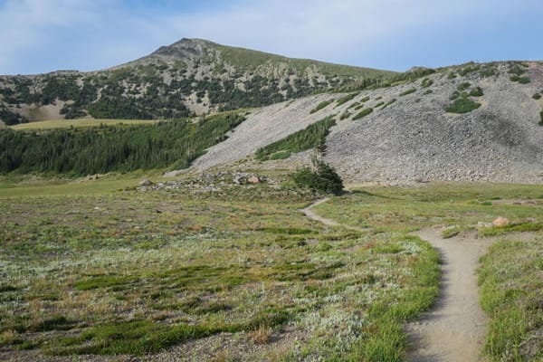
The Ozark Highlands Trail showcases the outstanding beauty of the Ozarks of Northwest Arkansas. This 164-mile trail stretches from Lake Fort Smith to the Buffalo River at Woolum. Nearly 300 waypoints, including water sources, campsites, and trailheads.
$9.99
26.8-mile loop trail through the Ouachita National Forest via the Little Missouri Trail, Viles Branch Horse Trail, and Athens-Big Fork Trail. This trail is among the most difficult yet popular and hikes in Arkansas.
$4.99
The 37.1-mile Buffalo River Trail follows the Buffalo National River, America’s first National River and one of the few remaining undammed rivers in the U.S.
$4.99
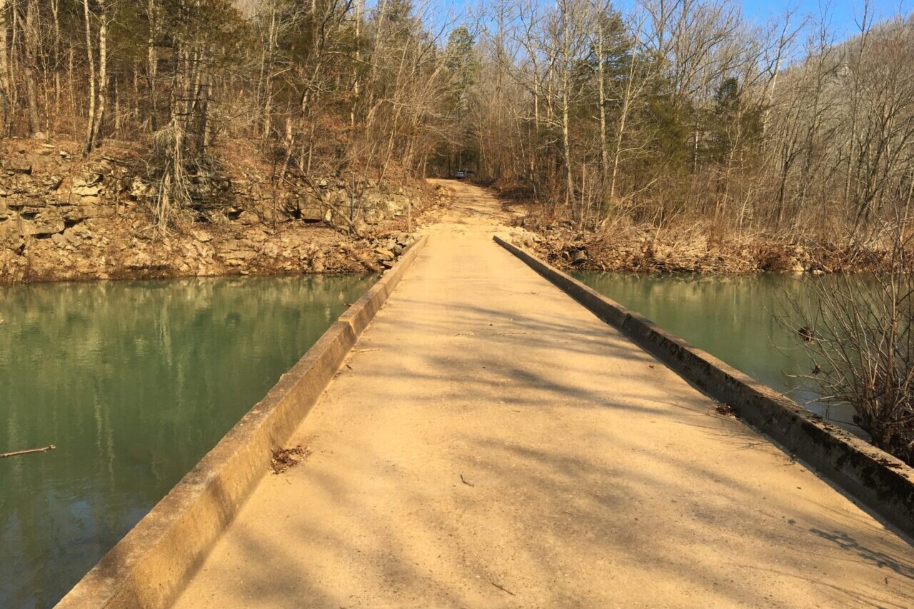
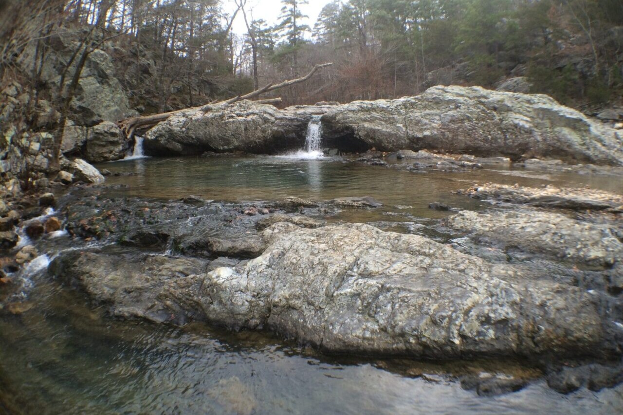
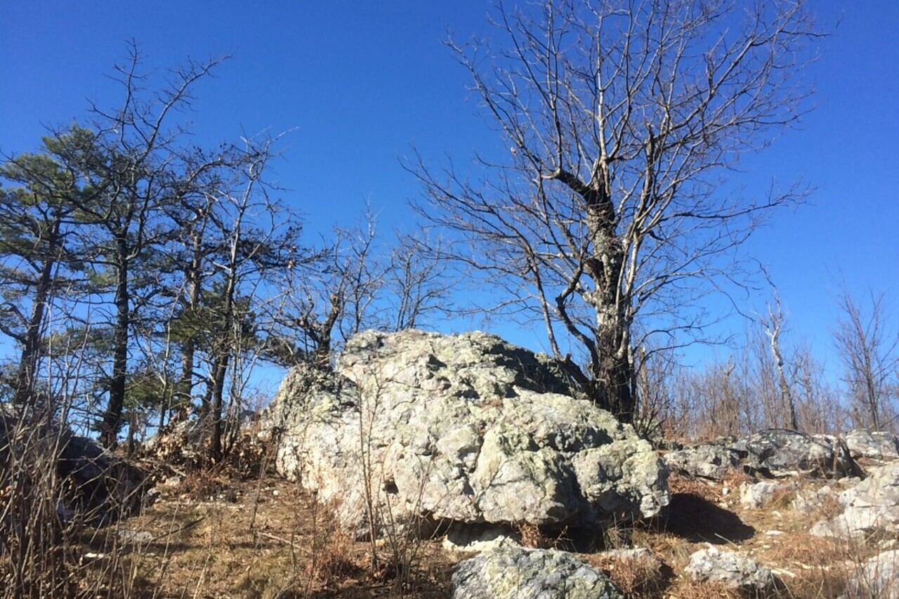
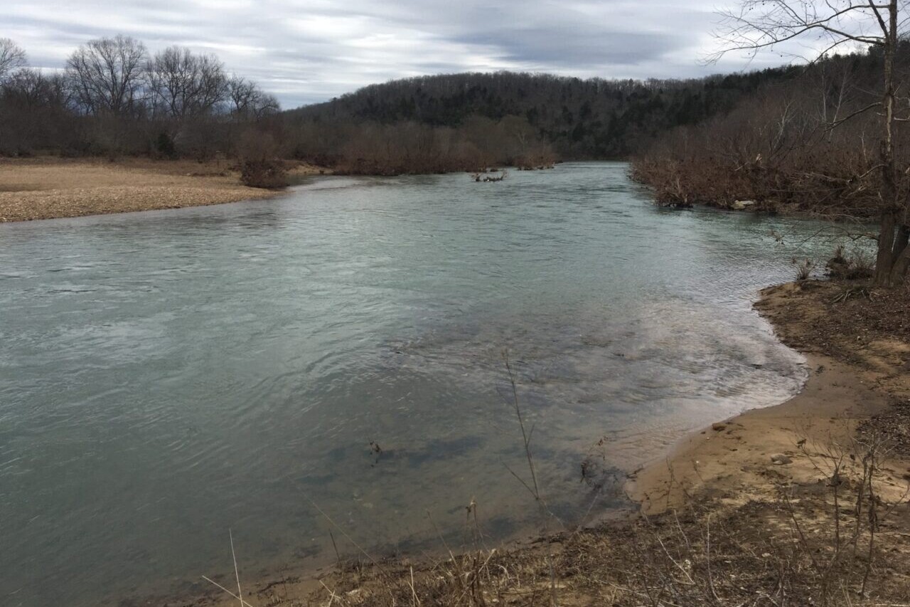
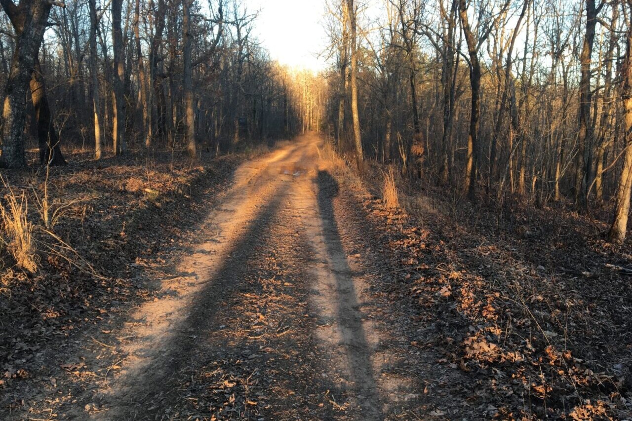
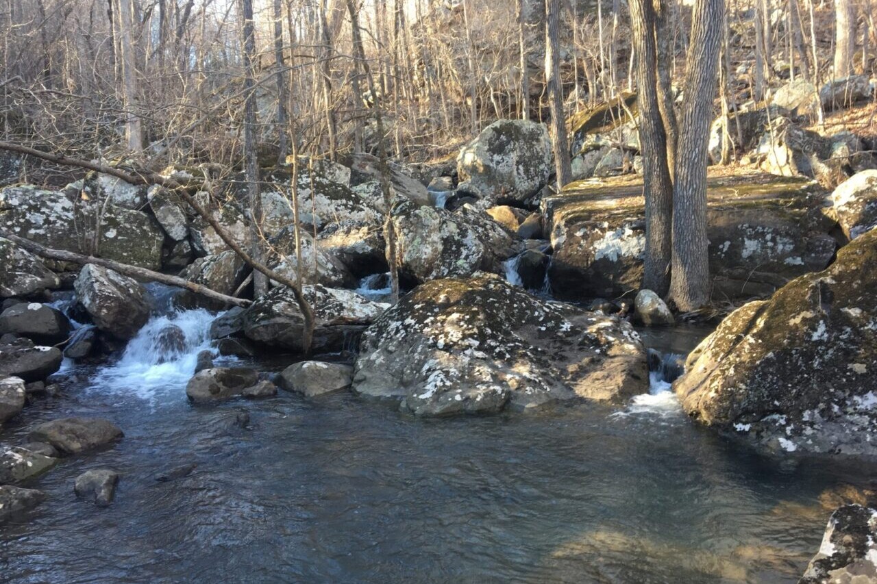
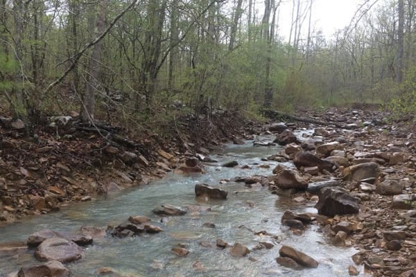
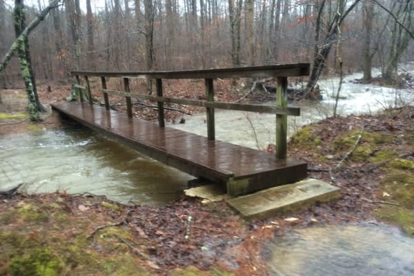
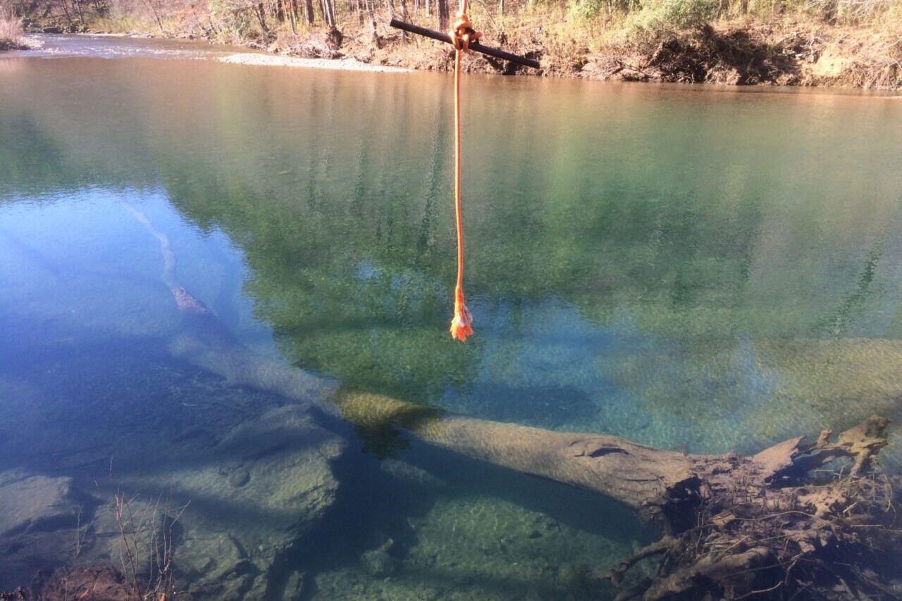
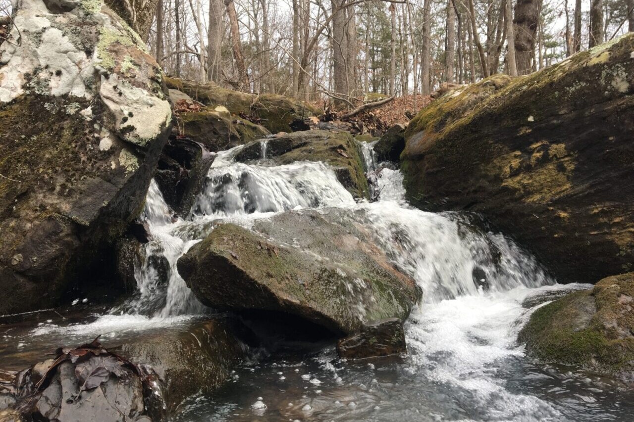
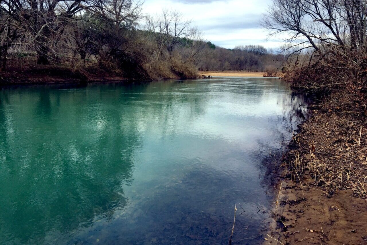
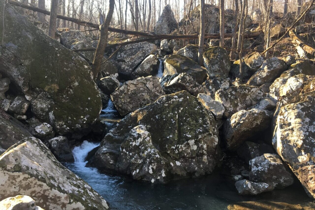
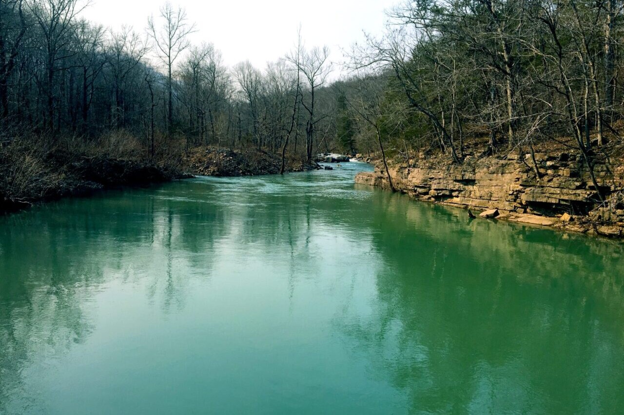
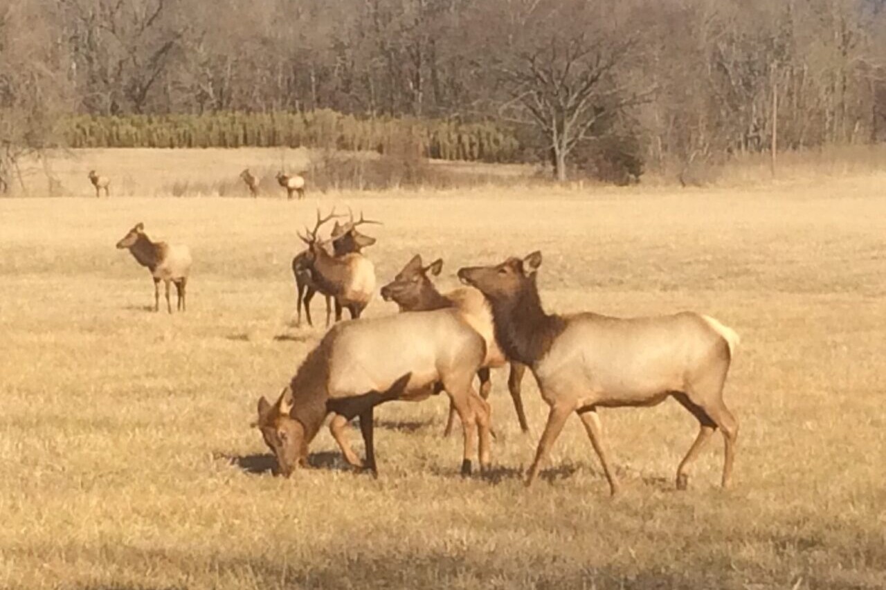
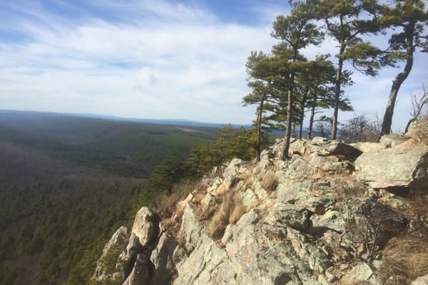
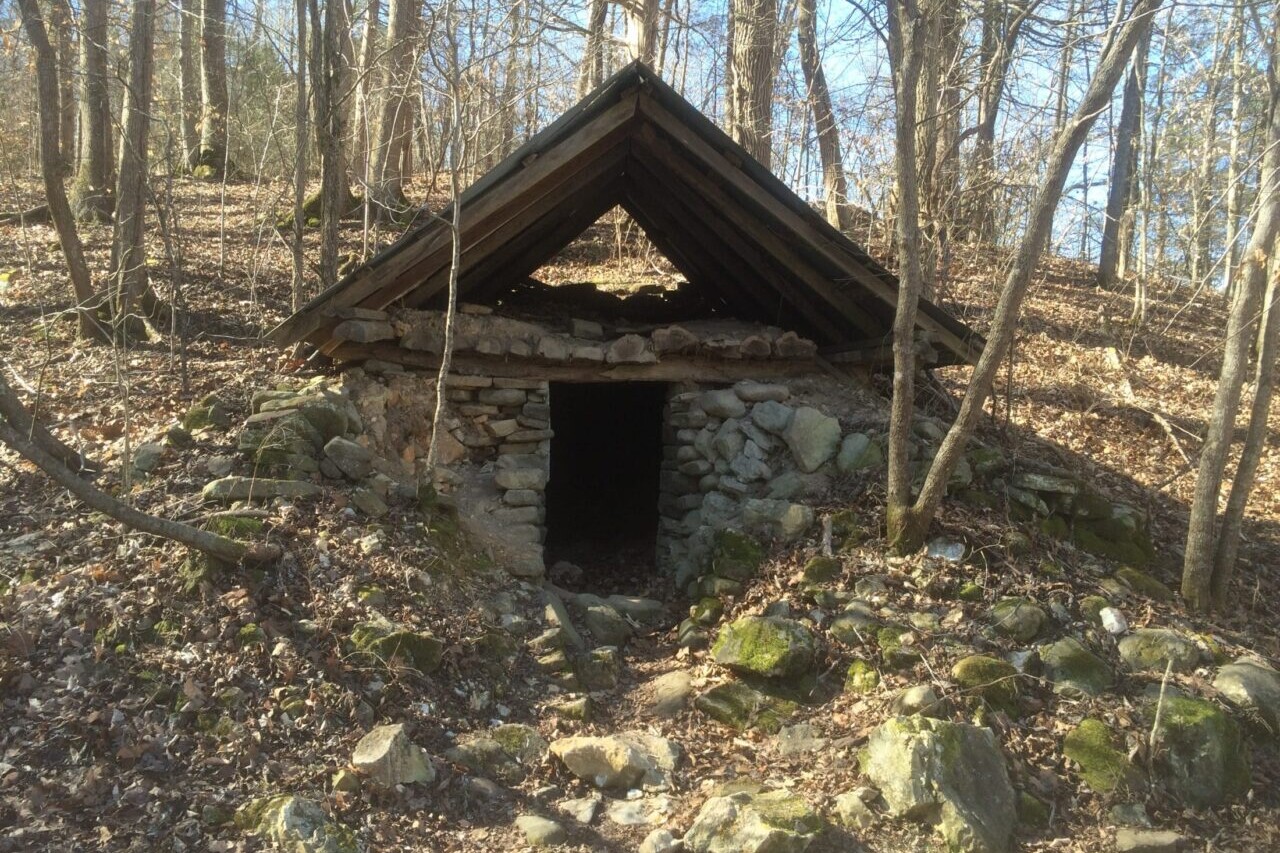
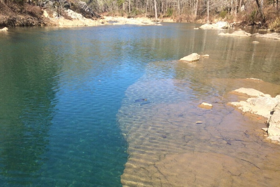
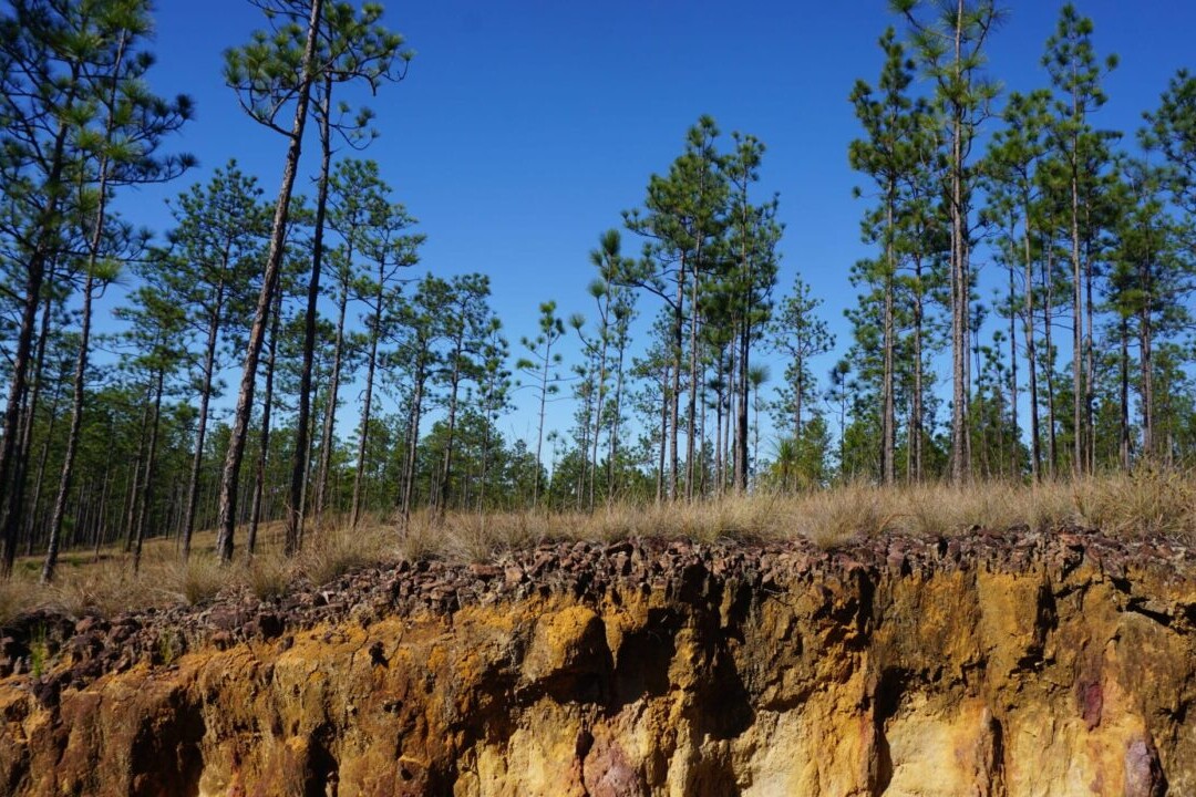
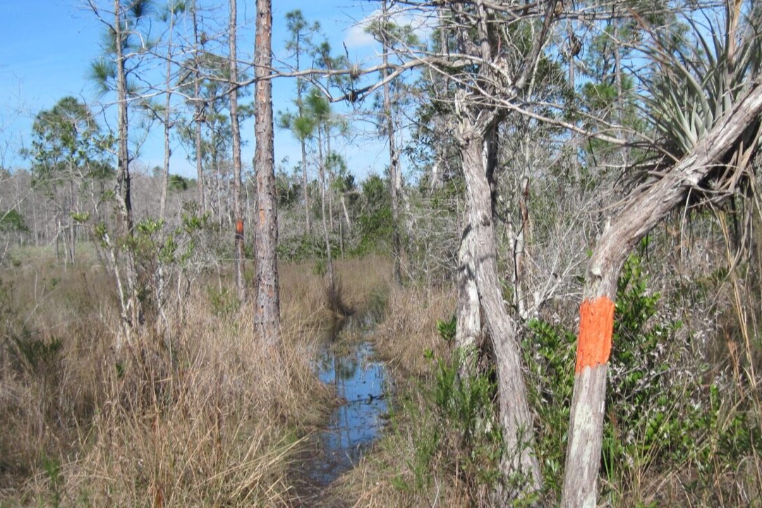
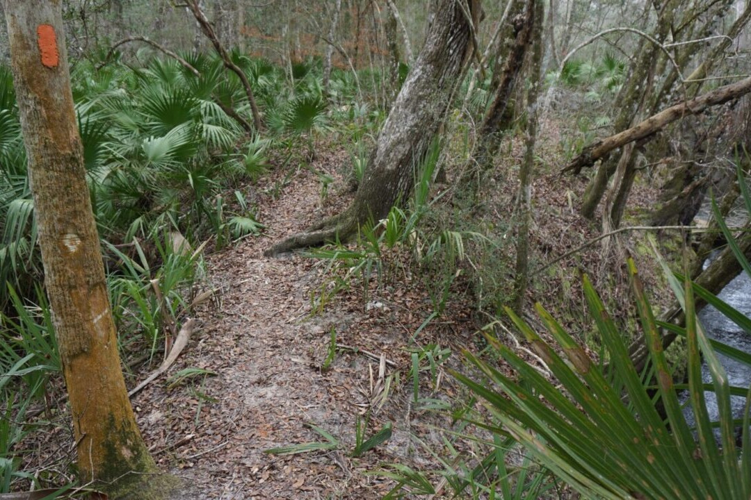
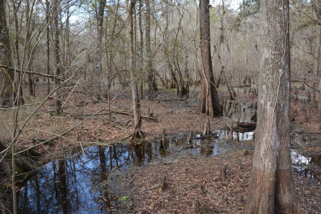
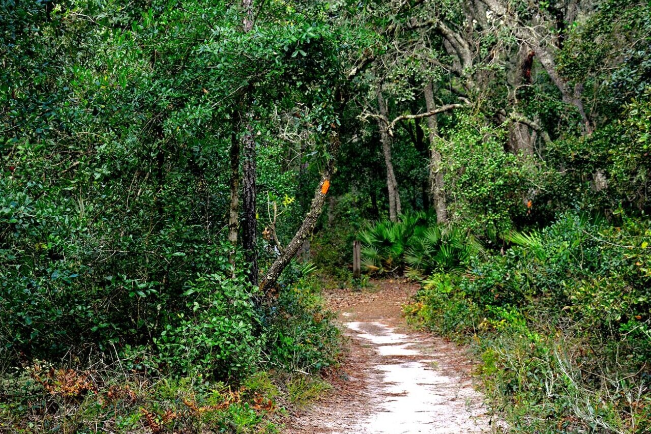
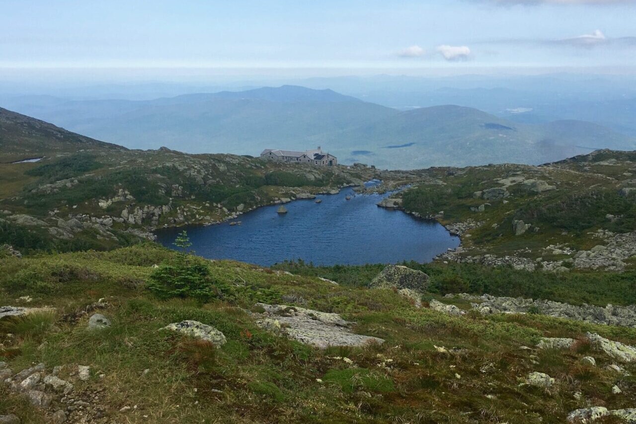
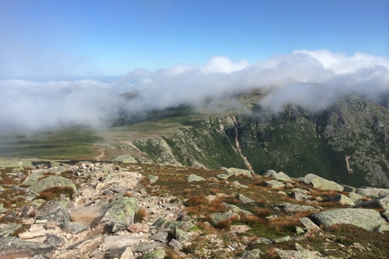
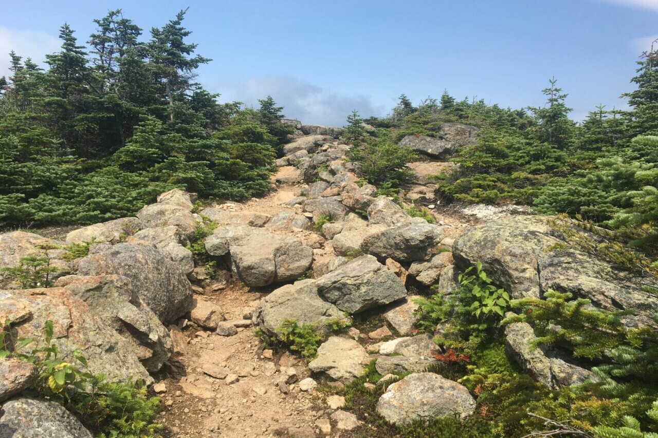
Photos of the Arkansas Hiking Trails

Hike more.
Check out some of the other trail guides we offer!
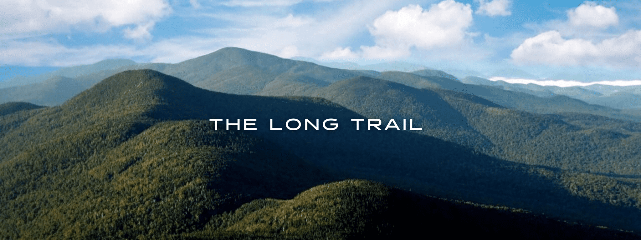
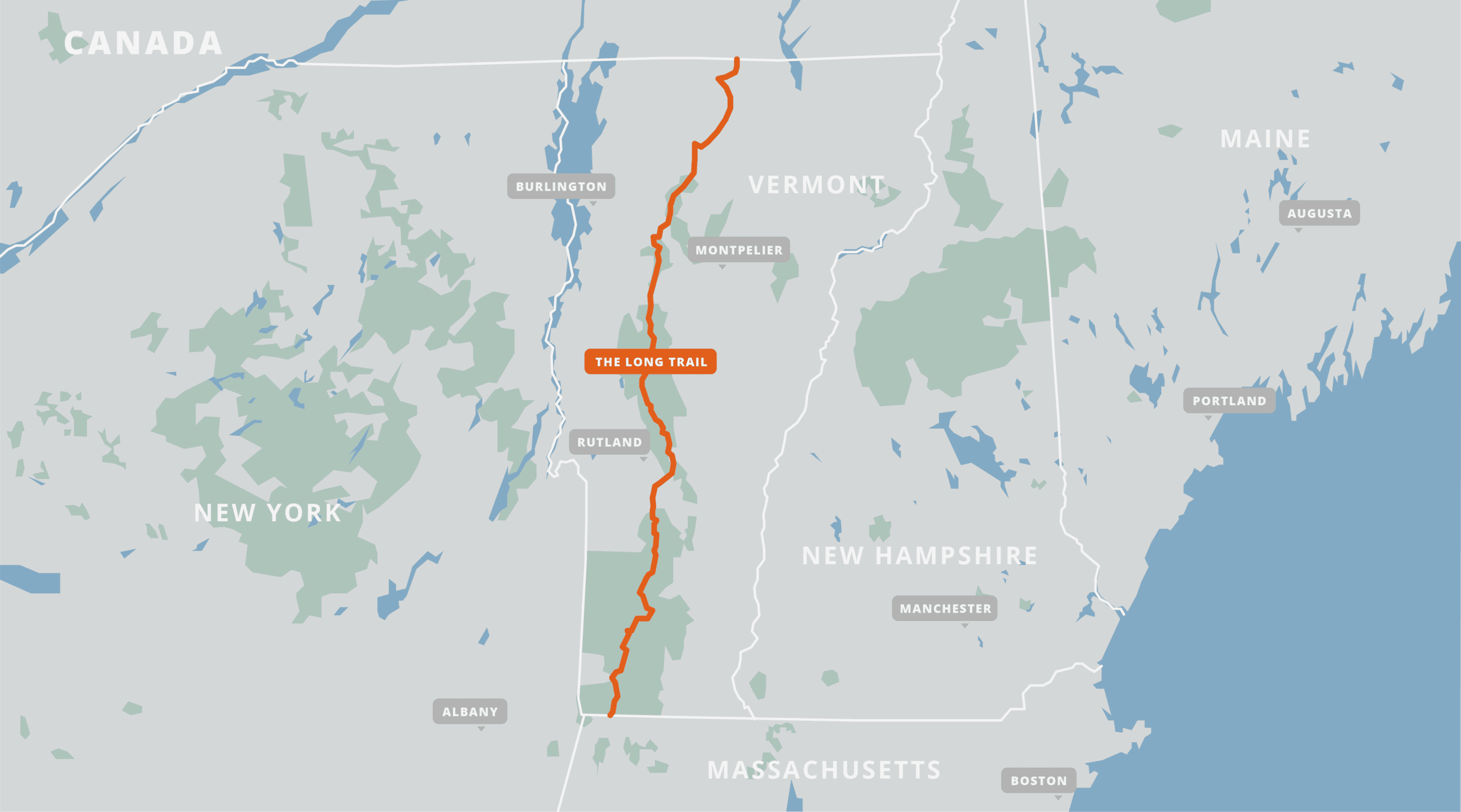
The Long Trail
Hike the Green Mountains through forests and peaks on the Long Trail. The Long Trail is the oldest long-distance hiking trail in the United States. It follows the Green Mountains for 270 miles (430 km), crossing the state of Vermont from Massachusetts to Canada. Its rugged route summits Vermont’s highest peaks and visits a multitude of scenic forests, lakes, and rivers along the way. The southern 100 miles (160 km) of the Long Trail run together with the Appalachian Trail. The northern portion of the Long Trail is generally considered to be more challenging and remote than the southern end. The Long Trail offers endless hiking opportunities for thru-hikers, backpackers, section-hikers, and day-hikers.
20% off for our Hiking Season Kick-off SALE! The Long Trail is now $8.99.
30% off for our Small Business Saturday SALE! Our Long Trail guide is now $7.99.
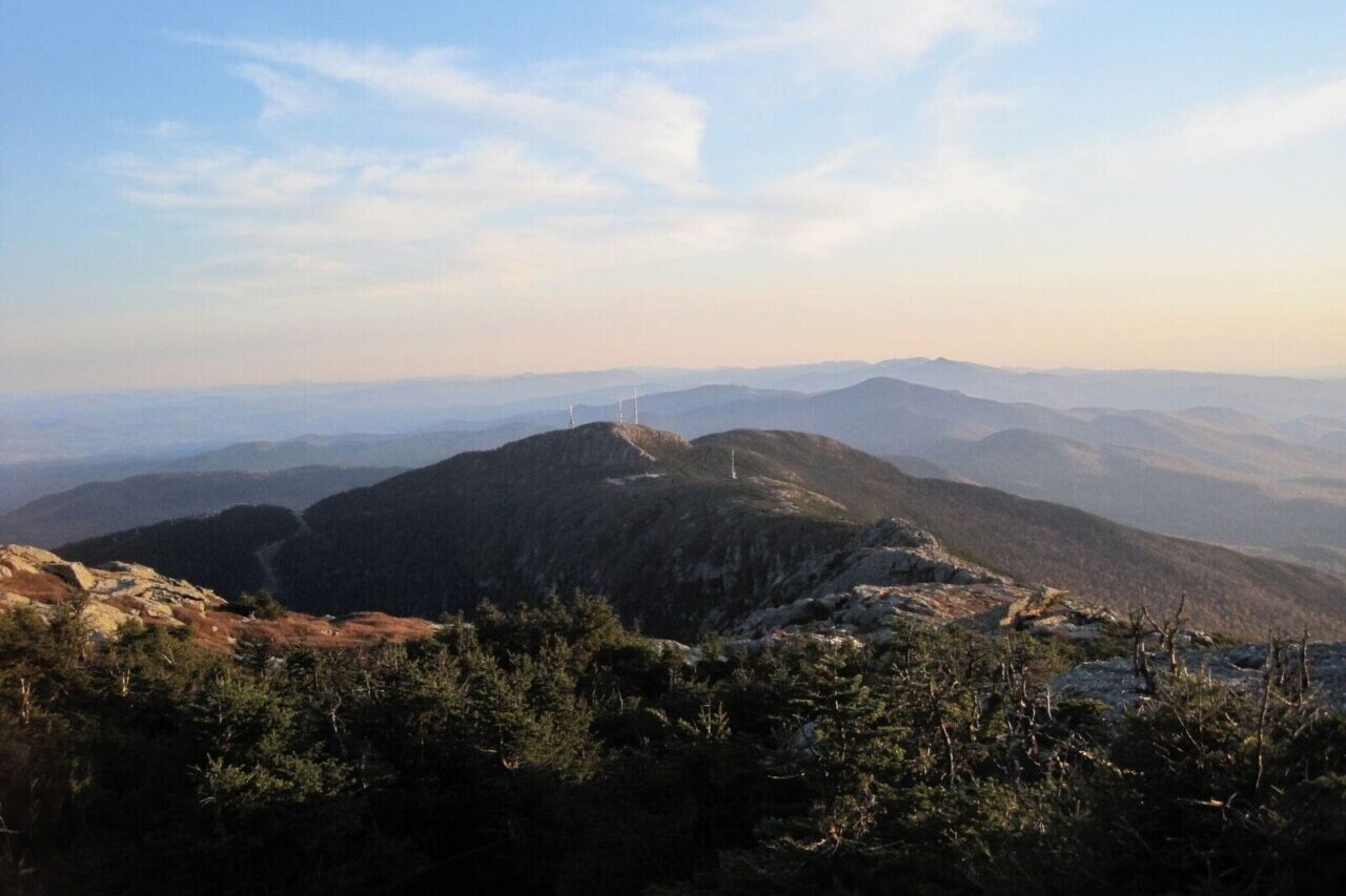
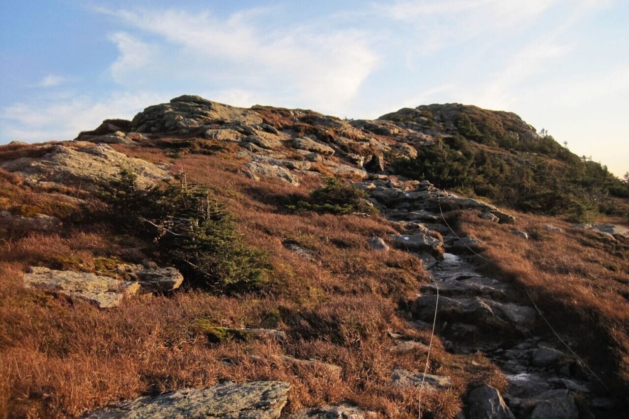
Mount Mansfield, Vermont, The Long Trail
Photo by Ryan Linn
4.8 ★★★★★ | 17K+ Reviews
The Long Trail
270 miles • Vermont
Download our guide to access the Long Trail map, tracks, waypoints, and comments! Hike the Green Mountains through forests and peaks on the Long Trail. The Long Trail is the oldest long-distance hiking trail in the United States. It follows the Green Mountains for 270 miles (430 km), crossing the state of Vermont from Massachusetts to Canada. Its rugged route summits Vermont's highest peaks and visits a multitude of scenic forests, lakes, and rivers along the way. The southern 100 miles (160 km) of the Long Trail run together with the Appalachian Trail. The northern portion of the Long Trail is generally considered to be more challenging and remote than the southern end. The Long Trail offers endless hiking opportunities for thru-hikers, backpackers, section-hikers, and day-hikers.
$11.99 full guide
$11.99 full guide
The Long Trail Map

How can I get it?
The Long Trail map is available as an in-app purchase in our Guthook Guides app, a free download from the Apple App Store or the Google Play Store.
Our iOS and Android apps do differ slightly in their appearance. However, the majority of their features remain the same, and they access the same trail guide data.
The original inspiration for the Appalachian Trail, the Long Trail runs the length of the state of Vermont, at about 270 miles from the Massachusetts border to the Canadian border. The southern 100 miles of the LT coincide with the AT, but the northern portion of the LT is generally considered much more challenging and remote than the southern end.
$11.99
Stories from the Long Trail!
Check out our most recent blog posts about the Long Trail.
Nothing found.
Nothing found.
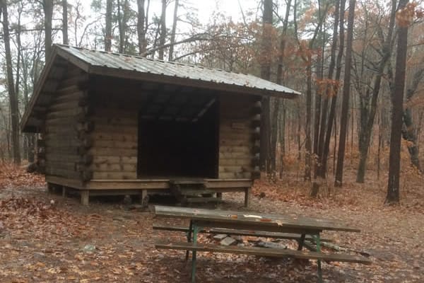
Photos of the Long Trail
Hike more.
Check out some of the other trail guides we offer!

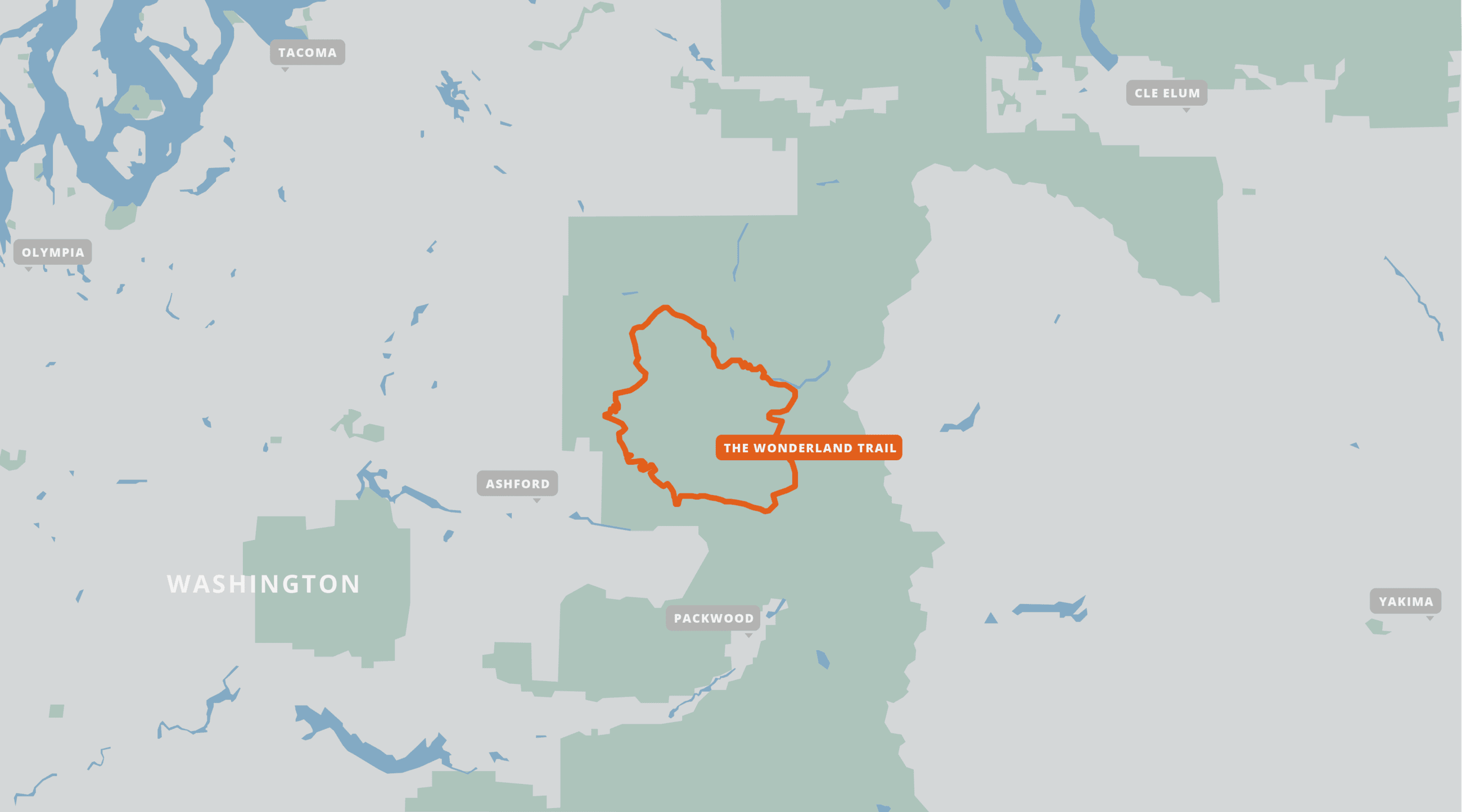
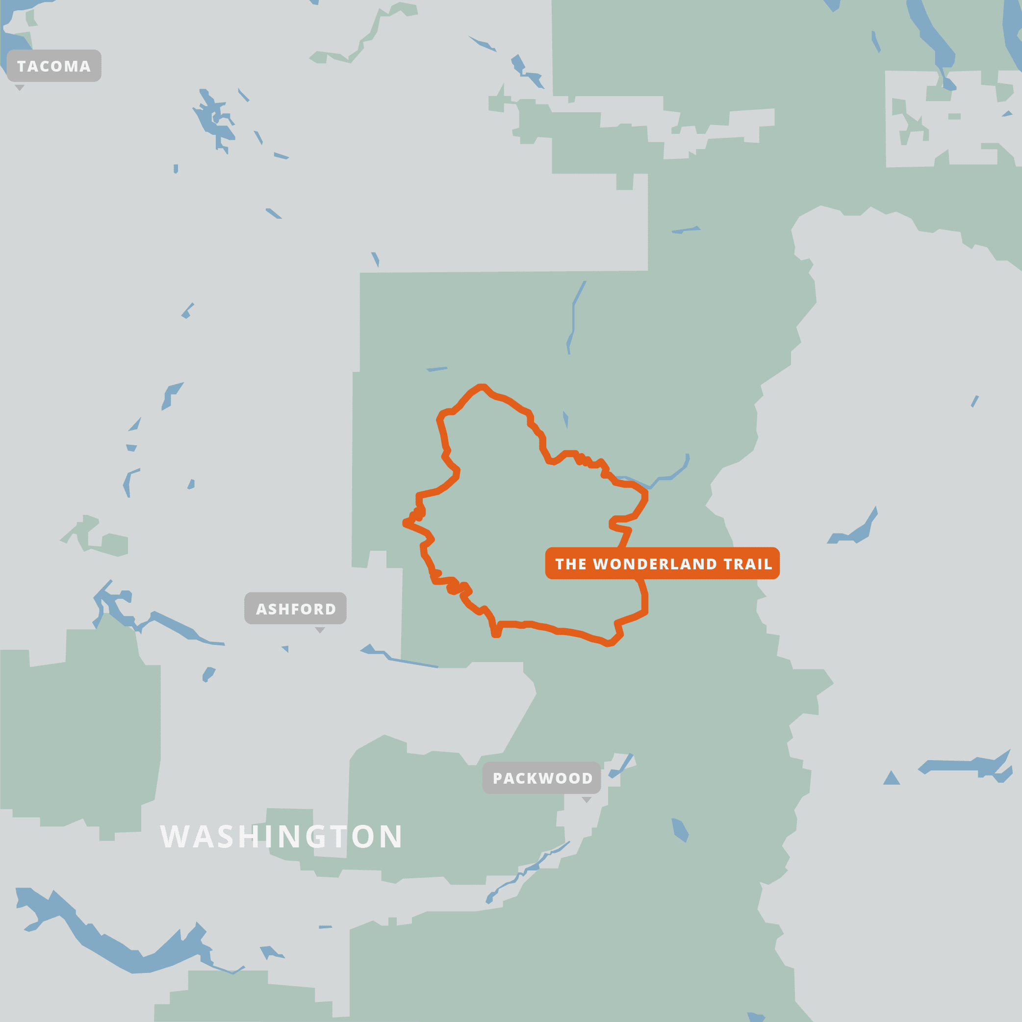
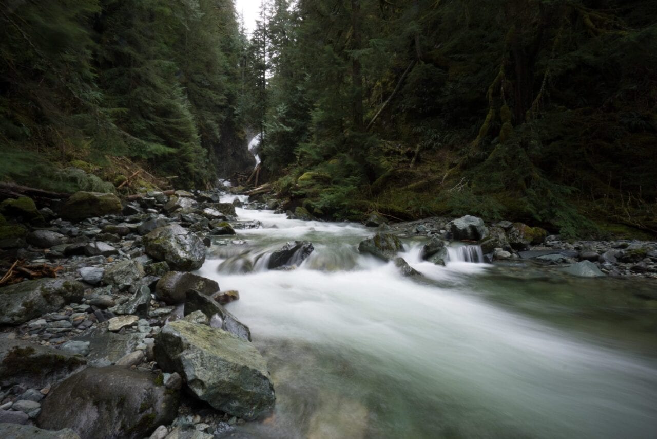
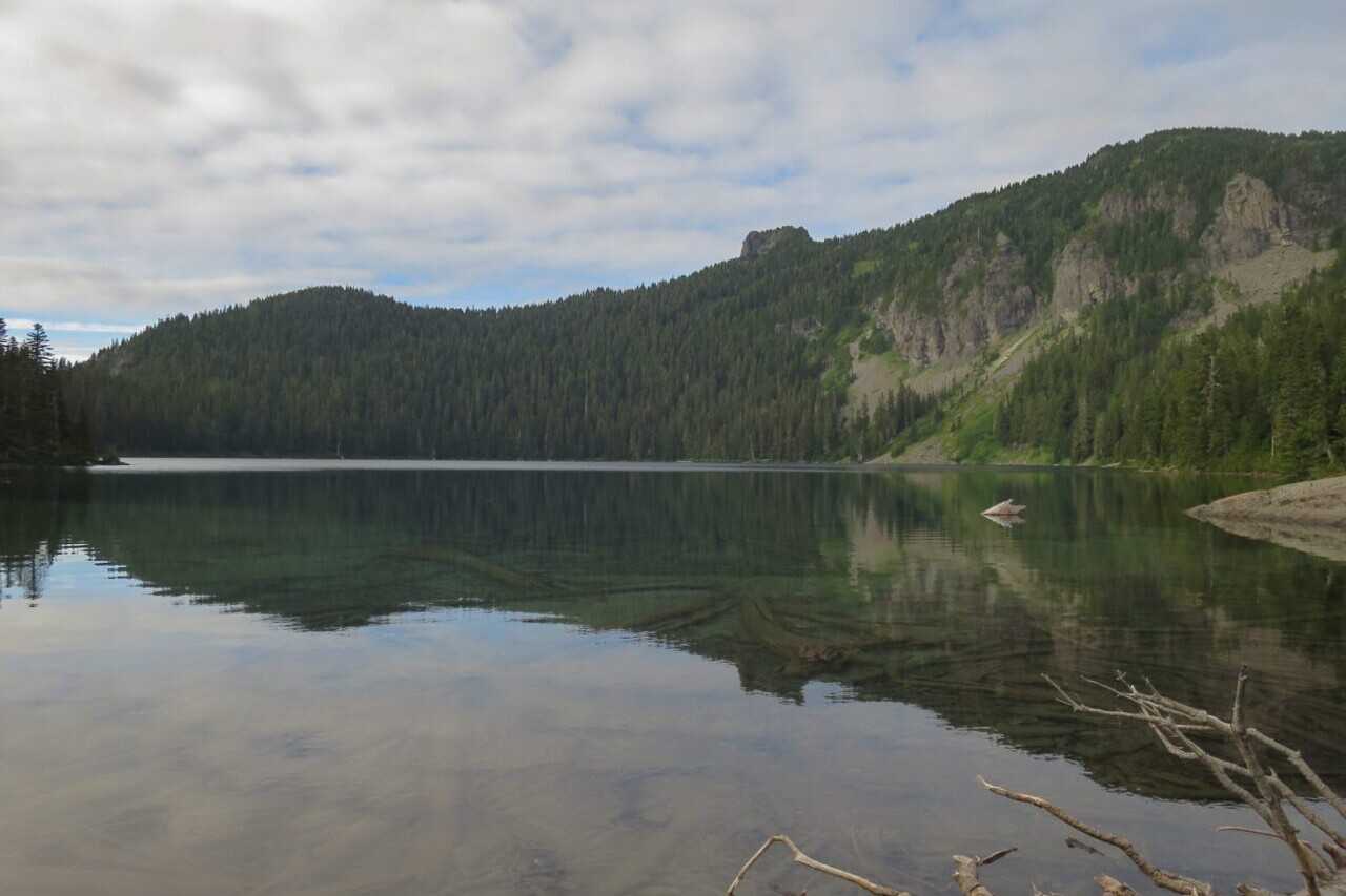
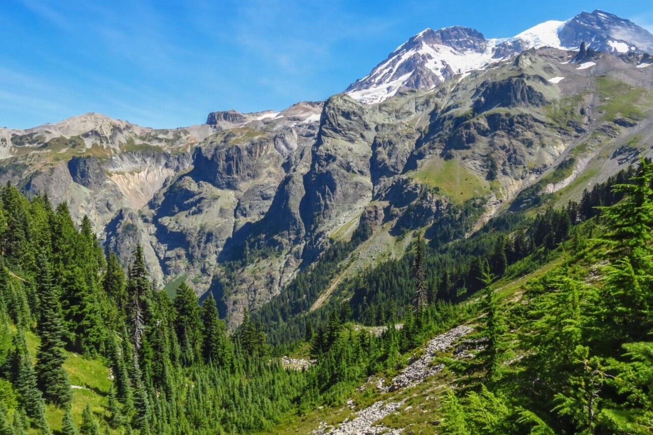
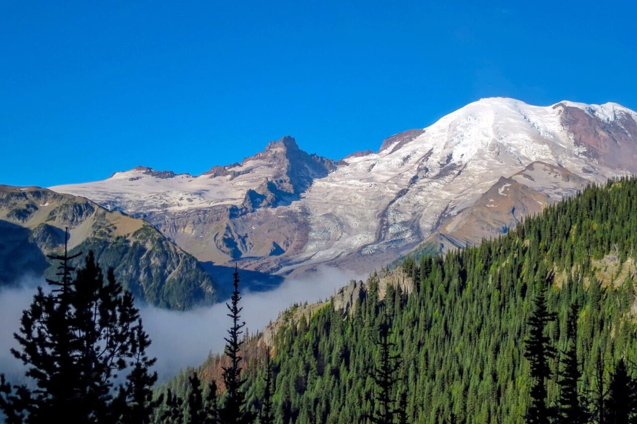
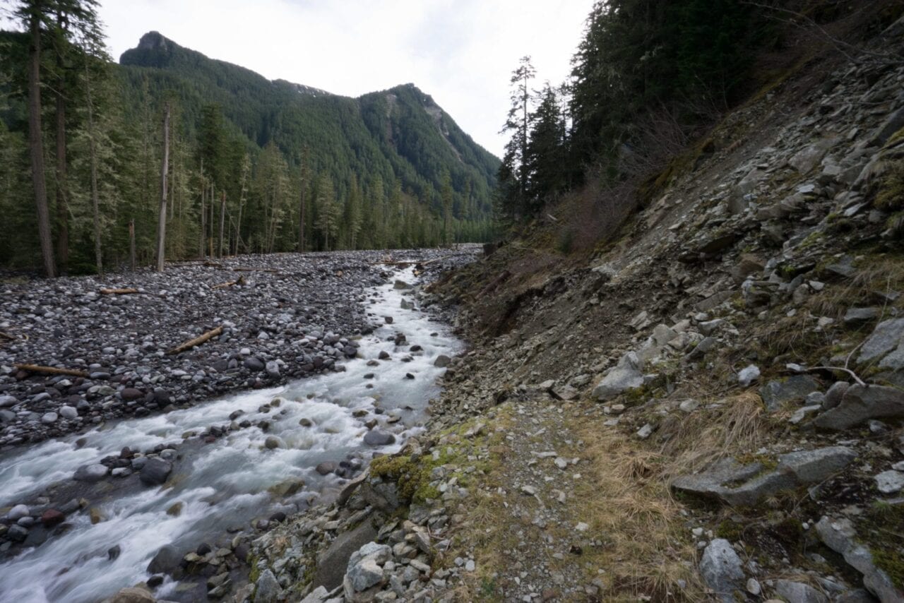
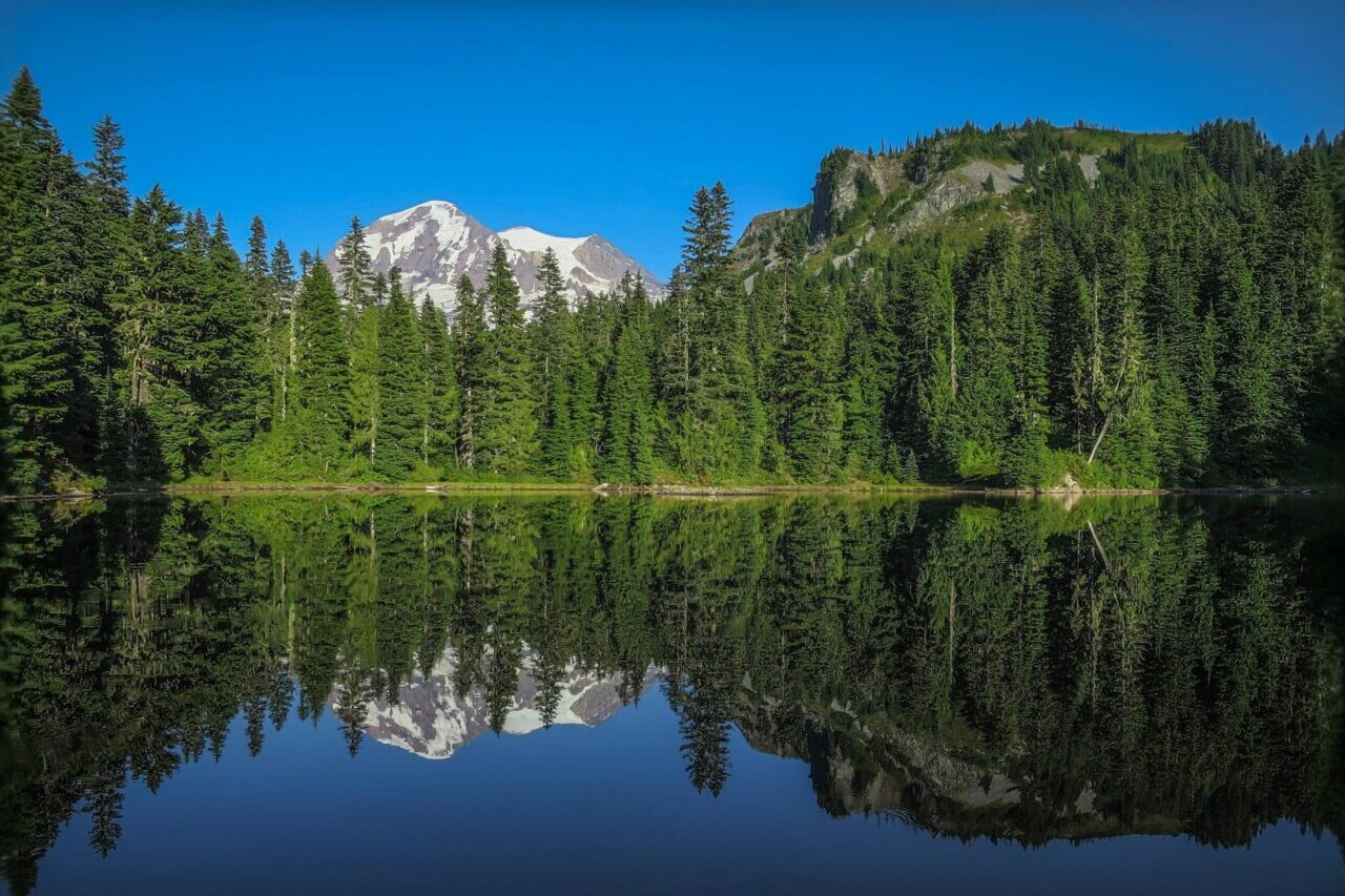
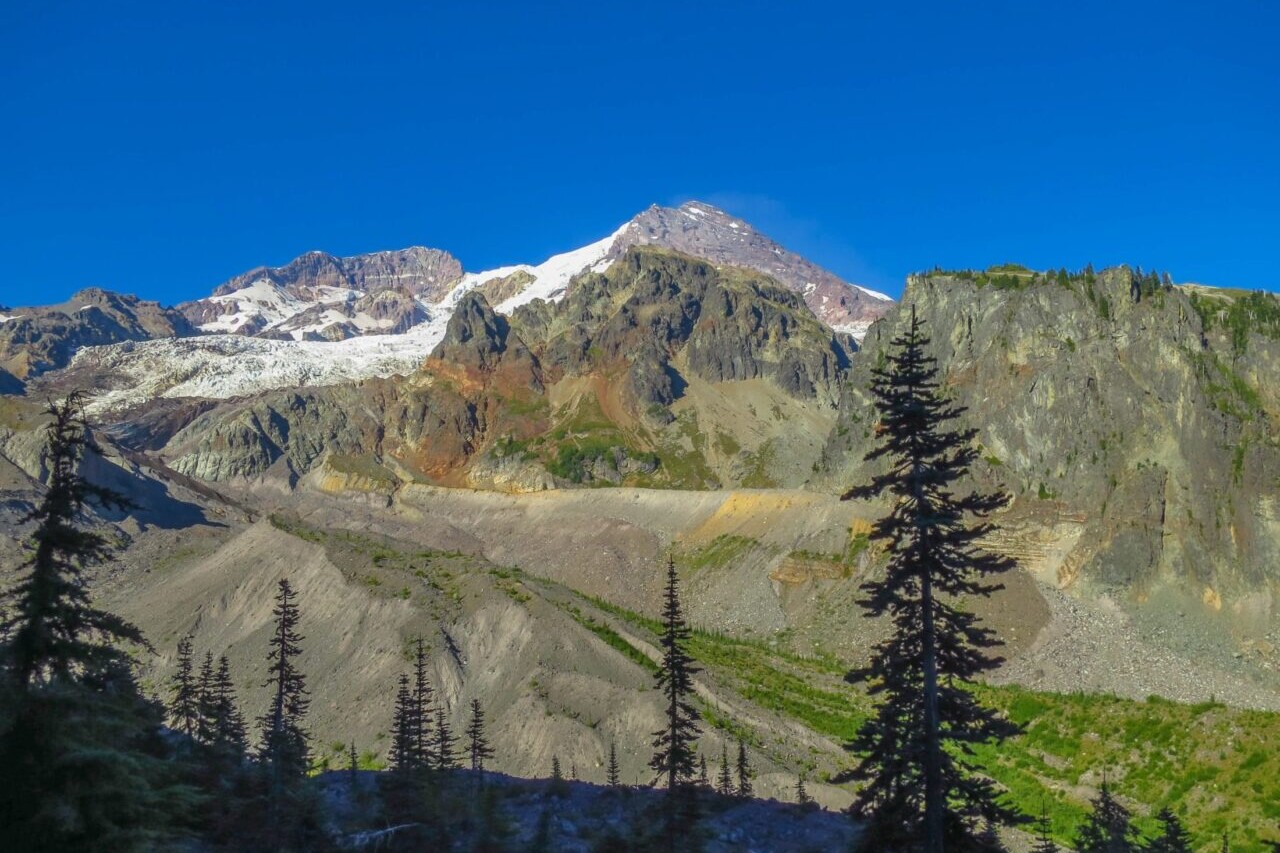
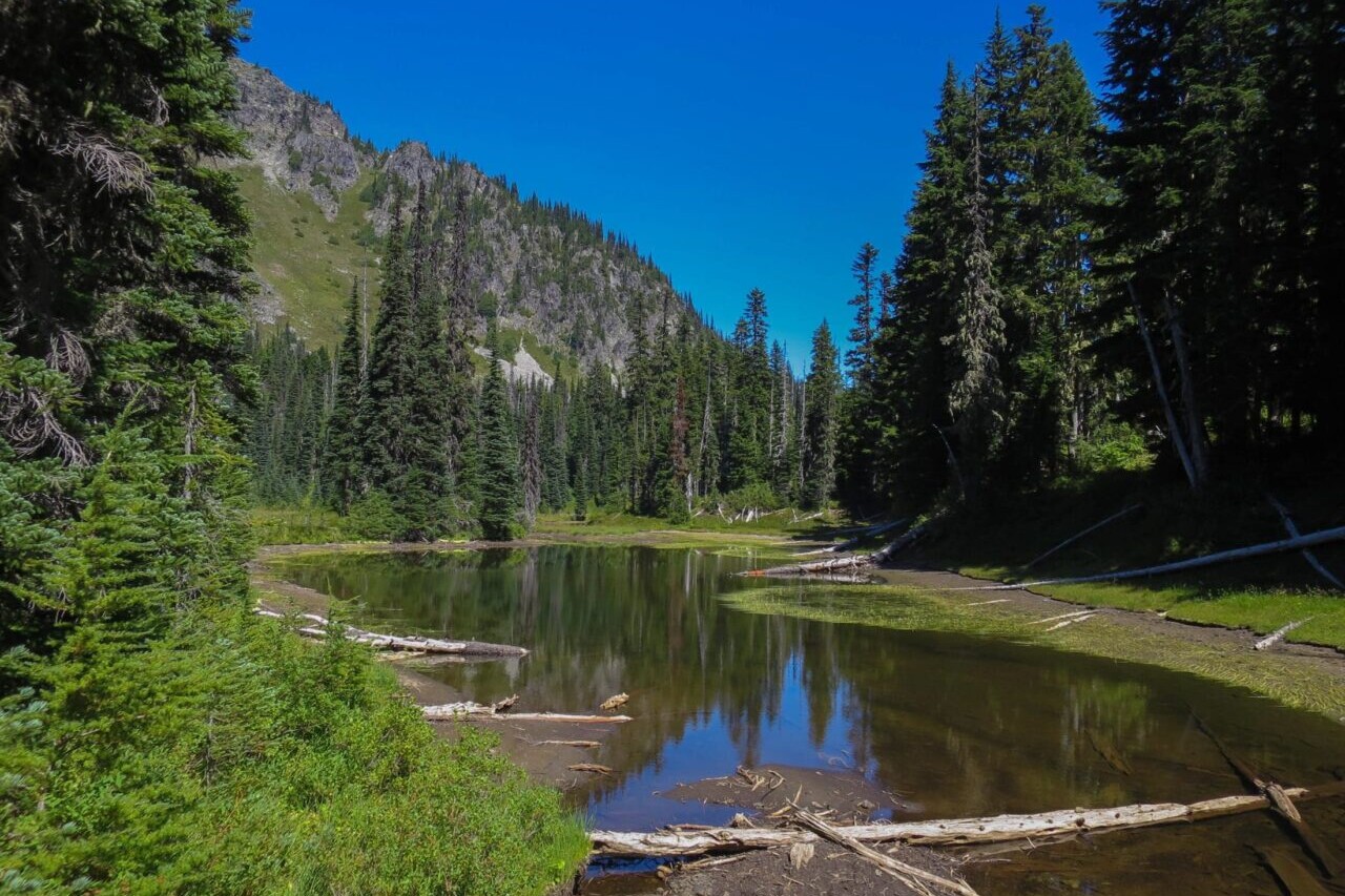
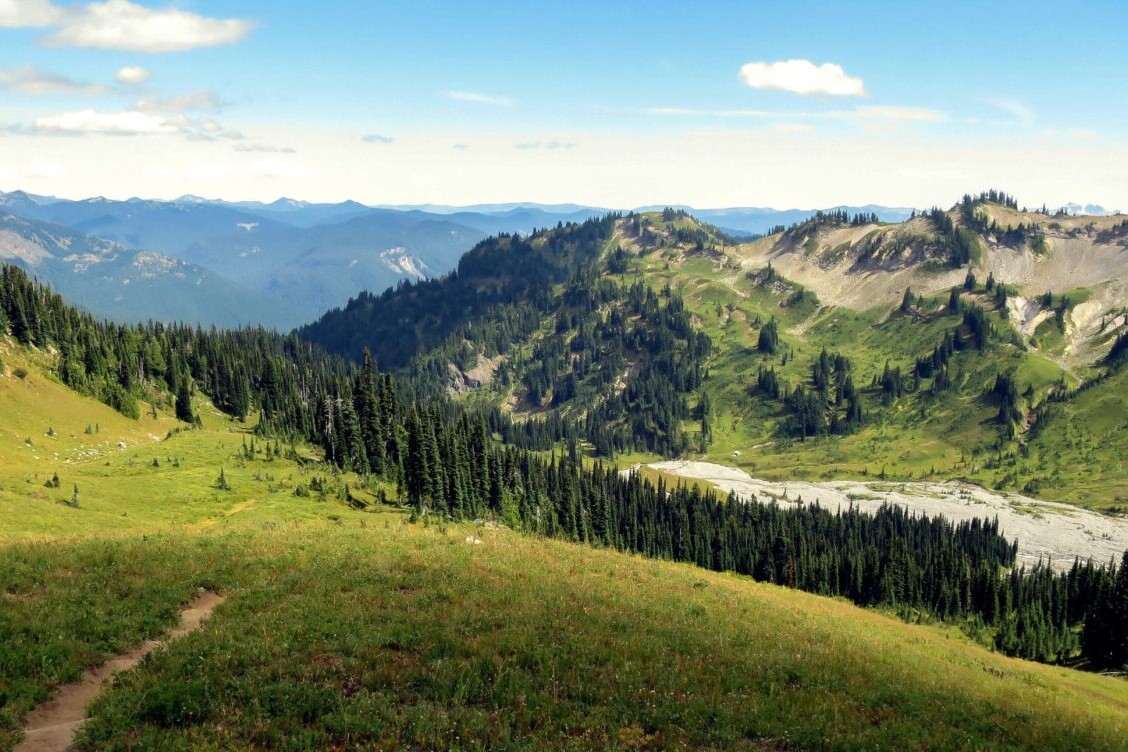
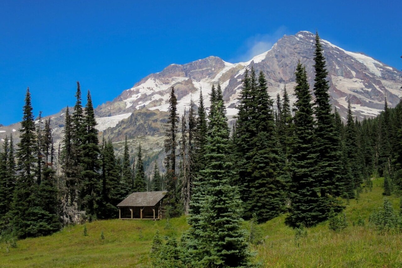
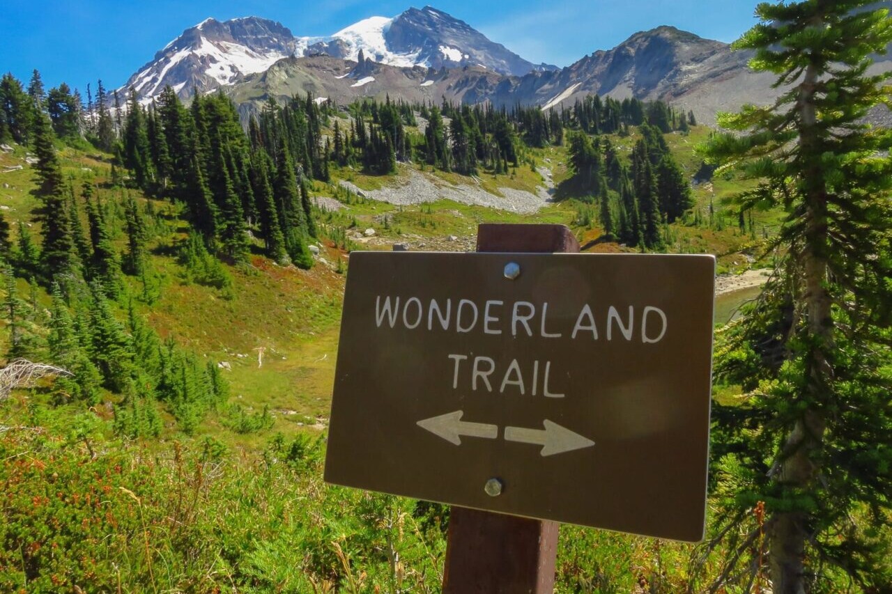
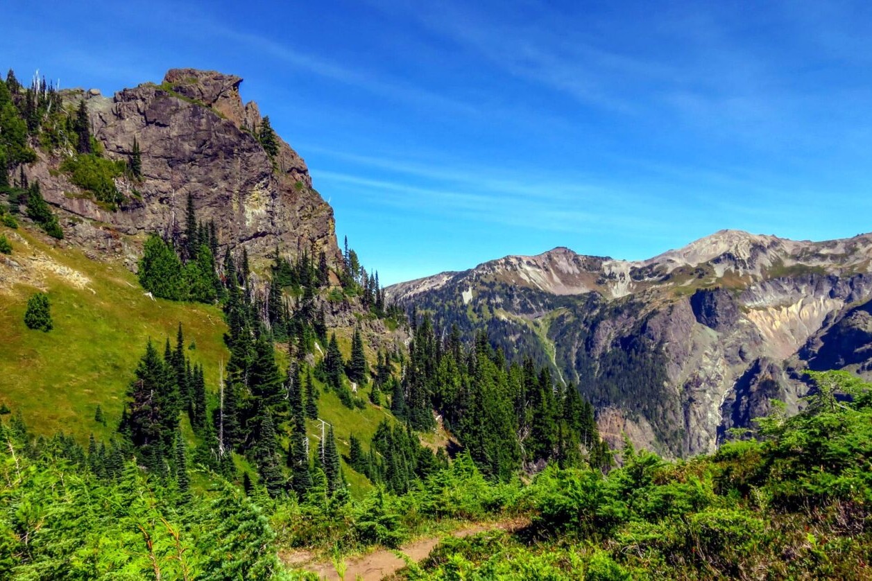
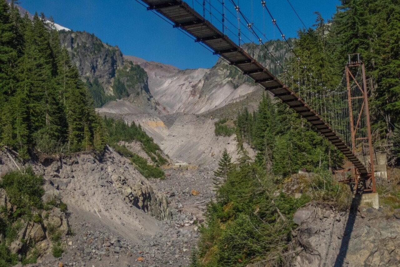
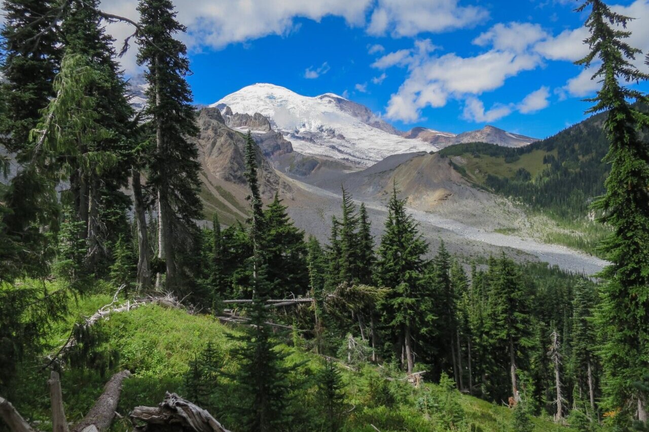
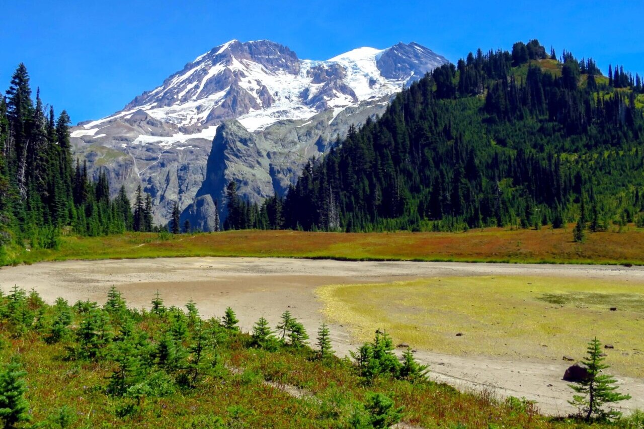
Wonderland Trail
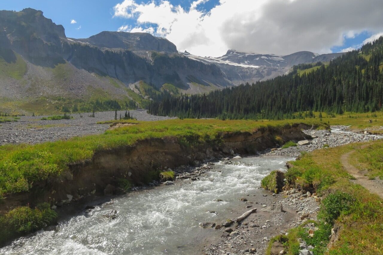
Official Companion App to Hiking the Wonderland Trail Guidebook by Tami Asars. The Wonderland Trail is an adventure of about 90 miles (145 km), encircling Washington State’s Mt. Rainier. The loop is a challenging hike with lots of elevation change, taking travelers from high alpine peaks, to glaciers and glacial valleys, to sub-alpine meadows, to temperate rainforests, to cascading rivers, affording spectacular views of Mt. Rainier all the while. Situated in Mount Rainier National Park, the trail was built in the early 1910s and was designated a National Recreation Trail in the 1980s. As the trail circumnavigates the mountain, hikers will be treated to astonishing views of the different sides of Mt. Rainier, colorful wildflowers, and much more. The trail is ideal for thru-hikers, backpackers, and section-hikers.
20% off for our Hiking Season Kick-off SALE! The Wonderland Trail is now $11.99 and the Western Hiker Special is now $39.99.
Mt. Rainier, Wonderland Trail
Photo courtesy of Tami Asars
4.8 ★★★★★ | 17K+ Reviews
Wonderland Trail
90 miles • Washington State
Official Companion App to Hiking the Wonderland Trail Guidebook by Tami Asars
Download our guide to access the Wonderland Trail map, tracks, waypoints, and comments! The Wonderland Trail is an adventure of about 90 miles (145 km), encircling Washington State's Mt. Rainier. The loop is a challenging hike with lots of elevation change, taking travelers from high alpine peaks, to glaciers and glacial valleys, to sub-alpine meadows, to temperate rainforests, to cascading rivers, affording spectacular views of Mt. Rainier all the while. Situated in Mount Rainier National Park, the trail was built in the early 1910s and was designated a National Recreation Trail in the 1980s. As the trail circumnavigates the mountain, hikers will be treated to astonishing views of the different sides of Mt. Rainier, colorful wildflowers, and much more. The trail is ideal for thru-hikers, backpackers, and section-hikers.
$14.99 full guide
95 mi (150 km)
$14.99 full guide
Wonderland Trail Map
How can I get it?
The Wonderland Trail map is available as an in-app purchase in our Guthook Guides app, a free download from the Apple App Store or the Google Play Store.
Our iOS and Android apps do differ slightly in their appearance. However, the majority of their features remain the same, and they access the same trail guide data.
The Wonderland Trail is a 90.5-mile trail that circles Mount Rainier in Mount Rainier National Park.
$14.99
Photos of the Wonderland Trail
Hike more.
Check out some of the other trail guides we offer!
About our partner
Tami Asars
Tami Asars is a writer and nature photographer focused on outdoor recreation. She is the author and photographer of popular hiking guides to the Pacific Northwest, including Hiking the Wonderland Trail, Day Hiking Mount Adams and Goat Rocks , Hiking the PCT: Washington, and more. She also is a contributor and columnist for Washington Trails Magazine, and has also served as a professional guide, teaching and showing people of all skill levels the wonders of backpacking in the Pacific Northwest.
Atlas Guides created and maintains the Wonderland Trail app, which is the app-based version of Tami Asars’ best selling guidebook, Hiking the Wonderland Trail.
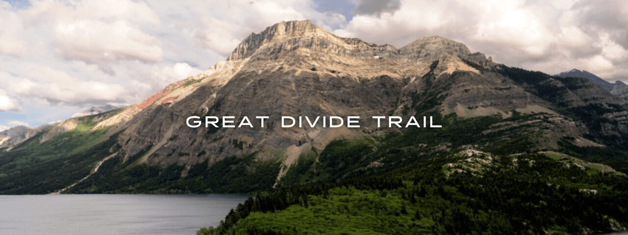
Great Divide Trail
Official app of Canada’s Great Divide Trail Association. The Great Divide Trail in Canada traverses the Continental Divide between Alberta and British Columbia as its unsigned route wanders the wilderness of the Canadian Rockies for more than 1100 km (680 mi). As one of the most challenging and breathtaking long-distance trails in the world, the Great Divide Trail offers a wilderness experience through some of the most spectacular landscapes on the planet. It is an unforgettable adventure for any thru-hiker, backpacker, or day-hiker to take on.
20% off for our Hiking Season Kick-off SALE! The Great Divide Trail is now $13.99.
View of Vimy Peak, Upper Waterton Lake, Great Divide Trail
Photo by Jim Witkowski
4.8 ★★★★★ | 17K+ Reviews
Great Divide Trail
1100 km / 680 miles • Alberta & British Columbia
Official App of the Great Divide Trail Association
Download our guide to access the GDT map, tracks, waypoints, and comments! The Great Divide Trail traverses the Continental Divide between Alberta and British Columbia as its unsigned route wanders the wilderness of the Canadian Rockies for more than 1100 km (680 mi). As one of the most challenging and breathtaking long-distance trails in the world, the Great Divide Trail offers a wilderness experience through some of the most spectacular landscapes on the planet. It is an unforgettable adventure for any thru-hiker, backpacker, or day-hiker to take on.
CAD$24.99 full guide 7 sections (CAD$5.49 each)
CAD$24.99 full guide
7 sections (CAD$5.49 each)
Great Divide Trail Map


How can I get it?
The Great Divide Trail map is available as an in-app purchase in our Guthook Guides app, a free download from the Apple App Store or the Google Play Store.
Our iOS and Android apps do differ slightly in their appearance. However, the majority of their features remain the same, and they access the same trail guide data.
This full-featured demo of the Great Divide Trail app includes the first 54 km of the trail, from the Canada-U.S. border in Waterton Park to Sage Pass.
The Great Divide Trail Thru-Hiker Special includes all seven sections of the Great Divide Trail with the entire trail also available in a single section: a 35% savings over buying each Section separately. Includes the 1120-km Great Divide Trail and more than 80 side trails, exit trails, and alternate routes along the GDT.
CAD$24.99 / US$17.99
Section A of the Great Divide Trail is the southern-most 147 km of the trail, from the international border in Waterton Lakes National Park to the town of Coleman. Includes 16 side trails and alternate routes: the Barnaby Ridge Alternate, Goat Haunt Alternate, Lynx Creek Road Alternate, Mt. Rowe – Sage Pass Alternate, South Kootenay Pass Alternate, York Creek Alternate, and 10 exit and side trails.
CAD$5.49 / US$3.99
Section B of the Great Divide Trail includes Km 147 to Km 344 from the town of Coleman to Kananaskis Lake in Peter Lougheed Provincial Park. Includes 15 side trails and alternate routes: the Allison Creek Alternate, Coral Pass Alternate, Elk River Alternate, Elkan Creek Alternate, Mount Etherington Alternate, and Mount Gass Alternate, and 9 exit and side trails.
CAD$5.49 / US$3.99
Section C of the Great Divide Trail includes Km 344 to Km 551 from Kananaskis Lake in Peter Lougheed Provincial Park, through Banff National Park, to the Natural Bridge in Yoho National Park. Includes 15 side trails and alternate routes: the Assiniboine Pass Alternate, Assiniboine Pass North Alternate, McArthur Pass Lake Louise Alternate, Sunshine Lodge (Trappers) Alternate, White Man Creek Alternate, and 10 exit and side trails.
CAD$5.49 / US$3.99
Section D of the Great Divide Trail includes Km 551 to Km 652 from the Natural Bridge in Yoho National Park, back into Banff National Park and to the North Saskatchewan River. Includes 7 side trails and alternate routes: the Blaeberry High Road Alternate, Howse River Flood Plain Alternate, Mistaya River Ford Alternate South, Howse River Flood Plain Alternate North, and 3 exit and side trails.
CAD$5.49 / US$3.99
Section E of the Great Divide Trail includes Km 652 to Km 844 from the North Saskatchewan River in Banff National Park to the town of Jasper in the heart of Jasper National Park. Includes 11 side trails and alternate routes: the Bald Hills Alternate, Curator Mountain Alternate, Moose Lake Alternate, and 8 exit and side trails.
CAD$5.49 / US$3.99
Section F of the Great Divide Trail includes Km 844 to Km 945 from the town of Jasper in the heart of Jasper National Park, through Mt Robson Provincial Park to the North Boundary Trail junction. Includes the Marjorie Lake Alternate, the exit trail to the Robson Visitor Center, and 3 other side trails.
CAD$5.49 / US$3.99
Section G of the Great Divide Trail includes the northern-most 178 km of the trail from the North Boundary Trail junction, through Willmore Wilderness Park, and into British Columbia’s Kakwa Provincial Park and Protected Area. Includes 12 side trails and alternate routes: Walker Creek Road exit, the High Jackpine Alternate, Loren Lake High Route, Mount Ruth Alternate, Perseverance High Route, Talbot Alternate, Wallbridge Glaciers Alternate, and 5 other side and exit trails.
CAD$5.49 / US$3.99
Cheers to giving back! Part of your purchase of the Great Divide Trail goes to support the Great Divide Trail Association’s work to preserve and maintain the trail. Learn about the Great Divide Trail Association.
Hike more.
Check out some of the other trail guides we offer!
About our partner
Great Divide Trail Association
The Great Divide Trail Association is a Canadian nonprofit that is responsible for maintaining, promoting, and protecting the Great Divide Trail. The Great Divide Trail Association works with regional partners to coordinate trail improvements, maintenance and protection. The Great Divide Trail Association is dedicated to planning, designing, surveying, constructing and maintaining the Great Divide Trail in the Rocky Mountains of Canada, and their goal is to obtain formal recognition and protection of the Great Divide Trail Corridor. They promote and encourage the use of the Great Divide Trail in a manner consistent with the conservation and preservation of the scenic and wilderness value of the Rocky Mountains of Canada.
The official Great Divide Trail app was created as the result of an ongoing partnership between Atlas Guides and the Great Divide Trail Association.
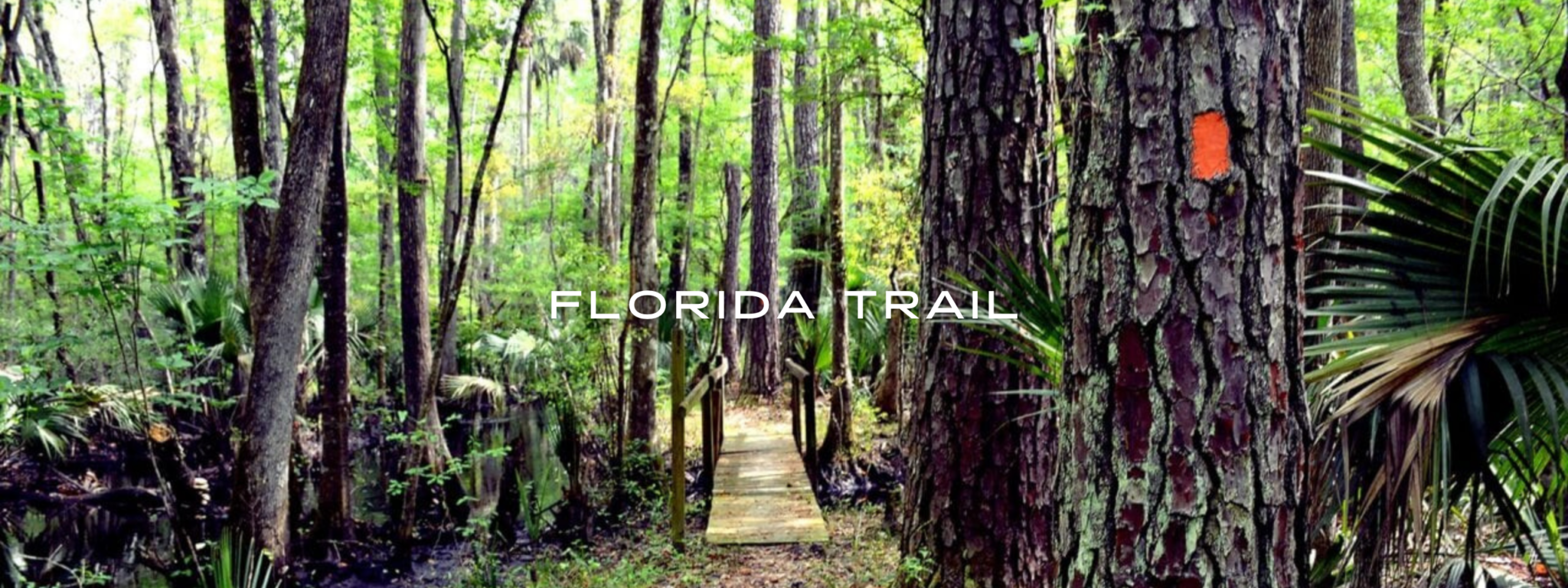
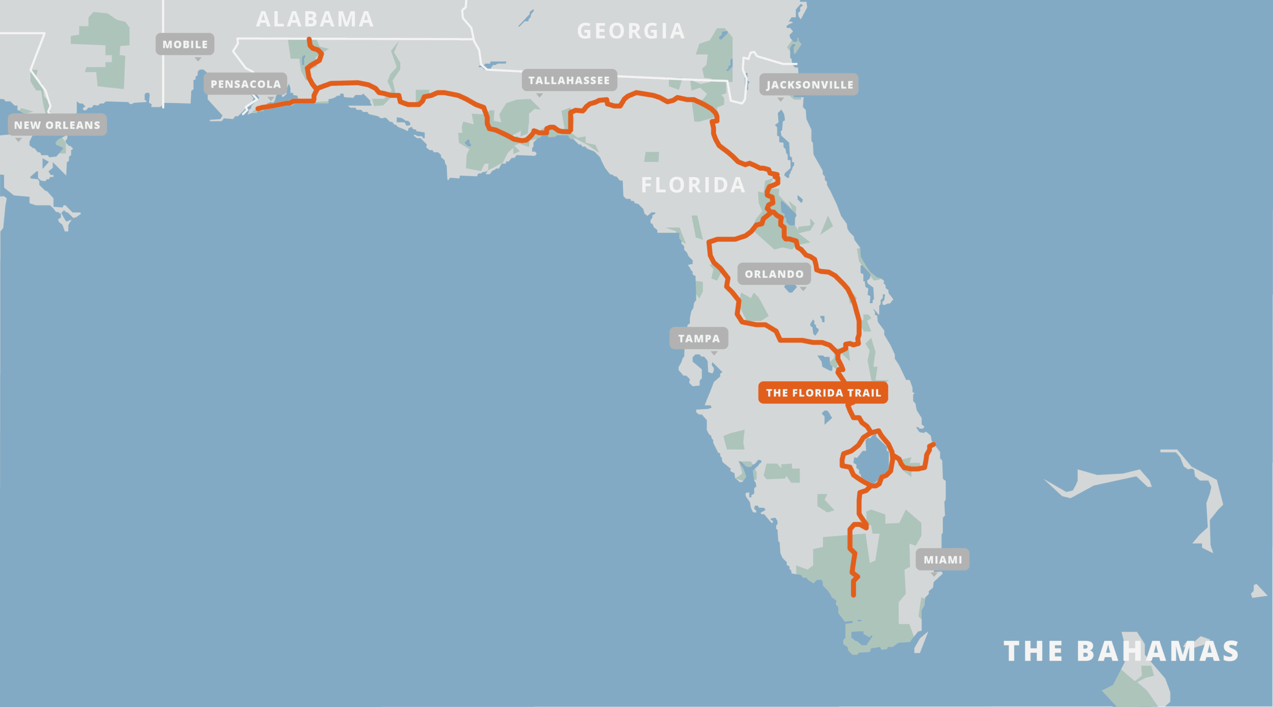
Florida Trail
Official Companion App to The Florida Trail Hiking Guide by Sandra Friend and John Keatley. Hike the Florida National Scenic Trail from southern sandy beaches to northern rolling hills. Stretching more than 1400 miles (2250 km) across two time zones, the Florida Trail is the southernmost of the National Scenic Trails in the United States. It is a winter destination, best hiked between October and April, with January and February as the prime months for thru-hiking and backpacking. Although there are no mountains, Florida provides challenging hiking with its swampy and sandy terrain, dense vegetation, and humidity. It showcases vast coastlines, open prairies, river valleys, bubbling springs, and a walk along the beaches of the Gulf of Mexico. Botanical wonders are everywhere as the trail winds through habitats from tropical forests with Caribbean trees to hillsides covered in spring mountain laurel.
20% off for our Hiking Season Kick-off SALE! The Florida Trail is now $27.99.
30% off for our Small Business Saturday SALE! The Florida Trail is now $23.99.
Ocala Northeast, Florida Trail
Photo courtesy of Florida Hikes!
4.8 ★★★★★ | 17K+ Reviews
Florida Trail
1400 miles • Florida
Official Companion App to The Florida Trail Hiking Guide by Sandra Friend and John Keatley
Download our guide to access the Florida Trail map, tracks, waypoints, and comments! Hike the Florida National Scenic Trail from southern sandy beaches to northern rolling hills. Stretching more than 1400 miles (2250 km) across two time zones, the Florida Trail is the southernmost of the National Scenic Trails in the United States. It is a winter destination, best hiked between October and April, with January and February as the prime months for thru-hiking and backpacking. Although there are no mountains, Florida provides challenging hiking with its swampy and sandy terrain, dense vegetation, and humidity. It showcases vast coastlines, open prairies, river valleys, bubbling springs, and a walk along the beaches of the Gulf of Mexico. Botanical wonders are everywhere as the trail winds through habitats from tropical forests with Caribbean trees to hillsides covered in spring mountain laurel.
$34.99 full guide 8 sections ($2.99 to $6.99 each)
$34.99 full guide
8 sections ($2.99 to $6.99 each)
Florida Trail Map


How can I get it?
The Florida Trail map is available as an in-app purchase in our Guthook Guides app, a free download from the Apple App Store or the Google Play Store.
Our iOS and Android apps do differ slightly in their appearance. However, the majority of their features remain the same, and they access the same trail guide data.
An official connector to the Florida National Scenic Trail, the Blackwater section takes a blue-blazed branch of the Florida Trail up to the Alabama State Line. It links up with the Alabama Hiking Trail – also part of the greater Eastern Continental Trail – which in turn leads to the Pinhoti Trail and the Appalachian Trail. Traversing Florida’s largest state forest, 190,000 acres of pine flatwoods and clayhills along the scenic Blackwater River and its tributaries, this beautiful section of the trail walks you through Atlantic white cedar swamps and hills topped with longleaf pine forests, pitcher plant bogs, and along the scenic shorelines of the river and its tributaries.
Full Florida Trail in one convenient purchase: a 30% savings over buying the sections separately.
$34.99
At the southern terminus of the Florida Trail, experience America’s answer to the Amazon as you slosh through the middle of the sawgrass savannas and cypress strands of Big Cypress National Preserve. This wild, wet wilderness cradles pockets of rainforest-like beauty amid open prairies and haunting wizened cypress. As the most remote and difficult portion of the Florida Trail, this seasonal section takes some swamp walking savvy. Once on dry land, your feet will take a pounding. More than any other part of Florida, South Florida has been radically reshaped by human activity, the ditching and draining of the Everglades more than a century ago for agriculture. Passing through the sovereign nation of the Big Cypress Seminole Reservation alongside its roads, the trail continues up a series of levees feeding agricultural interests all the way to Lake Okeechobee. As the second largest lake entirely inside the United States, it provides a sense of perspective to your hike, no matter whether you choose to hike east or west around it. The Florida Trail circles it atop a 35-foot-tall dike built before our lifetimes to protect the lake communities from its angry spillover during hurricanes. Overlooking the cradle of sugar cane farming and ranching in South Florida, its views are worth savoring in all directions.
$4.99
One of the more beautiful and difficult backpacking routes in South Florida, the Ocean to Lake Hiking Trail is a surprising introduction to wild spaces that you wouldn’t expect to still exist on this heavily populated coast. Created and maintained by the Loxahatchee Chapter of the Florida Trail Association as a spur trail off the Florida Trail, it is routed through the North Everglades Natural Area, a ribbon of public lands between Lake Okeechobee and Hobe Sound Beach. It touches agricultural lands at its western extent, and an upscale beach community along the Atlantic Ocean, as well as a well-groomed county park near Jupiter. But along the rest of the hike, roaming across vast prairies, climbing giant dunes, and wading through cypress strands, it’s hard to imagine over a million people live in the West Palm Beach metro nearby.
$2.99
Defined by the floodplain of two major rivers – the south-flowing Kissimmee and the north-flowing St. Johns – the Central Florida section crosses the heart of cattle country, traversing public lands where free-range cattle roam. Along the Kissimmee River basin, vast prairies and pastures stretch out for miles beyond the more intimate palm and oak hammocks along the ancient shoreline. This is Florida’s big sky country, where stargazing is ideal, especially in the backcountry of Kissimmee Prairie Preserve State Park and Three Lakes WMA. Crossing a private conservancy and ranch, Forever Florida, the trail meets the dark swamps of Bull Creek WMA atop a legacy of historic railroad causeways. A 30-mile gap in the trail through vast Deseret Ranch is bridged by a roadwalk to Tosohatchee WMA, the region’s most botanically diverse preserve. Zigzagging through a maze of palm hammocks along the St. Johns River basin, the trail makes its way to the bluffs of the scenic Econlockhatchee River before it hits a wall of suburbia in the Orlando metro. Here, hikers follow the only protected corridor of public land, along the paved Cross Seminole Trail and Seminole Wekiva Trail, past well-established suburbs and brand-new urban development. Reaching the Wekiva River, it’s time to take to the woods again, here in bear country. It’s an enjoyable immersion in pine flatwoods, scrub, and hardwood forests along a sweep of public lands connecting to the Ocala National Forest.
$6.99
With its oldest segments built throughout Withlacoochee State Forest in the 1970s, the Western Corridor of the Florida Trail is one of two options for circling around the Orlando metro area. For a thru-hiker, connecting northbound to it takes a significant investment in walking along bike paths, sidewalks, and road shoulders for nearly 70 miles. For day hikers and backpackers, there is plenty to explore without ever setting foot on pavement. Loop hikes abound in the Green Swamp, Richloam, Croom, and Citrus sections, including Florida’s longest backpacking loop on a single piece of public land, 39 miles on the rugged Citrus Hiking Trail. The Florida Trail roughly follows the northerly flow of the Withlacoochee River, which rises from the Green Swamp, on its journey towards the Gulf of Mexico. Whenever it parts ways with the river, the land is rolling hills, high and dry and topped with pines.
In the riverside community of Dunnellon, the trail leaves the Withlacoochee’s side for the final time. It makes a diagonal across the Ocala Ridge along a mile-wide swath of forests and fields called the Marjorie Harris Carr Cross Florida Greenway, a permanently protected landscape that was once slated to be a cross-Florida canal. Reaching the swamp forests of the St. Johns River basin at Marshall Swamp, it parallels the Ocklawaha River northward for a stretch into the western side of the Ocala National Forest. A final segment of footpath bridges swamp forests with scrub forests as the Florida Trail leads hikers to the east-west junction at the top of the loop around Central Florida, not far from The 88 Store, a popular backwoods watering hole.
$6.99
The oldest section of the Florida Trail, this sweep of trail between the Ocala National Forest and the Osceola National Forest was the first to be completed and the first to be traversed by backpackers in the 1970s. It began in October 1966, when the initial blazes were painted near Clearwater Lake, an act commemorated by a state historic marker at the south end of this section. The Ocala National Forest protects the world’s largest contiguous sand pine scrub forest, which remains high and dry when other portions of the Florida Trail are soggy. Offering 72 unbroken miles of well-worn footpath through sandhills, prairies, pine flatwoods, and the Big Scrub, the Ocala is a compelling backpacking destination.
As the Florida Trail curves its way north and west from the Ocala National Forest, it touches on centuries of Florida’s history, from the British colonial period atop the dikes at Rice Creek to the boom of Civil War cannons through the pine forests at Olustee. Connecting an array of public lands with walks on backroads and a stroll down a former rail line, now the Palatka-Lake Butler Trail, it’s an introduction to a different pace of life. Some of the trail’s day hike gems are found here, including the loop around an ancient floodplain forest at Rice Creek Conservation Area; the bluffs above Etoniah Ravine, which drop more than 40 feet to the creek in Etoniah Creek State Forest; and the rolling sandhills that cradle crystal-clear lakes at Gold Head Branch State Park and Camp Blanding. In Osceola National Forest, it’s always on the soggy side, but the bogs are rich with colorful wildflowers.
$6.99
Containing three of the Florida Trail’s most scenic destinations – the Suwannee River, Aucilla Sinks, and St. Marks National Wildlife Refuge – this region sweeps west from Lake City to south of Tallahassee. Hugging the rugged bluffs of the Suwannee River, the first half of this section is a delightful mix of challenging terrain with river views and outstanding geological wonders: deep sinkholes, hundreds of springs, stretches of rapids, and several serious-sized waterfalls. When water levels are low, it’s possible to camp on the river’s white sand beaches. A big gap lies between beauty spots with the loss of a long-standing route through private timberlands; thru-hikers must follow a 48.4 mile roadwalk to connect the Suwannee and Aucilla Rivers.
Like the Suwannee, the Aucilla River has high rocky bluffs topped with dense forests, and even a stretch of showy rapids. However, this river vanishes underground, and the trail traces its route along the surface around jagged rocky sinkholes, crossing numerous natural bridges. At St. Marks National Wildlife Refuge, the Florida Trail reaches Florida’s coastline. In the Big Bend, beaches are rare; marshes stretch as far as the eye can see out to the Gulf of Mexico. Traversing coastal forests and levees for more than 40 miles, the trail offers the rare opportunity to backpack across a National Wildlife Refuge with designated camping and a river that must be crossed by hailing a boat.
$6.99
In the Apalachicola National Forest, the Florida Trail traverses some of the wettest, wildest swamp forests in Florida, including the legendary Bradwell Bay. Known for its botanical beauty, particularly for its pitcher plant bogs and terrestrial orchids, the Apalachicola is often soggy underfoot, alternating between pine flatwoods, sandhills, and swamps, with the Sopchoppy River bluffs a dry counterpoint of unusual geology. Until the late 1970s, when the first thru-hikers decided to push it farther, the Florida Trail ended at Camel Lake.
As it heads west into the Central Time Zone, the trail is a patchwork of beauty spots sewn together with rural roadwalk connectors. Among the shorter stretches are the paved Blountstown Greenway, which walks right through railroad history in this river community, and the Altha Trail, leading to the Look & Tremble Rapids of the Chipola River. North of Panama City Beach along one of our favorite overnighters, Econfina Creek, the Florida Trail begins to take on a different tone, with steep climbs, high bluffs, sidehill, and colorful springs. In Pine Log State Forest, it hugs close to creek drainages and cypress-lined lakes along the Choctawhatchee River basin. On the west side of this mighty river, a conservation easement through Nokuse Plantation leads hikers into stands of tall longleaf pine, deeply carved ravines, and haunting gum swamps along a footpath stretching 28 miles.
$6.99
Standing in the middle of an ancient magnolia-beech forest, you wonder how it survived the passage of time. Thank Theodore Roosevelt, who in 1909 created Choctawhatchee National Forest. While the national forest evaporated with the onset of World War II, the forests that weren’t of commercial use were spared in the conversion to Eglin Air Force Base. The Florida Trail traverses deeply folded terrain as it stays close to the northern edge of this military reservation’s borders, providing one of the most challenging and satisfying sections of the trail for backpackers, including the trail’s steepest climbs and highest elevations.
On the western side of Crestview, the Yellow River Ravines offer a rugged trek through steepheads and bayheads on the north side of this wild river. One final section inside Eglin Air Force Base meanders through sandhills and steepheads around Weaver Creek to East Bay. Following sidewalks and a causeway to Santa Rosa Island, the Seashore section – the final 30 miles of the Florida Trail, or your starting miles if headed southbound – offer salt breezes, sunshine, and a walk on the beaches of Gulf Islands National Seashore, with one designated opportunity to camp in the dunes before trail’s end at Fort Pickens, the northern terminus.
$6.99
Photos of the Florida Trail
Hike more.
Check out some of the other trail guides we offer!
About our partner
Florida Hikes!
Florida Hikes is a collaboration of Sandra Friend and John Keatley. Sandra and John are Florida authors who love to enjoy the outdoors as a couple. They offer extensive resources and guides for those looking for places to hike, bike, camp, and paddle.
Atlas Guides has partnered with Florida Hikes to create The Florida Trail Guide, and we work together continually to keep the app up to date and relevant.
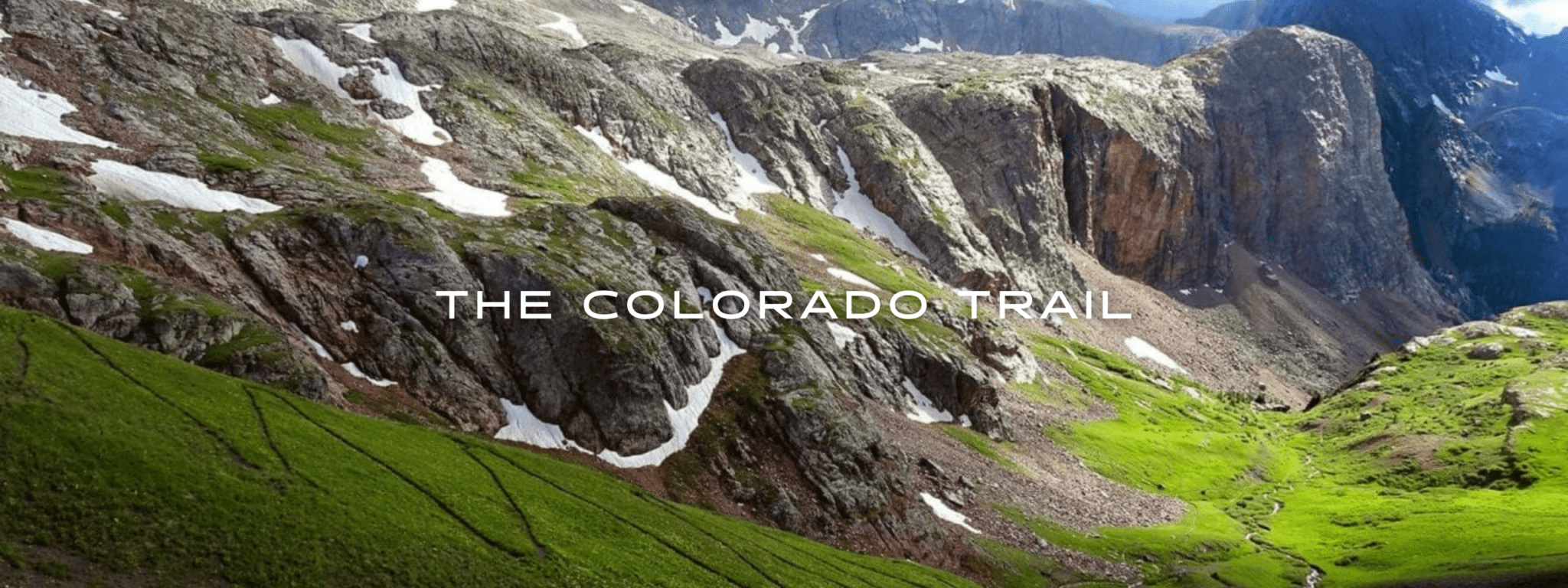
Colorado Trail
Official app of The Colorado Trail Foundation. The Colorado Trail is a challenging and rewarding hike of 485 miles (780 km) that stretches from Denver to Durango, passing through six National Forests and six wilderness areas on its way. Thru-hikers will traverse eight mountain ranges, including the Colorado Rocky Mountains, and climb to over 13000 feet (3900 meters) during their journey. The trail is also perfect for day-hikers and mountain bikers. Our data for The Colorado Trail guide was collected in partnership with Bear Creek Survey Service, LLC. For more information about their work, visit their website at bearcreeksurvey.com! Rocky Mountains.
20% off for our Hiking Season Kick-off SALE! The Colorado Trail is now $15.99.
30% off for our Small Business Saturday SALE! The Colorado Trail is now $13.99.
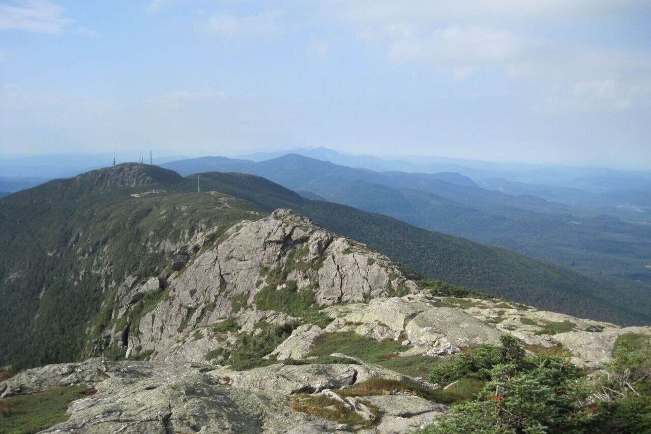
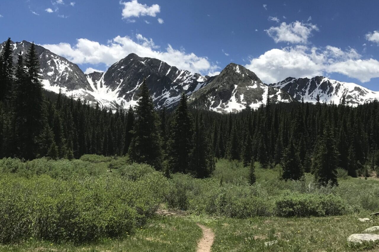
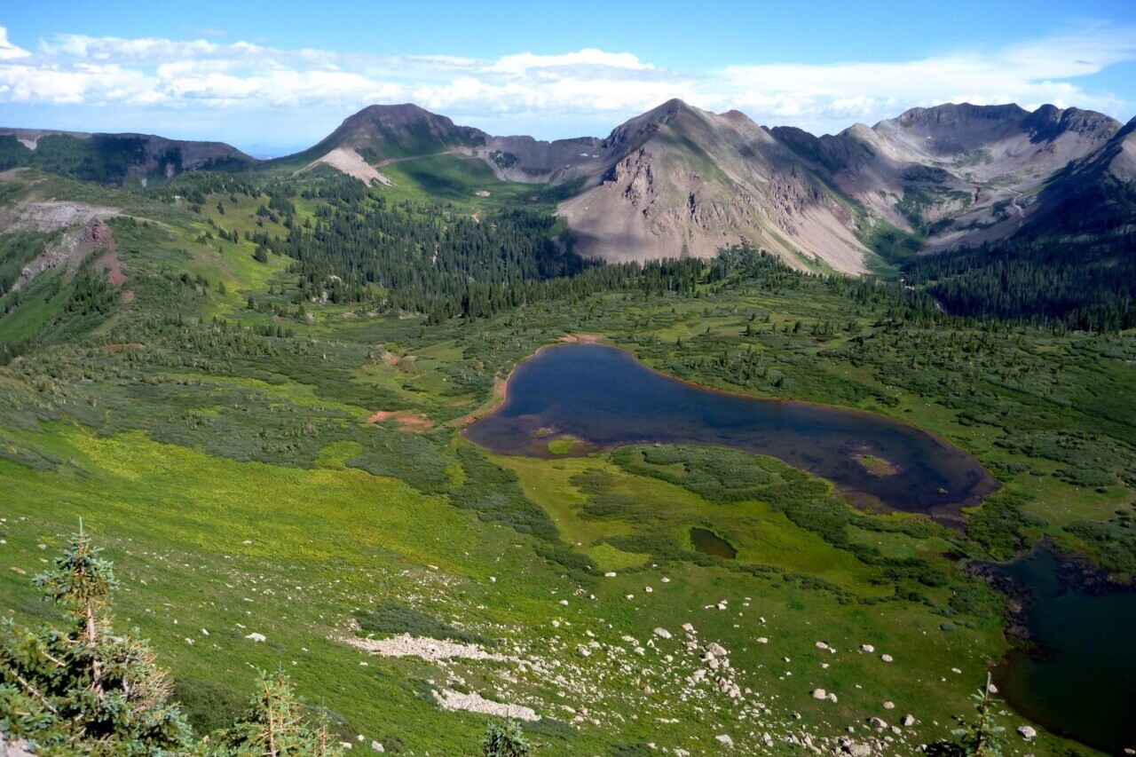
Weiminuche Wilderness, The Colorado Trail
Photo courtesy of The Colorado Trail Foundation
4.8 ★★★★★ | 17K+ Reviews
Weiminuche Wilderness, The Colorado Trail
Photo courtesy of The Colorado Trail Foundation
4.8 ★★★★★ | 17K+ Reviews
4.8 ★★★★★ | 17K+ Reviews
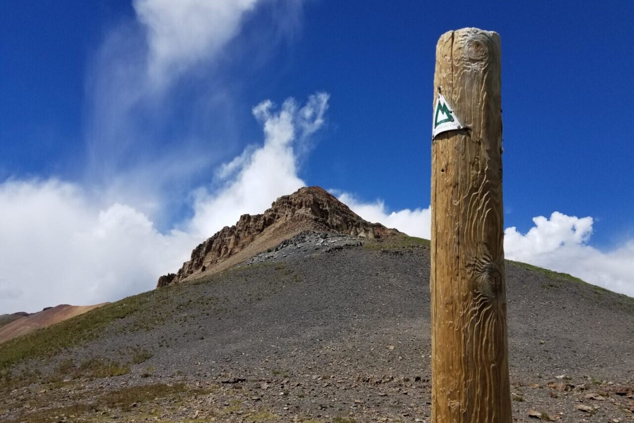
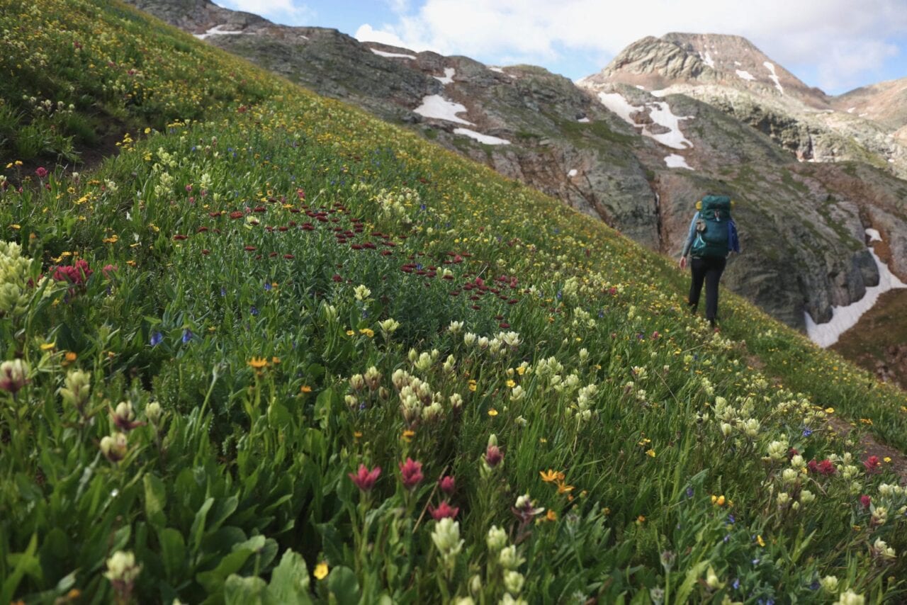
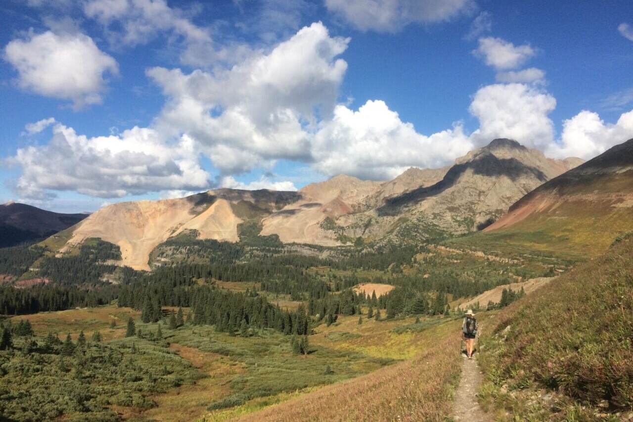
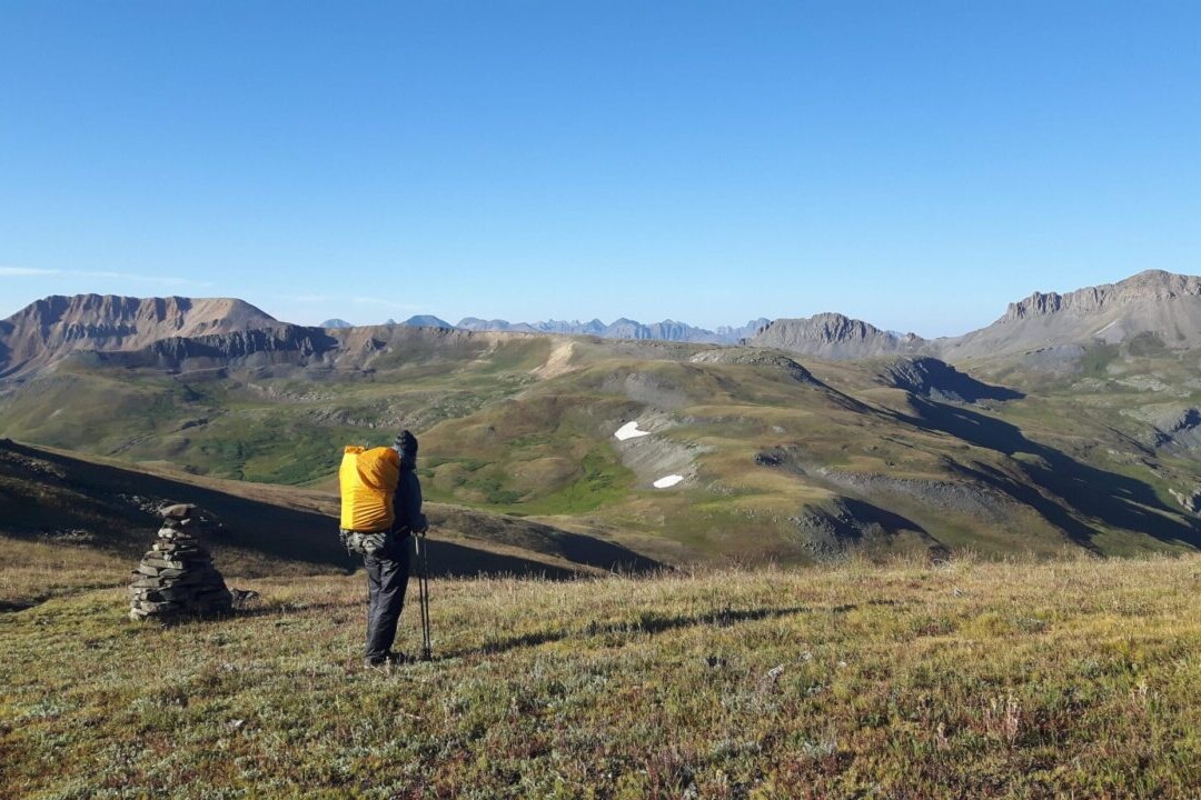
The Colorado Trail
485 miles • Colorado
Official App of The Colorado Trail Foundation
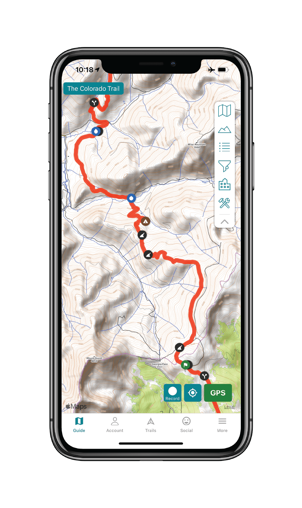
Download our guide to access the Colorado Trail map, tracks, waypoints, and comments! The Colorado Trail is a challenging and rewarding hike of 485 miles (780 km) that stretches from Denver to Durango, passing through six National Forests and six wilderness areas on its way. Thru-hikers will traverse eight mountain ranges, including the Colorado Rocky Mountains, and climb to over 13000 feet (3900 meters) during their journey. The trail is also perfect for day-hikers and mountain bikers. Our data for The Colorado Trail guide was collected in partnership with Bear Creek Survey Service, LLC. For more information about their work, visit their website at bearcreeksurvey.com!
485 miles (780 km) $19.99 full guide or TRY OUR FREE DEMO
485 mi (780 km)
$19.99 full guide
Official App
The Colorado Trail Map


How can I get it?
The Colorado Trail map is available as an in-app purchase in our Guthook Guides app, a free download from the Apple App Store or the Google Play Store.
Our iOS and Android apps do differ slightly in their appearance. However, the majority of their features remain the same, and they access the same trail guide data.
Segment 1 of The Colorado Trail, 16.8 miles.
Purchase of The Colorado Trail includes: (1) The Colorado Trail hiking route (485 miles), (2) the Collegiate Loop (161 miles), (3) the Collegiate West Alternate (83 miles), and (4) The Colorado Trail biking route (540 miles).
$19.99
The Collegiate Loop is a 161-mile loop trail composed of the 83-mile Collegiate West Alternate and a 78-mile portion of The Colorado Trail from Twin Lakes (Segment K) to its intersection with the Continental Divide Trail/Collegiate West Alternate about 9 trail-miles south of Highway 50 (Segment O).
Included with purchase of The Colorado Trail. Doo not purchase separately if you intend to purchase The Colorado Trail!
$4.99 individually
Cheers to giving back! Part of your purchase of The Colorado Trail goes to support The Colorado Trail Foundation’s work to preserve and maintain the hiking trail and bike route. Learn about The Colorado Trail Foundation.
Stories from the Colorado Trail!
Check out our most recent blog posts about the Colorado Trail.
Nothing found.
Nothing found.
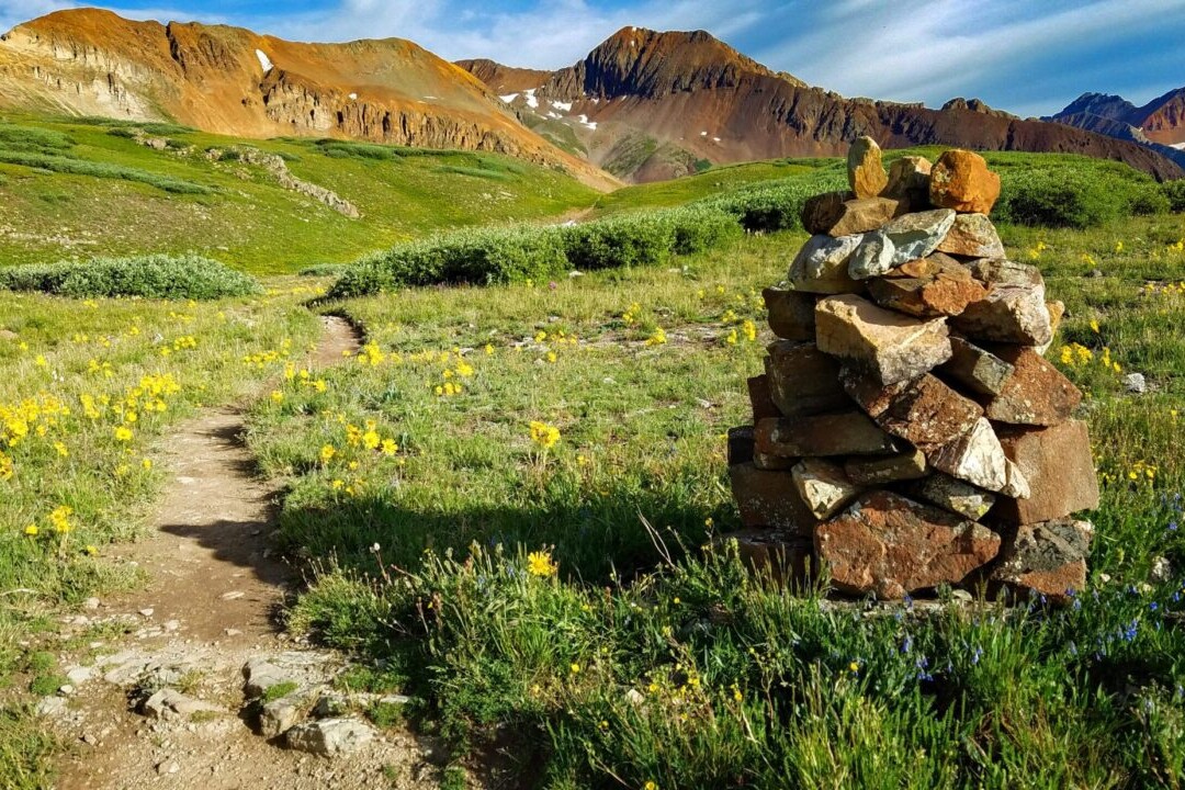
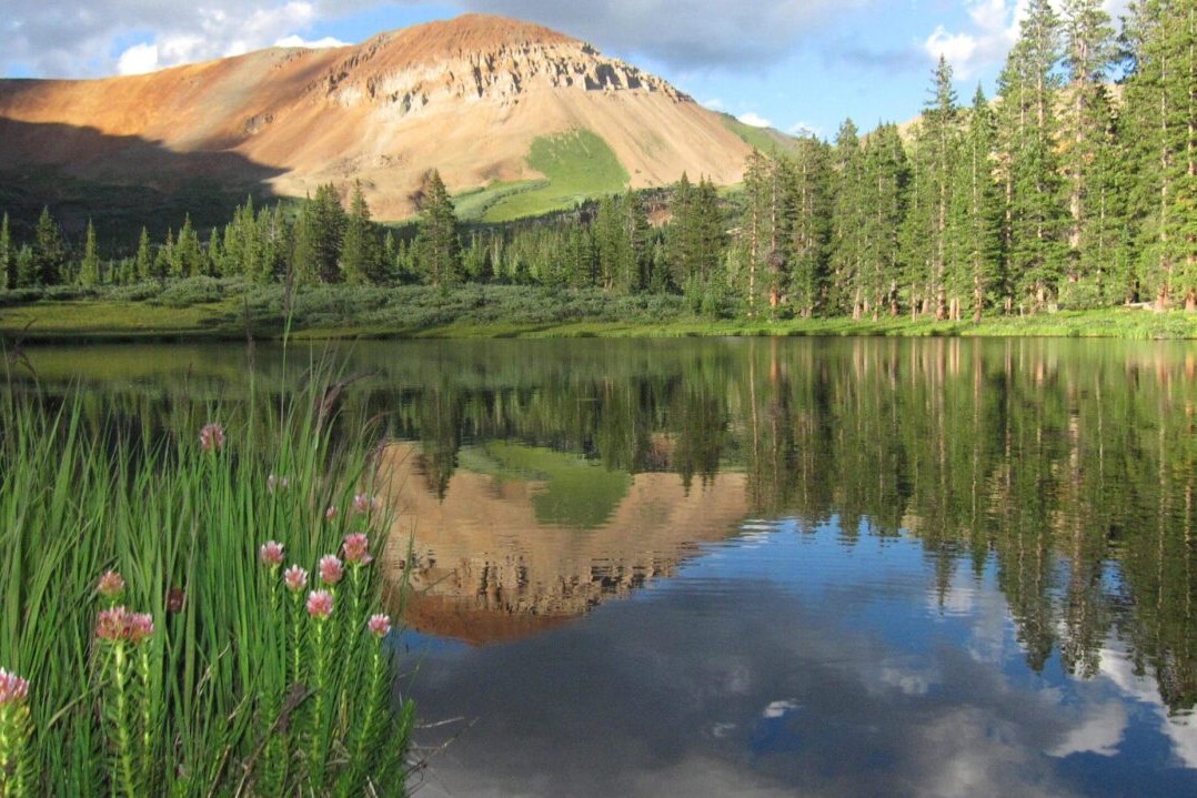
Photos of The Colorado Trail
Hike more.
Check out some of the other trail guides we offer!
About our partner
The Colorado Trail Foundation
The Colorado Trail Foundation is a 501(c)(3) nonprofit organization that works to keep The Colorado Trail in good condition. The CTF organizes the volunteers who built The Colorado Trail, as well as those who continue to improve and maintain it.
The Colorado Trail Foundation works with Atlas Guides to create, improve, and update the official Colorado Trail hiking app.

Camino de Santiago
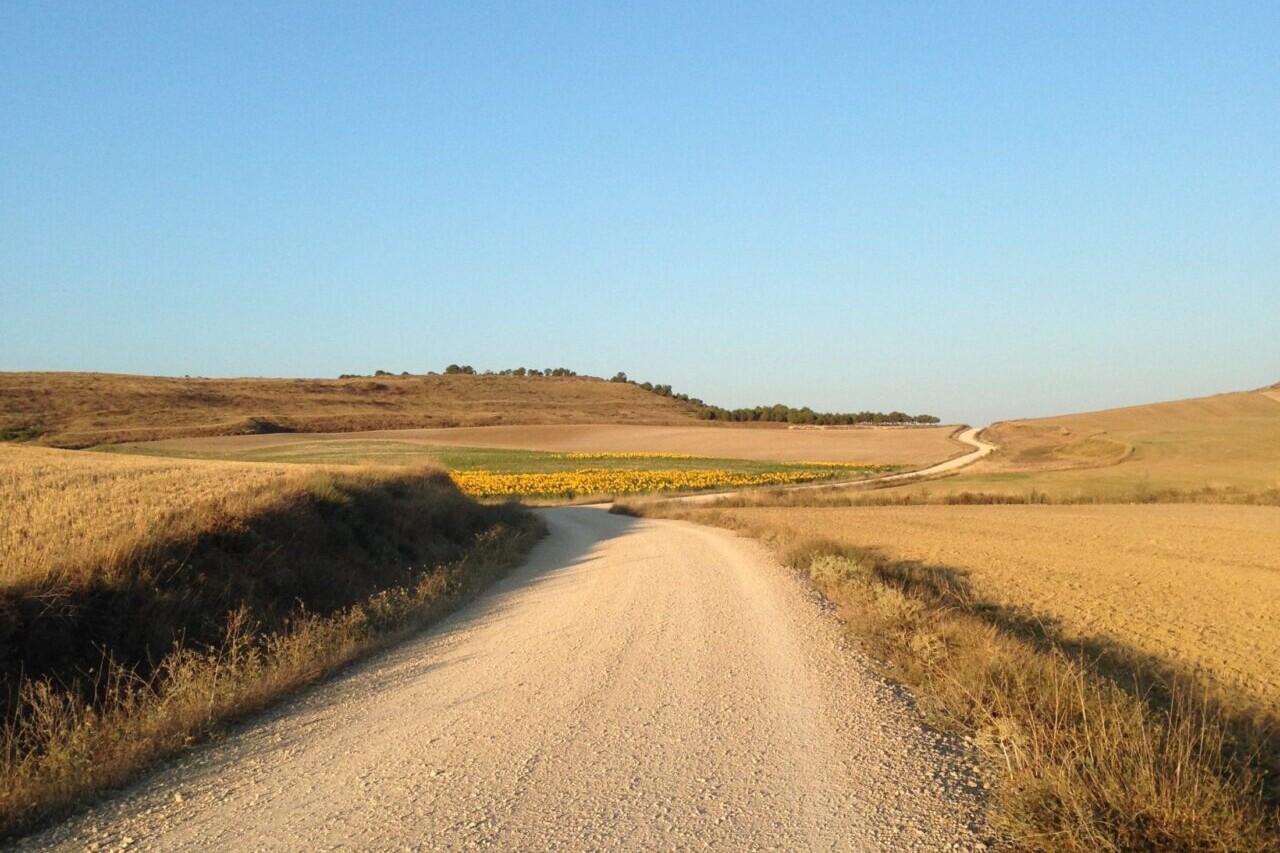
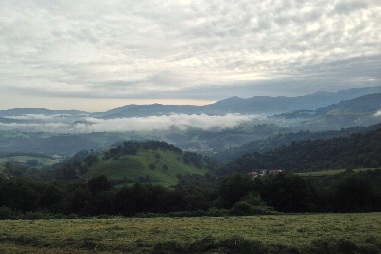
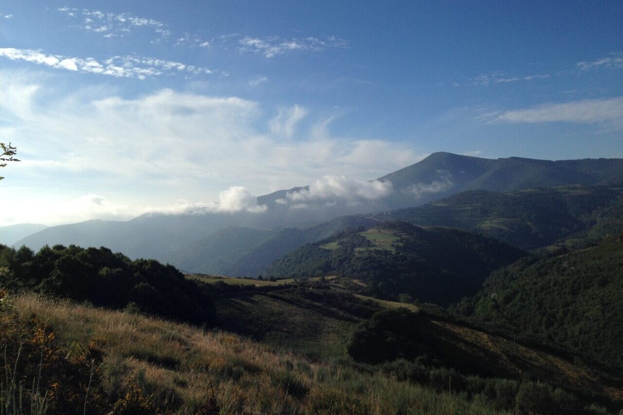
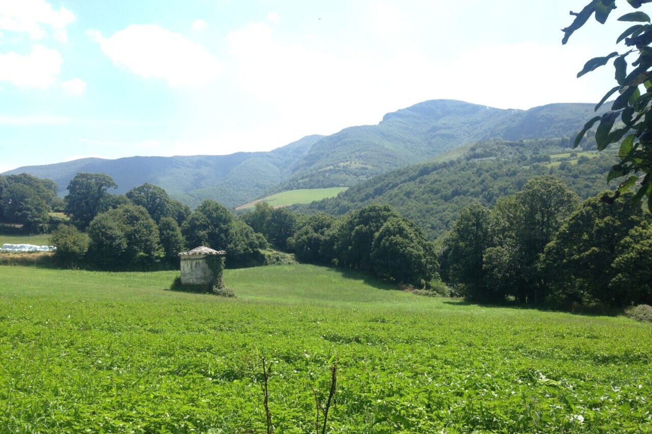
The Camino de Santiago is a network of ancient and historic pilgrimage walking routes that lead to the cathedral of Santiago de Compostela in Spain. The Camino Francés is the most famous of the Camino routes, and has been walked by millions of pilgrims over 1200 years. At its longest, it stretches over 750 km (460 mi) from St. Jean Pied de Port, France, to Santiago de Compostela. It is a walk full of history, culture, and spectacular countrysides. Europe.
Recently updated! New accommodation listings are now available for our Camino de Santiago guide.
20% off for our Hiking Season Kick-off SALE! The Camino Francés is now $5.99.
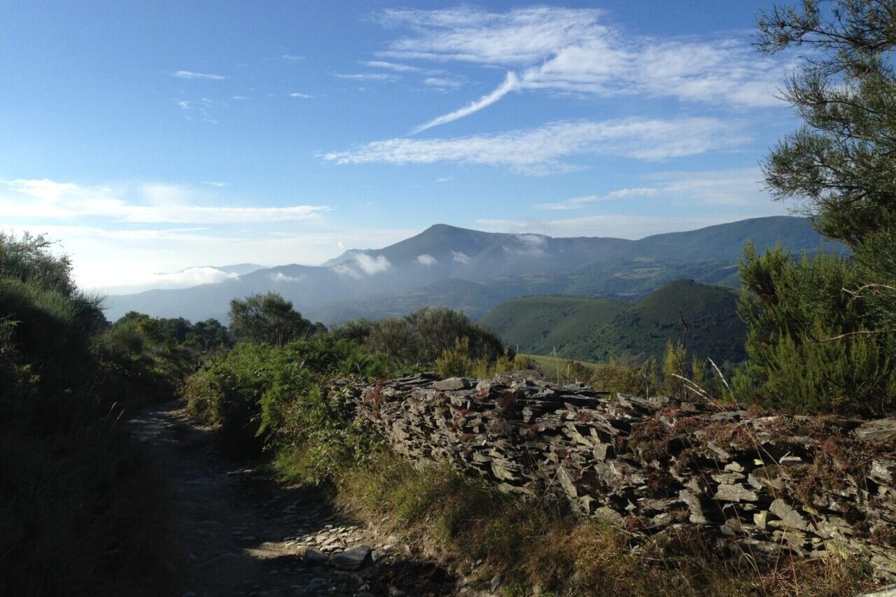
Iglesia de San Juan, Hospital de la Condesa, Camino Francés, Spain
Photo by Keith Foskett
4.8 ★★★★★ | 17K+ Reviews
Camino Frances, France & Spain
Download our guide to access the Camino France & Spain map, tracks, waypoints, and comments! The Camino de Santiago is a network of ancient and historic pilgrimage walking routes that lead to the cathedral of Santiago de Compostela in Spain. The Camino Francés is the most famous of the Camino routes, and has been walked by millions of pilgrims over 1200 years. At its longest, it stretches over 750 km (460 mi) from St. Jean Pied de Port, France, to Santiago de Compostela. It is a walk full of history, culture, and spectacular countrysides.
750 km (460 mi) $7.99 Camino Francés
750 km (460 mi)
$7.99 Camino Francés
Camino de Santiago Map


How can I get it?
The Camino de Santiago map is available as an in-app purchase in our Guthook Guides app, a free download from the Apple App Store or the Google Play Store.
Our iOS and Android apps do differ slightly in their appearance. However, the majority of their features remain the same, and they access the same trail guide data.
The first 68 km/42 miles of the Camino Frances, from Saint-Jean-Pied-de-Port, France to Pamplona, Spain.
This selection is the entire Camino Frances: from Saint-Jean-Pied-de-Port, France to Santiago de Compostela. It also includes the Camino Finisterre from Santiago de Compostela to the Atlantic Ocean at Muxia. There are more than 1300 waypoints, including 500 albergues/pensions/hostels, and dozens of alternate routes. Take a look at the demo section from Saint-Jean-Pied-de-Port to Pamplona for a full-featured preview.
$7.99
This selection is the popular 100 km portion of the Camino Frances from Sarria to Santiago de Compostela.
$4.99
This free, full-featured demonstration includes the first 68 km/42 miles of the Camino Frances, from Saint-Jean-Pied-de-Port, France to Pamplona, Spain.
FREE DEMO
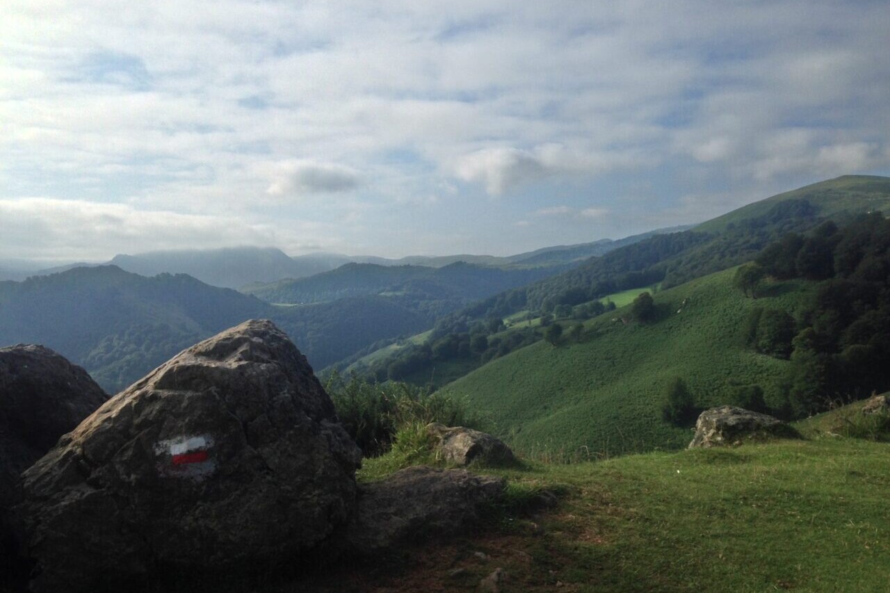
The Camino del Norte, or The Northern Way, is the northernmost of the Spanish Camino routes, taking pilgrims through the beautiful green countryside of Northern Spain. Though it is less well known, it is said to be one of the oldest Camino routes. The route travels through Basque country—Cantabria, Asturias, and Galicia—to eventually join with the Camino Frances in the city of Arzúa and continue the rest of the way to Santiago de Compostela. This Camino is a coastal route, offering breathtaking views of the Atlantic Ocean from rocky cliffs and sandy beaches. Lush green landscapes from coast to mountain await pilgrims on this route, and the delicious coastal cuisines of the region will have you stopping in to every rural restaurant to sample the local flavors.
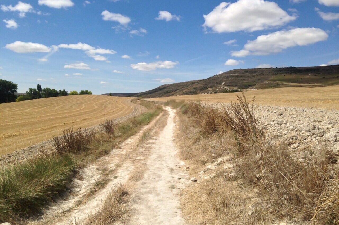
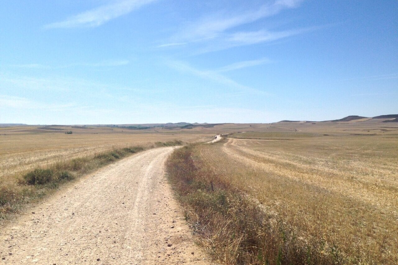
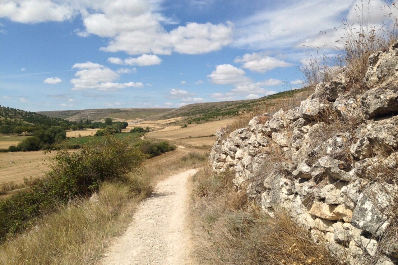
Photos of the Camino de Santiago


Hike more.
Check out some of the other trail guides we offer!
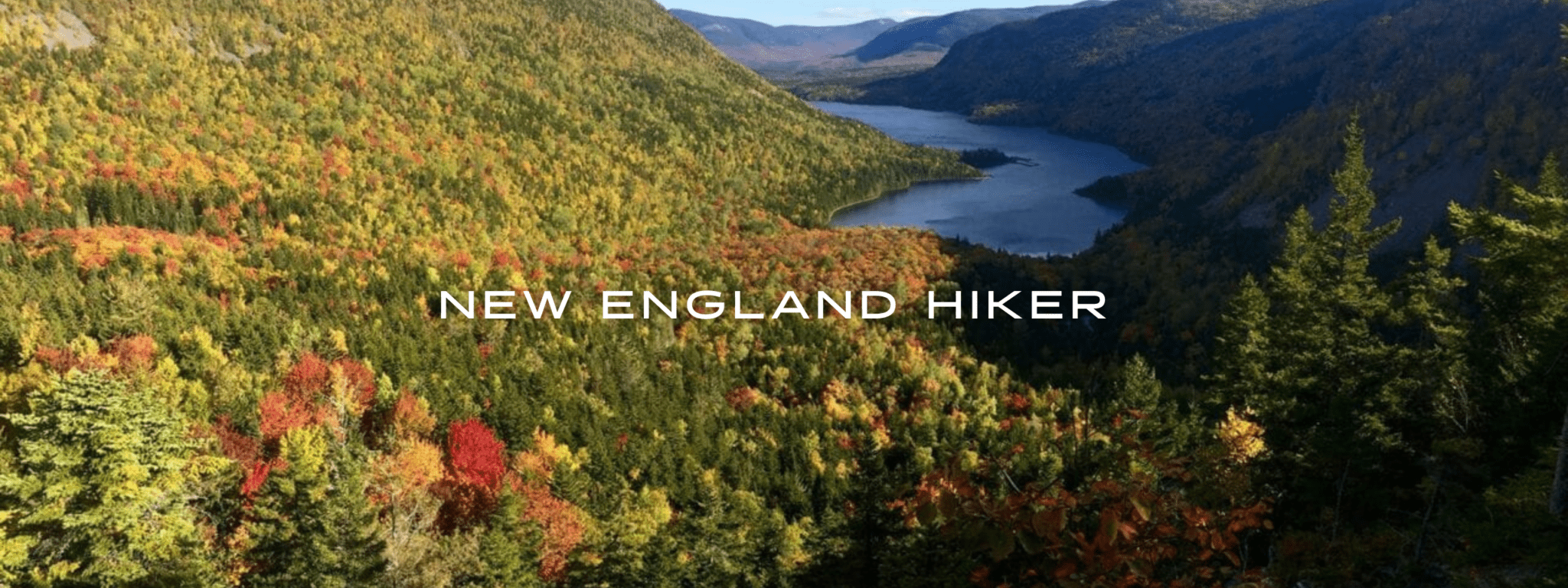
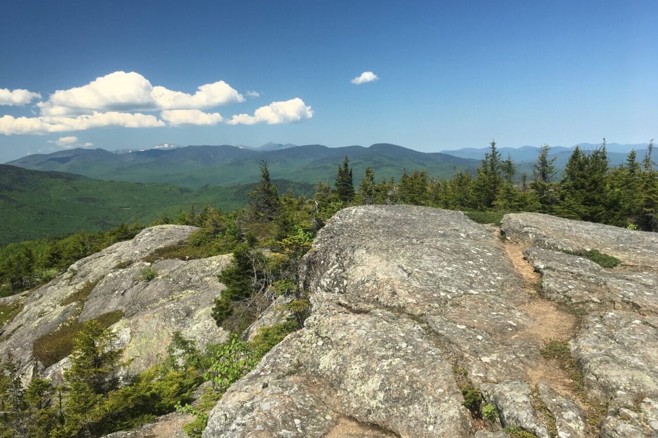
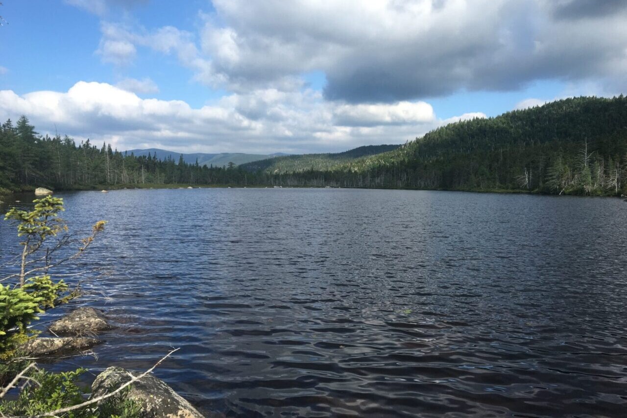
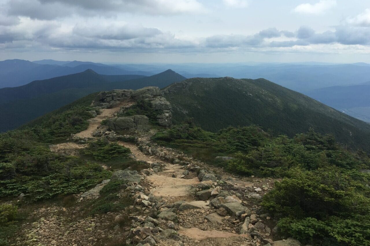
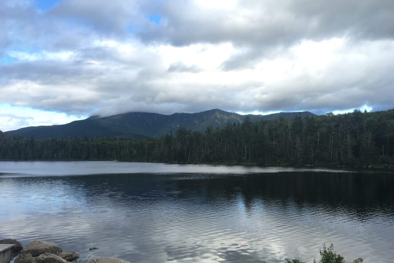
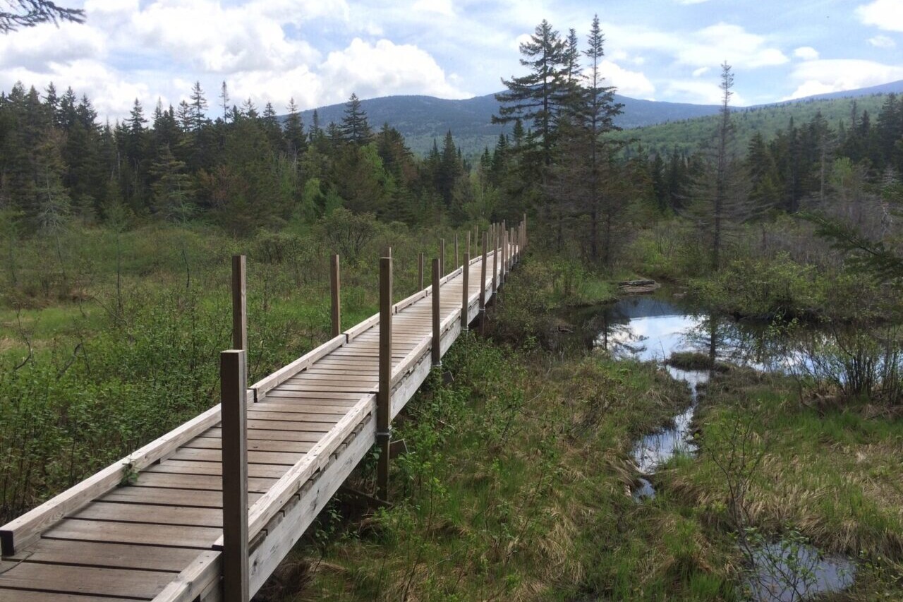
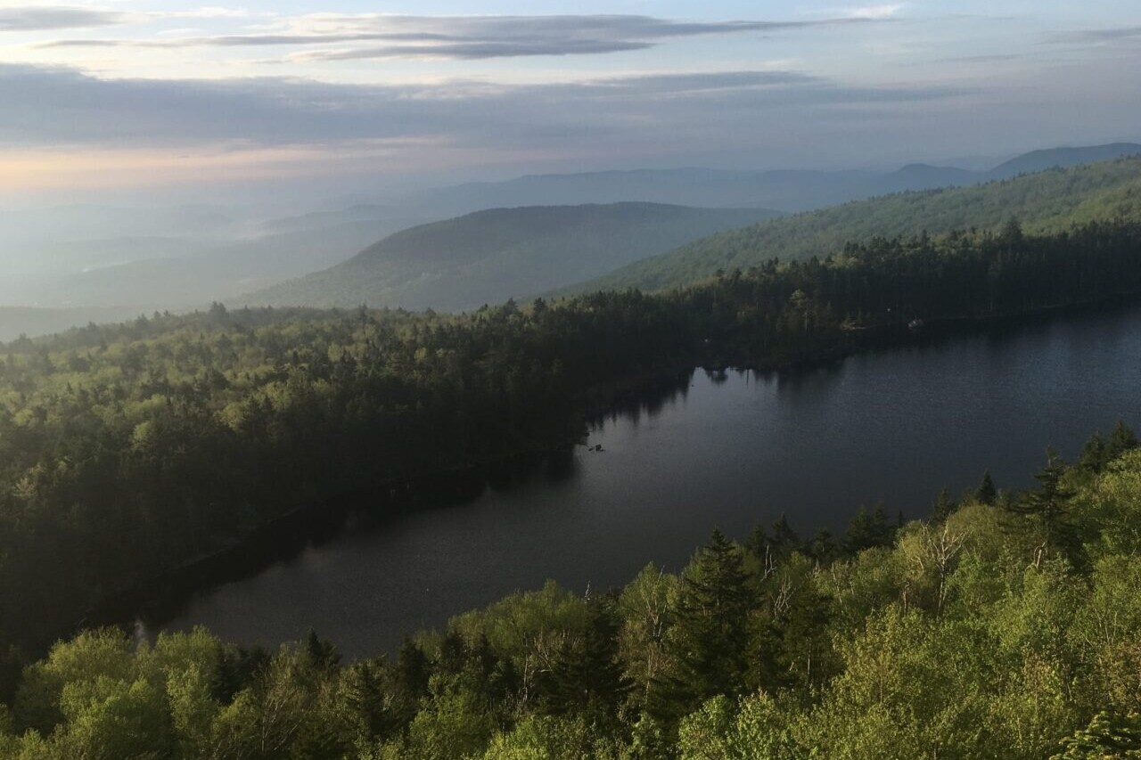
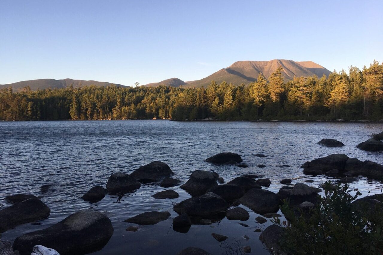
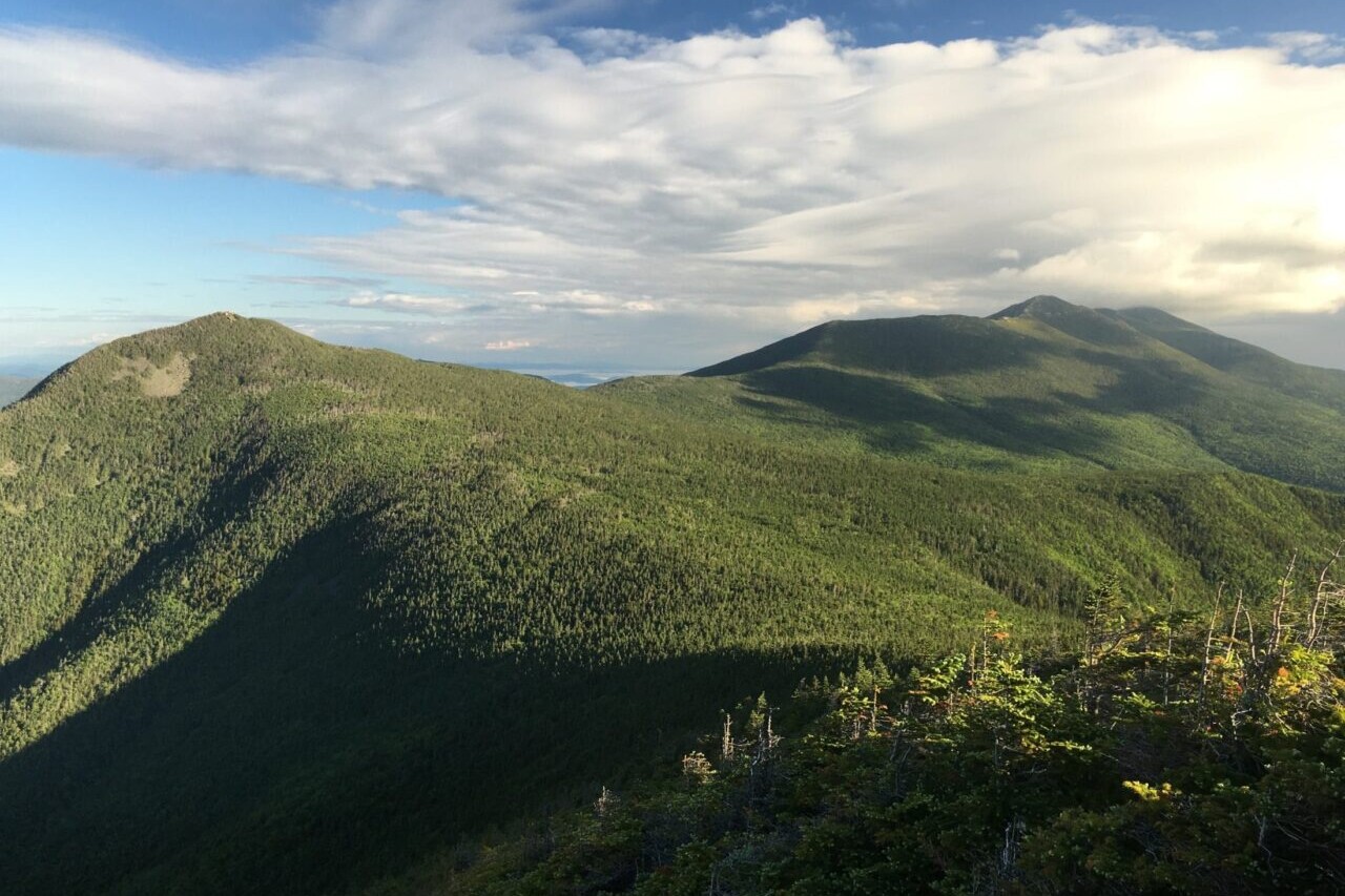
New England Hiker
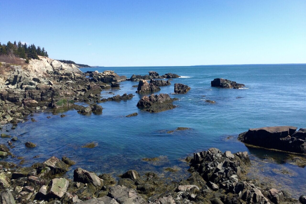
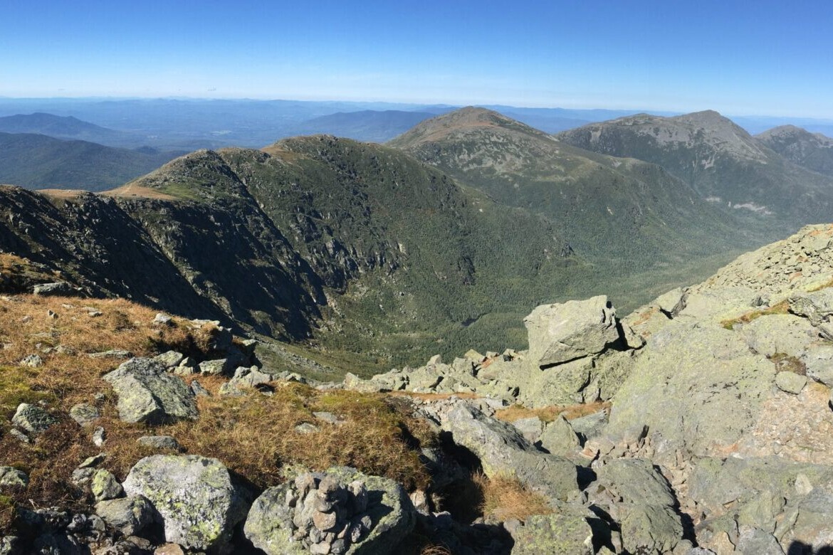
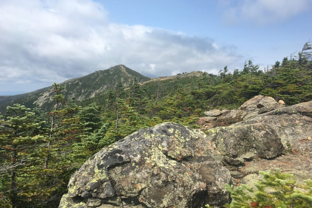
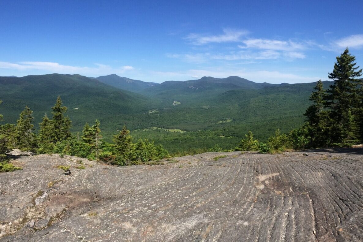
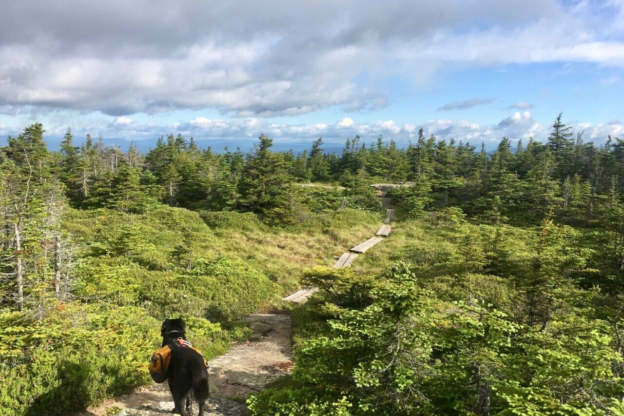
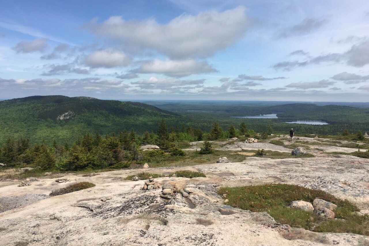
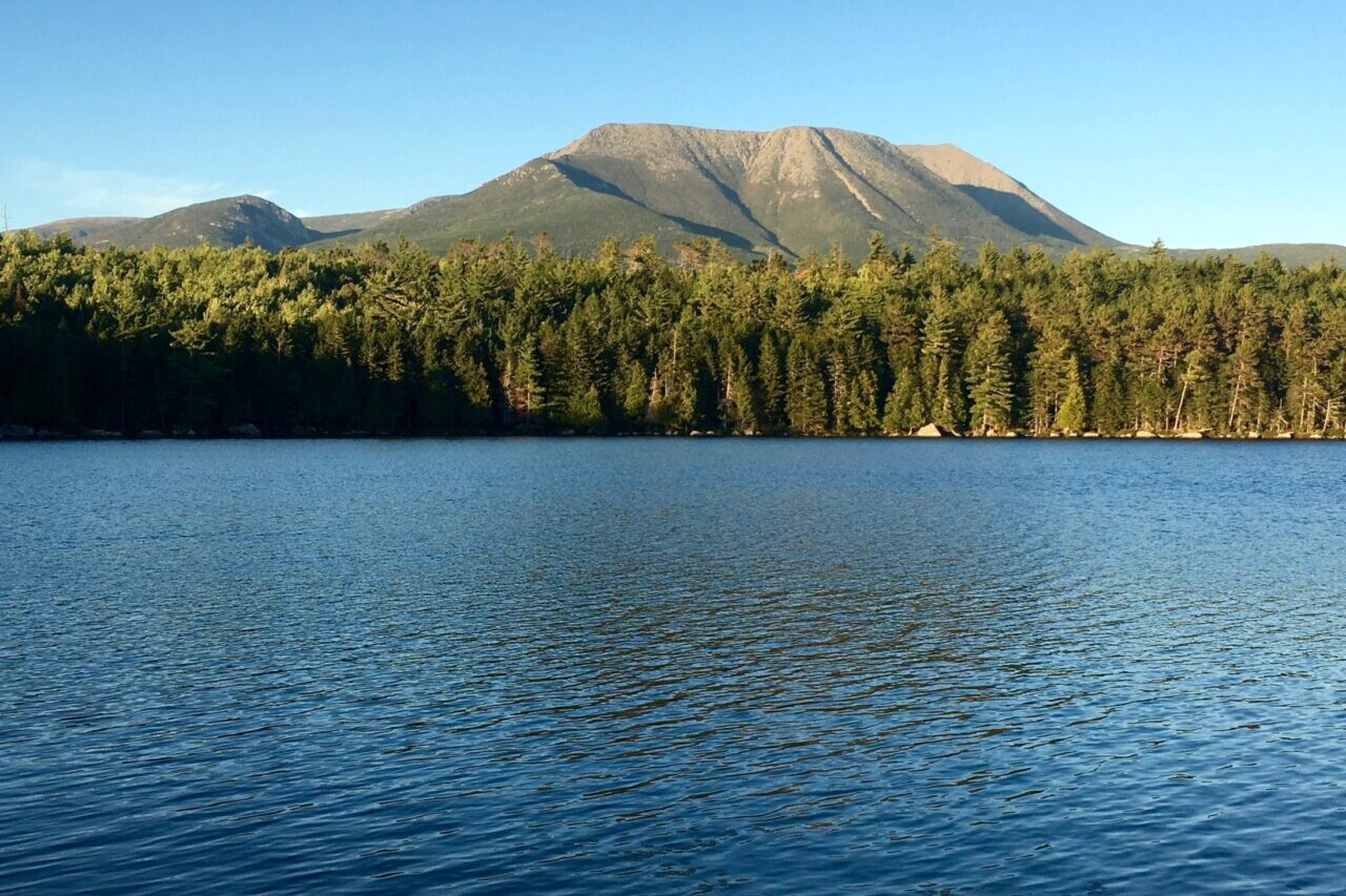
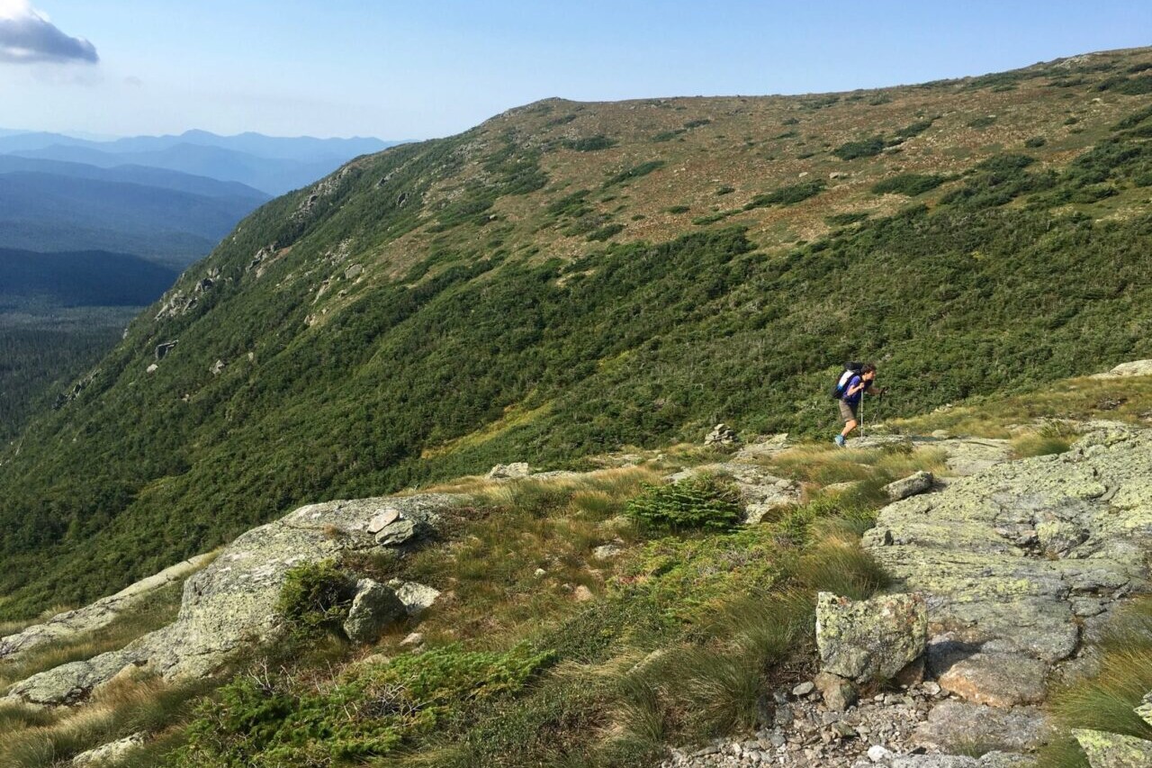
Ancient mountain ranges, deep forests, and thousands of miles of hiking trails await you when you hike in New England. Our hiking guides include Maine’s Baxter State Park, Public Reserved Lands, and Acadia National Park. Mighty peaks in Maine, such as Katahdin and the Bigelows, offer up dramatic views atop rugged climbs, while the coastal hills can be just as wild and beautiful. In our White Mountain National Forest hiking guides, you will find New Hampshire’s 48 Four-Thousand Footers, over a thousand miles of hiking trails, and endless possibilities for hiking adventures. The variety of New England trails in many more scenic destinations are perfect for thru-hiking, section-hiking, day-hiking, or backpacking. Maine, Vermont, New Hampshire, Maine.
20% off for our Hiking Season Kick-off SALE! The Maine Hiking Bundle and the White Mountain National Forest Bundle are now $23.99.
30% off for our Small Business Saturday SALE! The Maine Hiking Bundle and the White Mountain National Forest Bundle are now $20.99.
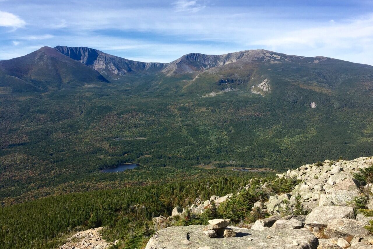
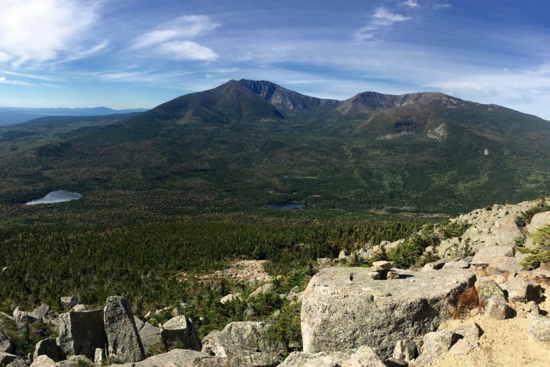
Baxter State Park, Maine
Photo by Ryan Linn
4.8 ★★★★★ | 17K+ Reviews
New England Hiker
Maine, New Hampshire & Vermont
Download our guide to access the New England Hiker maps, tracks, waypoints, and comments! Ancient mountain ranges, deep forests, and thousands of miles of hiking trails await you when you hike in New England. Our hiking guides include Maine’s Baxter State Park, Public Reserved Lands, and Acadia National Park. Mighty peaks in Maine, such as Katahdin and the Bigelows, offer up dramatic views atop rugged climbs, while the coastal hills can be just as wild and beautiful. In our White Mountain National Forest hiking guides, you will find New Hampshire's 48 Four-Thousand Footers, over a thousand miles of hiking trails, and endless possibilities for hiking adventures. The variety of New England trails in many more scenic destinations are perfect for thru-hiking, section-hiking, day-hiking, or backpacking.
29 sections ($0 to $9.99 each)
29 sections ($0 to $9.99 each)
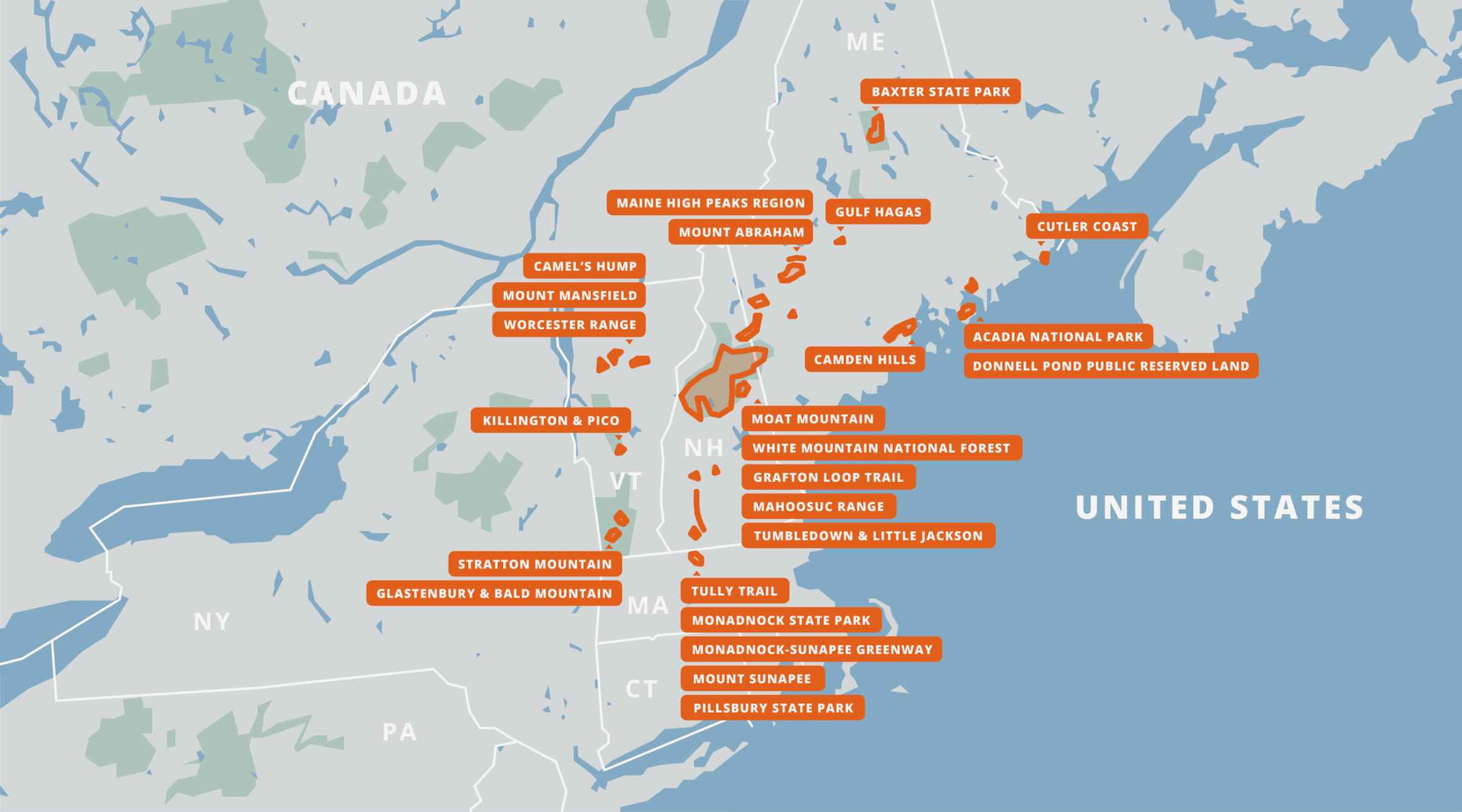
New England Hiking Trails Map

How can I get it?
The New England hiking maps are available as an in-app purchase in our Guthook Guides app, a free download from the Apple App Store or the Google Play Store.
Our iOS and Android apps do differ slightly in their appearance. However, the majority of their features remain the same, and they access the same trail guide data.
This bundle includes all of our guides to Maine’s State Parks, Public Reserved Lands, and Acadia National Park: Maine High Peaks Region, Baxter State Park, Grafton Loop Trail, Acadia National Park, Cutler Coast, Camden Hills, and Donnell Pond Public Reserved Land.
With the mountains in the west and north, the rugged coastline, and the rivers and lakes in between, Maine can be a hiker’s paradise if you take a little time to explore. Mighty peaks like Katahdin and the Bigelows offer up dramatic views atop rugged climbs, while the coastal hills can be just as wild and beautiful, a little closer to villages and towns.
$29.99
This bundle includes all of our guide sections for the White Mountain National Forest, home of New Hampshire’s highest peaks: the Caribou-Speckled Region, Kilkenny Range, Moosilauke-Kinsman Region, Pemigewasset Region, Presidential Range, Sandwich Range Region, and Wild River Region.
Mount Washington and the Presidential Range are some of the most rugged and impressive peaks on the east coast, and have been a mecca for outdoor recreation for generations.
In the White Mountains, you will find New Hampshire’s 48 Four-Thousand Footers, over a thousand miles of hiking trails, and endless possibilities for hiking adventures.
$29.99
Acadia National Park is the first National Park east of the Mississippi, Acadia is a paradise for hikers, bikers, and sightseers on the low mountains of Mt Desert Island. This guide includes all hiking trails and carriage roads within the park, plus some trails that stretch outside the park.
$7.99
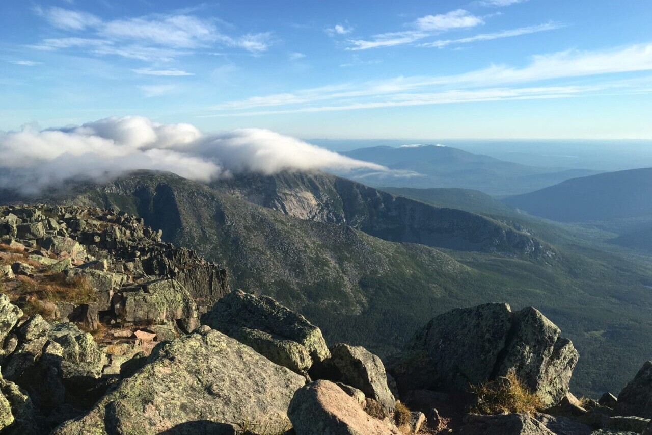
One of the crown jewels of Maine’s outdoors, Baxter State Park is home to the state’s highest peak, Mt Katahdin, as well as several other rugged mountains, dozens of lakes and ponds, several major streams, and some of the deepest wilderness in the state. Most visitors come to either camp in the pristine campgrounds around the park, or to climb Katahdin (which is also the northern terminus of the Appalachian Trail). Whatever your plan, the Park is worth as much time as you can afford to spend there.
NOTE: The trails of the Scientific Forest Management Area, and for the Katahdin Lake area, have not been added to this guide yet. All other trails are available.
ALSO: This app is not affiliated with Baxter State Park in any way. Please visit www.baxterstatepark.org for more details on visiting the Park before you go.
$9.99
The rocky, coastal mountains of the Camden Hills form a beautiful backdrop to the towns of Camden, Rockport, and Lincolnville on Penobscot Bay. The Camden Hills State Park, which encompasses most of the mountainous area, boasts over 30 miles of hiking trails on five prominent peaks, while the George’s Highland Path provides another set of trails on three more mountains. Despite providing extraordinary views over the ocean and several nearby lakes, the crowds on the mountaintops here are much smaller than similar coastal mountains in Acadia National Park, making the Camden Hills one of the highlights of Maine’s State Parks system.
The State Park is also home to a very nice campground, which provides a peaceful and inexpensive alternative to the fine lodging along much of the rest of the Midcoast region.
$2.99
At 4083 feet in elevation, Camel’s Hump is tied with Mt Ellen as the third-highest peak in Vermont, but it is certainly the most remarkable. The peak is the highest in the state without a ski resort, and its distinctive shape makes it easy to identify from Burlington, Montpelier, and many other towns in the northern part of the state. Most importantly for this guide’s purposes, though, the mountain is one of the most rewarding places to hike in the entire state.
The section of The Long Trail that traverses Camel’s Hump and the Monroe Skyline is consistently rated as a highlight of the trail, while the Monroe Trail and Burrows Trail provide shorter day-hike options from the east and west. Three backcountry campsites and a gorgeous forest round out the area as one of the most spectacular mountains in New England.
FREE
One of the highlights of the Maine Public Reserved Lands system, the Cutler Coast Unit is a 12,000 acre coastal forest that includes a 10-mile loop trail and primitive campsites on the rocky ocean shore. Visitors can take a short day hike to the tall cliffs over the Bay of Fundy, or walk several miles along the ledges and coves. The inland part of the loop trail also features blueberry barrens and peat bogs, providing a scenic and tranquil walk through the Downeast coastal forest.
$3.99
The Donnell Pond unit is one of the highlights of Maine’s Public Reserve Lands, and is a less busy alternative to the nearby Acadia National Park trails. An 8-mile loop trail over two mountains, and two out-and-back mountain trails, along with several ponds and three large lakes, all combine to make this a hidden gem in Downeast Maine. This guide only covers the hiking trails of the public land, as well as the campsites connected by them, but there are also several canoeing options in the area as well (see Maine Bureau of Public Lands’ website for more details).
$3.99
Glastenbury Mountain is a high peak of Southern Vermont, well known to Long Trail and Appalachian Trail hikers for its scenic fire tower. A loop trail that connects to the LT also provides for a good weekend backpacking trip, and day-hikes to Bald Mountain over the town of Bennington.
$3.99
A joint effort between the Appalachian Mountain Club and the Maine Appalachian Trail Club, the Grafton Loop Trail was completed around 2007 as an approximately 40 mile backpacking loop trail on either side of Grafton Notch State Park in Maine. The trail is extremely rugged, but offers some of the finest scenery in New England, climbing over four open peaks, several more open ledges, and crossing several woodland creeks. More than half a dozen backcountry campsites allow backpackers to split the trip up in many different ways.
Though the trail is a long loop, there are several options for hiking trips here. Two trailheads allow backpackers to split the loop into two halves, while several shorter day-hike options reach the many fine peaks.
$4.99
The Grand Canyon of Maine, Gulf Hagas (pronounced “hay-gus”) is a series of deep gorges and waterfalls along the West Branch of the Pleasant River. While many Appalachian Trail hikers stop to see one or two scenic waterfalls, day-hikers can access more than half a dozen with a good day’s hike.
FREE
Vermont’s second-highest mountain and the largest ski resort in the northeast, Killington Peak offers a variety of outdoor recreation opportunities. For hikers, the twin peaks of Killington and Pico are home to several day-hikes, as well as a possibility of a weekend-long backpacking trip on the Long Trail and Sherburne Pass Trail.
This guide includes the Bucklin Trail up Killington, the Sherburne Pass Trail, and the trails on Deer Leap Mountain.
FREE
Moat Mountain is one of the most prominent peaks visible from the popular tourist town of North Conway, NH. The three peaks of this mountain are home to several hiking trails, with wonderful views of the southeastern White Mountains and the Saco River Valley.
This guide also includes the Attitash Trail over Big Attitash Mountain and Table Mountain.
FREE
The area between Rangeley, Stratton, and Kingfield is home to ten of Maine’s fourteen 4000-Foot peaks, and a huge array of hiking, mountain biking, paddling, and skiing opportunities. Hiking trails on 9 of the ten major peaks are included in this guide (Mt Redington has no official trail to the top, so we leave it to the hardiest adventurers to find). The area has long been known as a winter recreation mecca, with the Sugarloaf ski resort drawing skiers from all over the world. More recently, the Appalachian Trail, the Bigelow Preserve, and the Maine Huts and Trails network have all added to the appeal.
Trail systems currently found in this app are as follows:
-The Appalachian Trail from ME Route 4 to Long Falls Dam Road
-The hiking trails of the Bigelow Preserve
-The Berry Picker’s Trail on Saddleback Mountain
-The Fire Warden’s Trail on Mt Abraham
More will be added in the future!
$5.99
The tallest mountain in southern New Hampshire is also the most frequently hiked mountain in America. Henry David Thoreau and Ralph Waldo Emerson popularized the mountain in the 1800s, drawing crowds from New York and Boston to the rugged beauty of the bald peak.
Today, Monadnock is the centerpiece of Monadnock State Park, with over forty miles of hiking trails, a campground, and some of the best views in the state.
FREE
A 45-mile backpacking trail linking two of southern New Hampshire’s most popular peaks, the Monadnock-Sunapee Greenway Trail (MSGT) showcases the rural hills and forests of the southwest portion of the state. The trail wanders from the ski-resort summit of Mount Sunapee, along scenic ridges, through tiny villages, and along quiet lakes to the summit of Mount Monadnock, the most popular hiking destination in the United States.
With six backcountry campsites and dozens of beautiful views along the length of the trail, the MSGT is a very popular backpacking trip for younger hikers, people new to backpacking, or experienced backpackers looking for a fun trip for a long weekend.
$4.99
Vermont’s highest peak, Mount Mansfield is home to many wonderful hiking trails on exposed alpine peaks, including the first section of The Long Trail. Views from The Chin (the highest point on the mountain) are some of the most spectacular in the state, taking in the Adirondack Mountains of New York and the White Mountains of New Hampshire. Other parts of the mountain are also known for spectacular scenery, rugged trails, and beautiful campsites.
The variety of hiking trails from Underhill State Park on the west side of the mountain, and from Smuggler’s Notch and the town of Stowe to the east, make for countless day-hikes and several backpacking trip opportunities.
FREE
Mount Sunapee, located just south of Lake Sunapee in southern New Hampshire, is one of the state’s most popular ski resorts as well as a delightful hiking destination. There are several hiking trails that make their way to the summit of the mountain, as well as to an alpine lake near the summit. The mountain is also home to a New Hampshire State Park campground, making this a great destination for summer vacationers.
FREE
Mt Abraham is one of Maine’s highest peaks, and also boasts the state’s second largest alpine zone, which means it has an extensive summit above tree line. The mountain is less easily accessed than some other nearby mountains, but the Fire Warden’s Trail is a good day hike with amazing rewards.
FREE
Pillsbury State Park is a relatively remote park in southwestern New Hampshire, remarkable for its several lakes and wild campground. The park is mostly popular as a place to canoe and kayak, or go camping, but it is also home to several fine hiking trails with fine views of the region.
FREE
The region of the Green Mountain National Forest that extends from the edge of town in Manchester to the seventh-highest peak in Vermont is home to some of the state’s most beloved backcountry. The Appalachian Trail and Long Trail traverse Stratton Mountain, the shore of Stratton Pond, and the Lye Brook Wilderness for about 15 miles, making this area a prime destination for hikers. But there’s much more to see beyond the AT and LT as well.
Stratton Pond, Bourn Pond, and Branch Pond have several campsites and access points for paddlers and hikers. The spectacular Lye Brook Falls, Prospect Rock, and Spruce Peak have wonderful views with shorter hikes. Trails from all directions provide opportunities for countless backpacking trips and day-hikes. Exploring this area can take many days of hiking, and all of it is worth many visits.
FREE
The Tully Trail is a remote and beautiful 22-mile loop through western Massachusetts, encircling the valley of Tully River and Tully Lake.
The trail, along with various side trails, has many opportunities for day hikes and a good weekend backpacking trip. A campground on the shores of Tully Lake also makes for a great getaway.
$3.99
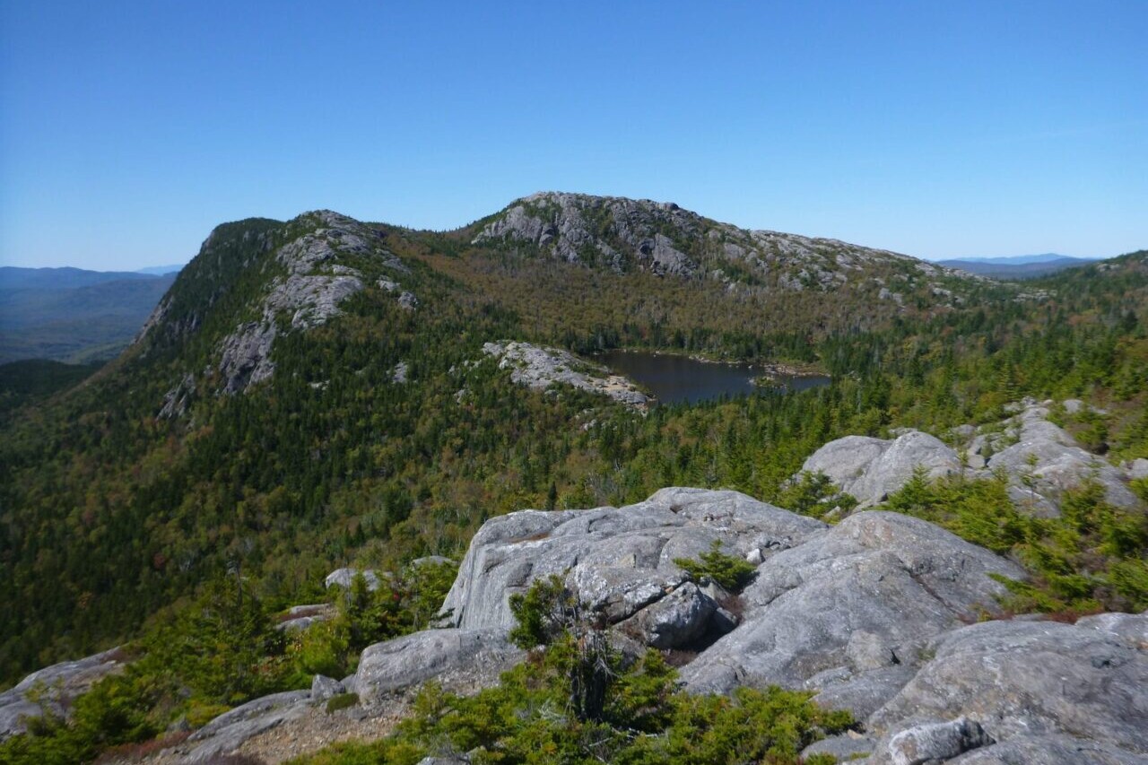
This remote mountain range outside the town of Weld has been popular among hikers since the early 20th century due to the alpine pond on the ridge of Tumbledown Mountain, and the stunning cliffs overlooking the Weld Valley.
Since 2002, the land around the mountains has been protected by conservation easements and is now operated as a multiple-use forest, but it remains one of Maine’s premiere hiking destinations for hikers of all abilities.
FREE
One of the quietest parts of the White Mountains, the Caribou-Speckled Mountain Wilderness and its surroundings east of Route 113 are almost entirely within the state of Maine, and top out at around 2900 feet in elevation. But the size of the hills here belie the beautiful scenery and lovely views from the wilderness area’s namesake mountains, as well as Blueberry Ledge, Deer Hill, and Albany Mountain.
Also home to the Appalachian Mountain Club’s Cold River Camp, this is a great area for lighter day-hikes and escapes from the more crowded high peaks of the Whites.
$4.99
The Western region of the White Mountains includes all major trails west of Interstate 93 and east of Route 25. 4000-Footers Mt Moosilauke, South Kinsman, North Kinsman, and Cannon are highlights, along with Lonesome Lake Hut and the Kinsman Ridge traverse. Also of note are the trails in the Three Ponds area, and several short trails to less-traveled peaks like Rattlesnake Mountain, Stinson Mountain, and Blueberry Mountain. In all, there are about 130 miles of hiking trails in this guide.
$6.99
The northernmost region of the White Mountains includes the Kilkenny Ridge Trail and all trails that link to it, with access to Mounts Cabot and Waumbek. This region of the Whites is the most remote due to its long distance from major population centers, and is a fine place to find solitude on a long hike. There are a total of about 40 miles of trail in this guide.
NH 4000 Footers:
•Mount Cabot
•Mount Waumbek
Backcountry Campsites:
•Unknown Pond Campsite
•Rogers Ledge Campsite
•Cabot Cabin
$3.99
The region of the White Mountain National Forest surrounding the Pemigewasset Wilderness includes seventeen of New Hampshire’s 4000 Footers (Franconia Ridge, Twins, Bonds, Carrigain, Hancocks, Zealand, Willey Range, and Garfield), as well as several popular campsites, waterfalls, and high mountain ponds.
This section includes all major trails bounded by Route 3, Route 302, the Kancamagus Highway, and Bear Notch Road— a total of nearly 200 miles of trail.
$6.99
Mount Washington and the Presidential Range of New Hampshire’s White Mountains are the highest and most daunting mountains of the northeast. The area contains eight of New Hampshire’s 4000-footers, 3 AMC Huts, and around 250 miles of hiking trails.
$6.99
The region of the White Mountain National Forest south of the Kancamagus Highway and generally around the Sandwich Range Wilderness includes seven of New Hampshire’s 4000 Footers (Tecumseh, the Osceolas, the Tripyramids, Whiteface and Passaconaway), as well as one of the highlights of the Whites, Mt Chocorua.
This section includes about 220 miles of trails, bounded by Route 112 (The Kancamagus Highway) to the north, and US Route 3 and Interstate 93 to the west.
$6.99
The region of the White Mountain National Forest surrounding the Wild River Wilderness includes six of New Hampshire’s 4000 Footers (the Wildcat Range and the Carter-Moriah Range), as well as the popular Baldface Range, Kearsarge North, and many fine campgrounds and backpacking trails.
This section includes about 150 miles of trails, bounded by US Route 2 to the north, Routes 16 and 113 to the west and east, and the town of North Conway to the south.
$6.99
The Worcester Mountain Range is a tall series of mountains that separate the towns of Stowe and Waterbury from Montpelier and Worcester. Several of the peaks in the range are popular hiking destinations due to the open, rocky summits with extraordinary views. Peaks like Stowe Pinnacle and Hunger Mountain provide a range of difficulties and plenty of fine views.
$2.99
Stories from the trails of New England!
Check out our most recent blog posts about hiking in New England.
Nothing found.
Nothing found.
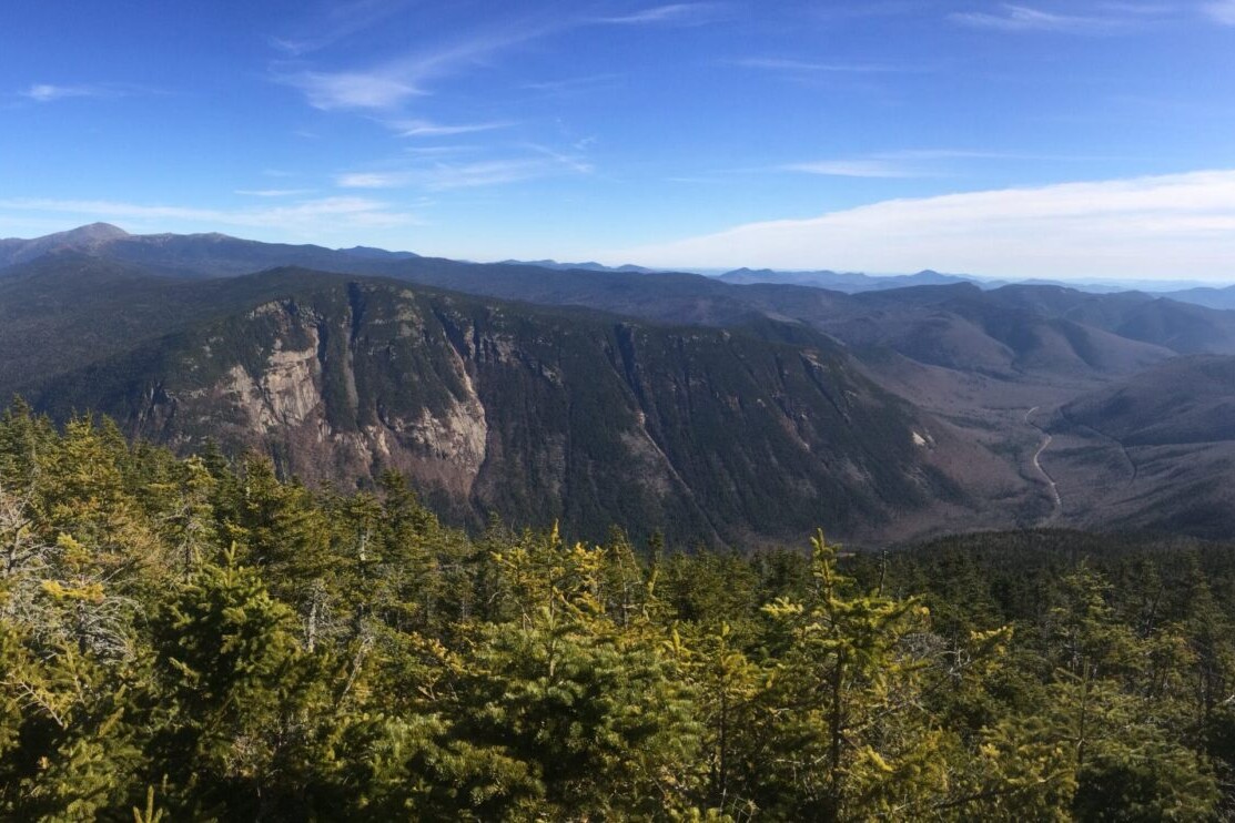
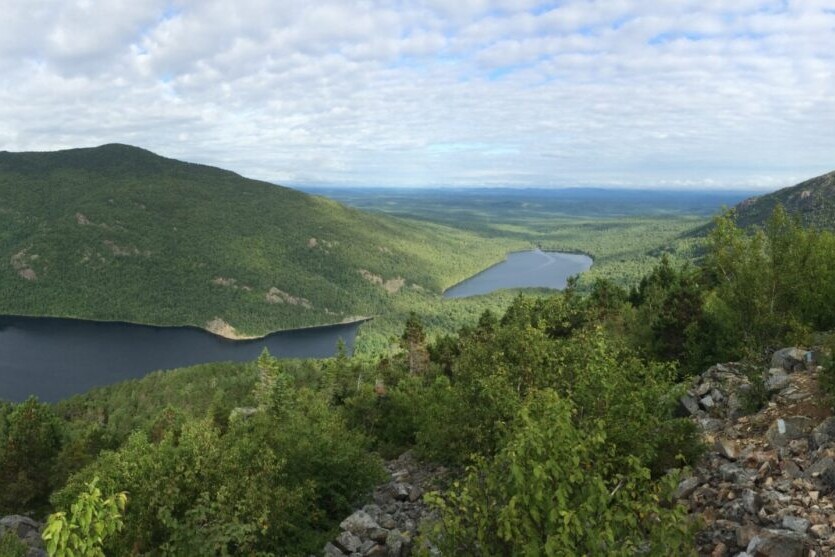
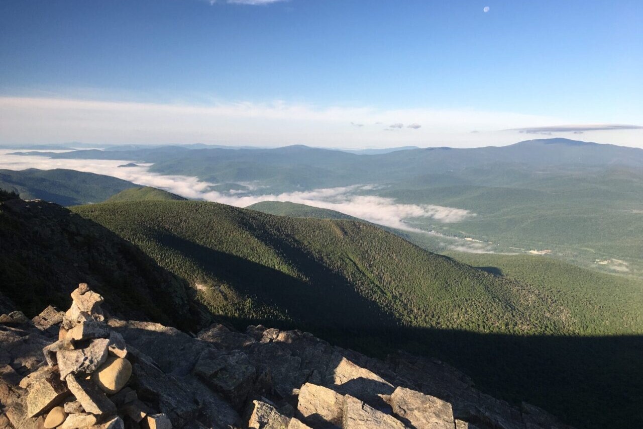
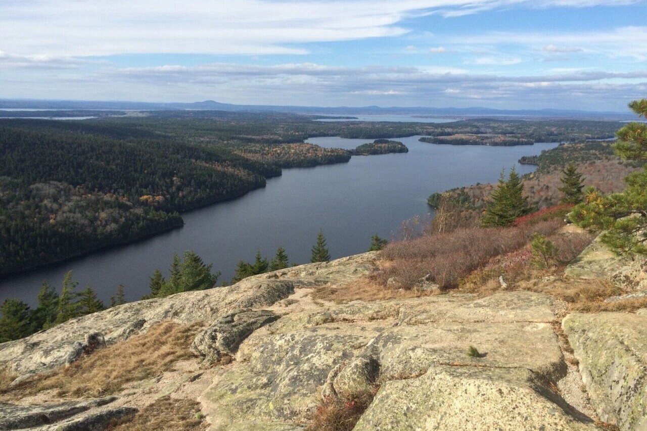
Photos of the New England Hiker trails
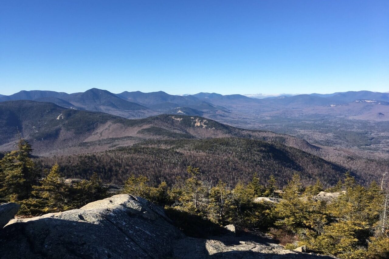
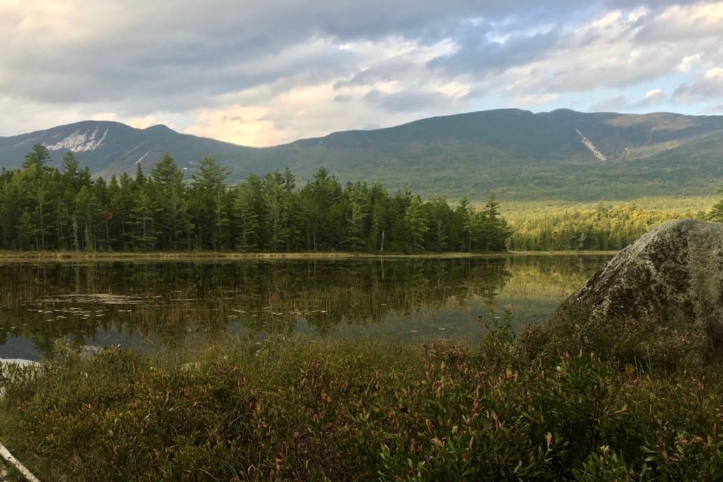
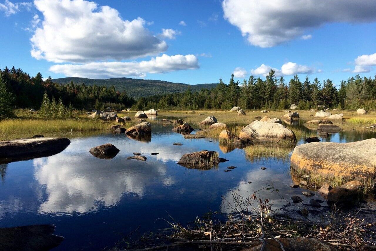

Hike more.
Check out some of the other trail guides we offer!

Continental Divide Trail
Official app of the Continental Divide Trail Coalition. Download our guide to access the CDT map, tracks, waypoints, and comments!Considered by many to be the most remote and challenging of the Triple Crown trails, the Continental Divide National Scenic Trail is a 3000+ mile adventure from Mexico to Canada, traveling through five western states: New Mexico (NM), Colorado (CO), Wyoming (WY), Idaho (ID), Montana (MT). It passes through many ecosystems, 25 National Forests, 21 Wilderness Areas, 3 National Parks, and 1 National Monument. The CDT offers an incredible experience to all who visit, including thru-hikers, section-hikers, and day-hikers. Our data for the Continental Divide Trail guide was collected in partnership with Bear Creek Survey Service, LLC and is updated by the Continental Divide Trail Collation. For more information about Bear Creek’s work, visit their website at bearcreeksurvey.com!
20% off for our Hiking Season Kick-off SALE! The Continental Divide Trail is now $31.99.
Wyoming, Continental Divide Trail
Photo by Dahn Pratt
4.8 ★★★★★ | 17K+ Reviews
Wyoming, Continental Divide Trail
Photo by Dahn Pratt
4.8 ★★★★★ | 17K+ Reviews

4.8 ★★★★★ | 17K+ Reviews
Continental Divide Trail
3100 miles • New Mexico, Colorado, Wyoming, Idaho & Montana
Official App of the Continental Divide Trail Coalition
Download our guide to access the CDT map, tracks, waypoints, and comments! Considered by many to be the most remote and challenging of the Triple Crown trails, the Continental Divide National Scenic Trail is a 3000+ mile adventure from Mexico to Canada, traveling through five western states. It passes through many ecosystems, 25 National Forests, 21 Wilderness Areas, 3 National Parks, and 1 National Monument. The CDT offers an incredible experience to all who visit, including thru-hikers, section-hikers, and day-hikers. Our data for the Continental Divide Trail guide was collected in partnership with Bear Creek Survey Service, LLC and is updated by the Continental Divide Trail Collation. For more information about Bear Creek's work, visit their website at bearcreeksurvey.com!
3100 mi (4980 km) $39.99 full guide 5 sections ($9.99 each)
3100 mi (4980 km)
$39.99 full guide
5 sections ($9.99 each)
Official App
Continental Divide Trail Map


CDT Water Report
Continental Divide Trail Water Report
The CDT Water Report is a data set that is kept up-to-date by hikers and for hikers to help all hikers find reliable and trustworthy water sources. It is brought to you by The Continental Divide Trail Coalition, Atlas Guides, and Sawyer.
Want to contribute to the water report? Email reports to cdtwater@gmail.com

CDT Water Report
Never hike thirsty again!
The CDT Water Report is a data set that is kept up-to-date by hikers and for hikers to help all hikers find reliable and trustworthy water sources. It is brought to you by The Continental Divide Trail Coalition, Atlas Guides, and Sawyer.
Want to contribute to the water report? Email reports to cdtwater@gmail.com

How can I get it?
The Continental Divide Trail map is available as an in-app purchase in our Guthook Guides app, a free download from the Apple App Store or the Google Play Store.
Our iOS and Android apps do differ slightly in their appearance. However, the majority of their features remain the same, and they access the same trail guide data.
Two routes from the Mexico Border: 86 miles of the Crazy Cook Route from the border to Lordsburg, NM, and 58 miles of the Columbus Gila Route from the border to Deming, NM.
The Continental Divide Trail Thru-Hiker Special includes all 5 sections of the 3,050-mile/4,900-km CDT and 21 alternate routes through New Mexico, Colorado, Wyoming, Idaho and Montana. The Thru-Hiker Special provides a 20% savings over purchasing the 5 sections separately.
$39.99
789.5 miles from the Mexico Border to Colorado. Includes 1,200+ waypoints (including water sources) and these 9 alternate routes: Columbus Gila (alternate from the Mexico border), Walnut Creek, Gila River, Gila River High Route, Pietown Road Walk, Cebolla, Bonita-Zuni, Mount Taylor, and Ghost Ranch.
$9.99
CDT mile 789.5 to mile 1529.5 (736 miles through Colorado + 4 miles into Wyoming), from the New Mexico/Colorado border to the Colorado/Wyoming border. Includes 1,100+ waypoints and these 7 alternate routes: Great Divide Alternate, Elwood Pass, Creede Cutoff, Mirror Lake Alternate, Silverthorne, Argentine Spine, and Rocky Mountain National Park Alternate.
$9.99
CDT mile 1525.5 to mile 2035.5 (507 miles through Wyoming + 3 miles into Idaho), from the Colorado/Wyoming border to the Wyoming/Idaho border. Includes 670+ waypoints and these 3 alternate routes: Cirque of the Towers, Knapsack Col, and Leeds Creek.
$9.99
CDT mile 2032.5 to mile 2439.1 (406.6 miles) from the Idaho/Wyoming border, along the Idaho/Montana border, then to Johnson Lake, Montana. Includes 360+ waypoints and the Macks Inn alternate route.
$9.99
CDT mile 2439.1 to mile 3014.6 (575.5 miles) from Johnson Lake, Montana to the USA/Canada border in northern Montana. Includes 590+ waypoints and these alternate routes and side trails: Anaconda Route, Spotted Bear Pass, Chief Mountain (alternate to international border), and 4-mile track to the town of Waterton, Alberta.
$9.99

Cheers to giving back! Part of your purchase of the Continental Divide Trail goes to support the Continental Divide Trail Coalition’s work to preserve and maintain the trail. Learn about the Continental Divide Trail Coalition.
Stories from the Continental Divide Trail!
Check out our most recent blog posts about the Continental Divide Trail.
Nothing found.
Nothing found.
About our partner
Continental Divide Trail Coalition
The mission of the Continental Divide Trail Coalition is to complete, promote, and protect the Continental Divide National Scenic Trail. The CDTC accomplishes this by building a strong and diverse trail community, providing up-to-date information to the public, and encouraging conservation and stewardship of the trail and its surrounding landscapes. The CDTC works to make sure that the Continental Divide Trail is a renowned and revered natural resource for people to connect with friends and family, draw inspiration, and create outstanding personal experiences.
Atlas Guides works with the CDTC to create and maintain the Continental Divide Trail Coalition’s smartphone navigation app.
Hike more.
Check out some of the other trail guides we offer!
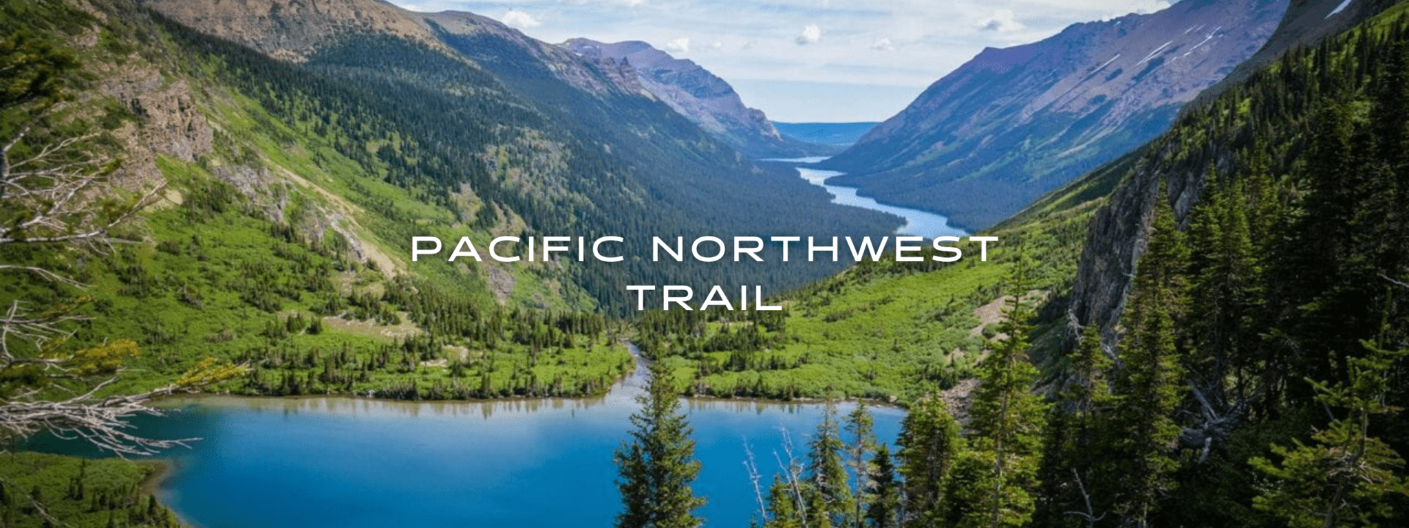
Pacific Northwest Trail
Official app of the Pacific Northwest Trail Association. The Pacific Northwest National Scenic Trail is one of the youngest National Scenic Trails and traverses some of the most beautiful lands in the country, including three National Parks and seven National Forests. This spectacular journey of over 1200 miles (1930 km) takes you from the Rocky Mountains of Glacier National Park, Montana, through Idaho to the coastal wilderness of Washington State. The PNT ranks among the most scenic and rugged long-distance trails in the world, and is an incredible hiking adventure for thru-hikers, backpackers, section-hikers, and day-hikers.
20% off for our Hiking Season Kick-off SALE! The Pacific Northwest Trail is now $19.99.
30% off for our Small Business Saturday SALE! The Pacific Northwest Trail is now $16.99.
Glenn’s Lake, Glacier National Park, Pacific Northwest Trail
Photo courtesy of the Pacific Northwest Trail Association
4.8 ★★★★★ | 17K+ Reviews
Pacific Northwest Trail
1200 miles • Montana, Idaho & Washington
Official App of the Pacific Northwest Trail Association
Download our guide to access the PNT map, tracks, waypoints, and comments! The Pacific Northwest National Scenic Trail is one of the youngest National Scenic Trails and traverses some of the most beautiful lands in the country, including three National Parks and seven National Forests. This spectacular journey of over 1200 miles (1930 km) takes you from the Rocky Mountains of Glacier National Park, Montana, to the coastal wilderness of Washington State. The PNT ranks among the most scenic and rugged long-distance trails in the world, and is an incredible hiking adventure for thru-hikers, backpackers, section-hikers, and day-hikers.
$24.99 full guide
1200 mi (1930 km)
$24.99 full guide
Official App
Pacific Northwest Trail Map


How can I get it?
The Pacific Northwest Trail map is available as an in-app purchase in our Guthook Guides app, a free download from the Apple App Store or the Google Play Store.
Our iOS and Android apps do differ slightly in their appearance. However, the majority of their features remain the same, and they access the same trail guide data.
This fully-feature demo of the Pacific Northwest National Scenic Trail includes the final 20-mile stretch of the 1217-mile PNT along the beautiful Pacific Coast in Washington.
The Pacific Northwest Trail is one of the youngest National Scenic Trails and traverses some of the most spectacular lands in the country. This 1217-mile journey takes you from the Rocky Mountains of Glacier National Park, Montana, to the coastal wilderness of Washington State. This purchase includes the entire PNT.
$24.99
The Pacific Northwest Trail is one of the youngest National Scenic Trails and traverses some of the most spectacular lands in the country. This guide covers the eastern half of the trail, taking you 580 miles from the Rocky Mountains of Glacier National Park, Montana, to Oroville, Washington.
$14.99
The Pacific Northwest Trail is one of the youngest National Scenic Trails and traverses some of the most spectacular lands in the country. This guide covers the western half of the trail, taking you 640 miles from Oroville, Washington to the Pacific Coast of Washington.
$14.99
Cheers to giving back! Part of your purchase of the Pacific Northwest Trail goes to support the Pacific Northwest Trail Association’s work to preserve and maintain the trail. Learn about the Pacific Northwest Trail Association.
Photos of the Pacific Northwest Trail
Hike more.
Check out some of the other trail guides we offer!
About our partner
Pacific Northwest Trail Association
The Pacific Northwest Trail Association is the organization that created the Pacific Northwest Trail and has advocated for its place in our National Trails System, the gold standard for long-distance trails in America. Today, they strive to build a better PNT and to improve access with trail information and outreach. The PNTA is a nonprofit organization and is dedicated to the protection of the PNT. Their trail community includes volunteers, trailside communities, and PNT users, who work together to build a better trail and to protect it for generations to come.
In partnership with the PNTA, Atlas Guides has created the official app for the Pacific Northwest Trail.