My Trail Story by Crunchmaster
Planning an adventure? Check out our popular trail guides! 4.8 stars (17K+ ratings)
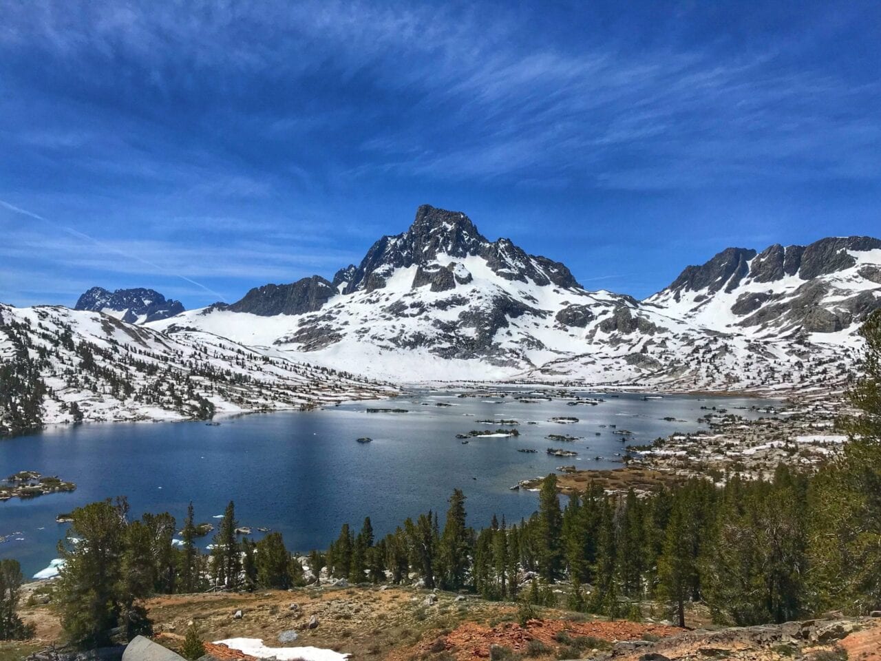
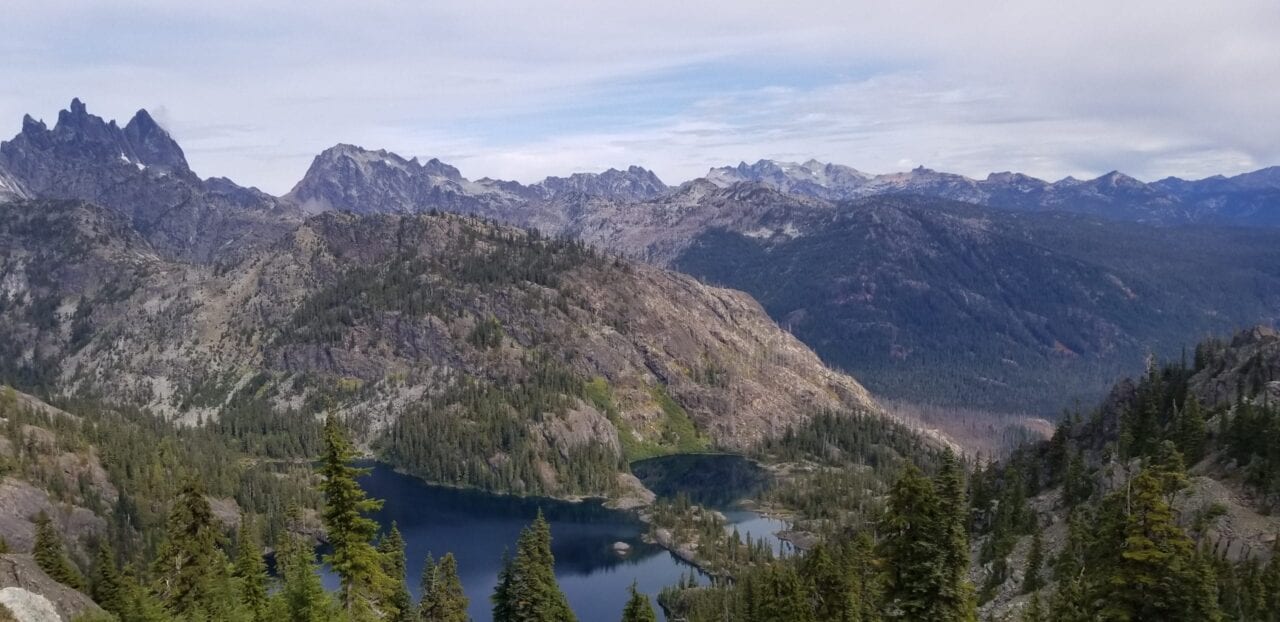
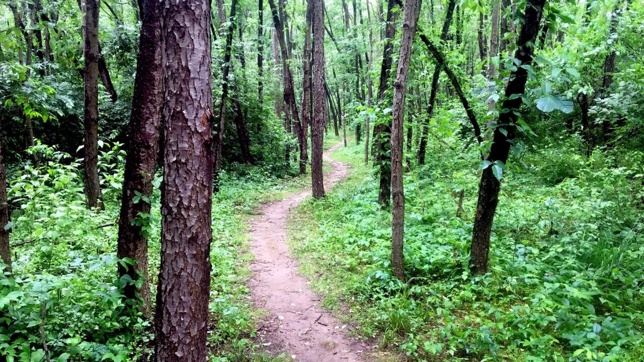
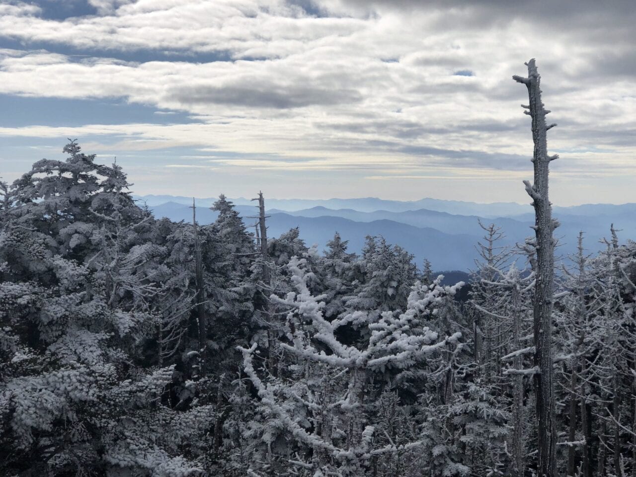
Photo by Trevor Pyke
My Trail Story featuring Crunchmaster
Trevor Pyke, a.k.a. Crunchmaster, shares how he's come to love thru-hiking and what he learned hiking the Pacific Crest Trail, Appalachian Trail, and parts of the Continental Divide Trail.
Natalie McMillan My Trail Story 02/21/2019
Natalie McMillan
My Trail Story
02/21/2019
What was your trail name?
Crunchmaster
How did you get your trail name?
I got my trail name on the Appalachian Trail because I was sponsored by “Crunchmaster Crackers”. I had a friend that was a salesman for the company and they wanted to get their brand out there! They would ship me boxes of crackers and I would hand them out to other hikers.
What trail(s) did you hike?
I have hiked the Appalachian Trail, the Pacific Crest Trail twice, and about half of the Continental Divide Trail.
When did you hike?
I hiked the Appalachian Trail in 2013, the Pacific Crest Trail in 2015 and 2018, and the Continental Divide Trail sections in 2016-2017.
How old are you?
I am 24 years old.
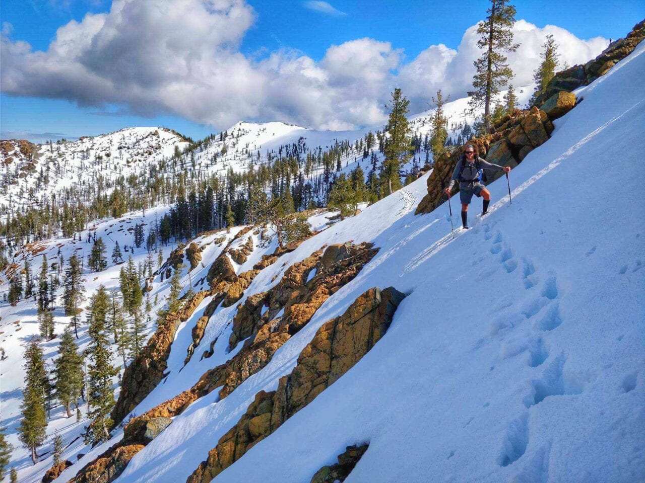
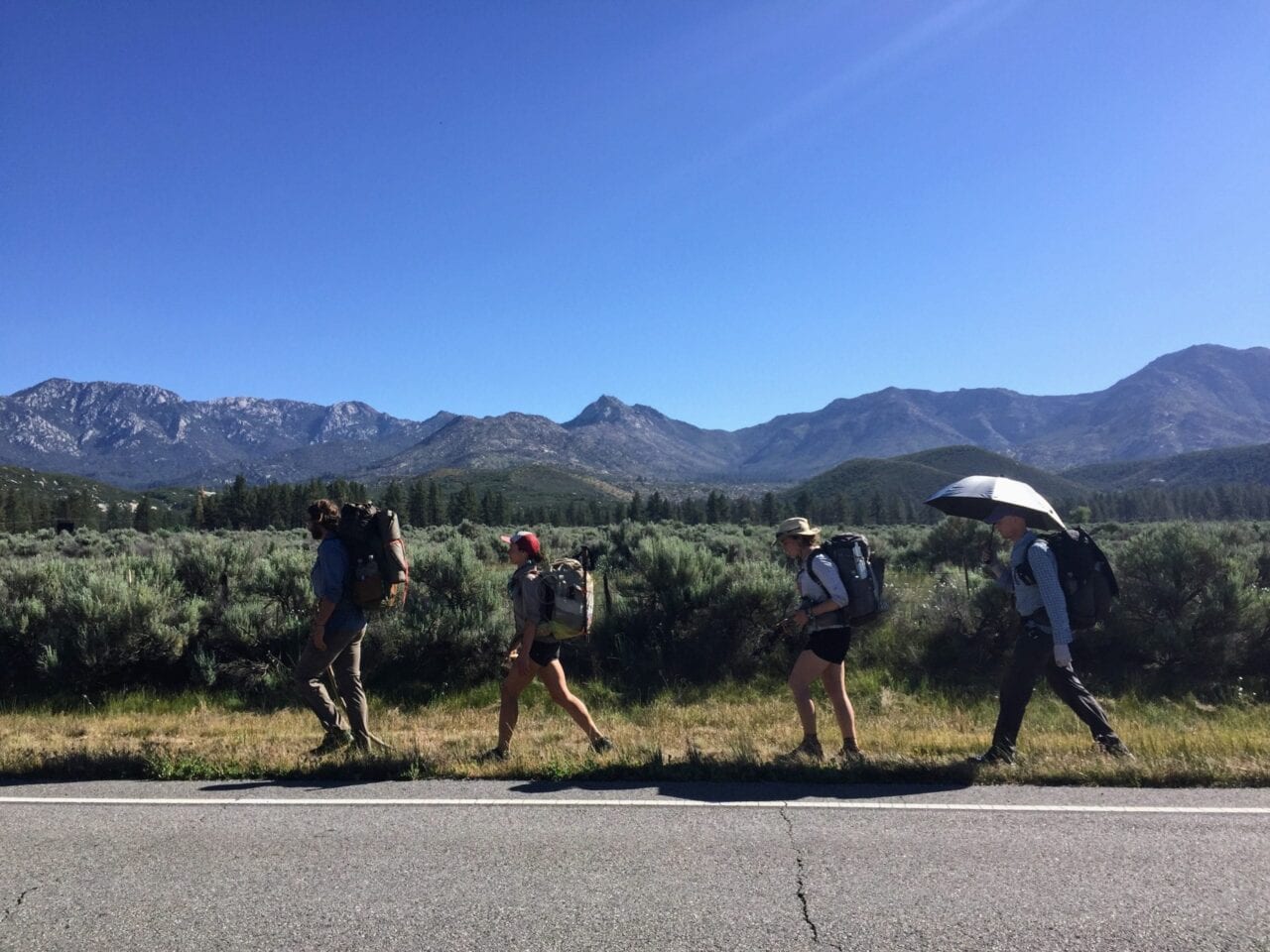
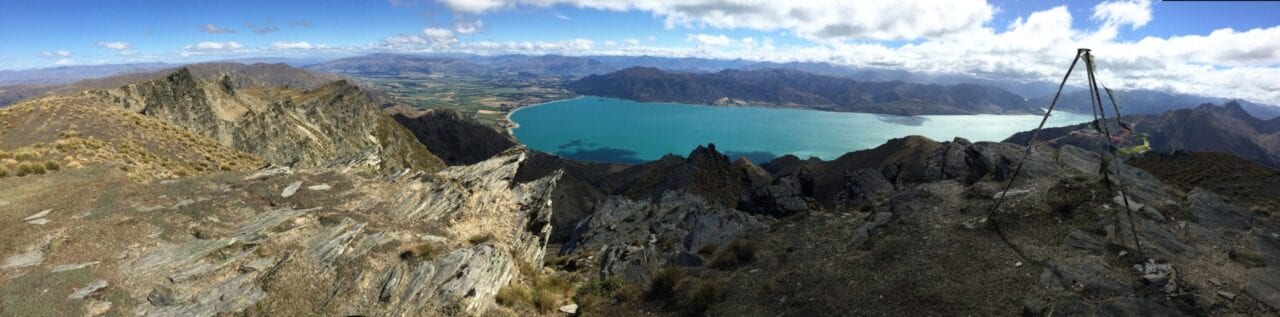
Photo by Trevor Pyke
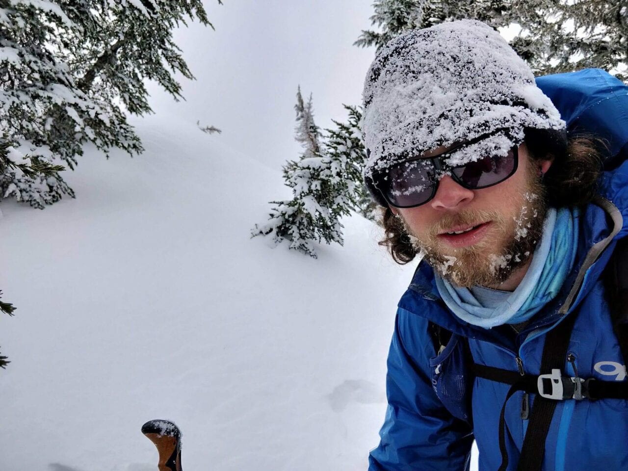
Photo by Trevor Pyke
What was your favorite food on the trail?
My go to food has always been fritos, summer sausage, and cheese.
What advice would you give to someone who has never done a thru-hike before?
My advice to first time thru hikers would be to never give up on a bad day. There will be days where you’re soaking wet, freezing, and feeling like you can’t go on any more. Wait until you’ve gotten to town, had a nice hot shower, and a really nice meal before making any big decisions about your hike. And most importantly, just enjoy yourself!
What does thru-hiking mean to you?
After finishing the Appalachian Trail in 2013 I knew I had become addicted. Since then, thru hiking has become my therapy and I don’t know where I would be without it. I am always the happiest when I’m on the trail.
Would you do another thru-hike? If yes, which trail is next?
Yes! I have many more trips planned for the future. I will be hiking the Pacific Crest Trail for a third time in 2019, and in 2020 I will be attempting the Great Western Loop.
What was the easiest/hardest part about your thru-hike?
Honestly, there really isn’t anything easy about hiking thousands of miles. But one of the hardest things I’ve had to deal with is the heat. I always struggle in the desert sections!
What do you miss the most?
The thing I miss the most is the freedom. You don’t have any of the stress that can haunt you in the real world. The only worries are where your next water is and what food you will eat when you get to town.
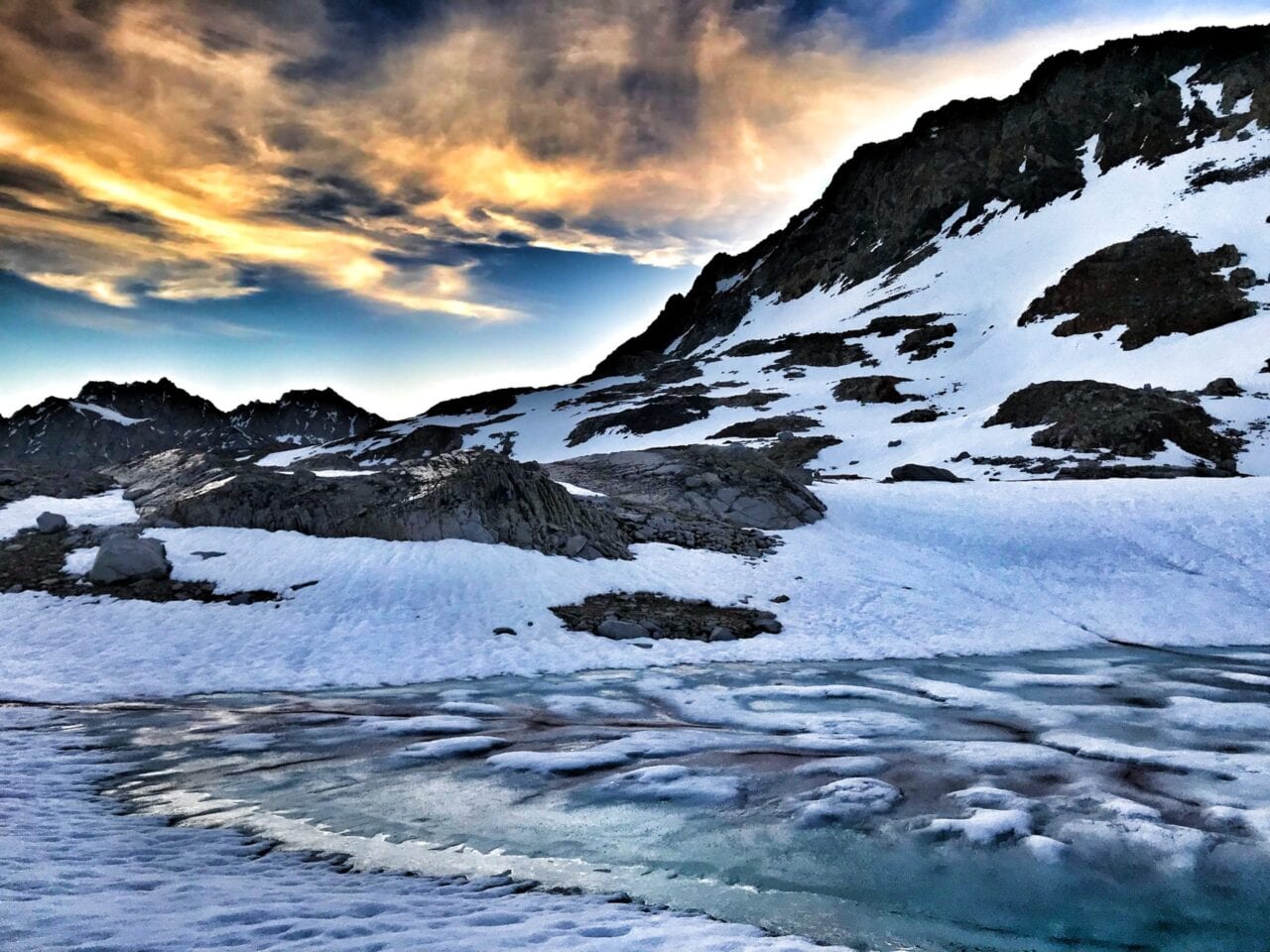
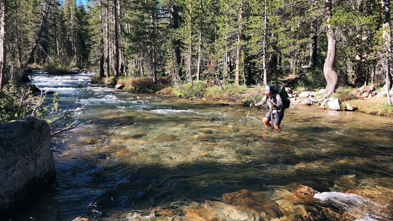
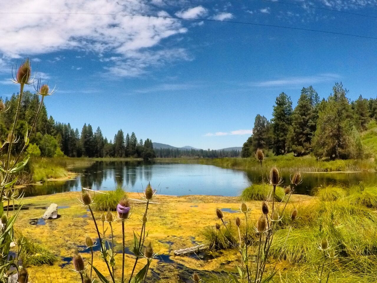
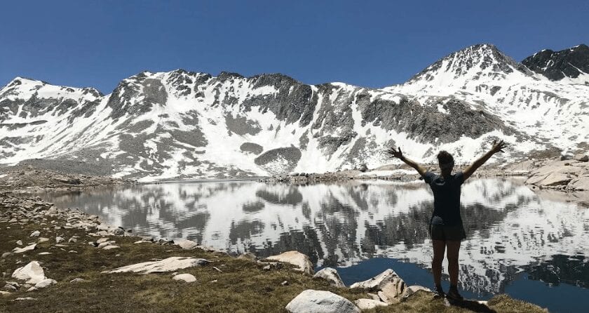
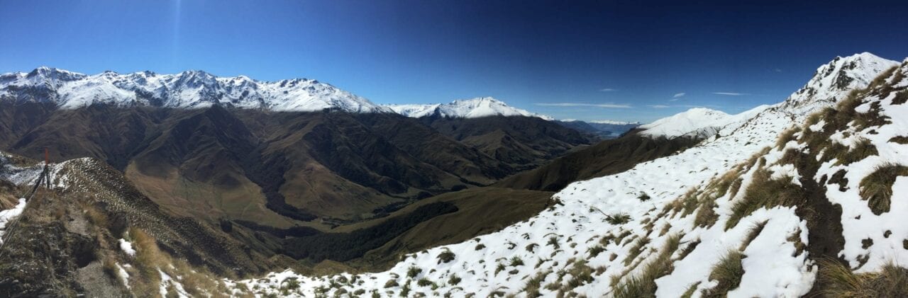
Photo by Trevor Pyke
What was your favorite feature in our app?
My favorite thing about Guthook Guides is the elevation profile. I love looking at what the trail will be like for the day! The GPS feature has also saved me from getting lost numerous times, especially on the Continental Divide Trail.
What was the one thing you had to have with you while you hiked?
My battery pack, so that I could keep my phone charged and document my trips.
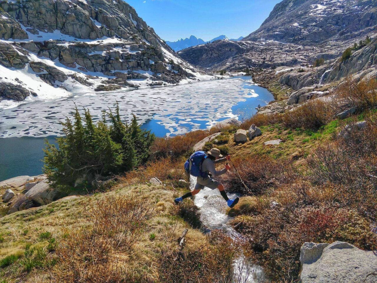
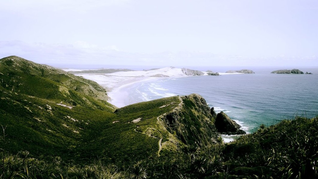
Photo by Trevor Pyke
Why did you decide to go on a thru-hike in the first place?
My grandpa hiked the whole Appalachian Trail over a 12 year period and I was able to join him for about 500 miles. When he finished I knew I wanted to do the entire trail in one trip.
Did you hike solo or with other people?
I usually start out solo, but then end up meeting up with others early on in the hike.
What part of the trail was your most/least favorite?
My favorite sections of trail have been the Sierras, Northern Washington, Glacier National Park, and Maine. My least favorite parts have been pretty much all of New Mexico, the Mojave section, and New York.
How many pairs of shoes did you go through?
I typically go through 2-3 pairs of shoes on each thru hike.
Was there a highlight of your hike?
Having a big grizzly bear come through camp on my first night in Glacier National Park. And seeing 14 bears in one day in Shenandoah National Park.
What was the scariest part of your hike?
Getting stalked by a mountain lion while night hiking in Central Oregon.
Did you ever reach a point where you wanted to quit? How did you stay motivated to finish?
Many times. This is a normal feeling for anyone attempting such a big hike. Whenever I felt close to quitting I would make a phone call home to family and then get to town and get a hotel room. After taking a day off I have always been ready to keep going.
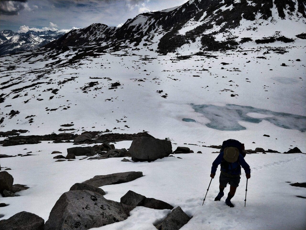
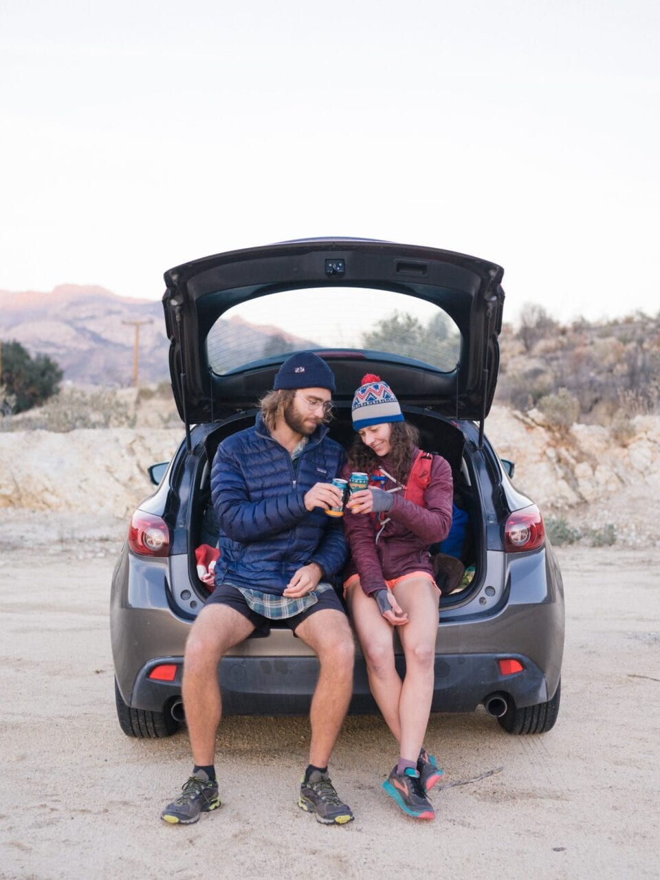
Photo by Trevor Pyke
Want to keep up with all that’s going on at Atlas Guides? Sign up for our newsletter!
Read more!
Check out some related blog posts!
Get our trail guide for this area!
Pacific Crest Trail
The Pacific Crest Trail is an epic journey of three states and over 2600 miles. Its path travels from the US border with Mexico to the northern border with Canada.
2650 mi (4260 km) $29.99 full guide
Washington, Pacific Crest Trail
Photo by Justin Helmkamp
Washington, Pacific Crest Trail
Photo by Justin Helmkamp
Pacific Crest Trail
The Pacific Crest Trail is an epic journey of three states and over 2600 miles. Its path travels from the US border with Mexico to the northern border with Canada.
2650 mi (4260 km)
$29.99 full guide
Get our trail guide for this area!
About the Author

Natalie McMillan
Natalie grew up hiking in Arizona where she fell in love with the outdoors. Her favorite hikes are to Havasu Falls in the Grand Canyon and Angel’s Landing in Zion National Park, UT. She loves taking pictures of people, places, and nature, which might explain why she has almost 47,000 photos currently residing on her phone. She takes care of all things related to social media and marketing and recently moved to Denver, CO from Flagstaff, AZ. You may find her frolicking around the trails and mountains of Colorado, or exploring the new city she gets to call home.
My Trail Story by Squishy
Planning an adventure? Check out our popular trail guides! 4.7 stars (14K+ ratings)
Photo by Emily Schrick
My Trail Story featuring Squishy
Emily Schrick, a.k.a. Squishy, talks about her experience thru-hiking the Pacific Crest Trail and how she stayed motivated to finish.
Natalie McMillan My Trail Story 02/28/2019
Natalie McMillan
My Trail Story
02/28/2019
What is your trail name?
Squishy
What trail did you hike?
Pacific Crest Trail, April 6 – September 25, 2018
How old are you?
25 years
What was your favorite food on the trail?
I cold-soaked for the majority of the trail, which most people think is incredibly disgusting, but I thought it was great! One of my favorite dinners was cold-soaked Knorr Taco Rice Sides with Crumbled Honey BBQ Fritos (or any chips, really). My favorite snack was Welch’s Island Fruits Snacks, and my favorite lunch was bagels smothered in Skippy’s Honey Peanut Butter and squeezable Smucker’s Strawberry Jam. My favorite dessert? Sour gummy worms. When I had my stove in Washington, Annie’s White Cheddar Mac & Cheese was my favorite food. Essentially, I ate everything a 5-year-old would dream about.
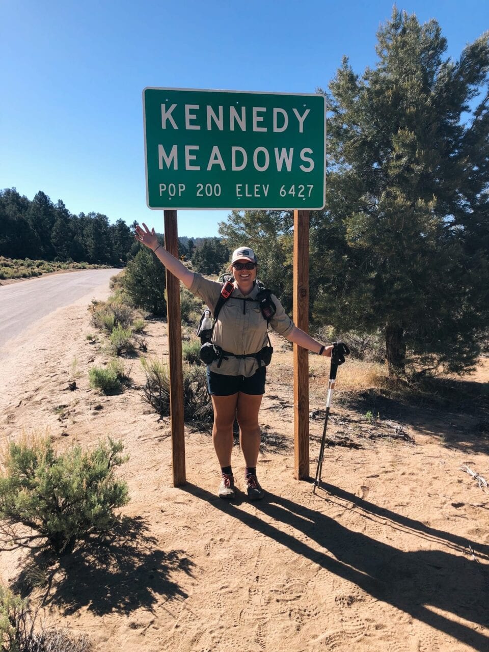
Photo by Emily Schrick
Would you do another thru-hike? If yes, which trail is next?
Absolutely! It depends on permits, but either the Wonderland Trail or Colorado Trail this summer. I also have my sights set on the rest of the Triple Crown at some point.
What do you wish you had done differently?
I wish I stressed less in the Sierra. There was so much beauty around me, but I found myself worrying about the next pass, or the next sketchy snow patch or river crossing a lot. And even though I loved my Guthook’s app, I wish I checked it a little less and let there be a little more mystery in the day.
What do you miss the most?
I miss the feeling of working towards a tangible goal every single day. There’s always the next water source to get to, the next campsite, the next town… and finally, Canada. I don’t really have that anymore in my “regular” life, and especially with the trail to look back on, I feel lost a lot of the time now because I don’t really have anything I’m working towards, except my next hike. I also miss waking up early and walking in the silence, and then hearing the birds start chirping and watching the sun rise. Those were some of my favorite moments of the day, and I just don’t get that in regular life.
Photo by Emily Schrick
What advice would you give to someone who has never done a thru-hike before?
The saying is getting a little old, but Hike Your Own Hike (as long as you are still following Leave No Trace principles). The internet is full of opinions, and full of people who may mean well, but have never thru-hiked a trail. Take everything you read beforehand with a grain of salt, and do what works well for you. You can always change things later on if you realize something doesn’t suit you. Also, never quit on a bad day. And if you’re having a bad section between towns, go into town, take a zero or two, and go back out to the trail, and wait until the next town to make a decision about quitting.
And, bring a hobby along with you, something that makes your thru-hike personal and enjoyable. Like reading books? Bring a kindle or a paperback. Love photography? Take the weight penalty and bring your DSLR camera. Bring your ukulele if it makes you happy and inspires you. You won’t regret bringing a small piece of your hobby along with you on the trail, even if it means adding a pound to your pack. If you end up never using it, you can always send it home.
What does thru-hiking mean to you?
This is such a hard question for me to answer, since it means so many different things. At its essence though, it’s about walking over a long distance. I still can’t believe I’ve done a thru-hike. That I’ve walked from Mexico to Canada. It’s still so crazy to me, that my body was able to do this and take me across deserts, over mountains, and through forests. To experience that diversity, and over time, just felt so natural and harmonious, especially in comparison to motor travel.
Photo by Emily Schrick
Thru-hiking also means community. There aren’t that many people who yearn to thru-hike, and there are even less who have completed thru-hikes. Even if I’ve never met the person before, knowing that they have completed a thru-hike, or are thru-hiking, makes me feel more connected to them. We could have had completely different hikes, in different years, and under different circumstances, but we probably suffered through some of the same stuff, cried out of happiness and frustration, and craved an ice cold drink on a blistering hot day. And it can be hard to convey these feelings and experiences to someone who hasn’t thru-hiked. But when you’re with a thru-hiker, you know that they get it. And in a way, that feels like home.
What was your favorite feature in our app?
I have a love/hate relationship with the elevation profile feature. I like to have an idea of how big a climb is going to be, but I hate when I check mid-way through the climb and I haven’t gone as far as I’d thought! The feature I unequivocally love though is the comments. Not only are they useful, but they can also be really funny, which makes me love my fellow thru-hikers even more!
Why did you decide to go on a thru-hike in the first place?
I really craved the adventure of it, and the personal accomplishment. I was definitely lost after college, even though I had “done everything right”, and I felt really unaccomplished and had no idea what I was going to do next. I thought doing this thru-hike would help clarify some things in my life, and also satisfy my craving for being outside. My hike didn’t really give me any answers about what I want to be when I grow up, and it left me wanting more backpacking and wilderness, so it didn’t exactly help with my initial “problems”. But, hiking the PCT definitely restored my confidence in myself, and I do feel a great sense of accomplishment in completing it.
Did you hike solo or with other people?
I hiked with people I met on the trail for the first half, then did the second half solo!
Photo by Emily Schrick
What part of the trail was your most/least favorite?
The Sierra was probably my favorite part of the trail, with the Washington section coming in a close second. There’s just something so magical about being able to walk from Kennedy Meadows to Tuolumne Meadows and not have any roads bisect the mountains. I think it’s so special, and it really does feel like you’re “out there”. Also, the Sierra was just so gorgeous in terms of scenery and weather, and it left me wanting more!
I had to think a little bit about my least favorite section, but I think it was NorCal. There was a lot of beauty in NorCal, so I kind of hate saying that, but with how hot the days were, all of the smoke I had to endure, getting Norovirus, and how lonely I felt after losing my trail family, it was definitely a rough patch for me.
How many pairs of shoes did you go through?
4
Was there a highlight of your hike?
I wouldn’t say there was one specific highlight. There were just these moments where everything felt right and I realized how lucky I was to be able to do this. That I was privileged enough that not working didn’t matter, that my family was 100% supportive of me, that I had my health and a functioning body to be able to hike 20 miles a day, that there are people like me who value wide-open spaces and had the foresight to protect them. Usually these moments happened when I was standing at the top of a climb, looking at a stunning view. The top of Mt. Whitney, walking past South Sister, at the Northern Terminus. I just felt so lucky.
What was the scariest part of your hike?
I fell coming down Mather Pass while off-trail scrambling around the lingering snow patches. That was probably the scariest part, because I got really close to the edge of a drop-off. I had to regain my breath and stop myself from shaking before walking again!
Did you ever reach a point where you wanted to quit? How did you stay motivated to finish?
I had 2 really low points on the trail. The first was at Whitewater Preserve, about 200 miles into the trail. It was so hot, I was homesick, I was coming off of 2 days off in Idyllwild, and everything felt wrong and terrible and I felt like I just couldn’t walk anymore, and that I was holding up new friends who could go faster and put more miles in. Thankfully, one of those friends got me to snap out of it a little and stuck by me during this incredibly bad day. We finished hiking that day and got to camp early, by a water source, and decided we’d just wake up at 3 AM to hike in the cooler air the next day. I don’t know how I kept going that day, but her confidence in me definitely helped, and I knew that deep down I didn’t want to fail.
I also felt like quitting a little bit when I got Norovirus. I was angry I got sick, I was trapped in a motel by myself because I lost my trail family a week prior, which made me sad, and I was just really bummed out by my circumstances. When I got back on trail, I didn’t know anybody in my new bubble, and it was the first time I felt pretty alone on trail. Thankfully, again, I was so determined to finish that after I cried and had my own hissy fit, I was able to envision what it would feel like at the end, and think about how much I wanted to see Oregon and Washington, and I was able to pull through.
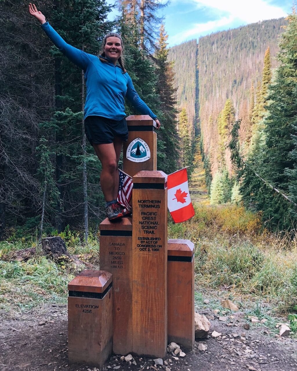
Photo by Emily Schrick
Want to keep up with all that’s going on at Atlas Guides? Sign up for our newsletter!
Read more!
Check out some related blog posts!
Get our trail guide for this area!
Pacific Crest Trail
The Pacific Crest Trail is an epic journey of three states and over 2600 miles. Its path travels from the US border with Mexico to the northern border with Canada.
2650 mi (4260 km) $29.99 full guide
Washington, Pacific Crest Trail
Photo by Justin Helmkamp
Washington, Pacific Crest Trail
Photo by Justin Helmkamp
Pacific Crest Trail
The Pacific Crest Trail is an epic journey of three states and over 2600 miles. Its path travels from the US border with Mexico to the northern border with Canada.
2650 mi (4260 km)
$29.99 full guide
Get our trail guide for this area!
About the Author
Natalie McMillan
Natalie grew up hiking in Arizona where she fell in love with the outdoors. Her favorite hikes are to Havasu Falls in the Grand Canyon and Angel’s Landing in Zion National Park, UT. She loves taking pictures of people, places, and nature, which might explain why she has almost 47,000 photos currently residing on her phone. She takes care of all things related to social media and marketing and recently moved to Denver, CO from Flagstaff, AZ. You may find her frolicking around the trails and mountains of Colorado, or exploring the new city she gets to call home.
My Trail Story by Chicken of the Sea
Planning an adventure? Check out our popular trail guides! 4.8 stars (17K+ ratings)
Photo by Ben Coats
My Trail Story featuring Chicken of the Sea
Ben Coats, a.k.a. Chicken of the Sea, talks about the curveball he experienced on the Pacific Crest Trail.
Natalie McMillan My Trail Story 02/28/2019
Natalie McMillan
My Trail Story
02/28/2019
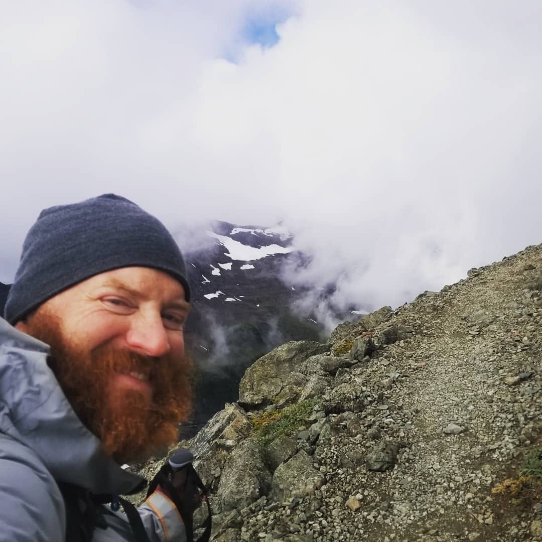
Photo by Ben Coats
Curveball on the Trail
By Ben Coats “Chicken of the Sea”
When I came to, blood was filling my eye. I blinked. What on earth? I wiped blood away from my eye. I felt my face. My eye seemed unscathed as far as I could tell but I had a sizeable cut on forehead. I looked up at the taco stand owner.
“What happened?” I said.
“No idea,” he replied. “You ordered tacos and when I turned back around you were on the floor.”
I pulled myself up to a sitting position and tried to collect myself. The owner had fished out some rubber gloves and was applying gauze to my cut forehead. I took inventory. My shoulder burned. I must have hit it against the wall when I fell. My right knee felt jammed and it was hard to move. I must have collapsed on my knee, and then fell to my right side banging my shoulder against the wall, and then hit my head either on the wall or the floor.
After collecting my tacos, I tried to make my way back to my room. I was in South Lake Tahoe, 1094 miles into the PCT taking a zero and doing a resupply. I had been solo hiking for most of the trail so far, but luckily my girlfriend had come out for a couple of weeks to hike with me, and we were staying just across the street.
I took a couple steps and stopped. “Crap,” I thought. “My leg is really jacked up.” I could barely walk a few steps. For the last 1000 miles I had been nursing an old plantar fasciitis in my left foot. After all that, my right leg (my good leg) was completely messed up as well. I still had over 1500 hundred miles to go. It took me a good 10 minutes to hobble back to my room.
After telling my girlfriend what happened, I fell into my convalescence bed. Well, our zero day soon turned into four zeros. On the second day, I woke up in the middle of the night and had use the facilities. I literally had to crawl to the restroom. Sitting in bed for days, I thought for the first time that my hike might be over. I had never really thought about quitting — it really wasn’t in my nature. But now, I was faced with the real possibility that I might not finish the trail. I was a relatively slow thru-hiker but was still on pace to finish in late September or early October. But what if I needed two weeks to recover? If that happened, I wouldn’t get to Canada before the snowstorms. I simply didn’t have that time. There was nothing I could do except wait and hope that it got better. So I waited.
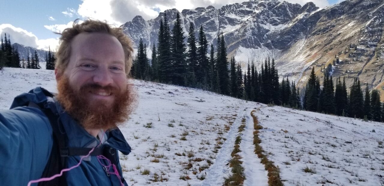
Photo by Ben Coats
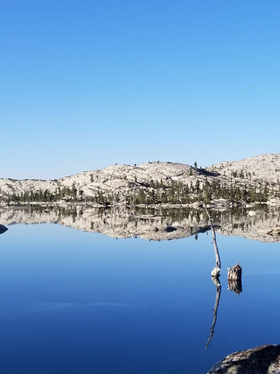
Photo by Ben Coats
After four zero days I went back to trail. I made it one-half of a mile. I was totally exhausted. We had planned on 8 miles that day, but I told my girlfriend I wasn’t going to make it. We ended up going to summer camp near Echo Lake. We sang camp songs, and I ate more spaghetti than any camper ever should. After checking in with the camp nurse, we decided it would be safe to proceed.
The next day was better. We made 5 miles and camped at Lake Aloha, which is one of the most beautiful spots on the trail in my opinion. My leg got better after that. It took a couple weeks to get back to full strength. It was extremely frustrating to be doing 10-12 mile days in an area where other hikers were starting to do 30s but I managed through it.
I made it to Canada on October 5. I only got stuck in one snowstorm and beat most of the big storms just in the nick of time. Like most thru-hikers, I can’t really put into words how the hike affected me. But I will say it was an overwhelmingly positive experience and has been great for my physical and mental well-being. One thing I learned is that I needed outdoor activity to be a big part of my life going forward.
To that end I worked with my girlfriend to create the Ultimate Hiking Challenge. This is an attempt to help people get outside and experience the healing effects of nature that we have had in our lives. Challengers can commit to hike 100, 250, 500 or 1000 miles in a year and to see the change it makes in their lives. You can register for free on our site.
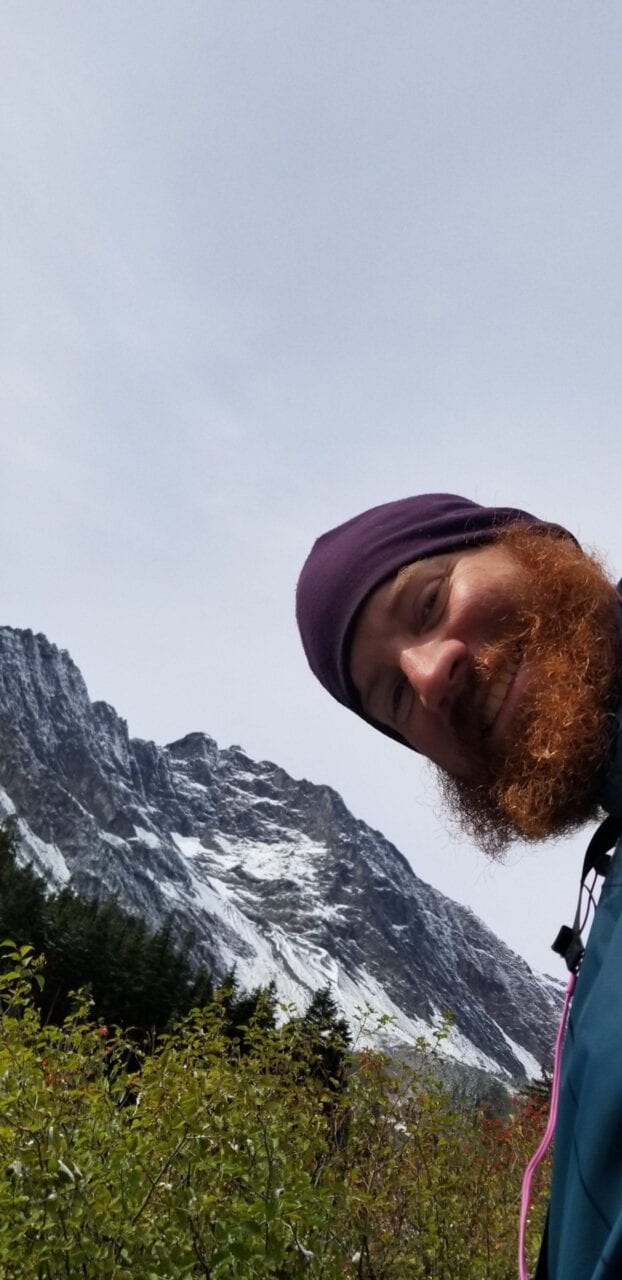
Photo by Ben Coats
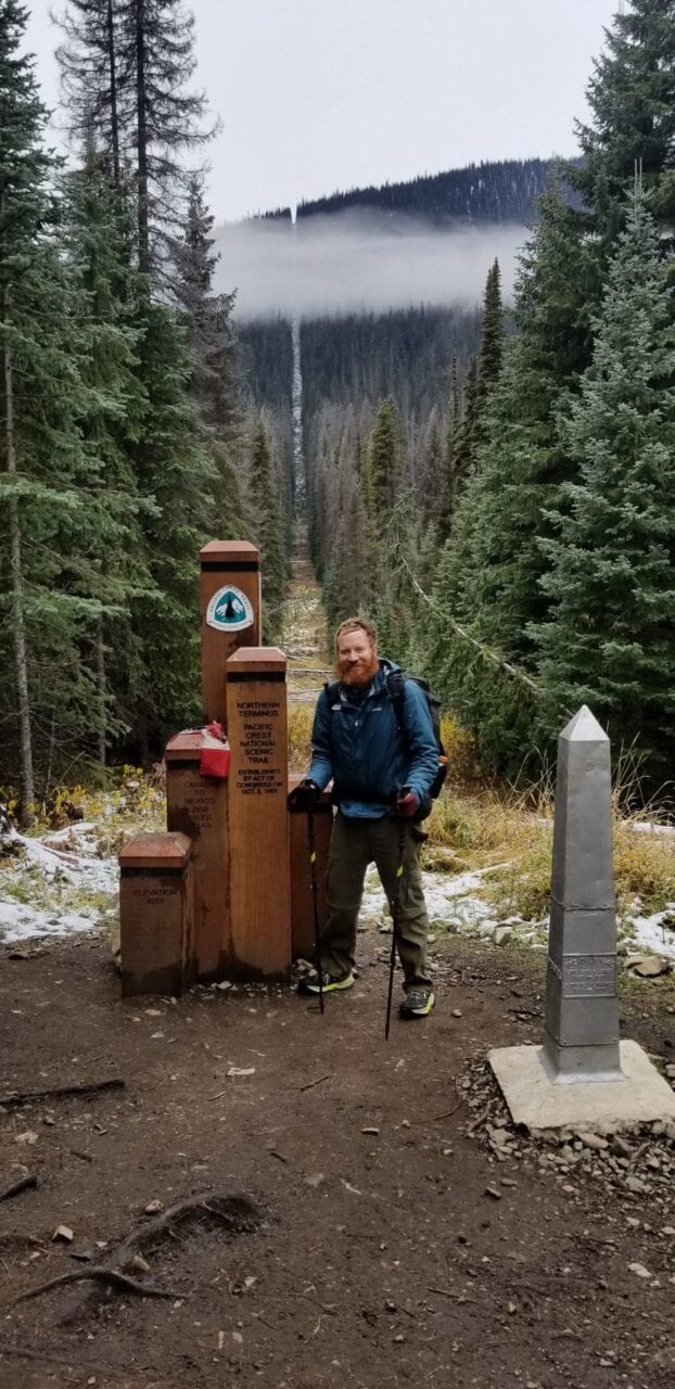
Photo by Ben Coats
Want to keep up with all that’s going on at Atlas Guides? Sign up for our newsletter!
Read more!
Check out some related blog posts!
Get our trail guide for this area!
Pacific Crest Trail
The Pacific Crest Trail is an epic journey of three states and over 2600 miles. Its path travels from the US border with Mexico to the northern border with Canada.
2650 mi (4260 km) $29.99 full guide
Washington, Pacific Crest Trail
Photo by Justin Helmkamp
Washington, Pacific Crest Trail
Photo by Justin Helmkamp
Pacific Crest Trail
The Pacific Crest Trail is an epic journey of three states and over 2600 miles. Its path travels from the US border with Mexico to the northern border with Canada.
2650 mi (4260 km)
$29.99 full guide
Get our trail guide for this area!
About the Author
Natalie McMillan
Natalie grew up hiking in Arizona where she fell in love with the outdoors. Her favorite hikes are to Havasu Falls in the Grand Canyon and Angel’s Landing in Zion National Park, UT. She loves taking pictures of people, places, and nature, which might explain why she has almost 47,000 photos currently residing on her phone. She takes care of all things related to social media and marketing and recently moved to Denver, CO from Flagstaff, AZ. You may find her frolicking around the trails and mountains of Colorado, or exploring the new city she gets to call home.
My Trail Story by Anish
Planning an adventure? Check out our popular trail guides! 4.8 stars (17K+ ratings)
Photo provided by Heather Anderson
My Trail Story featuring Anish
Heather "Anish" Anderson is a living legend in the long-distance backpacking world. She recently released her first book and memoir, "Thirst: 2600 Miles to Home."
Natalie McMillan My Trail Story 02/28/2019
Natalie McMillan
My Trail Story
02/28/2019
Anish writes:
Anyone who loves hiking has a fundamental understanding of the psychological benefits that come from connecting with nature. We all have found peace, comfort, joy, and renewal on trails. Thru-hiking is therefore a kind of next level transcendental experience, albeit a dirty, hungry one!
I’ve completed many thru-hikes in my lifetime. Always, people have asked for the stories: “What happened?” And the superlatives: “What was your favorite/scariest/best/worst___?”
Really the heart of time in nature doesn’t come from the events themselves, but from how those events shape us, teach us, and help us to grow. I have always dismissed the idea of writing about my hikes because they are exceedingly mundane.
As thru-hikers know, 99% of the journey is walking (and eating). Yet, in the 1% comprised of things that are beautiful, terrifying, and exciting, there are to be found the growth, wonder, and better knowledge of oneself. These are the stories to share. I’ve reached a point in life where I can see the greater lessons life on trail has taught me and finally find the words to express something beyond the walking. By hiking I have found myself and my voice.
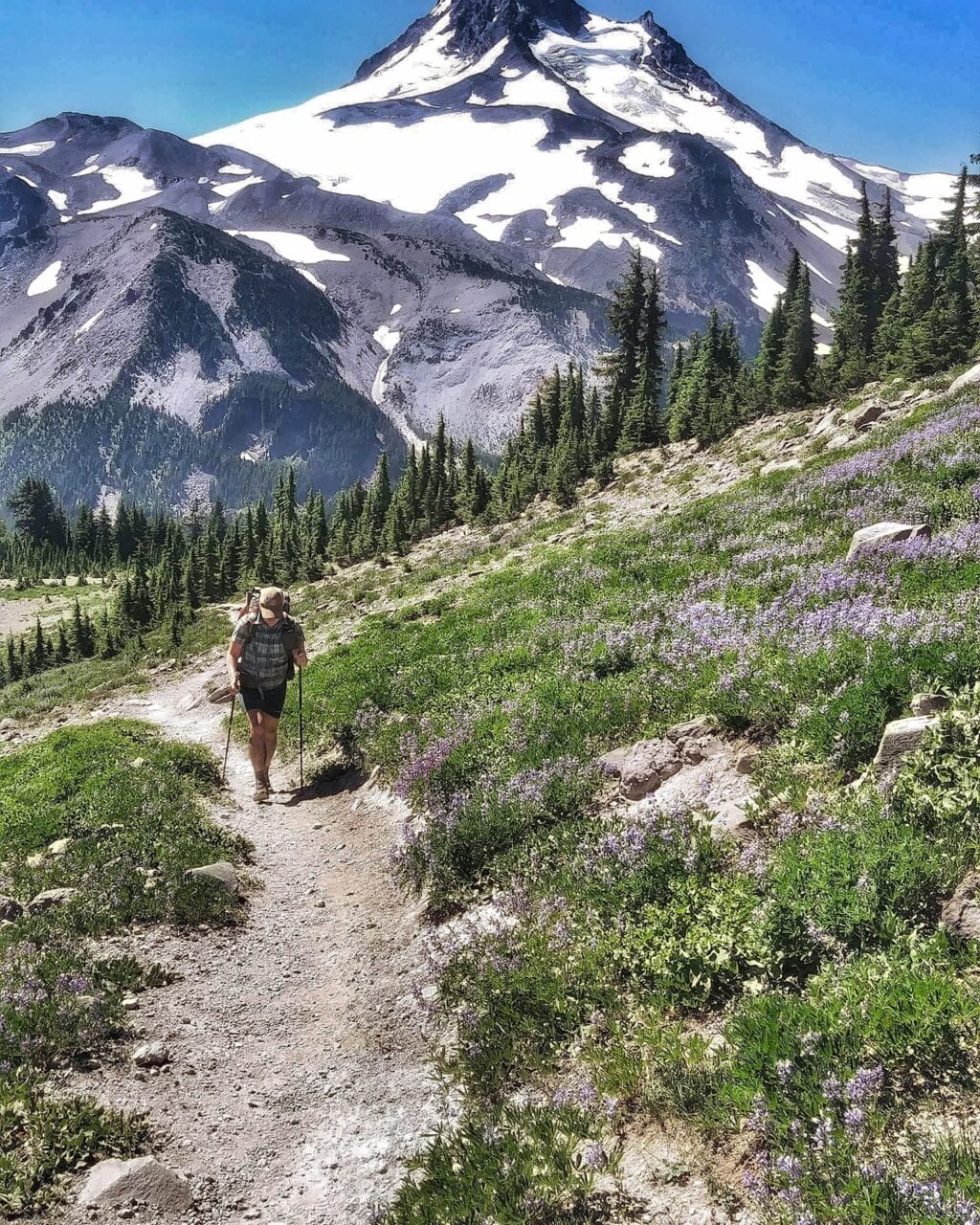
Photo by Heather Anderson
My book, Thirst: 2600 Miles to Home, isn’t a play by play of a Pacific Crest Trail thru-hike. It’s about how the 1% of time spent on the trail opened me up to myself. The stories I never thought were worth sharing have become a way for me to connect with others through shared experiences. We are on a journey together, even when we’re not on the same path.
Autographed copies of Thirst: 2600 Miles to Home can be purchased from https://squareup.com/store/Anishhikes . Unsigned copies are available from Mountaineers Books. More order info is available on Anish’s website: anishhikes.wordpress.com.
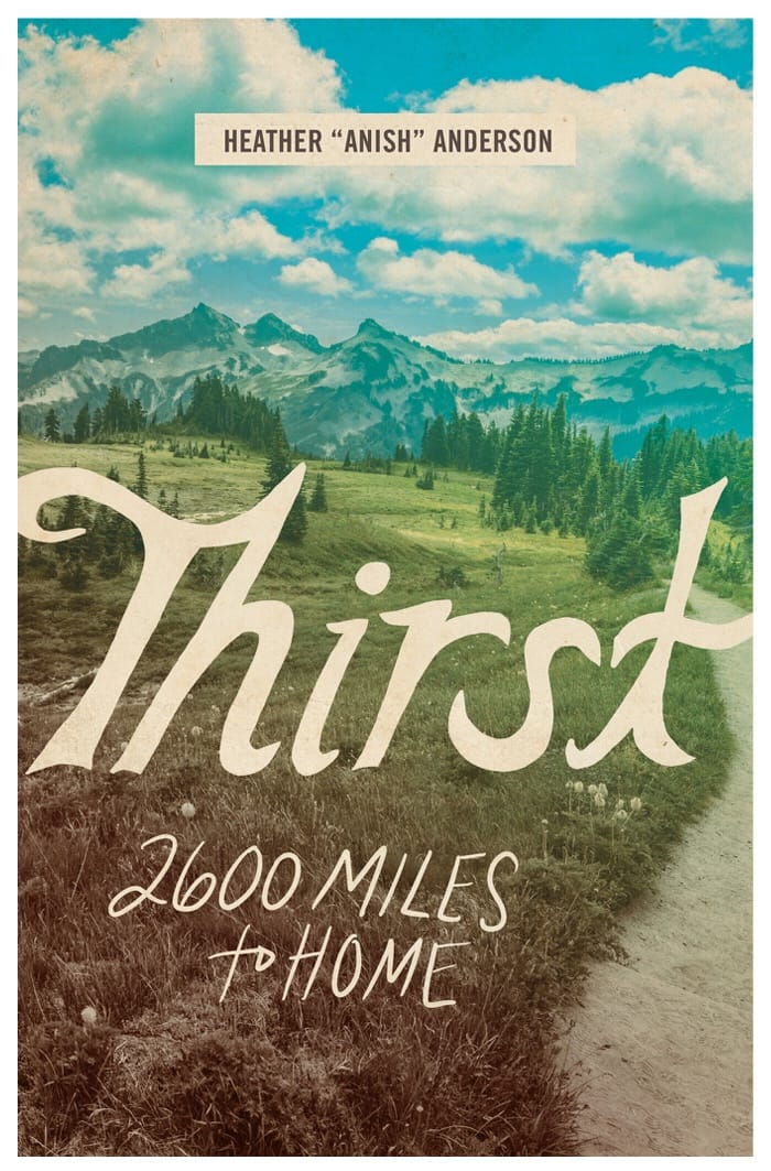
Photo by Heather Anderson
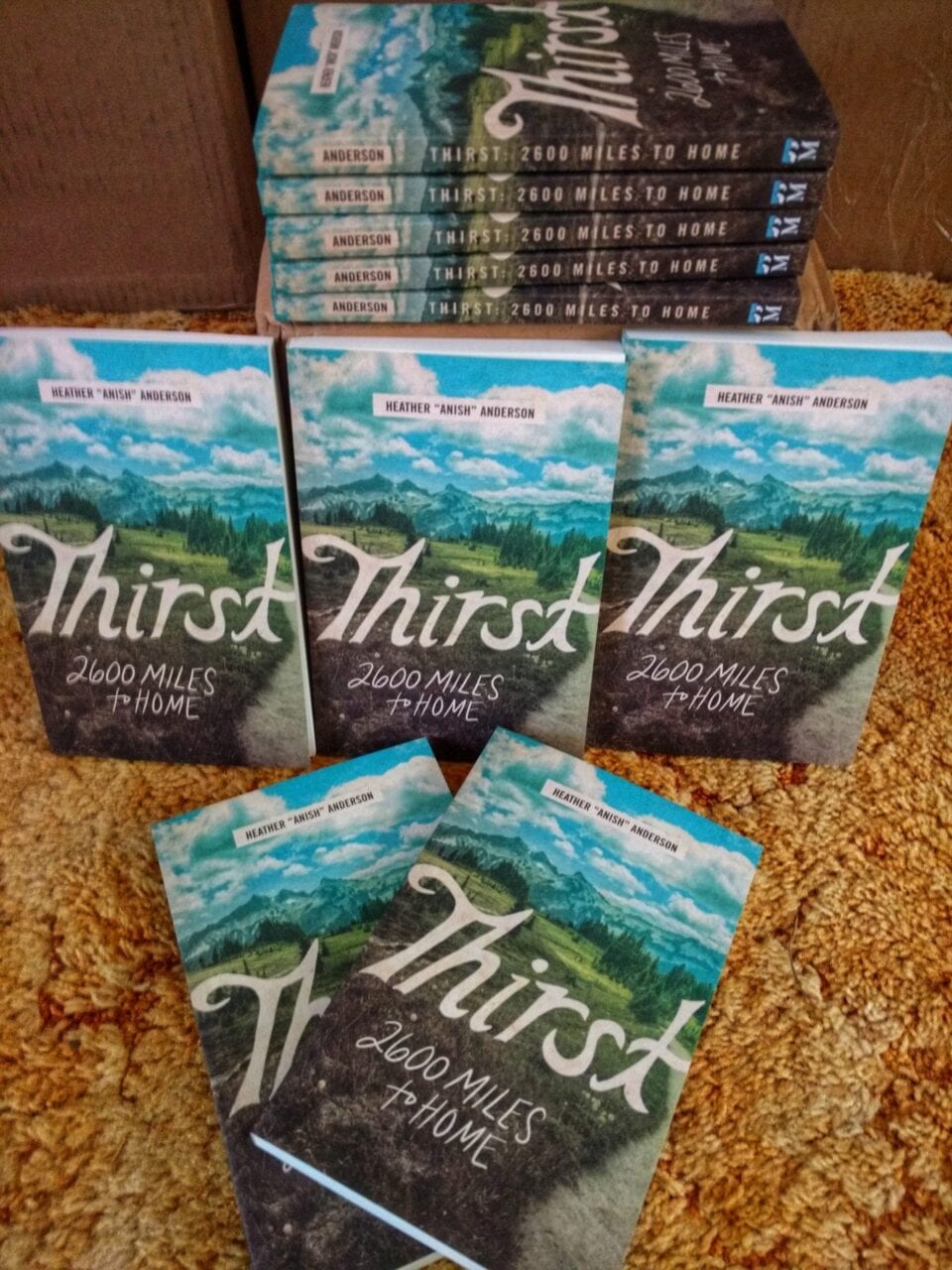
Photo by Heather Anderson
Want to keep up with all that’s going on at Atlas Guides? Sign up for our newsletter!
Read more!
Check out some related blog posts!
Get our trail guide for this area!
Pacific Crest Trail
The Pacific Crest Trail is an epic journey of three states and over 2600 miles. Its path travels from the US border with Mexico to the northern border with Canada.
2650 mi (4260 km) $29.99 full guide
Washington, Pacific Crest Trail
Photo by Justin Helmkamp
Washington, Pacific Crest Trail
Photo by Justin Helmkamp
Pacific Crest Trail
The Pacific Crest Trail is an epic journey of three states and over 2600 miles. Its path travels from the US border with Mexico to the northern border with Canada.
2650 mi (4260 km)
$29.99 full guide
Get our trail guide for this area!
About the Author
Natalie McMillan
Natalie grew up hiking in Arizona where she fell in love with the outdoors. Her favorite hikes are to Havasu Falls in the Grand Canyon and Angel’s Landing in Zion National Park, UT. She loves taking pictures of people, places, and nature, which might explain why she has almost 47,000 photos currently residing on her phone. She takes care of all things related to social media and marketing and recently moved to Denver, CO from Flagstaff, AZ. You may find her frolicking around the trails and mountains of Colorado, or exploring the new city she gets to call home.
My Trail Story by Craig Fowler
Planning an adventure? Check out our popular trail guides! 4.8 stars (17K+ ratings)
Photo by Craig Fowler
My Trail Story featuring Craig Fowler
Craig Fowler shares his story of how he became a thru-hiker and bikepacker, and how he turned his passions into a full-time project.
Natalie McMillan My Trail Story 02/13/2019
Natalie McMillan
My Trail Story
02/13/2019
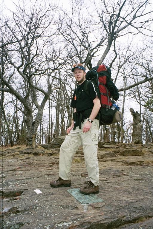
Photo by Craig Fowler
I first thru-hiked the Appalachian Trail in 2001. My journey started a few weeks shy of my 13th birthday, with a day hike up Mt. Katahdin in 1985 while on vacation in Baxter State Park. This is where the seed was planted to thru-hike the entire AT. Sixteen years later, in 2001, I took my first steps northbound on the AT. I finished 153 days later, a changed person.
I was always the one who wanted to see what was around the next corner whenever I went on walks with my late Grandfather. I was a curious child for sure. I think this is why when I got my first bicycle I fell in love. My bike allowed me to go further, see more, and simply gave me more freedom.
I was one of those people who get “hooked” as others like to say. I knew from the time I finished the AT that I would go on to do the Pacific Crest Trail (PCT). I even moved to Seattle to be closer to the PCT and then to Colorado for the Continental Divide Trail (CDT). The AT had sunk it’s claws in me. Being the geek that I am, I like to compare the AT to the Terragin Crystals in the Marvel Universe. If you have the mutant gene in you, the Terragin awakens it, giving you your powers.
I like to think exploring, wanderlust, the need to see more, or what’s around every corner was always in me, and the AT truly awoke it. It changed me and made me who I am now. I could never go back to a “normal” life. The AT gave me a small taste of a larger world, a world I wanted to explore.
By 2003 I hit the Long Trail as an Ultralighter. Next was the PCT in 2007 (which included riding my bicycle from Seattle, WA to the southern terminus of the PCT and then riding home from Manning Park to Seattle), and finally I completed my Triple Crown in 2015 by thru-hiking the CDT. 30 years later that seed had fully matured.
After completing a 30 year dream I was left pretty depressed throughout 2016. In the Fall of that year I had had enough and sat myself down and came up with a new goal. I had seen the movie “The Martian” starring Matt Damon, where he’s trapped on Mars alone. During his time there he realizes he’s the only person to ever be alone on a planet. This struck a cord deep inside me. I wondered what I could do to be the only person to have done something.
After some research I determined no one had done both the Thru-hiking and Bikepacking Triple Crowns before. Being a cyclist for 27 years, at this point it was a natural fit. I had already tried so many cycling disciplines from cross country to downhill to cyclocross to endurance racing. Bikepacking had been on my short list for a while.
Bikepacking after all is basically hiking but with your bicycle. It was then I decided to complete the Bikepacking Triple Crown, which includes the Arizona Trail Race, from the Mexico border to the Utah border, 757 miles; Tour Divide, from Banff, AB to Antelope Wells, NM, 2660.8 miles; and the Colorado Trail Race, from Durango to Denver, 538.9 miles, in the same year.
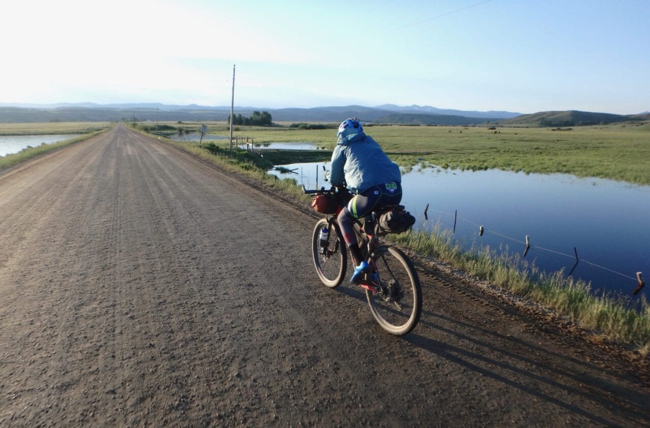
Photo by Craig Fowler
From June to October of 2017 I completed all three bikepacking races and became One of Seven Billion. This is where the name of my project came from, the One of Seven Project. When I started it, the goal was a personal one. But I always knew I wanted to grow the Project into something bigger, I just didn’t know what when I started it.
For years I had been enjoying great trails across the country, both on my bike and on foot. I always wanted to give back. The little bit of trail work I had done wasn’t enough. I wanted the Project to help others experience what I had.
As the Project unfolded many things became apparent to me. One that really stood out was we’re all born One of Seven Billion with our own DNA, but not all of us choose to celebrate that uniqueness. From this realization and others, I formed the Project’s Core Values and found the new focus of the Project.
Encourage others to truly know themselves and their passions.
Assist others in celebrating their uniqueness by following those passions that make them unique.
Humanize adventure.
Help others be the best version of themselves.
A big part of of the Project’s focus is about breaking down both mental and physical barriers keeping us all from following our passions. To help break down those barriers I created four first of a kind Bikepacking Guides:
Bikepacking is fairly new, and as a result there wasn’t the kind of guides the hiking world has in place. This was a barrier I could help remove, so I built guides with what I learned during my bikepacking triple crown. If I’m being honest I was inspired by the gang at Guthook. My goal was to make it easier for others to get out on the trail and experience the outdoors.
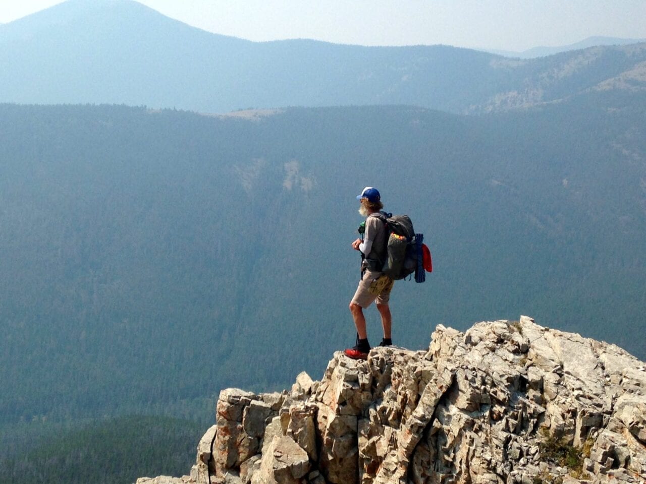
Photo by Dahn Pratt
The information out there is spread across the web, and finding it is overly time consuming. I saw no point in keeping the knowledge I gained over all those years to myself and sought to combine it with what is online. By combing it all into one location, the barrier of finding it would hopefully be removed, resulting in more people getting outside or following their passions.
In 2019 I plan to produce two more Bikepacking and six Hiking Guides to add to the four mentioned above.
- Coconino 250
- The Lake Trail (Cycling loop around Lake Tahoe)
- Long Trail
- John Muir Trail or Colorado Trail (hiking)
- Appalachian Trail
- Pacific Crest Trail
- Continental Divide Trail
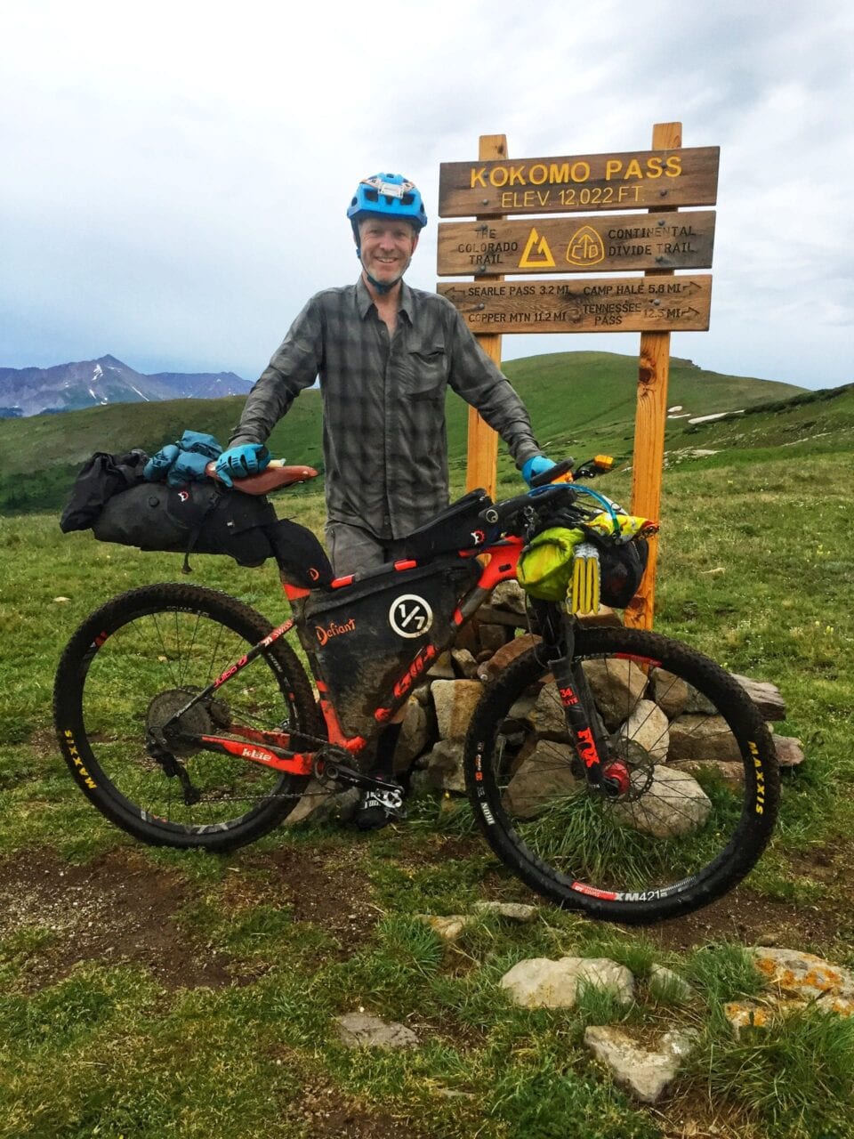
Photo by Craig Fowler
Accompanying these guides I have produced Bikepacking and Hiking Resources to further help others follow their passions.These Resources are blog posts/pages, where I share what I have learned, in hopes of making the process of following one’s passions easier. Going into the hiking forums online, I saw people asking the same questions I had when I started. It’s the Project’s goal to answer as many of those as it can.
Overall my journey is probably not that different from others but with it’s own twist. Like me, it’s unique. I might have taken my exploring further than some or less. In the end I’m just another thru-hiker who realized that the life I had before the trail wasn’t the one for me. I’ve forgotten that feeling many times but finally I’m listening.
For more inspiration checkout the Project’s Passion Profiles — a collection of short interviews meant to inspire, motivate, and to help break down barriers that might be holding you back from following your own passions.
To learn more about the One of Seven Project, its mission, and what it has to offer you, please visit the website or reach out to me at info@oneosfsevenproject.com.
Want to keep up with all that’s going on at Atlas Guides? Sign up for our newsletter!
Read more!
Check out some related blog posts!
Get our trail guide for this area!
Appalachian Trail
The Appalachian Trail is one of the oldest National Scenic Trails in the US. Its path takes you from Springer Mountain in Georgia to Mt. Katahdin in Maine.
2200 mi (3540 km) $59.99 full guide
Pennsylvania, Appalachian Trail
Photo by Zoë Symon
Pennsylvania, Appalachian Trail
Photo by Zoë Symon
Appalachian Trail
The Appalachian Trail is one of the oldest National Scenic Trails in the US. Its path takes you from Springer Mountain in Georgia to Mt. Katahdin in Maine.
2200 mi (3540 km)
$59.99 full guide
Get our trail guide for this area!
About the Author
Natalie McMillan
Natalie grew up hiking in Arizona where she fell in love with the outdoors. Her favorite hikes are to Havasu Falls in the Grand Canyon and Angel’s Landing in Zion National Park, UT. She loves taking pictures of people, places, and nature, which might explain why she has almost 47,000 photos currently residing on her phone. She takes care of all things related to social media and marketing and recently moved to Denver, CO from Flagstaff, AZ. You may find her frolicking around the trails and mountains of Colorado, or exploring the new city she gets to call home.
My Trail Story by Larry
Planning an adventure? Check out our popular trail guides! 4.8 stars (17K+ ratings)
Photo by Lani Advokat
My Trail Story featuring Larry
Lani Advokat, a.k.a. Larry, has thru-hiked the John Muir Trail, Tahoe Rim Trail, Pacific Crest Trail, and the Colorado Trail in the last four years. Check out what she has to say about her experiences thru-hiking.
Natalie McMillan My Trail Story 02/13/2019
Natalie McMillan
My Trail Story
02/13/2019
What is your trail name?
Larry
What trail(s) did you hike?
John Muir Trail 2015, Tahoe Rim Trail 2016, Pacific Crest Trail 2017, Colorado Trail 2018
How old are you?
35 years
Would you do another thru-hike? If yes, which trail is next?
Yes! Next up: Continental Divide Trail or the Arizona Trail.
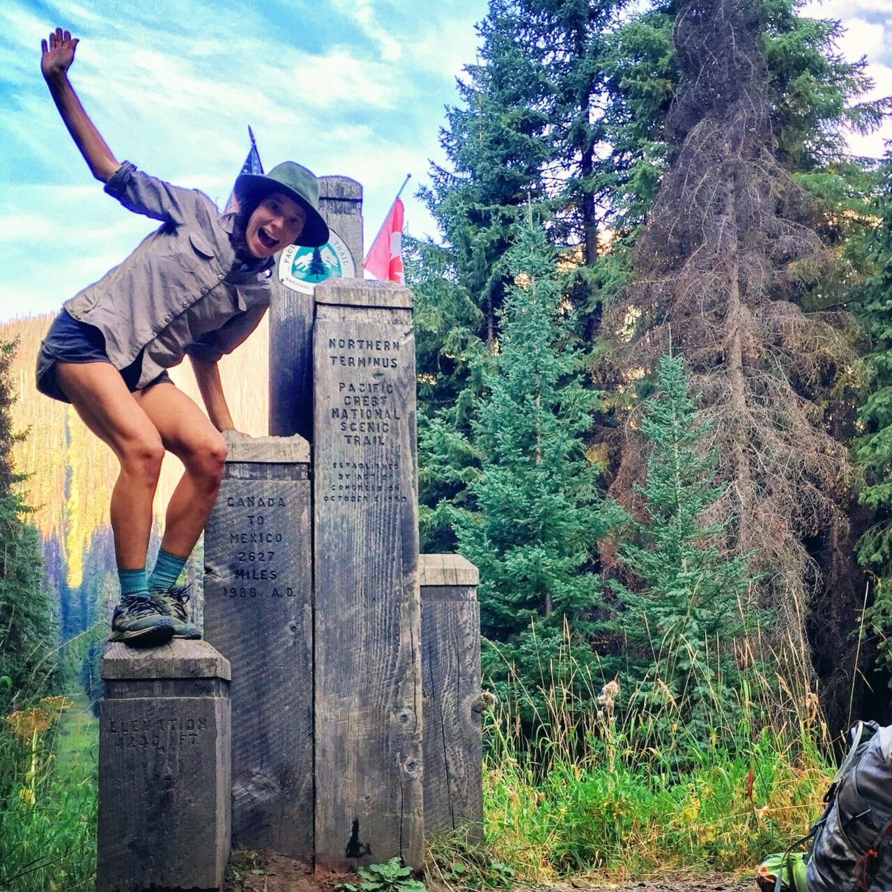
Photo by Lani Advokat
What advice would you give to someone who has never done a thru-hike before?
Trust yourself and don’t let fear stop you from taking that first step. I would recommend testing out your gear in advance, going on a few practice hikes, and getting yourself on a regular exercise routine (if you don’t already have one). That being said, I met plenty of people who had never backpacked, or camped, before starting the PCT. Once you begin your long thru-hike you will get in shape as you go along and you can always change up any gear or systems that aren’t working. So, I repeat my first sentence of advice…don’t let excuses hold you back!
What was the easiest/hardest part about your thru-hike?
The easiest part of the hike was walking.
The hardest part of the hike was coming home (and the winter storms that befell us in October). Transitioning from trail life back to city life in Los Angeles was much more challenging than I thought it would be. I found that continuing to be in the mountains daily (trail running), along with my yoga practice and staying in touch with friends from trail to be the most helpful.
My partner, “Cosmo,” and I met on day 3 of the Pacific Crest Trail and have been side by side ever since 🙂
Photo by Lani Advokat
What do you wish you had done differently?
Next time I would like to try for bigger daily miles, less time spent in towns and I would like to pack out more whole foods.
What do you miss the most?
The community, my trail family, and the mental freedom that comes with waking up everyday knowing what I will wear, what I will eat, and the direction that I need to go.
What was your favorite feature in our app?
The elevation map and up to date hiker comments (this was especially important with water sources).
What was the one thing you had to have with you while you hiked?
Snacks
Why did you decide to go on a thru-hike in the first place?
I felt ready.
Did you hike solo or with other people?
I started solo and then met folks on the third day that I hiked most of the trail with, including my current partner 🙂
What part of the trail was your most/least favorite?
I felt strongest and happiest in the desert, but the Sierra will always be my favorite place. To read about every day I spent on trail check out my blog at www.laniadvokat.com.
How many pairs of shoes did you go through?
4
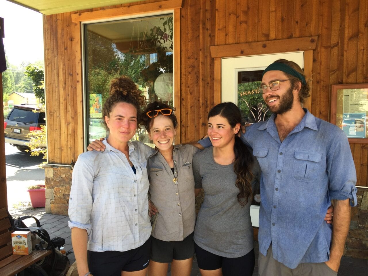
Photo by Lani Advokat
What was the scariest part of your hike?
The water crossings in the Sierra. The high snow levels in 2017 made very dangerous, and deadly, water crossings in the Sierra.
Did you ever reach a point where you wanted to quit? How did you stay motivated to finish?
It was hard to stay motivated once the forest fires hit. The heavy smoke started to impact the hike in Northern California and once we got close to Mt. Shasta, most of the trail in Oregon had been closed due to fire. We knew that if we wanted to continue our hike we would have to flip up to Washington. It was disheartening to have to change our plans, and to know so much of the trail was being devastated all around us.
The closures in Oregon caused the trail to drastically thin out. Most folks did not want to bother with the logistical nightmare that was ahead of us trying to navigate the closures. My trail family kept me motivated. I had a small crew that stayed together to complete the trail. The positive energy and support of the hikers I traveled with was such an important motivator in the second half of the trek!
Want to keep up with all that’s going on at Atlas Guides? Sign up for our newsletter!
Read more!
Check out some related blog posts!
Get our trail guide for this area!
Pacific Crest Trail
The Pacific Crest Trail is an epic journey of three states and over 2600 miles. Its path travels from the US border with Mexico to the northern border with Canada.
2650 mi (4260 km) $29.99 full guide
Washington, Pacific Crest Trail
Photo by Justin Helmkamp
Washington, Pacific Crest Trail
Photo by Justin Helmkamp
Pacific Crest Trail
The Pacific Crest Trail is an epic journey of three states and over 2600 miles. Its path travels from the US border with Mexico to the northern border with Canada.
2650 mi (4260 km)
$29.99 full guide
Get our trail guide for this area!
About the Author
Natalie McMillan
Natalie grew up hiking in Arizona where she fell in love with the outdoors. Her favorite hikes are to Havasu Falls in the Grand Canyon and Angel’s Landing in Zion National Park, UT. She loves taking pictures of people, places, and nature, which might explain why she has almost 47,000 photos currently residing on her phone. She takes care of all things related to social media and marketing and recently moved to Denver, CO from Flagstaff, AZ. You may find her frolicking around the trails and mountains of Colorado, or exploring the new city she gets to call home.
My Trail Story by Yuengling
Planning an adventure? Check out our popular trail guides! 4.8 stars (17K+ ratings)
Photo by Alec Santiago
My Trail Story featuring Yuengling
Alec Santiago, a.k.a. Yuengling, shares a few stories from his experience thru-hiking the Pacific Crest Trail.
Natalie McMillan My Trail Story 02/06/2019
Natalie McMillan
My Trail Story
02/06/2019
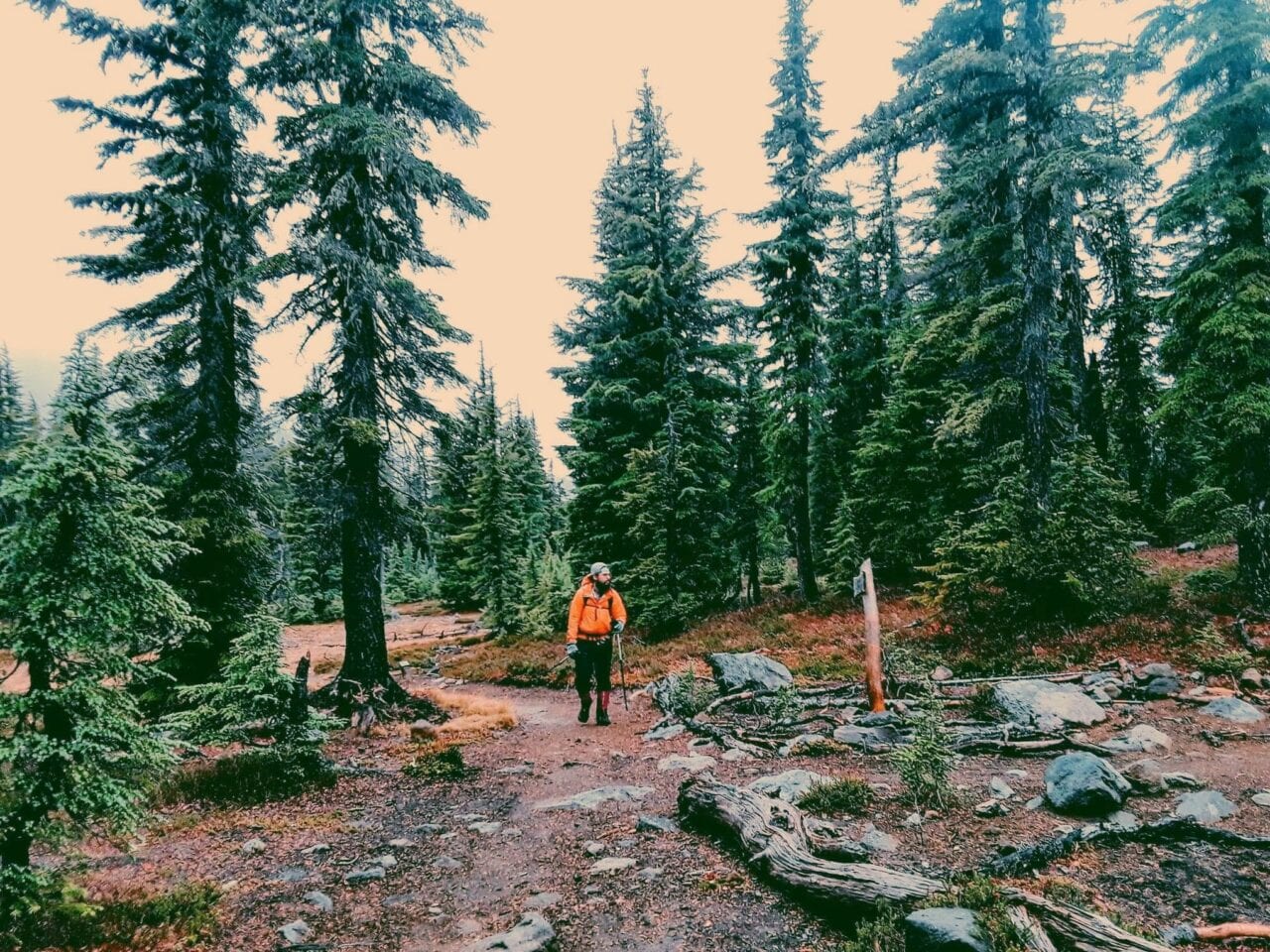
Photo by Alec Santiago
What is your trail name?
Yuengling
What trail did you hike?
Pacific Crest Trail ’17 and ’18
Where are you hiking next?
Plans are set for Calendar Year Triple Crown, kicking off from Campo Feb 25th
How old are you?
25 years
What was one thing you wish you knew before you started?
If bluntness is necessary, I wish I had even an inkling on how the trail was going to change me. Right out of college I landed a comfy 6-figure job running logistics on biohazard materials being shipped via UPS. Who could complain about a job that paid off one’s student debt within months, setting a 22 year old on a path to do whatever he pleased? Even after buying all the toys I could ask for, doing whatever I could to remain forever young, I felt dead inside. Friends used to joke around that I was the “grandpa of the group” (I guess the khakis and cardigans didn’t do justice in my defense.). One more job change, yet the same feeling, I moved out west with relatives for a change in scenery.
A weird bet placed in bingo at the local casino came with unexpected shear luck, and a young man with a large wallet had doors swinging wide open for him once again. Several splurges at REI, a horrible failure of a shakedown hike, and a handful of miserable bus transfers later, this guy found himself in San Diego, CA only for a trail angel by the name of “Scout” to scoop up for the ripening. It was then I knew I was in too deep. There was no going back. I was officially going to be a hiker. To think those heavy first steps would only grow equivocally stronger and lighter, lessening the impact of the old lifestyle on myself, and perhaps inversely metaphorically, strengthened my desire to make an impact in the hiker community. I believe we all can have a character to play, if we so choose, and, even to this day, mine is just starting to develop into its supporting figure- one day earning its chance at a leading role.
Photo by Alec Santiago
What was your favorite food on the trail?
One dish I hope never leaves my palate’s memory was this curry a hiker had made for the congregation at BudPharm, home to the trail angel “Reverend Dave” just outside of Wrightwood, CA. Recently from Alaska, a 6’ 11” gentleman by the name “Penguin Pants” was already wowing the crowd with his mere presence. Having spent the last few days helping Reverend Dave cater to the hiker trash alongside this gentle giant, we had made a decision to cook for everyone instead of the usual potluck as was routine at the house.
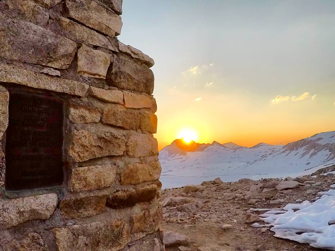
Photo by Alec Santiago
I wish I could even begin to describe the details to such a dish – one I would register as a curry – but I wouldn’t be doing the artist any justice. Penguin Pants had commented on the ingredients as “a pot full of Southern hospitality, the grit of the Far Northwest (I’m assuming a reference to Alaska), with a splash of Midwest simplicity.” If I haven’t lost the reader yet, picture a curry made to a biscuit and grits-esque consistency but not losing the feel of a good ol’ pot roast. Turmeric had tinted the color to something quite repulsive but the flavors and mouth watering sensation pushed one for seconds, hiker-hunger or not!
As if the remarkable artistry and pure awe in stature wasn’t enough, I bared witness to his cooking utensils: a 6 pound cast iron skillet and lid, with quite a canister of fuel and an impressive selection of spices. I’m honored to have met this walking soul and was stricken with sadness as we set off on our own in Kennedy Meadows as I set off to blitz through the Sierras and he was more than willing to fish every lake possible along the way.
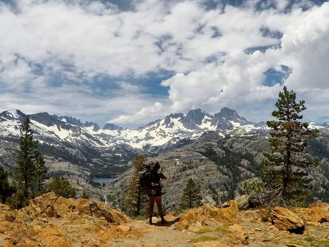
Photo by Alec Santiago
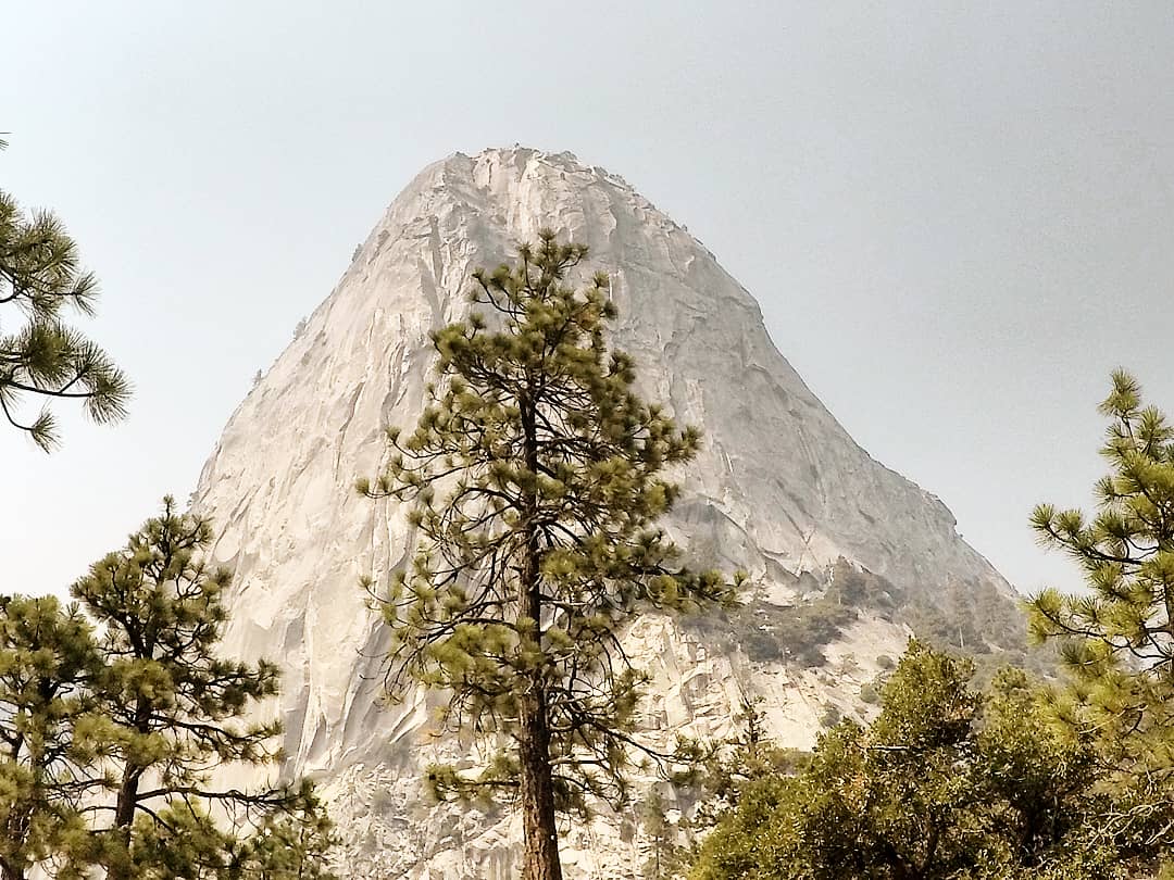
Photo by Alec Santiago
What advice would you give to someone who has never done a thru-hike before?
Never quit on a bad day. After a foggy and drenched climb over Mt. Baden-Powell, I lost sight on why I was hiking the PCT again. Doing the desert all over seemed stupid and a waste of my time. Once I reached the beginning of the endangered frog detour, I threw a thumb up and headed straight back to Wrightwood. It was a bad, bad day. After talking to a hiker who was on the verge of quitting herself, we both came to realize it was “just a bad, bad day.” The bigger thought was “What difference was this bad day from any other bad day?”
It came down to the demand on the hike when there’s always things that we won’t have control over. There’s going to be crappy weather and views just may not be what you expected. With nearly 8 billion people in the world, there’s bound to be unwelcoming individuals, but that’s no excuse to give up on your hike. The Pursuit of Happiness; that is yours and for you to hold dearly. Never quit on a bad day.

Photo by Alec Santiago
Photo by Alec Santiago
What was your favorite feature in our app?
I loved the simplicity as well as the ability to comment on landmarks along the way. I even appreciate the several “alternatives” and even a few Mark’s on old sections of the trail. I think it’s pretty cool to see even the physical history of the trail, eyeing out the routes and getting a feel of what hikers experienced years ago. Guthooks is like a biography being written as it’s lived!
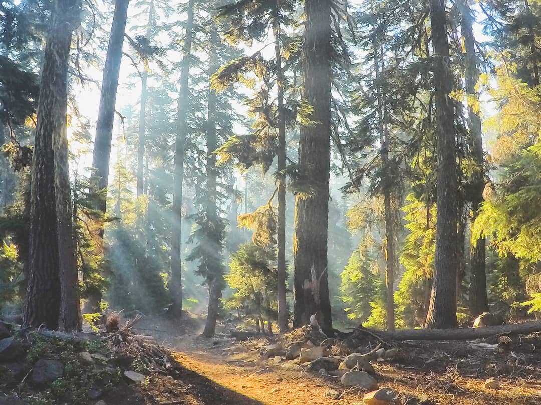
Photo by Alec Santiago
Want to keep up with all that’s going on at Atlas Guides? Sign up for our newsletter!
Read more!
Check out some related blog posts!
Get our trail guide for this area!
Pacific Crest Trail
The Pacific Crest Trail is an epic journey of three states and over 2600 miles. Its path travels from the US border with Mexico to the northern border with Canada.
2650 mi (4260 km) $29.99 full guide
Washington, Pacific Crest Trail
Photo by Justin Helmkamp
Washington, Pacific Crest Trail
Photo by Justin Helmkamp
Pacific Crest Trail
The Pacific Crest Trail is an epic journey of three states and over 2600 miles. Its path travels from the US border with Mexico to the northern border with Canada.
2650 mi (4260 km)
$29.99 full guide
Get our trail guide for this area!
About the Author
Natalie McMillan
Natalie grew up hiking in Arizona where she fell in love with the outdoors. Her favorite hikes are to Havasu Falls in the Grand Canyon and Angel’s Landing in Zion National Park, UT. She loves taking pictures of people, places, and nature, which might explain why she has almost 47,000 photos currently residing on her phone. She takes care of all things related to social media and marketing and recently moved to Denver, CO from Flagstaff, AZ. You may find her frolicking around the trails and mountains of Colorado, or exploring the new city she gets to call home.
My Trail Story by Token
Planning an adventure? Check out our popular trail guides! 4.8 stars (17K+ ratings)
Photo provided by Kathleen Neeves
My Trail Story featuring Token
Read about what it's really like to thru-hike the Pacific Crest Trail, by Kathleen Neeves, a.k.a. Token.
Natalie McMillan My Trail Story 02/06/2019
Natalie McMillan
My Trail Story
02/06/2019
What is your trail name?
Token
What trail(s) did you hike?
Thru-Hiked the Pacific Crest Trail in 2018
April 25, 2018 through September 27, 2018 – 153 Days!
How old are you?
42 years old
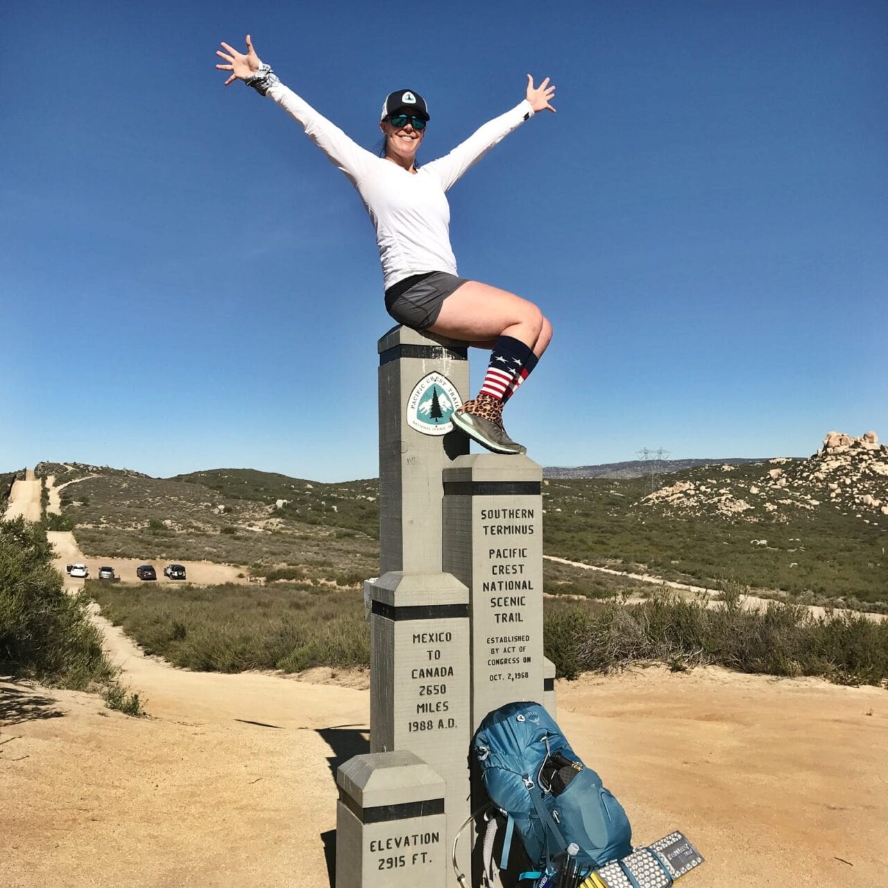
Photo by Kathleen Neves
What was one thing you wish you knew before you started hiking?
I wish I knew I didn’t have to spend so much time trying to plan my hike. Granted, it’s important to plan things like applying for a long-distance hiking permit through the PCTA to get your official start date, putting together some sort of resupply strategy, knowing the gear you want to take and practice using it before getting on trail and making sure life logistics are figured out before starting your hike. When I planned my first thru-hike on the PCT for 2018, I tried to plan EVERYTHING. It’s impossible to plan every single step of a thru-hike. It’s impossible to know how your body will react to all the daily hiking. It’s impossible to know what kind of weather you’ll hike in. It’s impossible to know how hungry you’ll be, what you’ll want to eat and even what towns you’ll want to stop in. The thing with thru-hiking is plans are always changing. So don’t get hung up and waste a lot of time trying to plan your thru-hike. Have a “loose” plan, but be flexible and don’t be afraid to go with the flow. The best things that happen on trail are always the things you don’t plan.
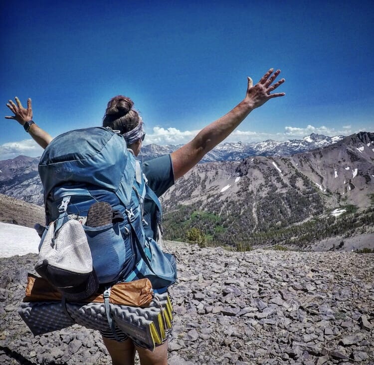
Photo by Kathleen Neeves
What was your favorite food on the trail?
My favorite food I ate on trail didn’t require boiling water to cook and it wasn’t stored in my food bag. The best food I had was whenever I was in town, taking a break. It’s hard to pick one favorite meal I ate during the 153 days I spent on trail, so I have a Top Five list of favorite meals I ate along the PCT:
- Lunch at Packer Lake Lodge, Mile 1207.3: A 0.7-mile road walk from Pack Saddle Campground. I found this spot by reading the comments for the campground on the Guthook Guides app.
- Red House BBQ in Tehachapi. Easily the best BBQ I had on trail.
3. Chicken Alfredo Penne Pasta at Mono Hot Springs, a short five mile hitch from VVR in the High Sierra, across Lake Edison.
4. The home cooked meal prepared for Grit and me by a couple members of our trail family at a campsite in Mammoth.
5. Filet mignon with garlic mashed potatoes and broccolini at the Bar of America Restaurant in Truckee.
If I had to pick my favorite hiker food on trail, it would either be pork flavored Top Ramen or the Mountain House Chili Mac dehydrated meals. I saved the Mountain House meals for days when I needed a morale boost on trail, which was pretty much all of Washington from White Pass to Canada.
What advice would you give to someone who has never done a thru-hike before?
I have three pieces of advice for anyone new to thru-hiking. First, take each day, one mile and one step at a time. Instead of looking at hiking the PCT as a big daunting task of hiking 2,650 miles in five months, look at the trip as multiple, mini-backpacking trips where you’ll go into town to resupply for the next section (or trip) every three to five days. Second, open yourself to believing something magical will happen every single day you’re on trail. When you believe the trail will provide, it will. And third, don’t ever quit on a bad day. Not every day is going to be sunshine and ridgeline views. There are going to be plenty of days that suck out there. Know those bad days will pass and they’ll only make you stronger.
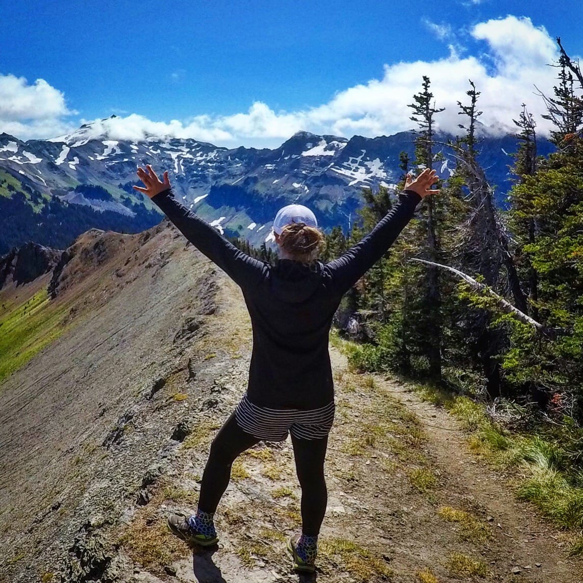
Photo by Kathleen Neves
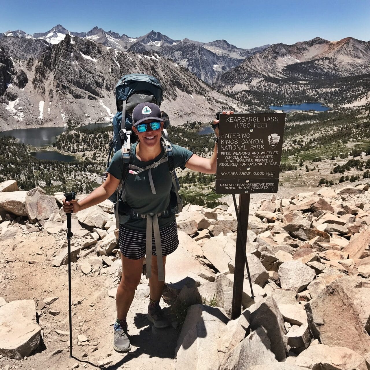
Photo by Kathleen Neves
What does thru-hiking mean to you?
What a lot of people don’t realize about thru-hiking the PCT is it’s less of a hike and more of a lifestyle. You either love thru-hiking or you don’t and you usually know within the first 100 miles. Hiking is only one part of the PCT. Thru-hiking the PCT is about adapting to a nomadic lifestyle where you rarely sleep in the same place twice. Weather and water sources dictate how you spend your days on trail. There’s no worry about running off to the next appointment or trying to get to work on time. You eat, hike, eat, sleep and repeat. Make the time to take pictures, build relationships with other hikers, take breaks when you’re tired, eat when you’re hungry and stop to smell the wildflowers. There’s always something new to see and no one day is ever the same.
Would you do another thru-hike? If yes, which trail is next?
Yes, in a heartbeat! In 2018, I left to hike the Pacific Crest Trail by myself, for myself. In 2019, I’m coming back to hike the Pacific Crest Trail AGAIN, not only to cover the 770+ miles I missed in 2018, but also for love – my love for the trail and with the love I met while hiking the first 700 miles of the trail last year. This is why on April 11, 2019, I’m coming back to hike the PCT all over again, Round Two, with my boyfriend, Bleeder, my love I met on trail last year.
What was the easiest/hardest part about your thru-hike?
There was nothing easy about thru-hiking the PCT. It felt like it was always one big climb up to Canada. The long, heavy water carries in the desert were brutal. Getting into and out of town meant I was often at the mercy of whoever was nice enough to give me a ride. There were some long waits for hitches along the trail. Having to say goodbye to my entire trail family and spend seven days alone hiking the High Sierra by myself was the hardest thing I’ve ever done in my life. Fording rivers in the Sierra by myself was downright terrifying. Being bitten alive by mosquitos and bugs from Glen Pass all the way through Yosemite was painful. The heavy smoke in Northern California not only interfered with what would be beautiful views, but made it hard to breathe. It was near impossible to enjoy all of the incredible sights in Washington because the cold and wet weather forced me to keep moving just so I could stay warm.
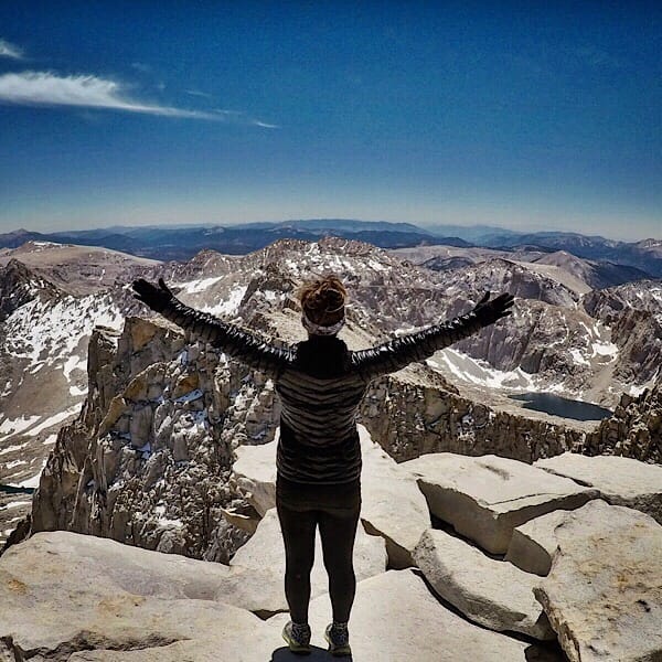
Photo by Kathleen Neeves
Putting all of the hard parts aside, the easiest part of my thru-hike was knowing I was exactly where I needed to be and doing what exactly I needed to do – hiking my way towards Canada. There was nothing else I’d rather be doing, even on my hardest days out on trail.
What do you wish you had done differently?
This is a hard question to answer because had I done anything differently, I would’ve had different experiences along my hike. I’m happy with how my adventure turned out in 2018. I honestly wouldn’t change a thing.
There are a few things I’ll be doing differently for my thru-hike this year. First, I’m starting my hike two weeks earlier than I did last year. Secondly, I’m not solo hiking this year. I’ll be hiking with my boyfriend whom I met on trail in 2018. As for resupplying, I’m only sending myself four resupply boxes on the entire trail, with the first one being in Oregon. For the rest of the way, I’ll be resupplying in town as I go. I’ll be skipping the Bounce Box all together this year. As for gear, I made a couple swaps like using a different inflatable sleeping pad and opting for a lighter trowel. Other than that, I’ll be using all of my same gear I used in 2018 for my hike this year in 2019. I think my biggest change for 2019 will be setting my alarm earlier so I can get an earlier start hiking for the day and watching more sunrises on trail.
Photo by Kathleen Neeves
What do you miss the most?
I miss everything about hiking the PCT. I miss the freedom of going wherever I wanted, whenever I wanted. I enjoyed not knowing what day of the week it was. I loved not having to worry about anything other than feeding myself, making sure I had enough water and getting camp set up before it got dark out. I miss how simple life was on trail. I’d get up, pack up camp, eat, hike, eat, filter water, hike, eat, set up camp and sleep. The biggest decisions I had to make during the day were how many miles I wanted to hike, where I wanted to camp and if I wanted to eat pork or oriental flavored Top Ramen. There’s not a day that goes by where I don’t think about and miss hiking the PCT.
What was your favorite feature in our app?
Having the Guthook app on trail was a godsend. I used Guthook every single day. Guthook kept me from getting lost. It told me where my next water source would be. It gave me a heads up on tent sites. It even told me how big or small my climbs and descents were for each day. Guthook was instrumental in planning my town stops. My favorite feature on the Guthook app though were the comments left by other hikers on all the waypoints – water sources, camping, roads and towns. Through the comments, I was able to discover things I might have otherwise missed like the epic lunch I had at Packer Lake Lodge. The comments were vital in getting detailed information on upcoming trail closures and fire reroutes. The comments were also at times incredibly entertaining and helped keep spirits high in tough sections.
What was the one thing you had to have with you while you hiked?
A positive attitude. Gummy bears, blue powdered Gatorade and music were a close tie for second place.
Why did you decide to go on a thru-hike in the first place?
My original answer was always, “Why not?” Hiking the PCT had been a huge dream of mine for a few years. As soon as I discovered that there was a trail you could hike from Mexico to Canada, I became obsessed with the idea of doing it. Now that I’ve hiked the PCT and want to come back for a second time, people think I’m really crazy and want to know why. My “whys” for coming back for Round Two in 2019 are: (1) See the sections I missed the first time around, about 770+ miles, (2) To thru-hike the entire trail with my boyfriend, Bleeder, (3) Hike the High Sierra again since it was my favorite section of the entire PCT, and (4) because I’m addicted to the thru-hiking, Hiker Trash lifestyle. I’d much rather be dirty, tired and forced out of my comfort zone every day than stuck working inside behind a desk at a job I don’t like.
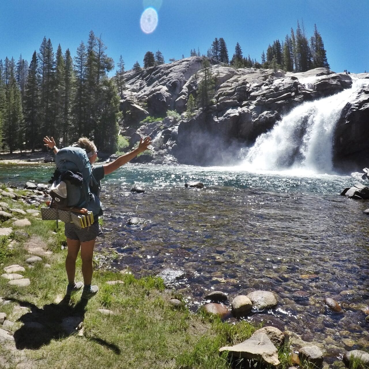
Photo by Kathleen Neves
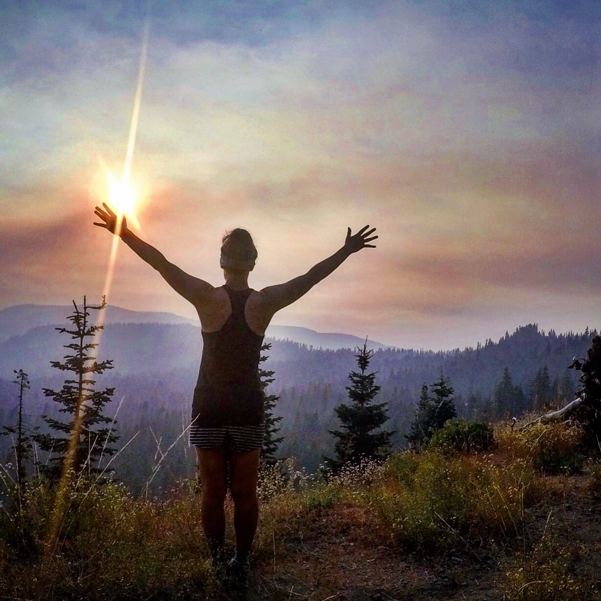
Photo by Kathleen Neves
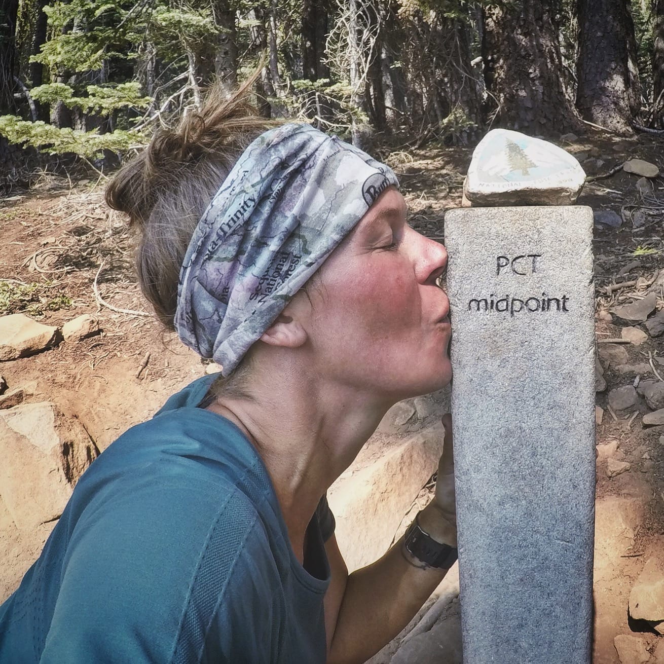
Photo by Kathleen Neeves
Did you hike solo or with other people?
I started my 2018 hike solo. I met four out of the five people in my trail family on my first day on trail. We met the fifth member of our family on Day Three. We were inseparable until shortly after Mile 700 when everyone except for two of us had to leave the trail and go home.
What part of the trail was your most/least favorite?
Hands down, my favorite section of the entire PCT is the High Sierra. It was also the toughest part of the PCT for me. When I went back there for the first time in 2018, I was heartbroken and devastated. I had just said goodbye to my entire trail family. I had just done my first solo hitchhike.
I would have to finally face one of my biggest fears on trail: sleeping outside by myself for the first time in my life. I’d also have to ford scary rivers by myself and deal with being eaten alive by bugs on a daily basis.
Fears aside, as soon as I hiked over Kearsarge Pass, I was overwhelmed with the incredible beauty of the High Sierra. The High Sierra had some of the most beautiful landscapes I’d ever seen in my life. Hiking the High Sierra by myself was the scariest thing I’ve ever done in my life. It was also the most rewarding. I learned a lot about myself over those 200+ miles. I came out of that section a much stronger person and knew I could do ANYTHING I put my mind to.
How many pairs of shoes did you go through?
Three pairs:
Pair #1: Southern Terminus (Campo, CA) to Tehachapi, CA
Pair #2: Kennedy Meadows South to Burney Mountain Guest Ranch, CA
Pair #3: Burney Mountain Guest Ranch to Mount Shasta and then Timberline Lodge to Canada
Had I hiked the entire 2,650 miles of the PCT and not missed 770+ miles, I would have gone through more pairs of shoes. I rocked the Salomon Odyssey Pros for my entire hike.
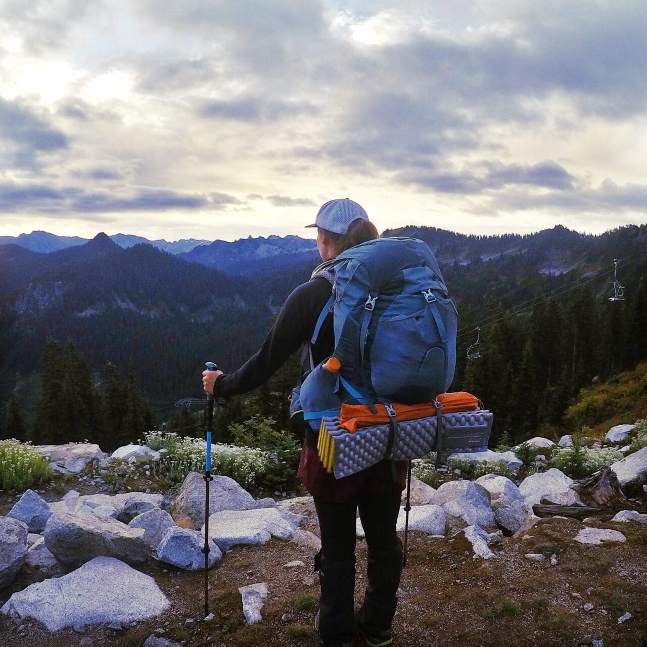
Photo by Kathleen Neeves
Did you ever reach a point where you wanted to quit? How did you stay motivated to finish?
Honestly never. Even on my hardest days, and I had three REALLY tough days, I never considered quitting. On my toughest days, I knew deep in my heart there was nowhere else I’d rather be or nothing else I’d rather be doing than thru-hiking the PCT. On a normal trail day, spending time with members of my trail family, watching the sunrise/sunset, eating gummy bears for breakfast/lunch/dinner, drinking powered blue Gatorade, being wowed by Mother Nature with incredible scenery, getting to the top of a tough climb or knowing I was mere days from a Town Stop with a warm shower, fresh load of laundry, a delicious meal and possibly a warm hotel bed would be enough to motivate me to keep hiking.
Here is what motivated me to get through my three hardest days on the PCT:
Mount Whitney/Going into Lone Pine via the Whitney Portal – The view from the top of Mount Whitney was amazing, but getting up there and getting off of the mountain was incredibly challenging for me. I had two melt downs that day – one when we got to the top of Whitney and one when we were only two miles down the Portal and realized we had another five miles to get to the trailhead. The ONLY thing that got me down the Whitney Portal was planning the dinner I’d have later that night at McDonalds in Lone Pine. I had a Big Mac, two cheeseburgers, large order of fries, a 6-piece chicken nugget and an apple pie. McD’s to the rescue!
Bear Ridge Trail to Vermillion Valley Resort (VVR) – Since this was my sixth day of being in the High Sierra by myself without any sort of cell service, I was desperate to get into town and be around other people. This would also be a big mileage day for me, 25.8 miles, the most physically and challenging day in the High Sierra for me so far. What kept me going all the way to VVR that night, long after the sun had set was fear. There were no other hikers on the Bear Ridge Trail – no one else hiking and no one camping. I was too terrified to stop, set up my tent and sleep out there all by myself. Instead I kept hiking in the dark with my headlamp, even after I took a nasty fall and broke one of my trekking poles and played my music out loud in hopes of keeping the animals away until I reached the hiker tent site at VVR at 10:30pm that night.
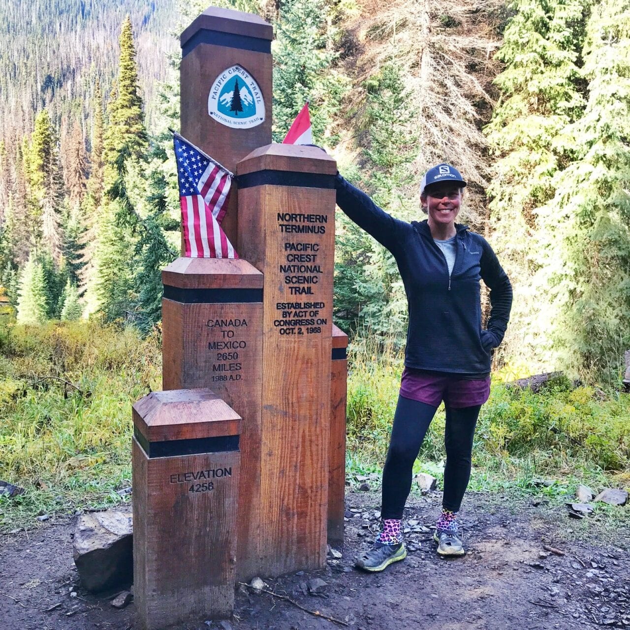
Photo by Kathleen Neeves
Goat Rocks to White Pass Reroute – First, the highly anticipated Goat Rocks section was socked in with thick fog by the time I got there and had to hike through. I could barely see a few feet in front of me, let alone the sheer drop down on either side as I hiked across the snow field and alongside and down the mountain.
Then there was the reroute we had to take after Goat Rocks into White Pass because of the nearby wildfires. The thing about a reroute is no one knows exactly how many miles they are, what the elevation gain/loss is and where the water sources and tent sites are. You’re at the mercy of the maps posted on trail signs and word of mouth from hikers traveling southbound. At this point, you simply hope for the best and keep hiking.
This reroute was tough – the trail was thin and crumbly in places, there were a lot of steep climbs, it was long, there weren’t a whole lot of water sources, there weren’t a lot of other hikers and there was a big river I had to cross two miles from the highway and I fell in as I was doing it leaving me wet and cold. If that wasn’t bad enough, I ended up getting to the highway long after dark, making a hitch into White Pass near impossible. The only thing that motivated me to keep going through this tough section was getting to White Pass for a warm shower and a safe place to sleep. I had also run out of water a mile from the highway.
Just as the tears start flowing down my cheeks and I was thinking of giving up and preparing to set up my tent on the trail a few feet below the highway, a section hiker sitting in his van saw my headlamp. He asked if I was a thru-hiker and then offered me a ride up the highway to White Pass. From there, I was able to rent a warm room at The Village Inn for the night and got my warm shower and safe place to sleep.
Want to keep up with all that’s going on at Atlas Guides? Sign up for our newsletter!
Read more!
Check out some related blog posts!
Get our trail guide for this area!
Pacific Crest Trail
The Pacific Crest Trail is an epic journey of three states and over 2600 miles. Its path travels from the US border with Mexico to the northern border with Canada.
2650 mi (4260 km) $29.99 full guide
Washington, Pacific Crest Trail
Photo by Justin Helmkamp
Washington, Pacific Crest Trail
Photo by Justin Helmkamp
Pacific Crest Trail
The Pacific Crest Trail is an epic journey of three states and over 2600 miles. Its path travels from the US border with Mexico to the northern border with Canada.
2650 mi (4260 km)
$29.99 full guide
Get our trail guide for this area!
About the Author
Natalie McMillan
Natalie grew up hiking in Arizona where she fell in love with the outdoors. Her favorite hikes are to Havasu Falls in the Grand Canyon and Angel’s Landing in Zion National Park, UT. She loves taking pictures of people, places, and nature, which might explain why she has almost 47,000 photos currently residing on her phone. She takes care of all things related to social media and marketing and recently moved to Denver, CO from Flagstaff, AZ. You may find her frolicking around the trails and mountains of Colorado, or exploring the new city she gets to call home.
My Trail Story by Dahn Pratt
Planning an adventure? Check out our popular trail guides! 4.8 stars (17K+ ratings)
Photo by Dahn Pratt
My Trail Story featuring Dahn Pratt
Dahn Pratt shares the jitters he experienced beginning his thru-hike or thru-tramp across New Zealand on Te Araroa.
Natalie McMillan My Trail Story 01/31/2019
Natalie McMillan
My Trail Story
01/31/2019
Photo by Dahn Pratt
A Jittery Thru-Hike Begins
By: Dahn Pratt
Te Araroa, 17 Nov 2017 – 17 Mar 2018
Age: 27 years old
It had been a number of years since setting foot on a “serious” trail and attempting to tackle a multi-month adventure.
My first steps onto the lighthouse of Cape Reinga, the northernmost point of the North Island of New Zealand was anxiety-inducing, to say the least. I had been planning this trip for the better part of two years and to finally be at the trailhead made my heart palpitate. A mixture of stress, nervous excitement, and adrenaline coursed through me as I put on my pack for what would be a 4 month walk.
The goal was to thru-tramp the length of both islands of New Zealand along Te Araroa, or the Long Pathway, a 3,000 km trail.
Many months removed from this initial contact I look back at the euphoric hiker that started this escapade. That feeling of eager enthusiasm for the many soggy ups and downs the trail would invariable throw my way is an emotion I find myself chasing, even today.
A thru-hike never really turns out the way you anticipate, no matter how much prior knowledge, experience, and planning you have. The often times schizophrenic Te Araroa is no exception. Within the first day, I had to throw out my playbook as howling winds gusting at upwards of 60 kph shredded my tie outs to my tarp, collapsing the wet fabric onto me as brave possums stormed my shelter to devour my rations.
Photo by Dahn Pratt
The notoriously rainy and muddy Northland provided me with 6 weeks of clear blue skies after that harrowing night. A record 3(!) cyclones hit NZ during the four months I walked its length with constant flooding, blow downs, and at one point half a meter of snow! Flooded, impassable rivers forced me to take 3 days off in a backcountry hut, even though I had walked for two months without taking a zero.
The trail provides challenges, it is your choice how you tackle the obstacles it lobs at you. Most people opt to hitch, other detour, and some masochists walk. It is in the walk, the minutiae of the hike, where one finds their truth.
The one salient take-away is the trail provides ample time for self-reflection and self-actualization. Devoid of the distraction we experience in the “real world”, the trail makes life simple. Wake up, tear down, eat, walk, eat, walk, sleep. The monotony of it drives people insane. The sheer boredom causes unpleasant thoughts and experiences to creep in. This is important, the trail is a therapeutic endeavor, one that allows you to tackle the physical challenges and the intangible ones as well.
I had long forgotten this dimension of hiking and when faced with it’s reality, I felt incredible discomfort. But in that discomfort and confronting my past regrets, foibles, triumphs, and failures is where growth occurs.
There is something so pure and innocent about that person who took those first steps with a permanent grin glued to his face. He isn’t the same person that sits here reminiscing. They say a thru-hike changes you, and not in ways you can predict and that’s certainly true. Te Araroa changed me, well beyond expectation. It peeled back everything until all that was left was my true self.
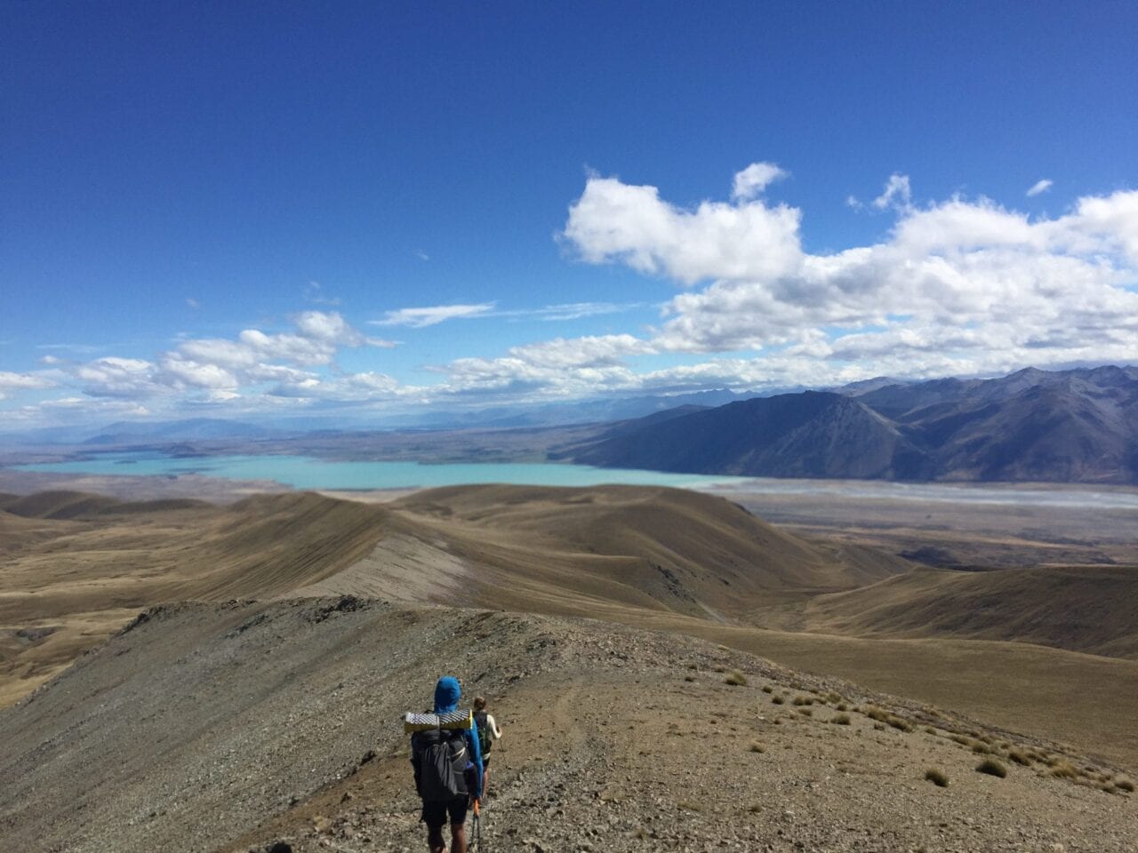
Photo by Dahn Pratt
Photos by Dahn Pratt
Want to keep up with all that’s going on at Atlas Guides? Sign up for our newsletter!
Read more!
Check out some related blog posts!
Get our trail guide for this area!
Te Araroa
Te Araroa is a long distance hiking trail in New Zealand, stretching 3000 km across the country’s two main islands. The trail travels from Cape Reinga to Bluff.
3000 km (1860 mi) $39.99 full guide
Cape Reinga, North Island, New Zealand, Te Araroa
Photo by T L
Cape Reinga, North Island, New Zealand, Te Araroa
Photo by T L
Te Araroa
Te Araroa is a long distance hiking trail in New Zealand, stretching 3000 km across the country’s two main islands. The trail travels from Cape Reinga to Bluff.
3000 km (1860 mi)
$39.99 full guide
Get our trail guide for this area!
About the Author
Natalie McMillan
Natalie grew up hiking in Arizona where she fell in love with the outdoors. Her favorite hikes are to Havasu Falls in the Grand Canyon and Angel’s Landing in Zion National Park, UT. She loves taking pictures of people, places, and nature, which might explain why she has almost 47,000 photos currently residing on her phone. She takes care of all things related to social media and marketing and recently moved to Denver, CO from Flagstaff, AZ. You may find her frolicking around the trails and mountains of Colorado, or exploring the new city she gets to call home.
My Trail Story by Flower Power
Planning an adventure? Check out our popular trail guides! 4.8 stars (17K+ ratings)
Photo by Allison DiVerde
My Trail Story featuring Flower Power
Allison DiVerde, a.k.a. Flower Power, offers her advice for those who are new to thru-hiking after her journey on the Appalachian Trail in 2018.
Natalie McMillan My Trail Story 01/31/2019
Natalie McMillan
My Trail Story
01/31/2019
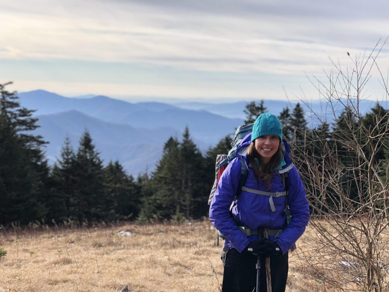
Photo by Allison DiVerde
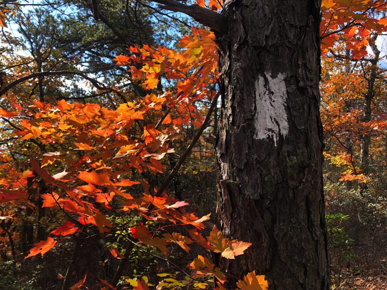
Photo by Allison DiVerde
Advice for someone who has never done a thru-hike before:
By: Flower Power, Appalachian Trail SoBo 2018
Age: 24 years old
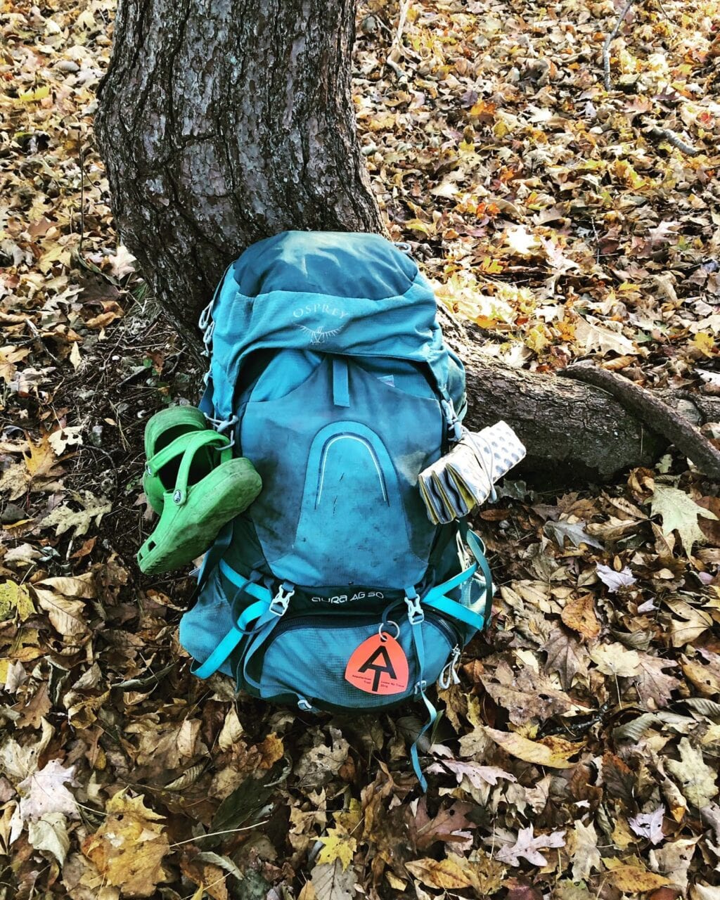
Photo by Allison DiVerde
Preparing Your Gear
There is so much information on the internet to help plan a thru-hike! Previous hikers are such a great resource and there are tons of YouTube channels and blogs to pick from! It’s easy to get caught up in the gear lists hikers make. It’s important to remember that ultimately YOU need to decide what fits your budget, gives you the comfort level YOU desire, and clocks in at a realistic weight. Some people carry a pillow to sleep, others use their clothes bag as a pillow, or nothing at all!
Everyone is entitled to their own opinion, which means you are too. Use your resources to make an informed decision about gear. Make sure if you’re using someone’s list as a go-to that they’re hiking the same trail you intend to, in the same direction and starting the same time of year. For example, the AT is notoriously wet, whereas the PCT is not. Rain gear on the AT may be the right choice for you, but on the PCT it could just be a waste of space.
Preparing Your Body
Honestly, it’s hard to mimic walking all day with a backpack. Assuming you have a job that doesn’t allow you to go hike all day with your pack, there just aren’t enough hours in the day to work a full day and backpack a full day. A good use of your time would be looking up stretches and exercises you could do to strengthen any body parts (knees, quads, lower back, etc.) you need to before leaving.
Many thru-hikers don’t think of themselves as endurance athletes, but we are! Overuse injuries are common on trail and learning how to combat them before you see debilitating signs of them will serve you well.
Preparing Your Mind
The best thing I did before leaving for my thru-hike was compiling a few different lists. This wasn’t my idea, rather Zach Davis’ in his book, Appalachian Trials. He cites these lists as good things to think about before leaving for your thru-hike. The three list topics are: “I am thru-hiking XX trail because…”, “When I successfully thru-hike XX trail I will…”, and “If I give up on the XX trail, I will…” It was a good mental exercise to think about the repercussions of my thru-hike before I hit the trail.
When researching a trail you’re going to find a lot of “sunshine and rainbow” posts, but it’s important to realize that everyday does not have sunshine and rainbows. You’ll experience ups and downs on the trail and you’ll be more likely to succeed on your thru-hike if you’ve put some thought into how to deal with them when they come around.
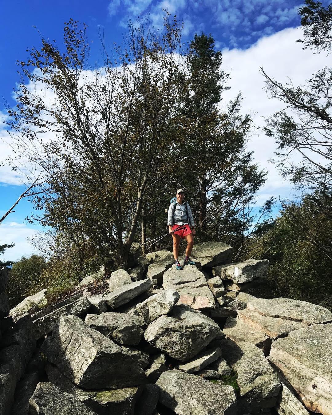
Photo by Allison DiVerde
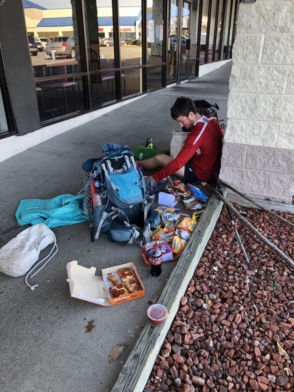
Photo by Allison DiVerde
Preparing Your Wallet
How much money you spend on trail can vary heavily. Some people look for work-for-stay opportunities, cheap all you can eat buffets, and rarely do laundry. Others splurge and take zeros in towns with fun things to do, buy nice dinners and fresh food, and prefer to shower regularly. How much you spend really depends on what trail you’re hiking and what you want your town experiences to be like.
The majority of your money will be spent on food (hello 5,000 calorie days where you don’t gain weight!), but other expenses include hostels/hotels, medical needs, in-town activities, camping fees/park entrance fees, etc. Make sure you really think about how much money you need to hike the trail and make it a fun experience! Nobody wants to realize the last month into their hike that they really can’t afford to stay indoors and buy five Big Macs in town.
Want to keep up with all that’s going on at Atlas Guides? Sign up for our newsletter!
Read more!
Check out some related blog posts!
Get our trail guide for this area!
Appalachian Trail
The Appalachian Trail is one of the oldest National Scenic Trails in the US. Its path takes you from Springer Mountain in Georgia to Mt. Katahdin in Maine.
2200 mi (3540 km) $59.99 full guide
Pennsylvania, Appalachian Trail
Photo by Zoë Symon
Pennsylvania, Appalachian Trail
Photo by Zoë Symon
Appalachian Trail
The Appalachian Trail is one of the oldest National Scenic Trails in the US. Its path takes you from Springer Mountain in Georgia to Mt. Katahdin in Maine.
2200 mi (3540 km)
$59.99 full guide
Get our trail guide for this area!
About the Author
Natalie McMillan
Natalie grew up hiking in Arizona where she fell in love with the outdoors. Her favorite hikes are to Havasu Falls in the Grand Canyon and Angel’s Landing in Zion National Park, UT. She loves taking pictures of people, places, and nature, which might explain why she has almost 47,000 photos currently residing on her phone. She takes care of all things related to social media and marketing and recently moved to Denver, CO from Flagstaff, AZ. You may find her frolicking around the trails and mountains of Colorado, or exploring the new city she gets to call home.