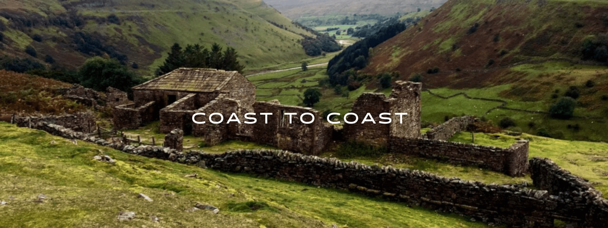
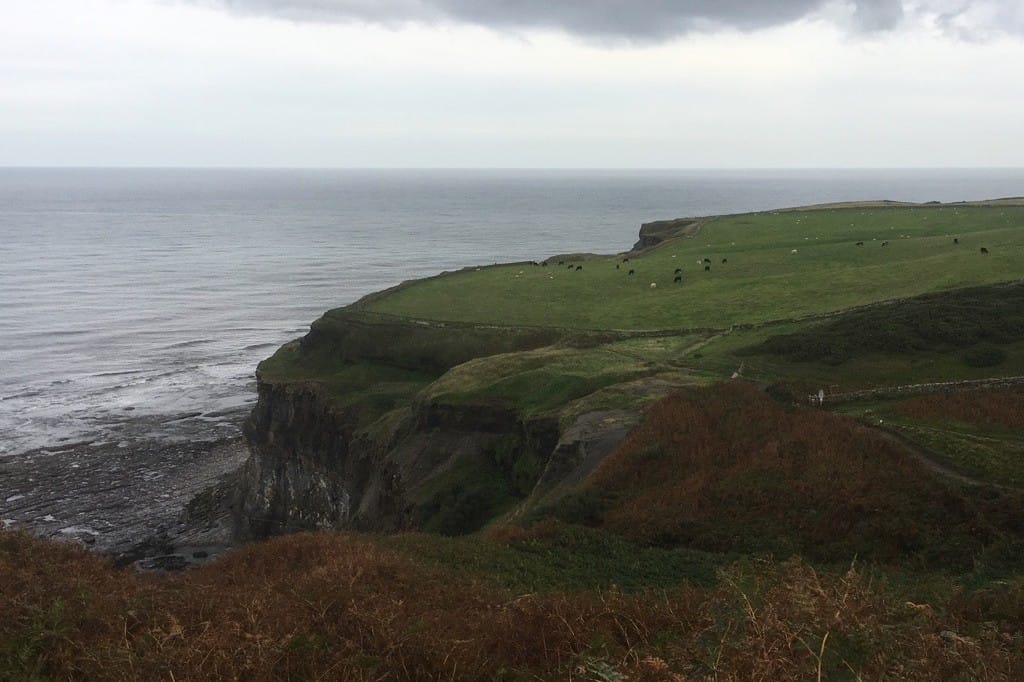
Coast to Coast

Official Companion App to the Trailblazer Guidebook to the Coast to Coast Path. Walk the width of Northern England from steep mountains to cozy pubs on Wainwright’s Coast to Coast Path. The Coast to Coast Path is a 192-mile route that runs from St. Bees on the Irish Sea across the width of Northern England to the North Sea at Robin Hood’s Bay. This spectacular two-week walk crosses three National Parks: the Lake District, the Yorkshire Dales, and the North York Moors. The walk overs diverse terrains including steep mountain climbs, damp bogs, ancient ruins, pastures, medieval castles and monasteries, inviting villages, and cozy pubs. Europe.
20% off for our Hiking Season Kick-off SALE! The Trailblazer Special is now $19.99. Explore the Trailblazer Special!
20% off for our Boxing Day SALE! The Trailblazer Special is now $18.99. Explore the Trailblazer Special!
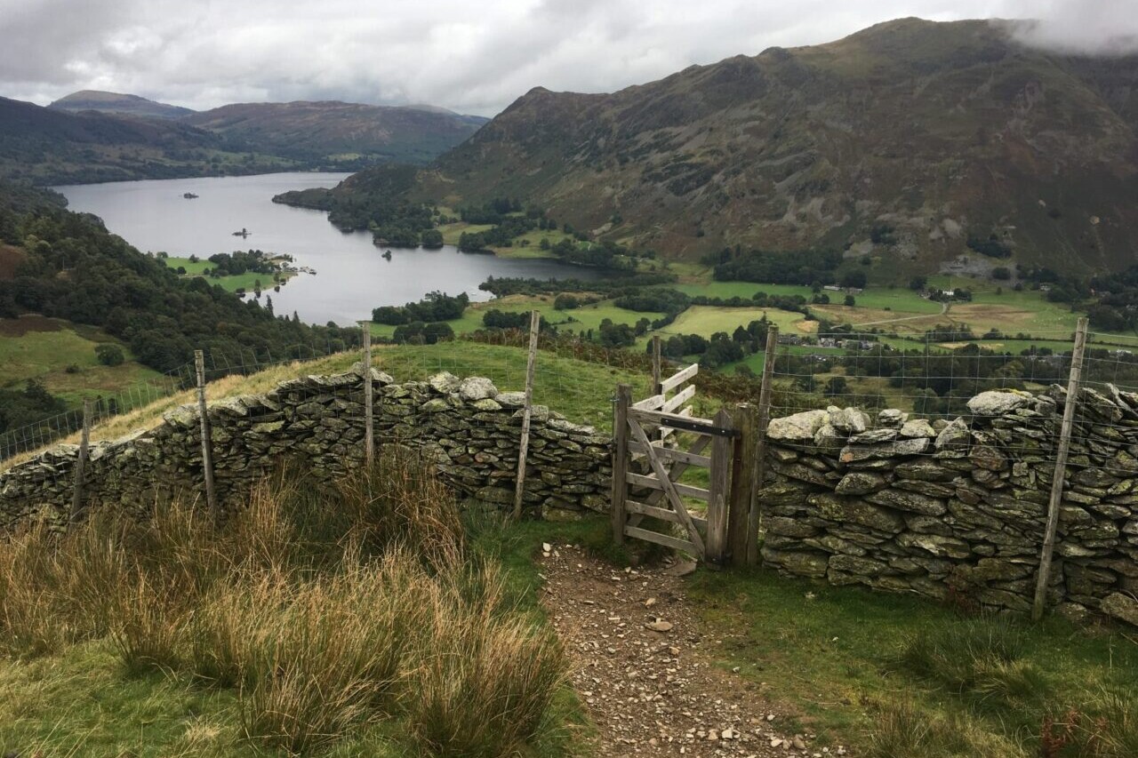
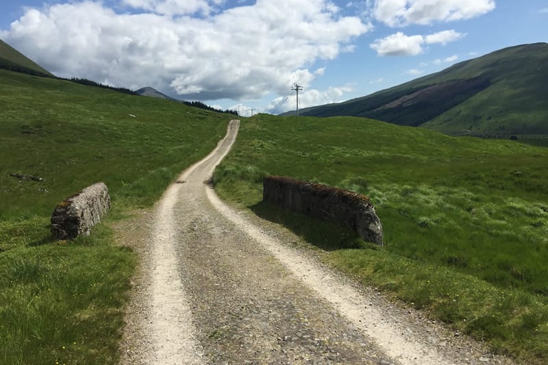
England, Coast to Coast Walk
Photo courtesy of Trailblazer Guides
4.8 ★★★★★ | 17K+ Reviews
Coast to Coast Path
192 miles • England
Official Companion App to Trailblazer's Coast to Coast Path by Henry Stedman and Daniel McCrohan
Download our guide to access the Coast to Coast Path map, tracks, waypoints, and comments! Walk the width of Northern England from steep mountains to cozy pubs on Wainwright's Coast to Coast Path. The Coast to Coast Path is a 192-mile route that runs from St. Bees on the Irish Sea across the width of Northern England to the North Sea at Robin Hood’s Bay. This spectacular two-week walk crosses three National Parks: the Lake District, the Yorkshire Dales, and the North York Moors. The walk overs diverse terrains including steep mountain climbs, damp bogs, ancient ruins, pastures, medieval castles and monasteries, inviting villages, and cozy pubs.
$8.99 full guide A Trailblazer Guide
$8.99 full guide
A Trailblazer Guide


Coast to Coast Map


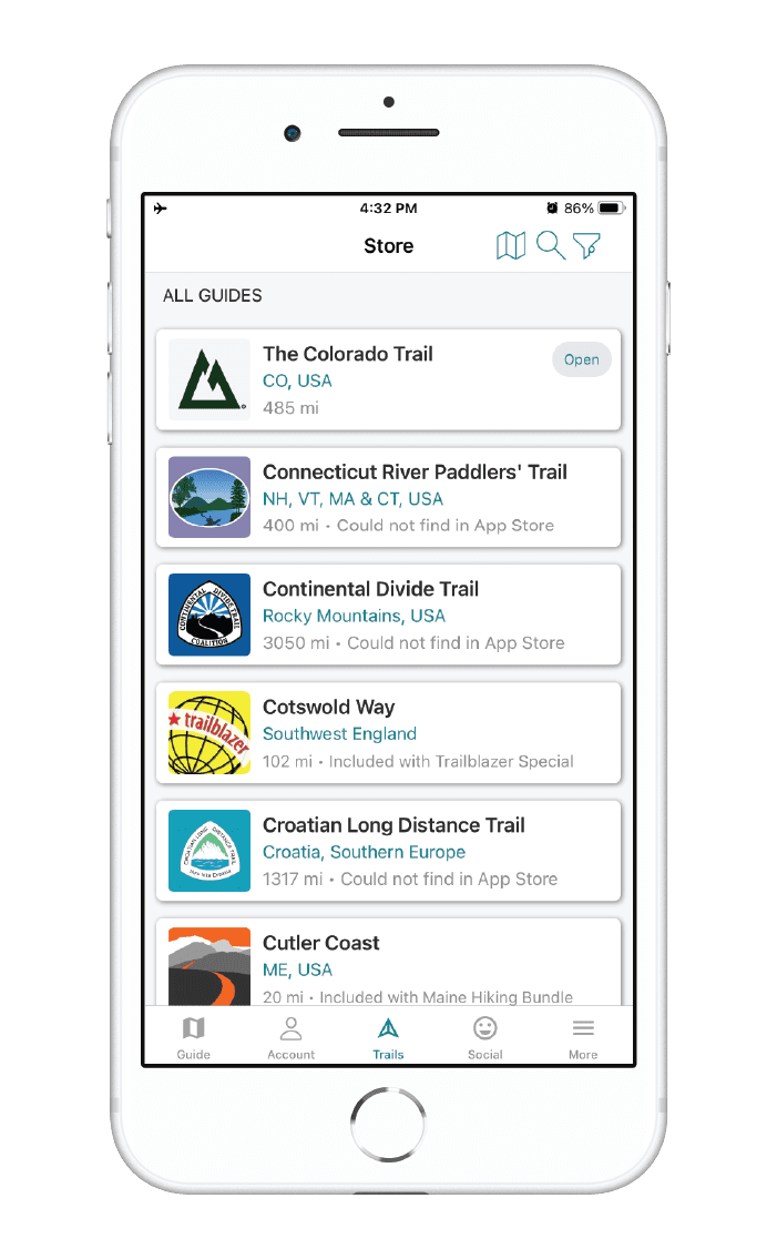
How can I get it?
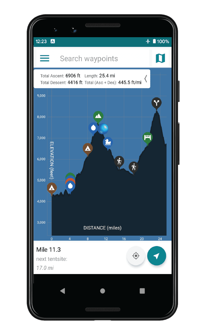
The Coast to Coast trail map is available as an in-app purchase in our Guthook Guides app, a free download from the Apple App Store or the Google Play Store.
Our iOS and Android apps do differ slightly in their appearance. However, the majority of their features remain the same, and they access the same trail guide data.
Purchase all Trailblazer apps in one package. Includes South Downs Way, Coast to Coast, West Highland Way, Hadrian’s Wall Path, The Cotswold Way, and The Ridgeway. Purchase now and you will receive any new apps we add in the future at no additional cost.
$24.99
This app is the companion to Trailblazer Walking Guides’ guide to Wainwright’s Coast to Coast.
The Coast to Coast Path is a nearly 200-mile (320km) route that runs from St Bees on the Irish Sea across the width of Northern England to the North Sea at Robin Hood’s Bay. This spectacular two-week walk crosses three National Parks: the Lake District, the Yorkshire Dales, and the North York Moors.
$8.99
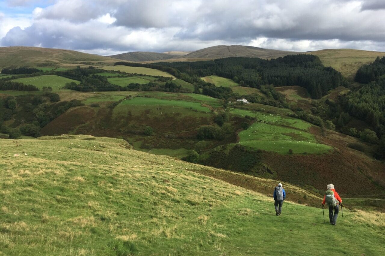
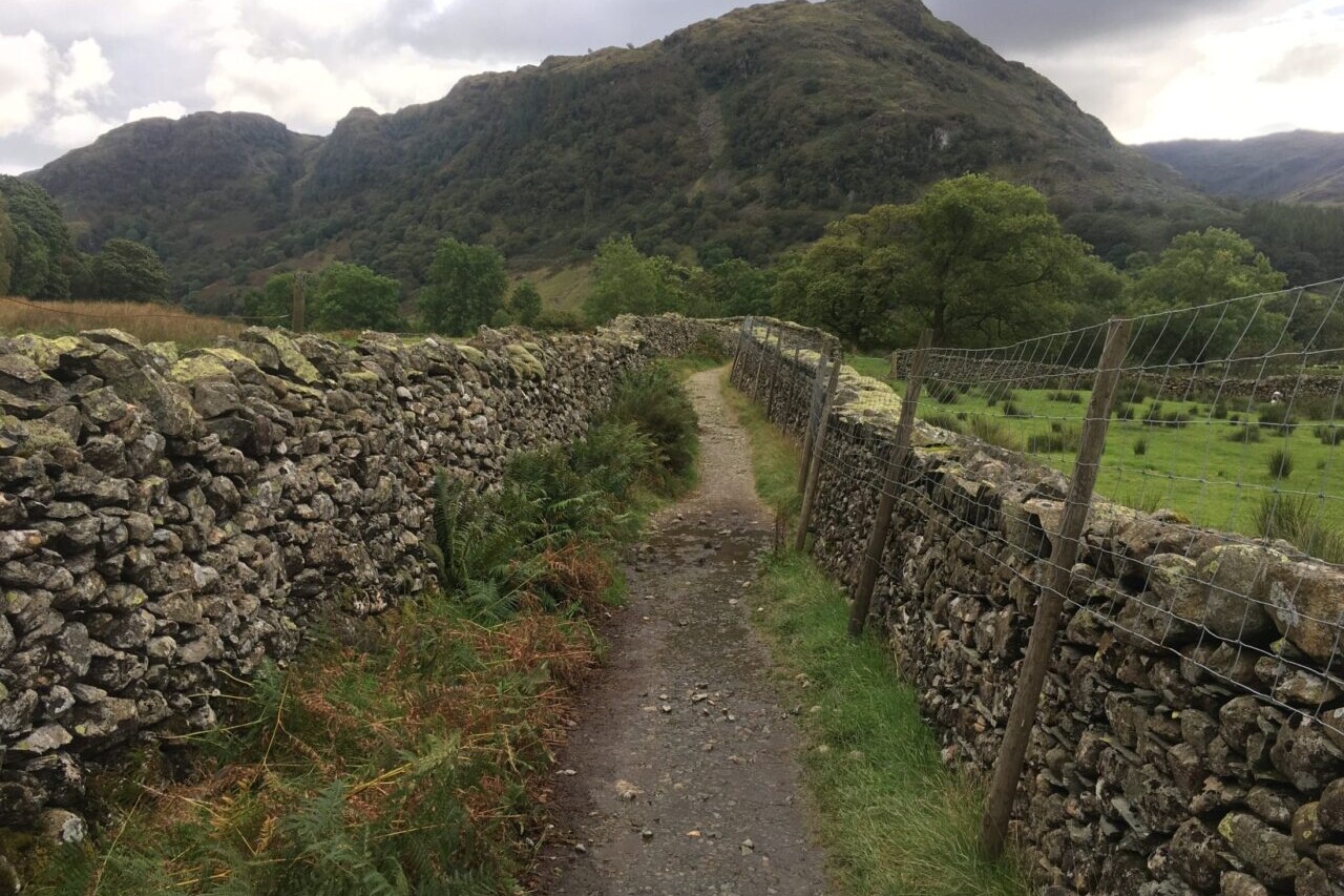
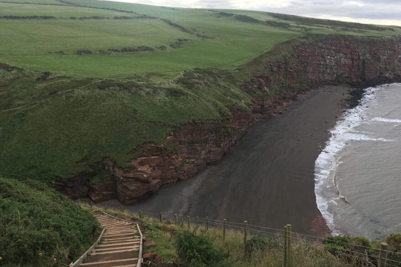
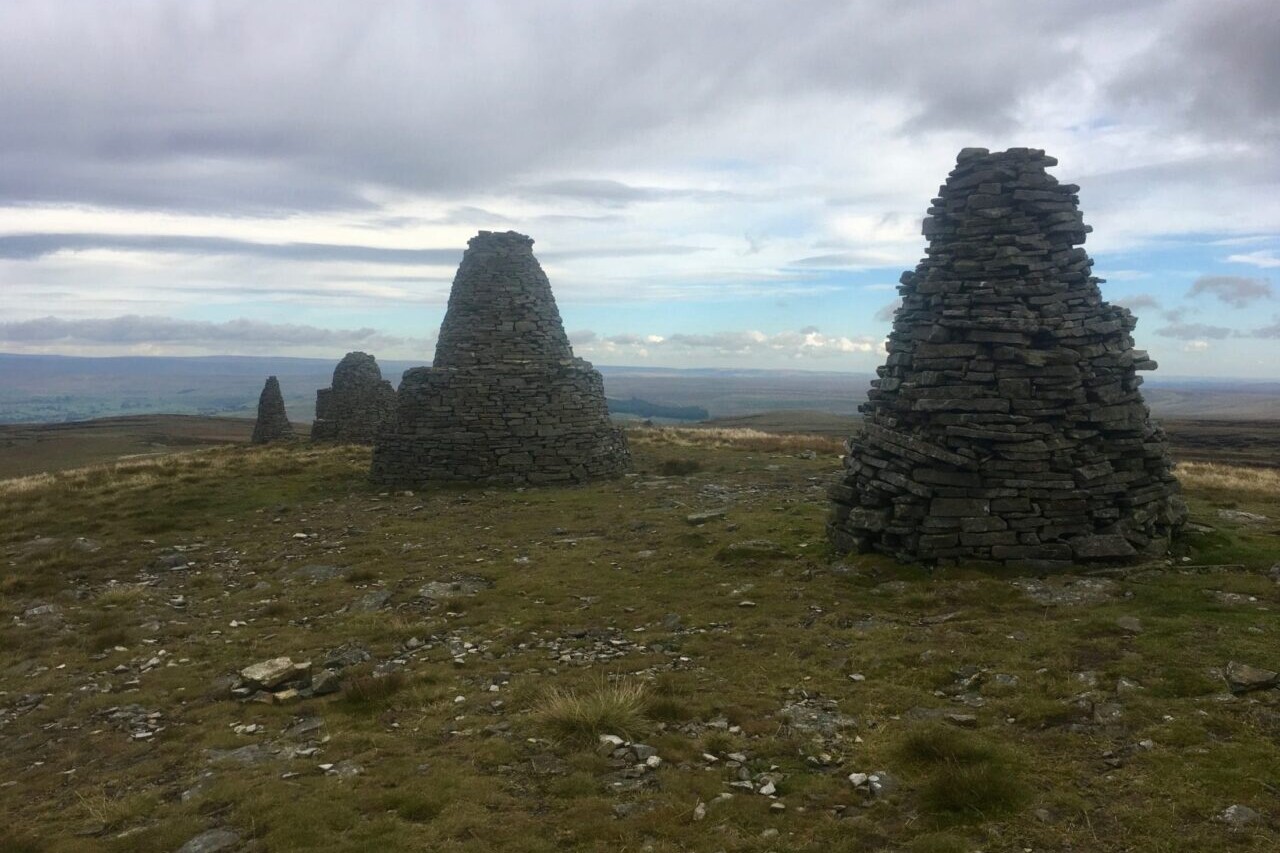
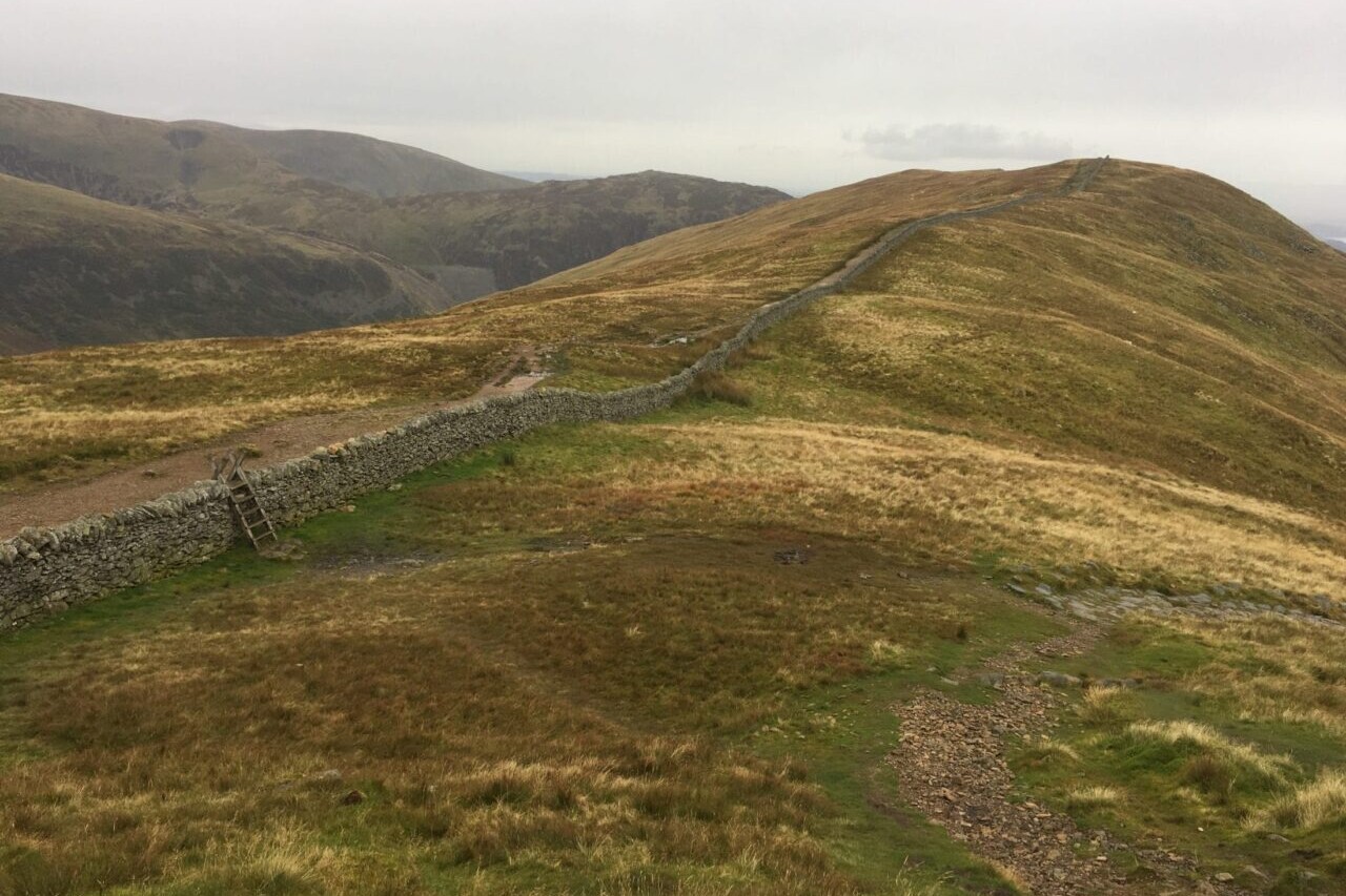
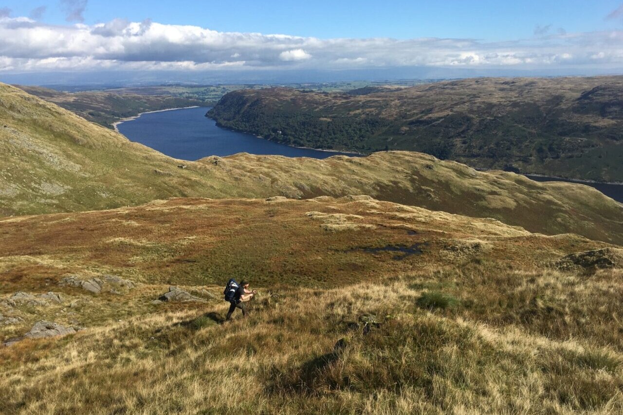
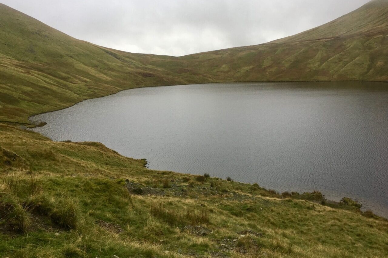
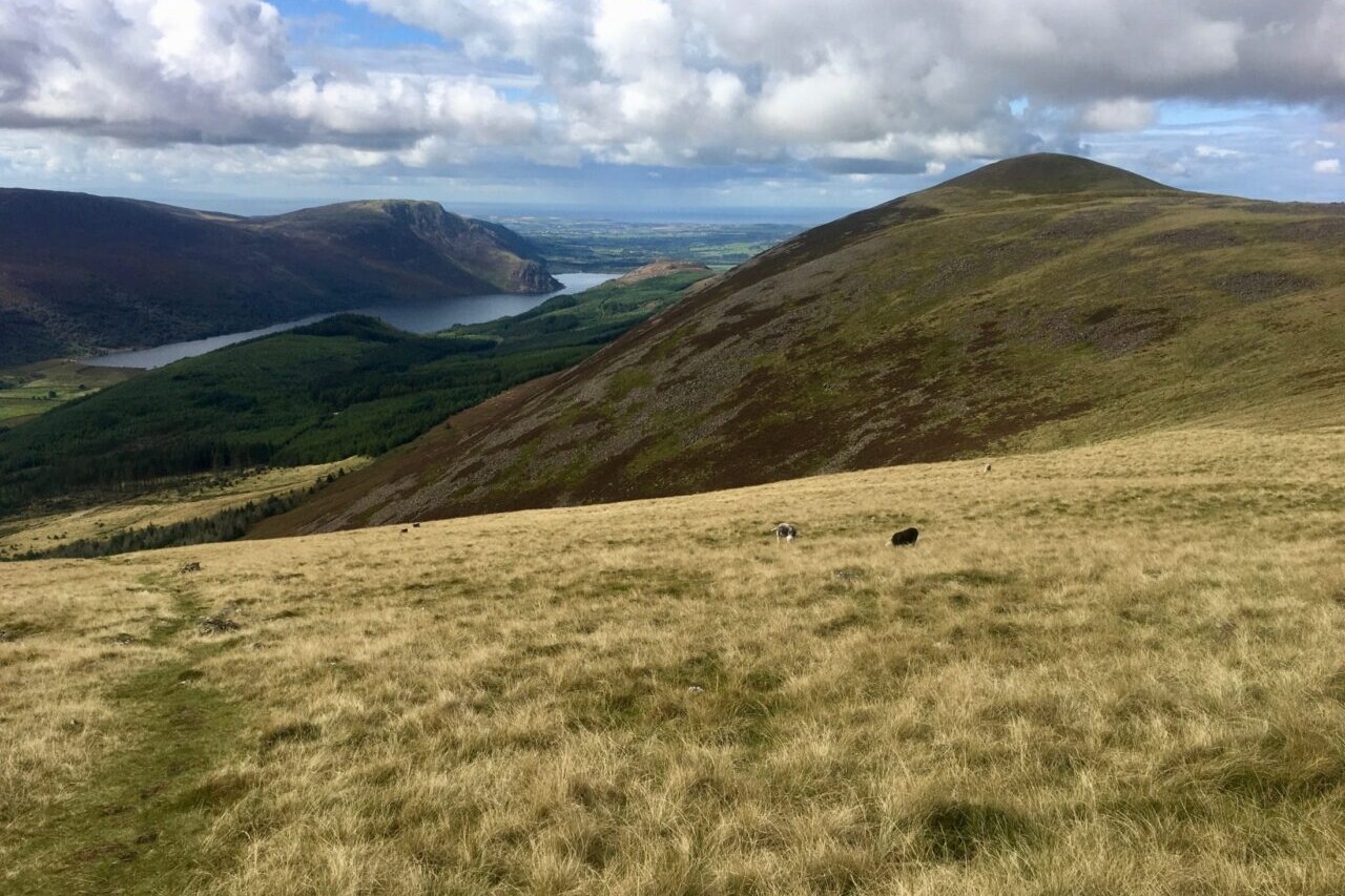
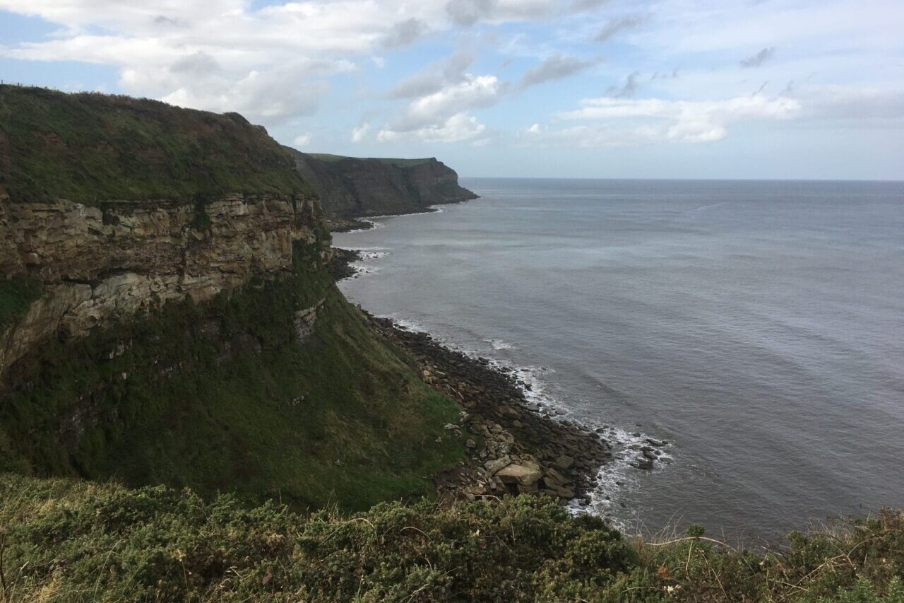
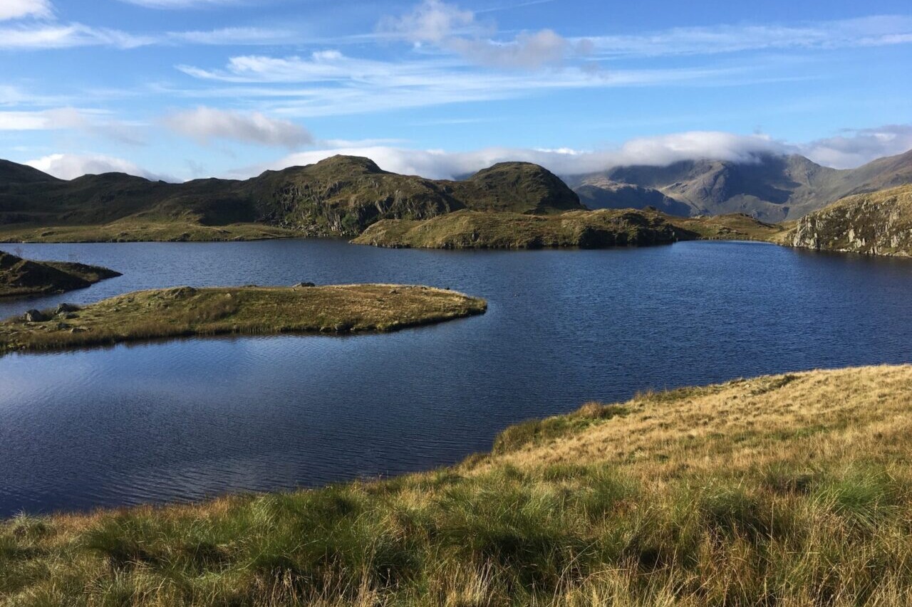
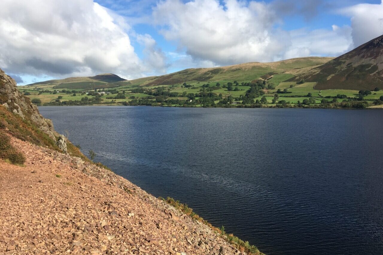
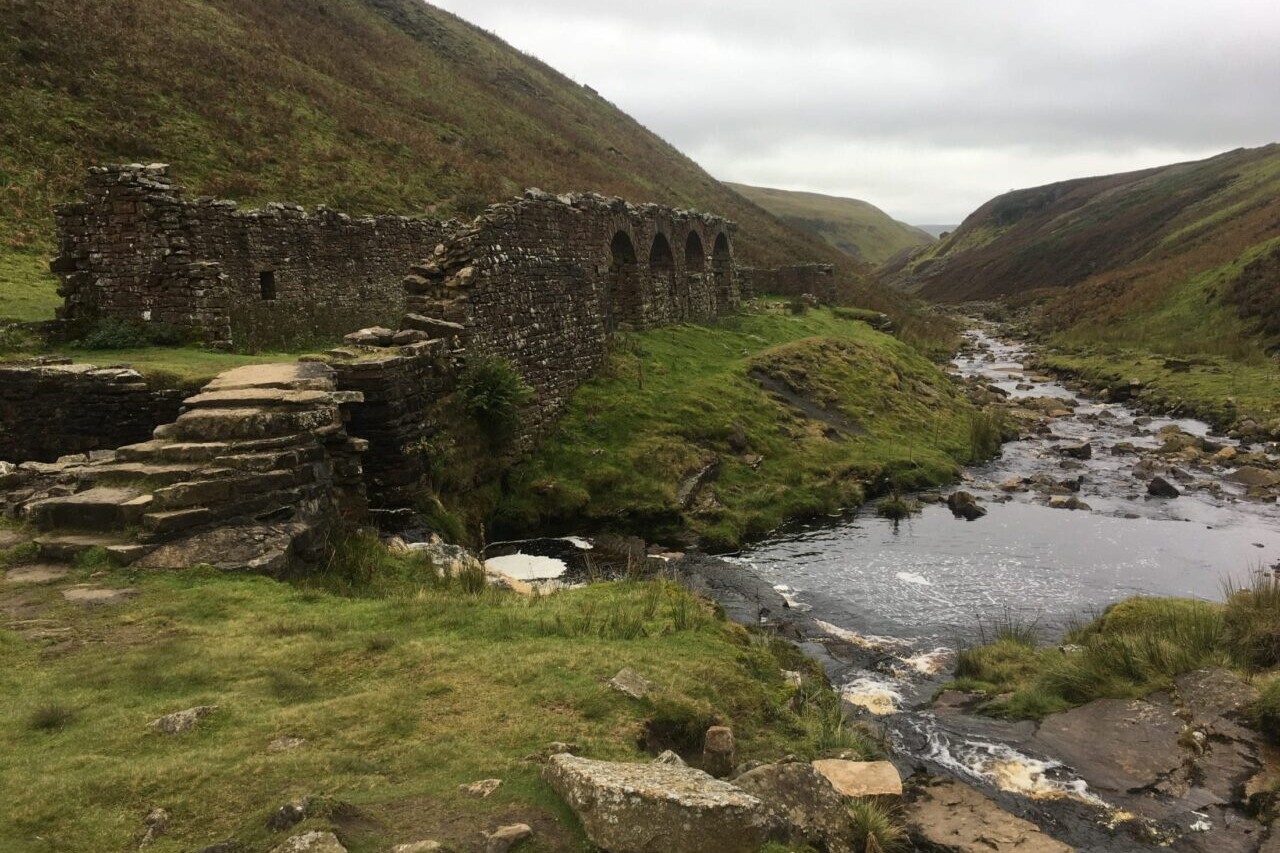
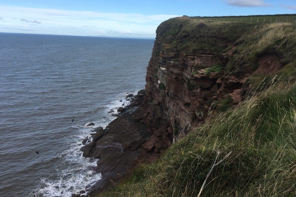
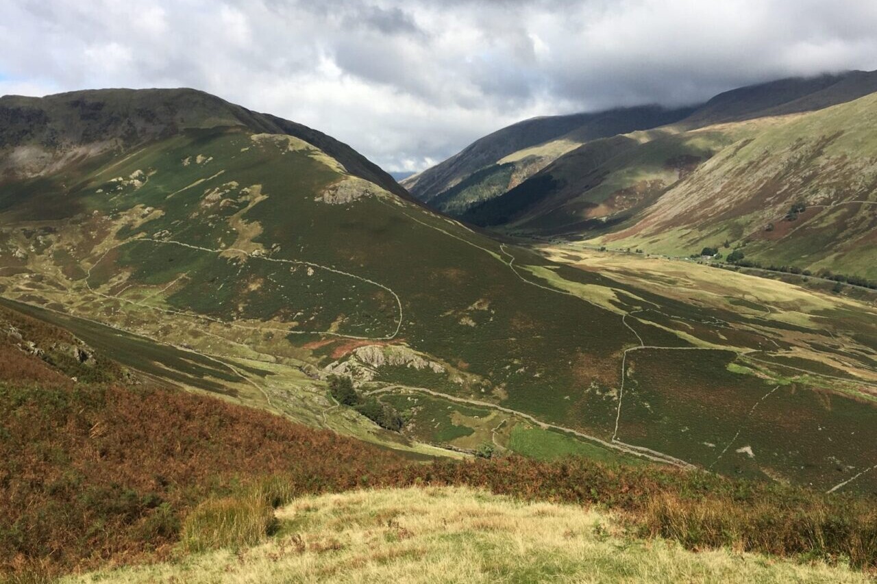
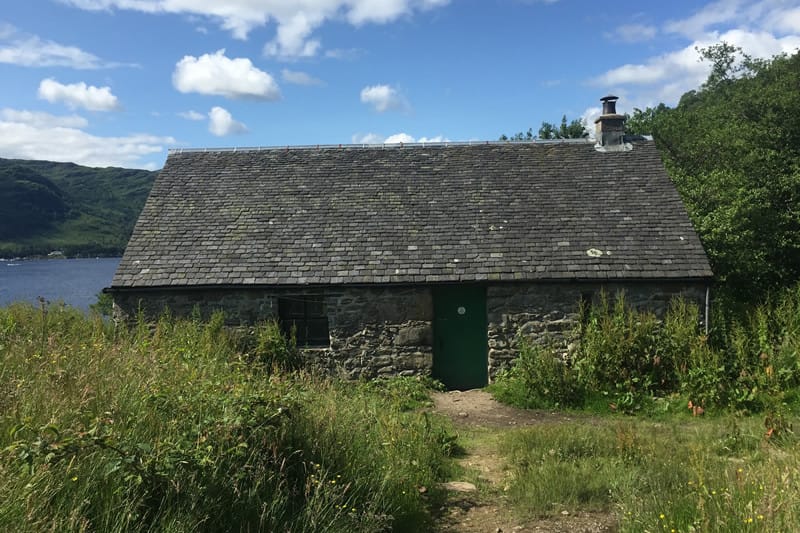
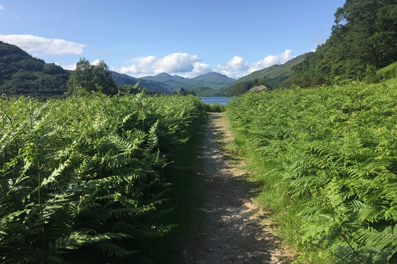
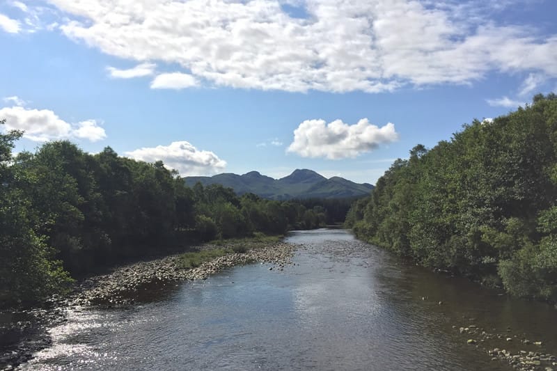
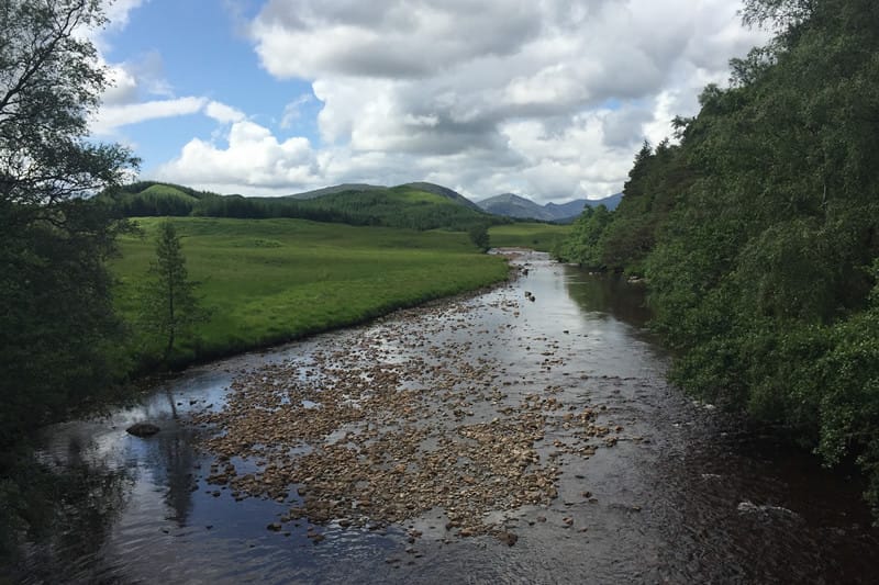
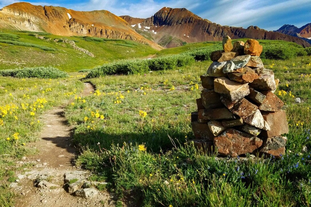
Photos of the Coast to Coast Trail

Hike more.
Check out some of the other trail guides we offer!
About our partner
Trailblazer Guides
Since 1991 Trailblazer has been publishing a select list of practical guidebooks written by travellers for travellers. Their guidebooks include everything from adventure travel guides, to rail guides, to worldwide trekking guides, including British walking guides. Trailblazer guides are entertaining as well as informative, and are strong on practical information without neglecting the cultural background.
Atlas Guides created and maintains the official app of Trailblazer’s British Walking Guides.
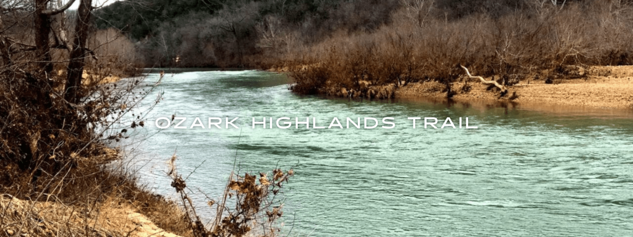
Ozark Highlands Trail
Experience the beauty of the Ozarks: hike forests and scenic rivers on the Ozark Highlands Trail. The Ozark Highlands Trail showcases the outstanding beauty of the Ozarks of Northwest Arkansas. This 164-mile trail stretches from Lake Fort Smith to the Buffalo River. It is one of the premier long-distance hiking trails in the Southern United States. It provides a multitude of winter hiking opportunities since fall through spring is the peak season. The trail passes through some of the most scenic parts of the Ozark Mountains, including some areas that are some of the most remote in the state.
20% off for our Hiking Season Kick-off SALE! The Arkansas Hiker Bundle is now $15.99. Explore the Arkansas Hiker bundle!
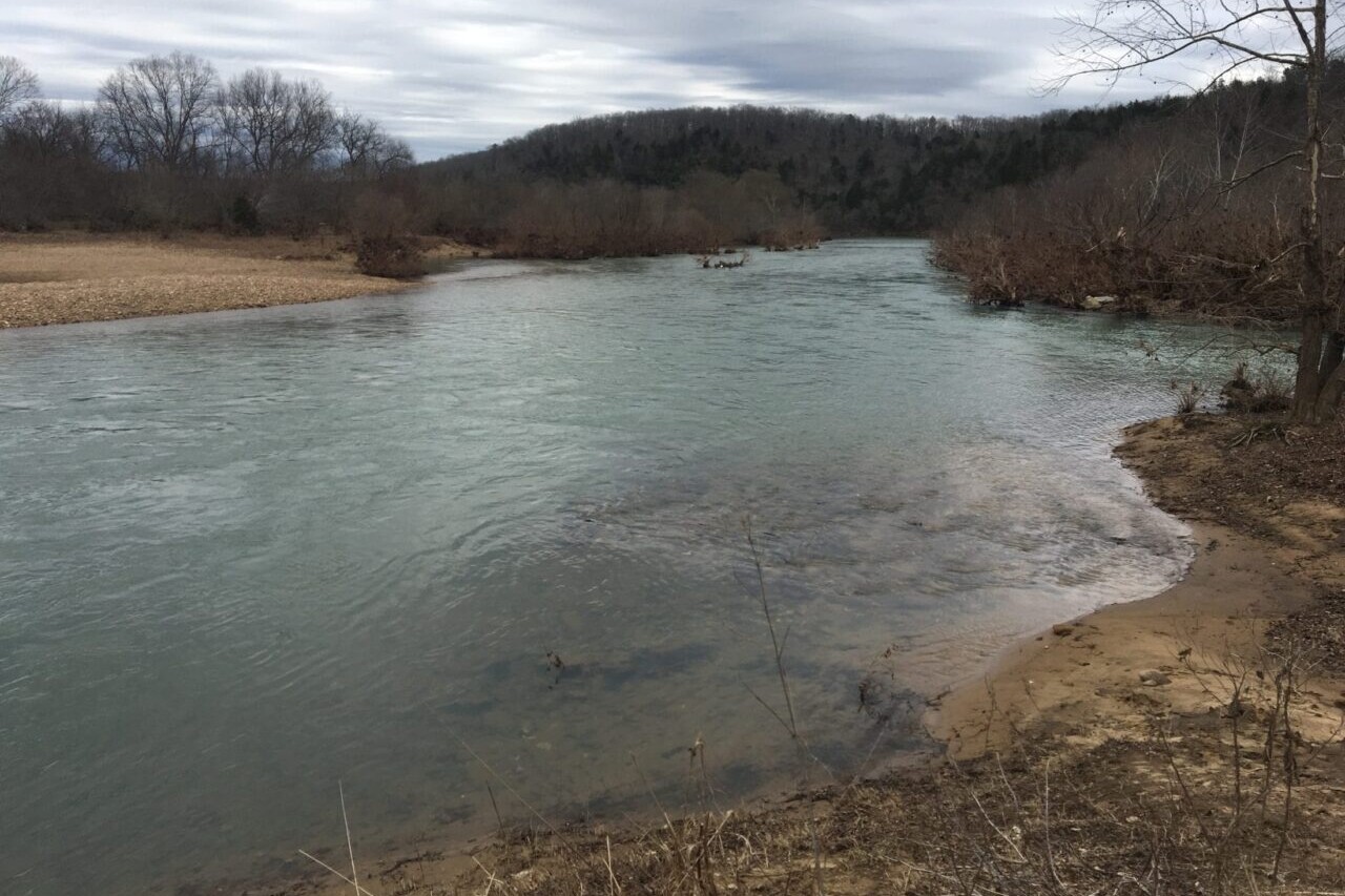
Arkansas, Ozark Highlands Trail
Photo by Logan Wilcoxson
4.8 ★★★★★ | 17K+ Reviews
Ozark Highlands Trail
164 miles • Arkansas
Download our guide to access the Ozark Highlands Trail map, tracks, waypoints, and comments! Experience the beauty of the Ozarks: hike forests and scenic rivers on the Ozark Highlands Trail. The Ozark Highlands Trail showcases the outstanding beauty of the Ozarks of Northwest Arkansas. This 164-mile trail stretches from Lake Fort Smith to the Buffalo River. It is one of the premier long-distance hiking trails in the Southern United States. It provides a multitude of winter hiking opportunities since fall through spring is the peak season. The trail passes through some of the most scenic parts of the Ozark Mountains, including some areas that are some of the most remote in the state.
$9.99 full guide
$9.99 full guide
Ozark Highlands Trail Map


How can I get it?
The Ozark Highlands Trail map is available as an in-app purchase in our Guthook Guides app, a free download from the Apple App Store or the Google Play Store.
Our iOS and Android apps do differ slightly in their appearance. However, the majority of their features remain the same, and they access the same trail guide data.
Save 33% off our Arkansas hiking trails with the Arkansas Hiker Special! Includes: Ouachita Trail, Ozark Highlands Trail, Buffalo River Trail and Eagle Rock Loop
$19.99
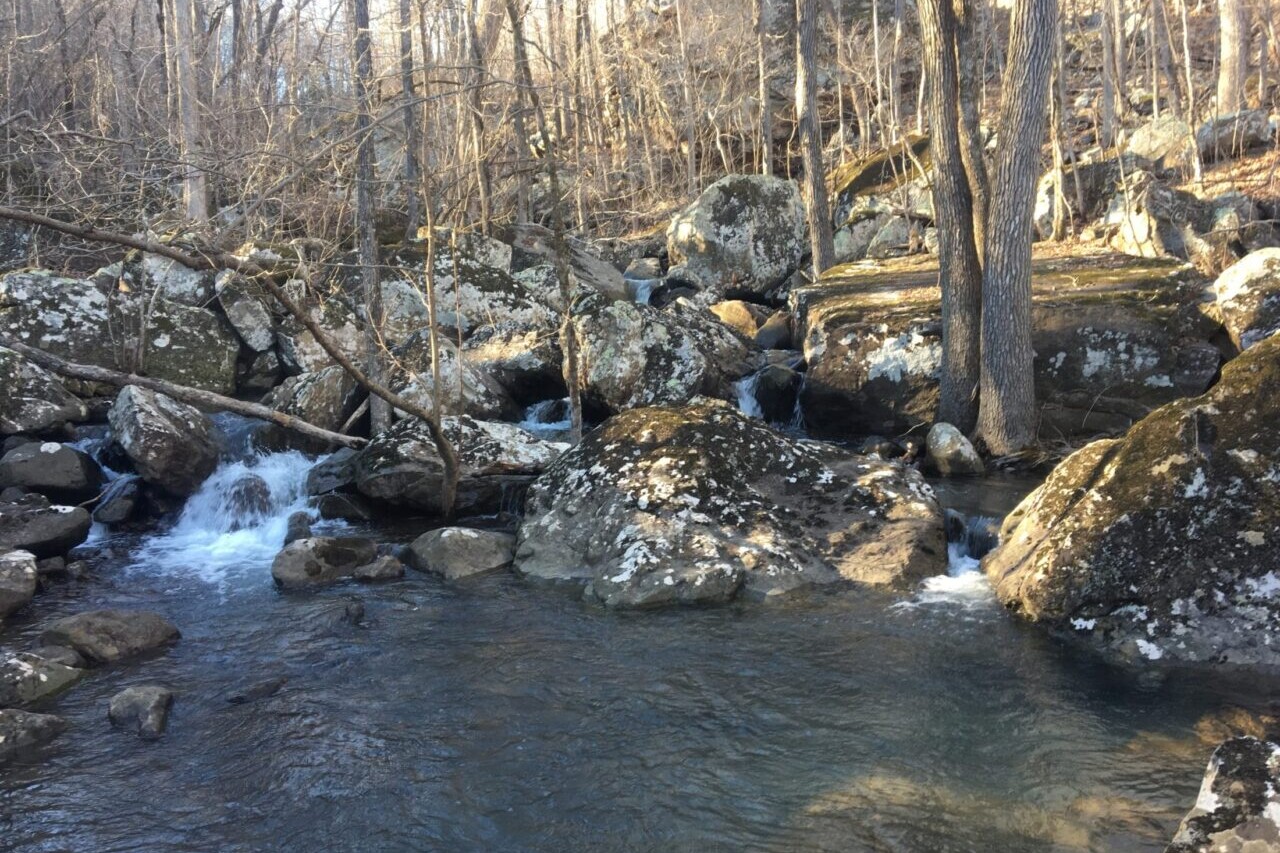
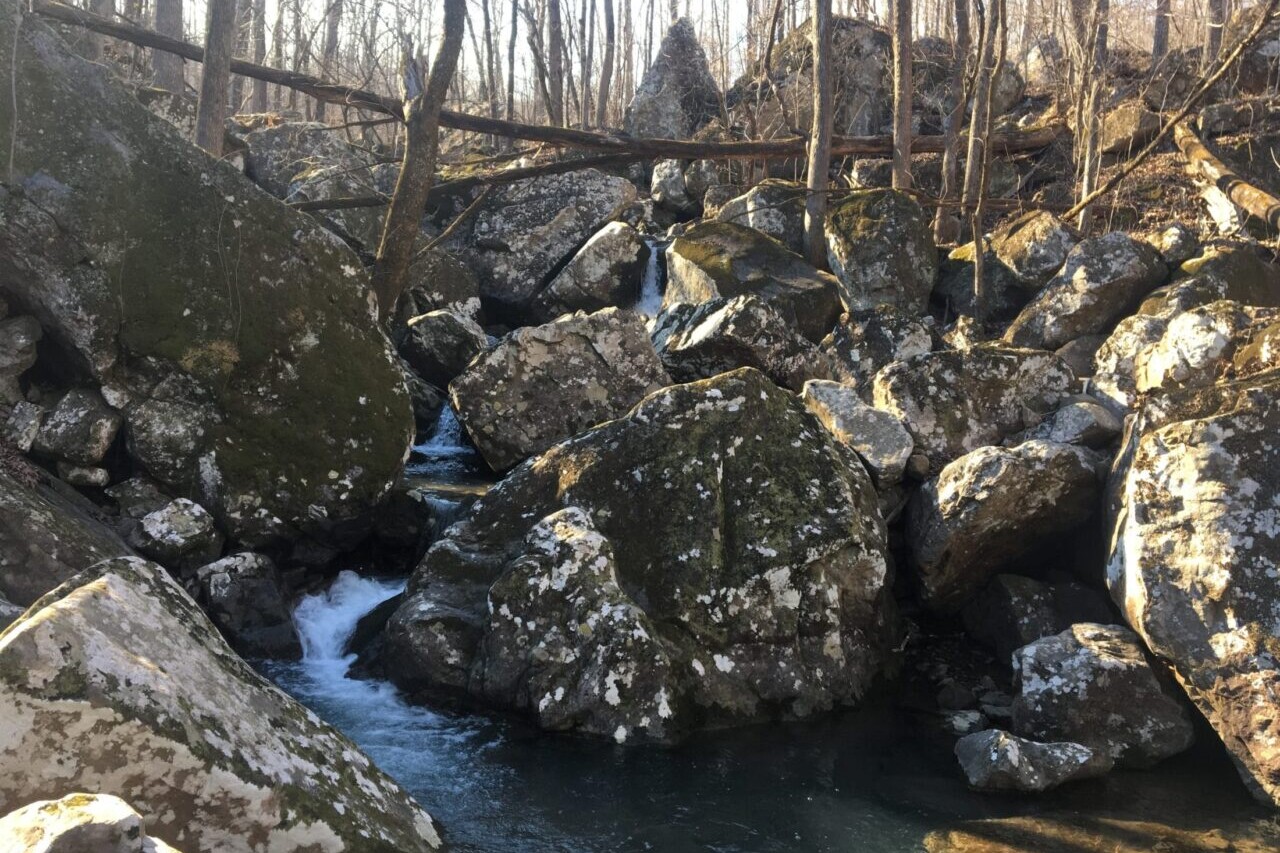
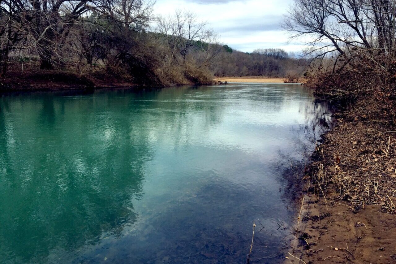
The Ozark Highlands Trail showcases the outstanding beauty of the Ozarks of Northwest Arkansas. This 164-mile trail stretches from Lake Fort Smith to the Buffalo River at Woolum. Nearly 300 waypoints, including water sources, campsites, and trailheads.
$9.99
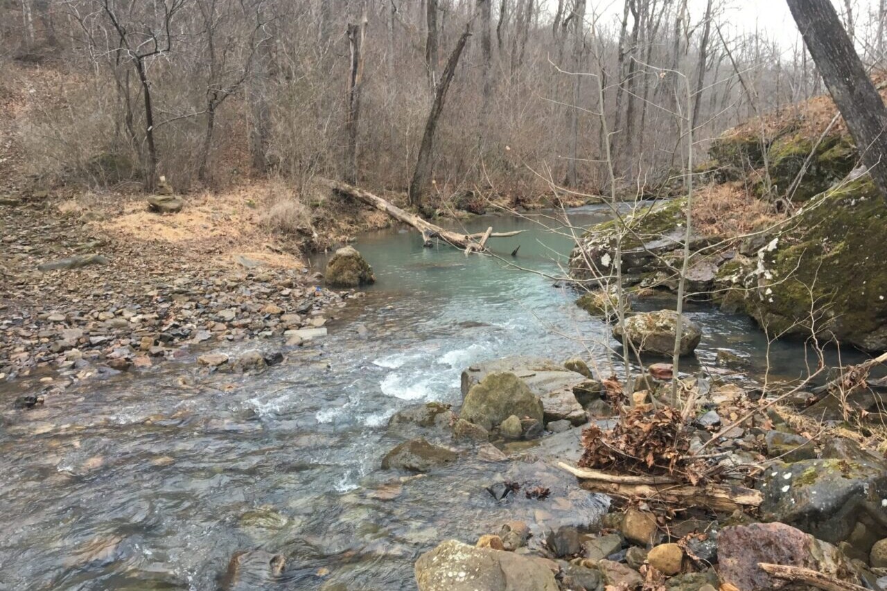
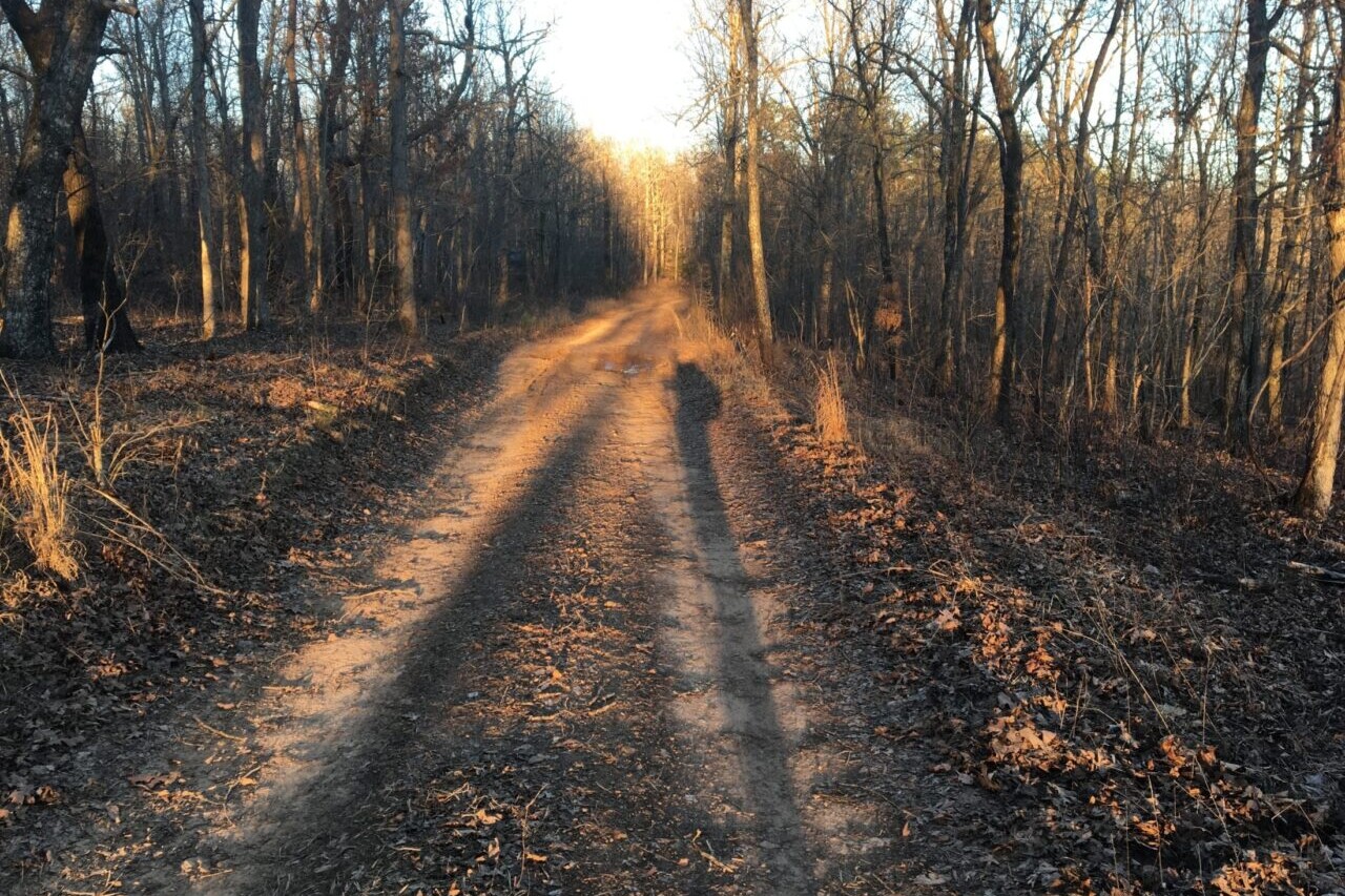
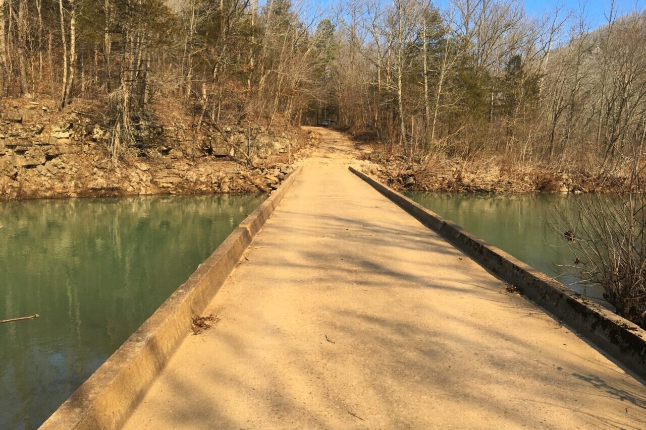
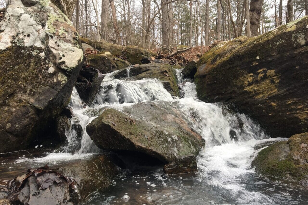
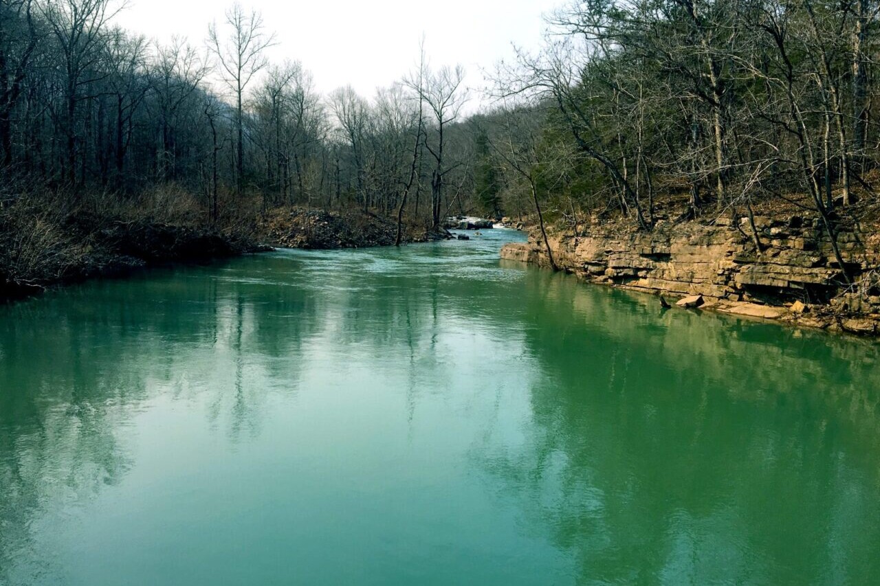
Photos of the Ozark Highlands Trail
Hike more.
Check out some of the other trail guides we offer!

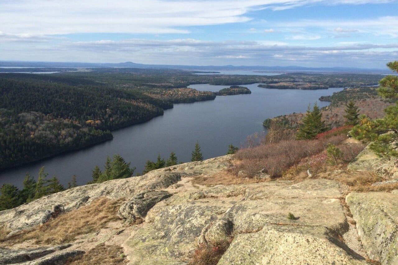
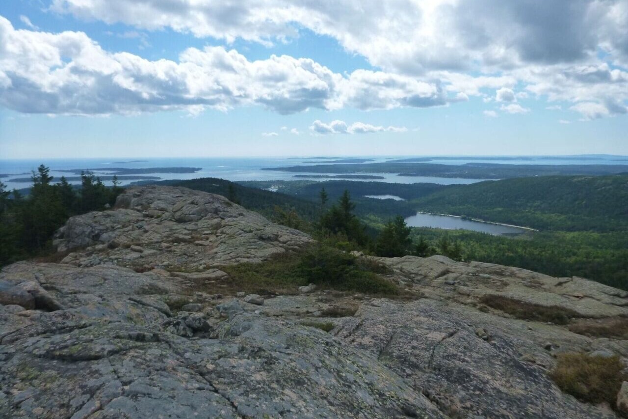
Acadia National Park
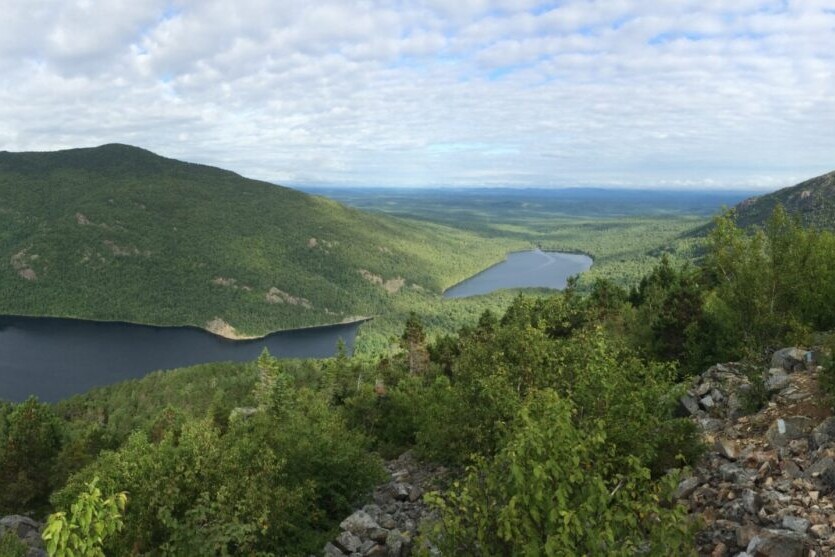
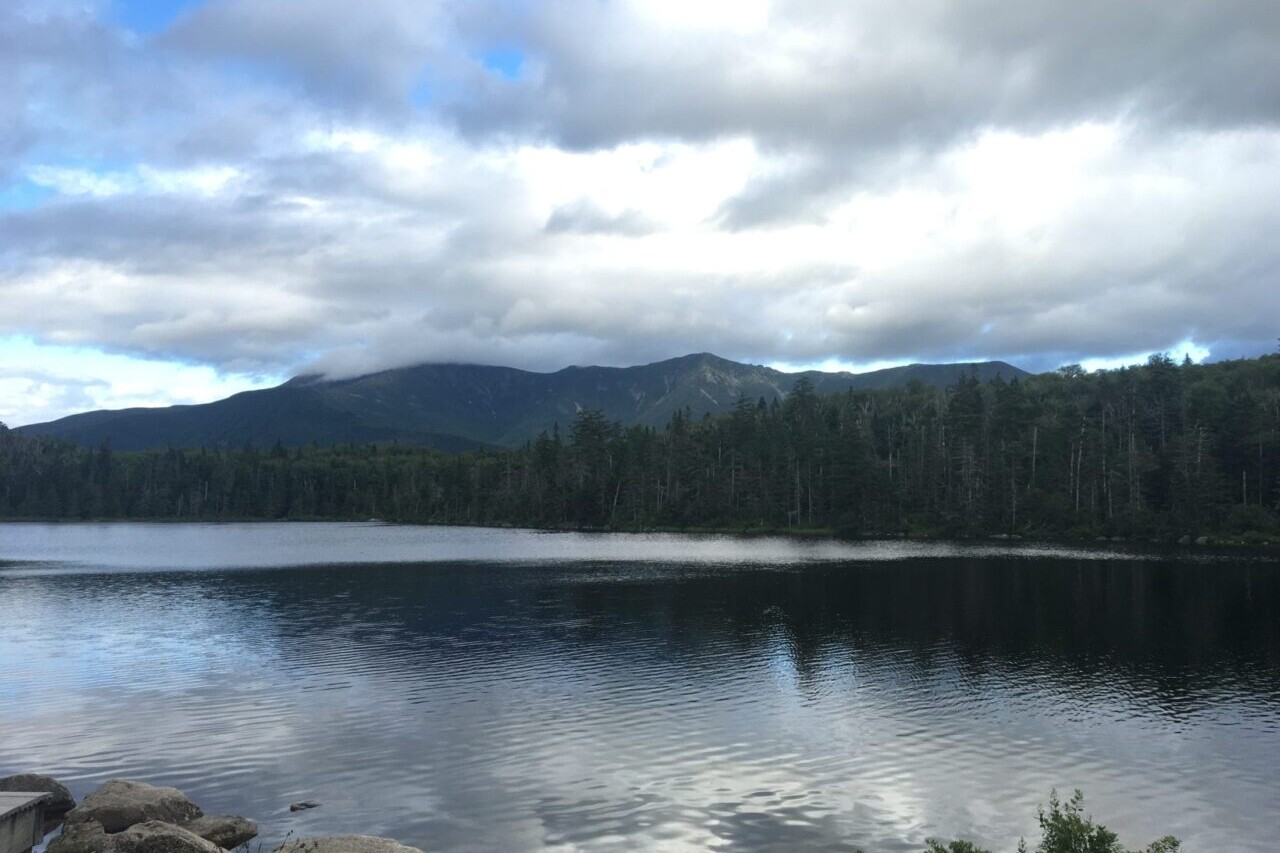
Explore Maine’s rugged ocean shores on the trails of Acadia National Park. The first National Park east of the Mississippi, Acadia is a 47,000-acre paradise for hikers, bikers, and sightseers on the low mountains of Mt Desert Island. The park is home to extensive miles of hiking trails and carriage roads. The park is comprised of beautiful woodlands and stunning rocky beaches. There is a variety of land- and sea-based wildlife in Acadia National Park, including moose, bear, whales, and a multitude of seabirds.
20% off for our Hiking Season Kick-off SALE! The Maine Hiking Bundle is now $23.99. Explore the Maine Hiking bundle!
30% off for our Small Business Saturday SALE! The Maine Hiking Bundle is now $20.99. Explore the Maine Hiking bundle!
Acadia National Park, Maine
Photo by Ryan Linn
4.8 ★★★★★ | 17K+ Reviews
Acadia National Park
160+ miles of trail • Maine
Download our guide to access the Acadia National Park map, tracks, waypoints, and comments! Explore Maine's rugged ocean shores on the trails of Acadia National Park. The first National Park east of the Mississippi, Acadia is a 47,000-acre paradise for hikers, bikers, and sightseers on the low mountains of Mt Desert Island. The park is home to extensive miles of hiking trails and carriage roads. The park is comprised of beautiful woodlands and stunning rocky beaches. There is a variety of land- and sea-based wildlife in Acadia National Park, including moose, bear, whales, and a multitude of seabirds.
160+ mi (257+ km) $7.99 full guide
160+ mi (257+ km)
$7.99 full guide
Acadia National Park Map


How can I get it?
The Acadia National Park map is available as an in-app purchase in our Guthook Guides app, a free download from the Apple App Store or the Google Play Store.
Our iOS and Android apps do differ slightly in their appearance. However, the majority of their features remain the same, and they access the same trail guide data.
This bundle includes all of our guides to Maine’s State Parks, Public Reserved Lands, and Acadia National Park.
With the mountains in the west and north, the rugged coastline, and the rivers and lakes in between, Maine can be a hiker’s paradise if you take a little time to explore. Mighty peaks like Katahdin and the Bigelows offer up dramatic views atop rugged climbs, while the coastal hills can be just as wild and beautiful, a little closer to villages and towns.
$29.99
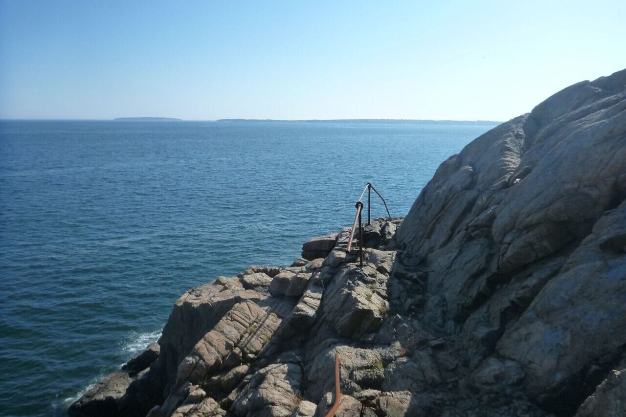
The first National Park east of the Mississippi, Acadia is a paradise for hikers, bikers, and sightseers on the low mountains of Mt Desert Island. This guide includes all hiking trails and carriage roads within the park, plus some trails that stretch outside the park.
$7.99
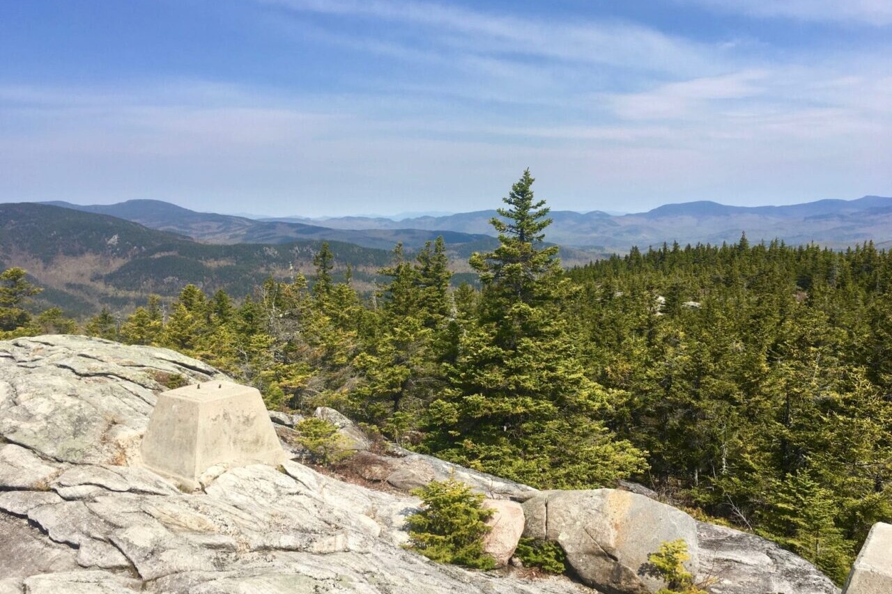
Photos of Acadia National Park

Hike more.
Check out some of the other trail guides we offer!
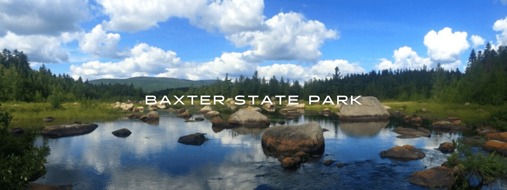
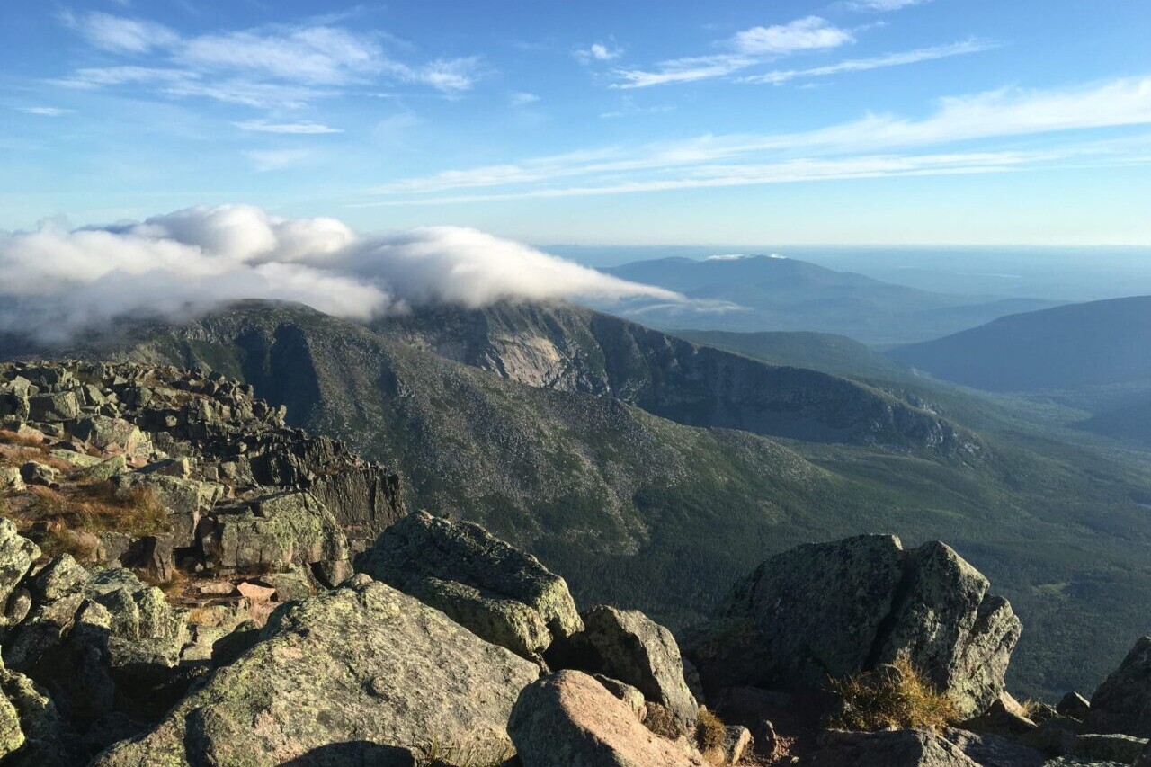
Baxter State Park
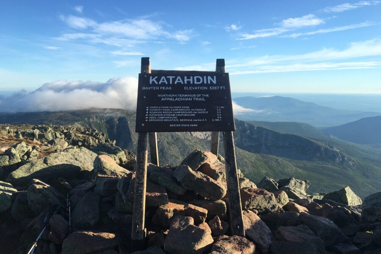
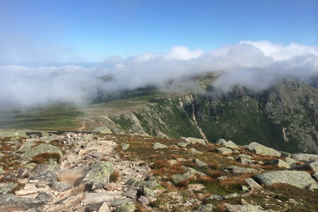
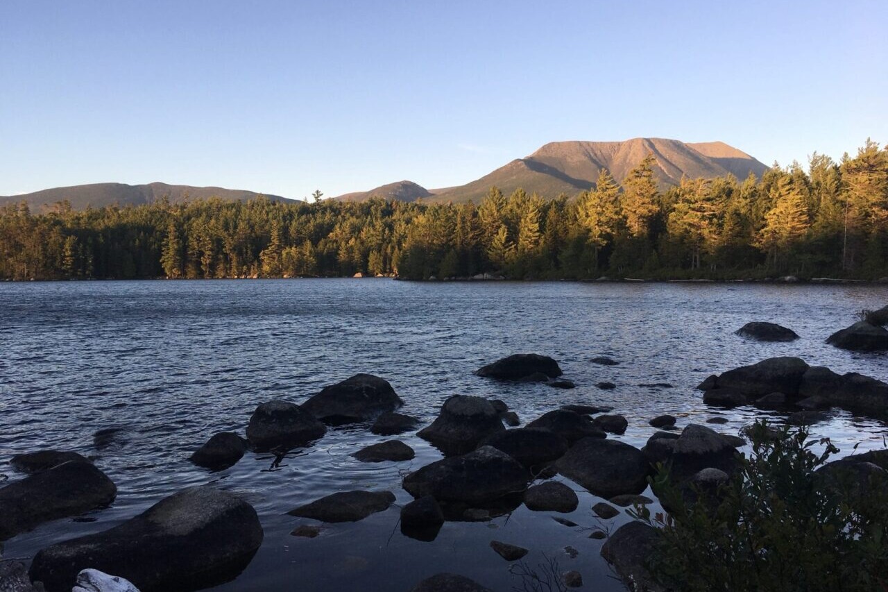
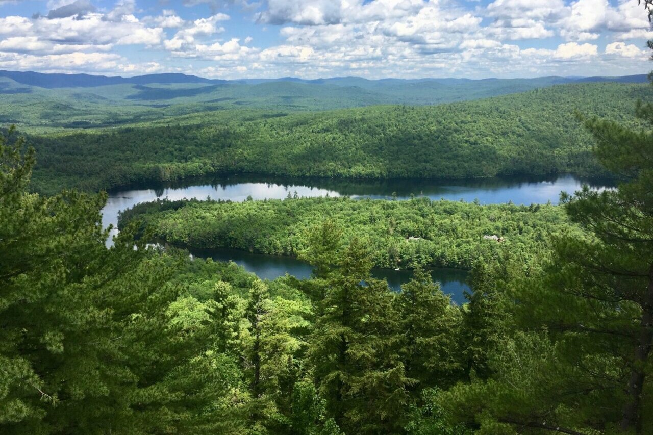
Explore the forests, ponds, and mountains of Maine in Baxter State Park. One of the crown jewels of Maine’s outdoors, Baxter State Park is home to the state’s highest peak, Mt Katahdin, as well as several other rugged mountains, dozens of lakes and ponds, several major streams, and some of the deepest wilderness in the state. Most visitors come to either camp in the pristine campgrounds around the park, or to climb Katahdin (which is also the northern terminus of the Appalachian Trail). Whatever your plan, the Park is worth as much time as you can afford to spend there.
20% off for our Hiking Season Kick-off SALE! The Maine Hiking Bundle is now $23.99. Explore the Maine Hiking bundle!
30% off for our Small Business Saturday SALE! The Maine Hiking Bundle is now $20.99. Explore the Maine Hiking bundle!
Turner Deadwaters, Baxter State Park, Maine
Photo by Ryan Linn
4.8 ★★★★★ | 17K+ Reviews
Baxter State Park
170+ miles of trail • Maine
Download our guide to access the Baxter State Park map, tracks, waypoints, and comments! Explore the forests, ponds, and mountains of Maine in Baxter State Park. One of the crown jewels of Maine’s outdoors, Baxter State Park is home to the state’s highest peak, Mt Katahdin, as well as several other rugged mountains, dozens of lakes and ponds, several major streams, and some of the deepest wilderness in the state. Most visitors come to either camp in the pristine campgrounds around the park, or to climb Katahdin (which is also the northern terminus of the Appalachian Trail). Whatever your plan, the Park is worth as much time as you can afford to spend there.
$9.99 full guide
$9.99 full guide
Baxter State Park Map


How can I get it?
The Baxter State Park map is available as an in-app purchase in our Guthook Guides app, a free download from the Apple App Store or the Google Play Store.
Our iOS and Android apps do differ slightly in their appearance. However, the majority of their features remain the same, and they access the same trail guide data.
This bundle includes all of our guides to Maine’s State Parks, Public Reserved Lands, and Acadia National Park.
With the mountains in the west and north, the rugged coastline, and the rivers and lakes in between, Maine can be a hiker’s paradise if you take a little time to explore. Mighty peaks like Katahdin and the Bigelows offer up dramatic views atop rugged climbs, while the coastal hills can be just as wild and beautiful, a little closer to villages and towns.
$29.99
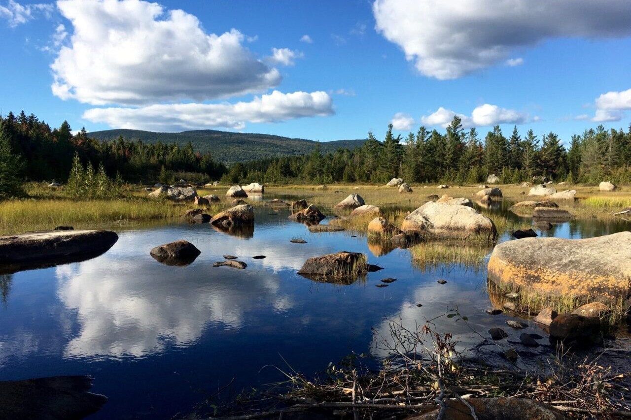
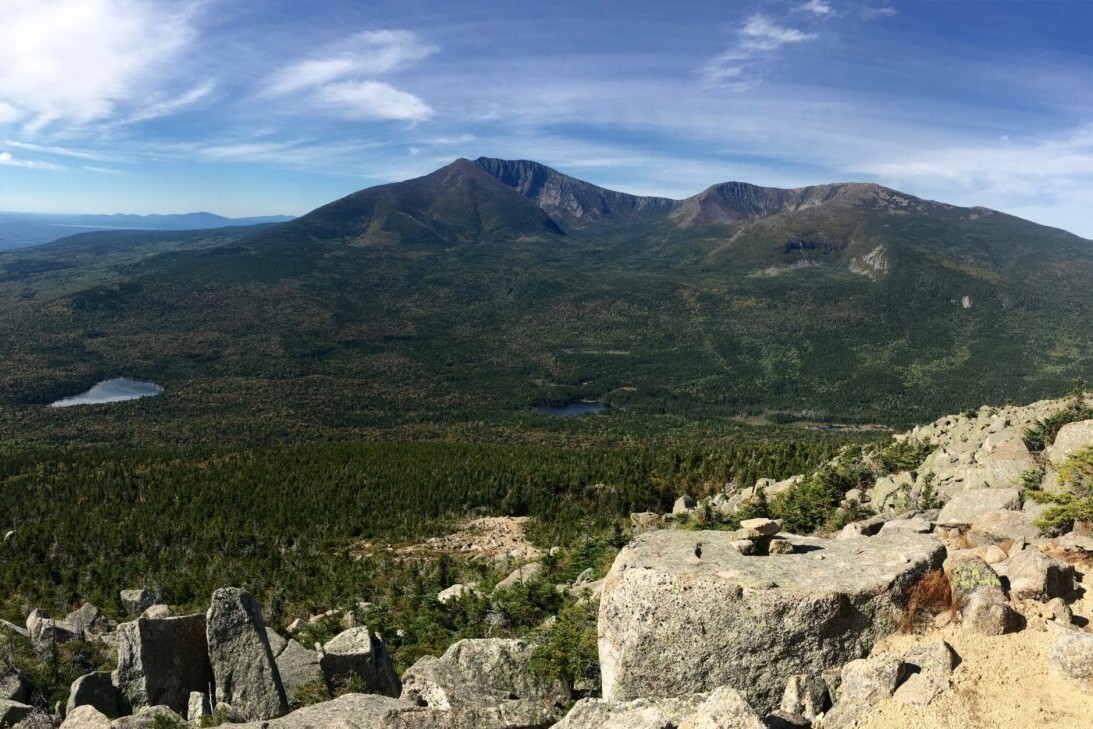
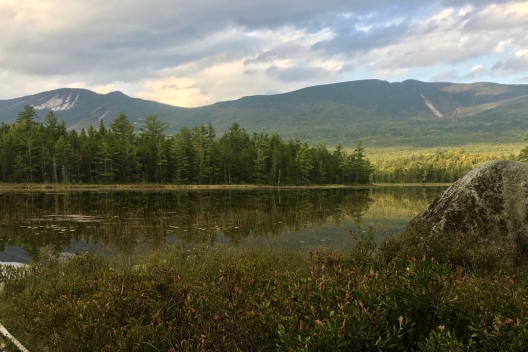
One of the crown jewels of Maine’s outdoors, Baxter State Park is home to the state’s highest peak, Mt Katahdin, as well as several other rugged mountains, dozens of lakes and ponds, several major streams, and some of the deepest wilderness in the state. Most visitors come to either camp in the pristine campgrounds around the park, or to climb Katahdin (which is also the northern terminus of the Appalachian Trail). Whatever your plan, the Park is worth as much time as you can afford to spend there.
NOTE: The trails of the Scientific Forest Management Area, and for the Katahdin Lake area, have not been added to this guide yet. All other trails are available.
ALSO: This app is not affiliated with Baxter State Park in any way. Please visit www.baxterstatepark.org for more details on visiting the Park before you go.
$9.99
Stories from the trails of Baxter State Park!
Check out our most recent blog posts about hiking in Baxter State Park.
Nothing found.
Nothing found.
Photos of Baxter State Park
Hike more.
Check out some of the other trail guides we offer!

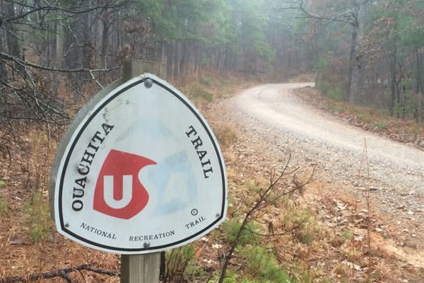
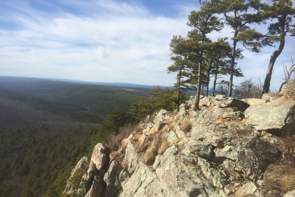
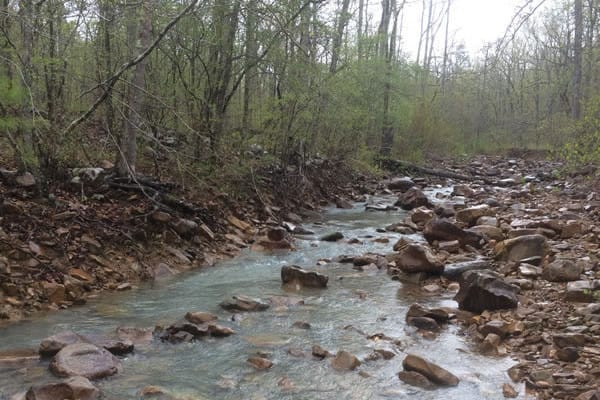
Ouachita Trail
Hike by beautiful lakes, rivers and streams, and through calm forests on the Ouachita Trail. The Ouachita National Recreation Trail is a 223-mile trail that has the honor of being the longest backpacking trail in the Ouachita National Forest, United States. The trail travels through the Ouachita Mountains from Talimena State Park in Oklahoma to Pinnacle Mountain State Park in Arkansas passing through two wilderness areas along the way. This is a great trail to hike in the fall or spring, and can also provide good winter hiking due to its lower elevation and location in the Southern United States. Though well-marked, this trail is not as well-known as other trails in the South, which makes it a great choice for hikers craving solitude. It passes by beautiful lakes, flowing rivers and streams, through calm forests, and over rolling hills.
20% off for our Hiking Season Kick-off SALE! The Arkansas Hiker Bundle is now $15.99. Explore the Arkansas Hiker bundle!
30% off for our Small Business Saturday SALE! The Arkansas Hiker Bundle is now $13.99. Explore the Arkansas Hiker bundle!
Arkansas, Ouachita Trail
Photo by Mike Simms
4.8 ★★★★★ | 17K+ Reviews
Ouachita Trail
223 miles • Arkansas & Oklahoma
Download our guide to access the Ouachita map, tracks, waypoints, and comments! Hike by beautiful lakes, rivers and streams, and through calm forests on the Ouachita Trail. The Ouachita National Recreation Trail is a 223-mile trail that has the honor of being the longest backpacking trail in the Ouachita National Forest, United States. The trail travels through the Ouachita Mountains from Talimena State Park in Oklahoma to Pinnacle Mountain State Park in Arkansas passing through two wilderness areas along the way. This is a great trail to hike in the fall or spring, and can also provide good winter hiking due to its lower elevation and location in the Southern United States. Though well-marked, this trail is not as well-known as other trails in the South, which makes it a great choice for hikers craving solitude. It passes by beautiful lakes, flowing rivers and streams, through calm forests, and over rolling hills.
$9.99 full guide
$9.99 full guide
Ouachita Trail Map


How can I get it?
The Ouachita Trail map is available as an in-app purchase in our Guthook Guides app, a free download from the Apple App Store or the Google Play Store.
Our iOS and Android apps do differ slightly in their appearance. However, the majority of their features remain the same, and they access the same trail guide data.
Save 33% off our Arkansas hiking trails with the Arkansas Hiker Special! Includes: Ouachita Trail, Ozark Highlands Trail, Buffalo River Trail and Eagle Rock Loop
$19.99
Eastern 20 miles of the Ouachita National Recreation Trail & the Pinnacle Mountain State Park trail system.
FREE DEMO
Entire 223-mile Ouachita National Recreation Trail from Talimena State Park (Oklahoma) to Pinnacle Mountain State Park (Arkansas). 400 + waypoints, 450+ photos.
$9.99
Photos of the Ouachita Trail


Hike more.
Check out some of the other trail guides we offer!
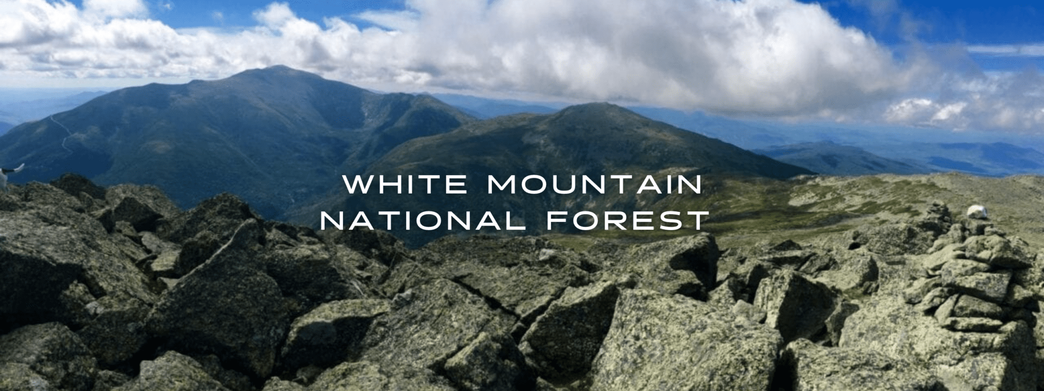
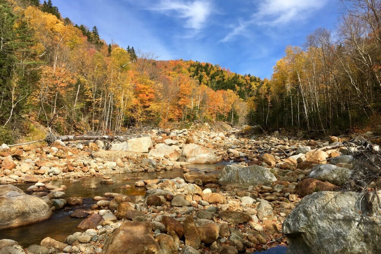
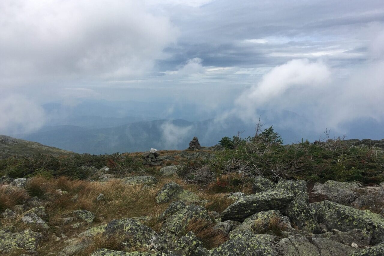
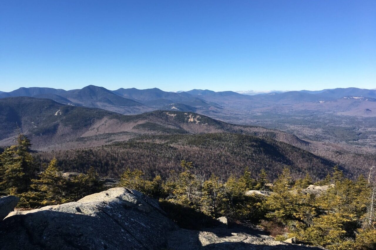
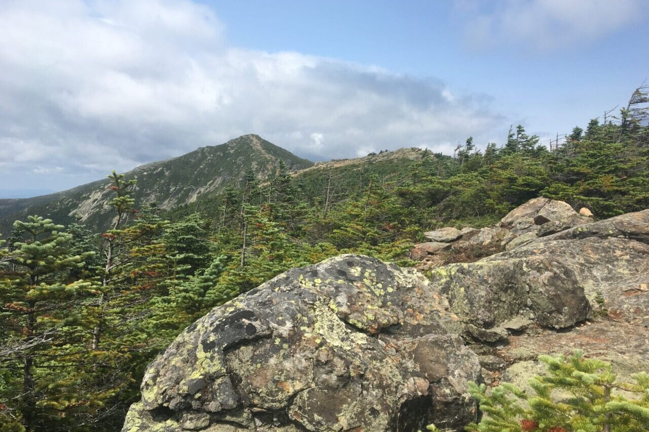
White Mountain National Forest
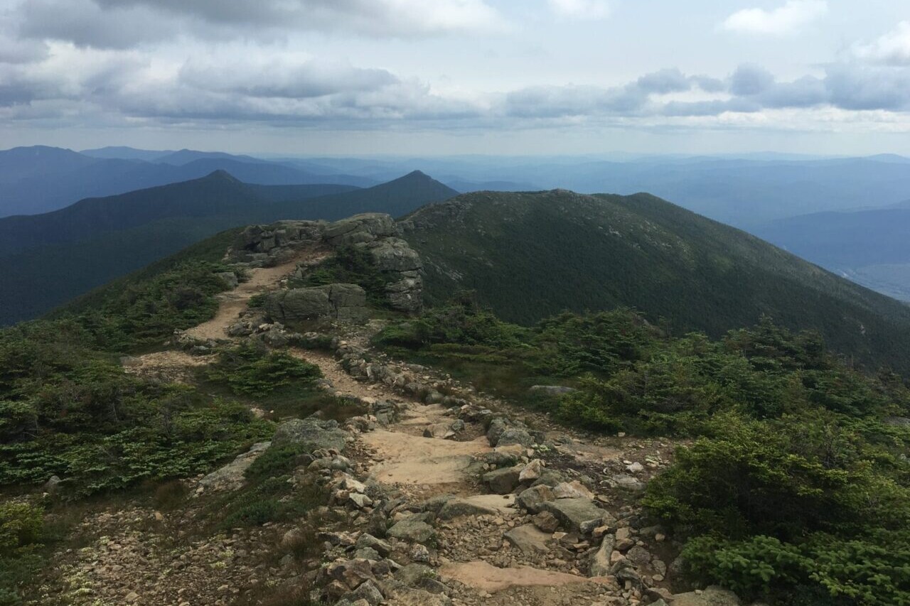
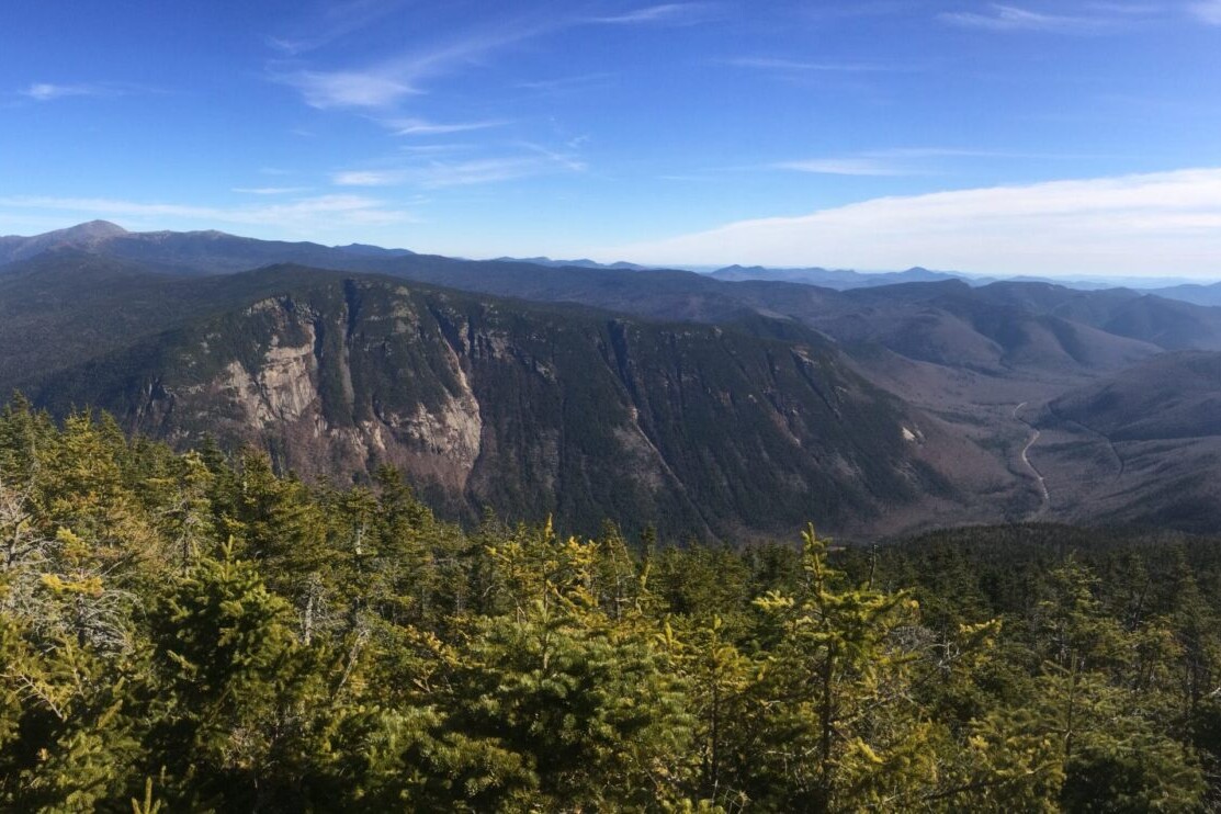
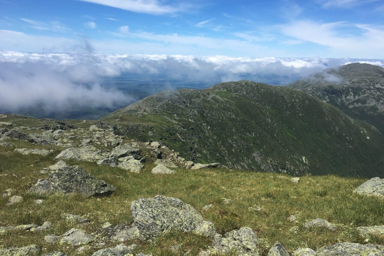
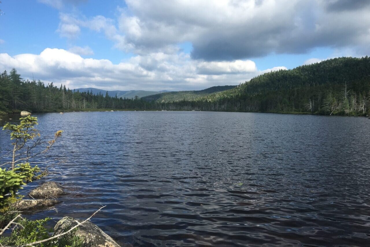
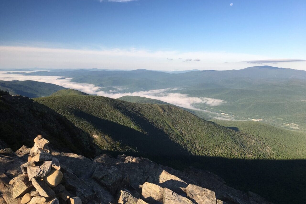
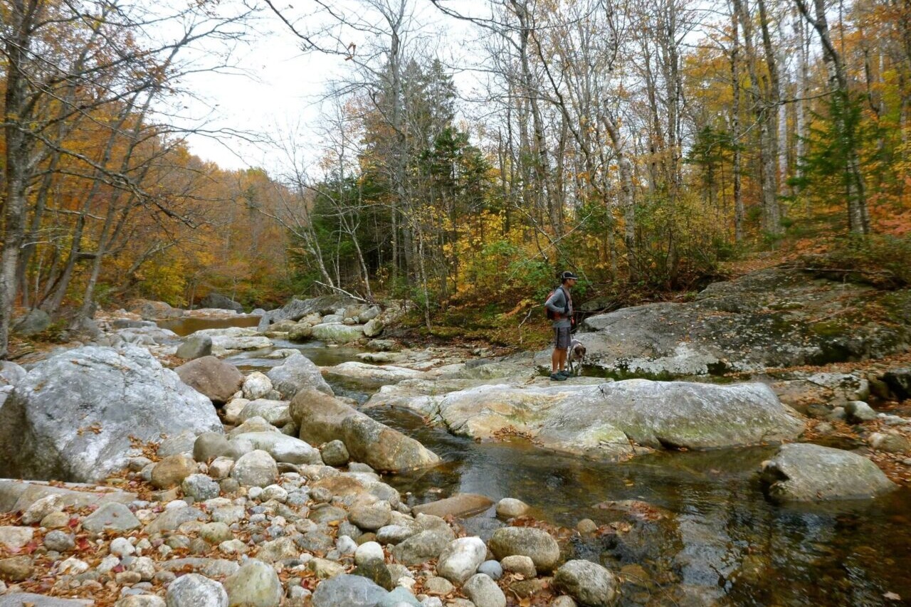
Climb among the Presidential peaks and along the rugged ridges of the White Mountain National Forest in New Hampshire. White Mountain National Forest is home to New Hampshire’s highest peaks. These peaks are also some of the most famous in the entire country. Mount Washington and the Presidential Range are some of the most rugged and impressive peaks on the east coast, and have been a mecca for outdoor recreation for generations. In the White Mountains, you will find New Hampshire’s 48 Four-Thousand Footers, over a thousand miles of hiking trails, and endless possibilities for hiking adventures, including a section of the Appalachian Trail.
20% off for our Hiking Season Kick-off SALE! The White Mountain National Forest Bundle is now $23.99.
30% off for our Small Business Saturday SALE! The White Mountain National Forest Bundle is now $20.99.
Presidential Range, White Mountains National Forest, New Hampshire
Photo by Ryan Linn
4.8 ★★★★★ | 17K+ Reviews
White Mountain National Forest
250+ miles of trails • New Hampshire & Maine
Download our guide to access the White Mountain National Forest maps, tracks, waypoints, and comments! Climb among the Presidential peaks and along the rugged ridges of the White Mountain National Forest. White Mountain National Forest is home to New Hampshire’s highest peaks. These peaks are also some of the most famous in the entire country. Mount Washington and the Presidential Range are some of the most rugged and impressive peaks on the east coast, and have been a mecca for outdoor recreation for generations. In the White Mountains, you will find New Hampshire’s 48 Four-Thousand Footers, over a thousand miles of hiking trails, and endless possibilities for hiking adventures, including a section of the Appalachian Trail.
$29.99 full guide 7 sections ($3.99 to $6.99 each)
$29.99 full guide
7 sections ($3.99 to $6.99 each)
White Mountain National Forest Map


How can I get it?
The White Mountain National Forest map is available as an in-app purchase in our Guthook Guides app, a free download from the Apple App Store or the Google Play Store.
Our iOS and Android apps do differ slightly in their appearance. However, the majority of their features remain the same, and they access the same trail guide data.
This bundle includes all of our guide sections for the White Mountain National Forest, home of New Hampshire’s highest peaks. Mount Washington and the Presidential Range are some of the most rugged and impressive peaks on the east coast, and have been a mecca for outdoor recreation for generations.
In the White Mountains, you will find New Hampshire’s 48 Four-Thousand Footers, over a thousand miles of hiking trails, and endless possibilities for hiking adventures.
$29.99
One of the quietest parts of the White Mountains, the Caribou-Speckled Mountain Wilderness and its surroundings east of Route 113 are almost entirely within the state of Maine, and top out at around 2900 feet in elevation. But the size of the hills here belie the beautiful scenery and lovely views from the wilderness area’s namesake mountains, as well as Blueberry Ledge, Deer Hill, and Albany Mountain.
Also home to the Appalachian Mountain Club’s Cold River Camp, this is a great area for lighter day-hikes and escapes from the more crowded high peaks of the Whites.
$4.99
The northernmost region of the White Mountains includes the Kilkenny Ridge Trail and all trails that link to it, with access to Mounts Cabot and Waumbek. This region of the Whites is the most remote due to its long distance from major population centers, and is a fine place to find solitude on a long hike. There are a total of about 40 miles of trail in this guide.
NH 4000 Footers:
•Mount Cabot
•Mount Waumbek
Backcountry Campsites:
•Unknown Pond Campsite
•Rogers Ledge Campsite
•Cabot Cabin
$3.99
The Western region of the White Mountains includes all major trails west of Interstate 93 and east of Route 25. 4000-Footers Mt Moosilauke, South Kinsman, North Kinsman, and Cannon are highlights, along with Lonesome Lake Hut and the Kinsman Ridge traverse. Also of note are the trails in the Three Ponds area, and several short trails to less-traveled peaks like Rattlesnake Mountain, Stinson Mountain, and Blueberry Mountain. In all, there are about 130 miles of hiking trails in this guide.
AMC Huts:
•Lonesome Lake Hut
NH 4000 Footers:
•Mount Moosilauke
•South Kinsman Mountain
•North Kinsman Mountain
•Cannon Mountain
Backcountry Campsites:
•Eliza Brook Shelter
•Kinsman Pond Shelter
•Three Ponds Shelter
•Beaver Brook Shelter
•Jeffers Brook Shelter
•Coppermine Shelter
$6.99
The region of the White Mountain National Forest surrounding the Pemigewasset Wilderness includes twenty of New Hampshire’s 4000 Footers (Franconia Ridge, Twins, Bonds, Carrigain, Hancocks, Zealand, Willey Range, and Garfield), as well as several popular campsites, waterfalls, and high mountain ponds.
This section includes all major trails bounded by Route 3, Route 302, the Kancamagus Highway, and Bear Notch Road— a total of nearly 200 miles of trail.
AMC Huts:
•Greenleaf Hut
•Galehead Hut
•Zealand Falls Hut
NH 4000 Footers:
•Mount Flume
•Mount Liberty
•Mount Lincoln
•Mount Lafayette
•Mount Garfield
•Galehead Mountain
•South Twin Mountain
•North Twin Mountain
•Mount Bond
•West Bond Mountain
•Bondcliff
•Zealand Mountain
•Mount Hale
•Mount Tom
•Mount Field
•Mount Willey
•Mount Carrigain
•Mount Hancock
•South Mount Hancock
•Owl’s Head
Backcountry Campsites:
•Liberty Springs Campsite
•Garfield Ridge Shelter
•Thirteen Falls Campsite
•Guyot Shelter
•Ethan Pond Shelter
•Sawyer Pond Shelter
•Franconia Brook Campsite
$6.99
Mount Washington and the Presidential Range of New Hampshire’s White Mountains are the highest and most daunting mountains of the northeast. The area contains nine of New Hampshire’s 4000-footers, 3 AMC Huts, and around 250 miles of hiking trails.
AMC Huts:
•Mizpah Springs Hut
•Lakes of the Clouds Hut
•Madison Springs Hut
NH 4000 Footers:
•Mount Washington
•Mount Adams
•Mount Madison
•Mount Jefferson
•Mount Eisenhower
•Mount Monroe
•Mount Pierce
•Mount Jackson
•Mount Isolation
Backcountry Campsites:
•Grey Knob Cabin
•Crag Camp
•The Log Cabin
•The Perch
•Hermit Lake Shelters
•Nauman Tentsite
•Dry River Shelter #3
•Rocky Branch Shelter #1
*Mt Langdon Shelter
•Osgood Tentsite
•Valley Way Tentsite
$6.99
The region of the White Mountain National Forest south of the Kancamagus Highway and generally around the Sandwich Range Wilderness includes seven of New Hampshire’s 4000 Footers (Tecumseh, the Osceolas, the Tripyramids, Whiteface and Passaconaway), as well as one of the highlights of the Whites, Mt Chocorua.
This section includes about 220 miles of trails, bounded by Route 112 (The Kancamagus Highway) to the north, and US Route 3 and Interstate 93 to the west.
NH 4000 Footers:
•Mount Osceola
•East Osceola
•Mount Tecumseh
•North Tripyramid
•Middle Tripyramid
•Mount Passaconaway
•Whiteface Mountain
Backcountry Campsites:
•Flat Mountain Pond Shelter
•Jim Liberty Cabin
•Camp Penacook
•Black Mountain Pond Campsite
$6.99
The region of the White Mountain National Forest surrounding the Wild River Wilderness includes six of New Hampshire’s 4000 Footers (the Wildcat Range and the Carter-Moriah Range), as well as the popular Baldface Range, Kearsarge North, and many fine campgrounds and backpacking trails.
This section includes about 150 miles of trails, bounded by US Route 2 to the north, Routes 16 and 113 to the west and east, and the town of North Conway to the south.
AMC Huts:
•Carter Notch Hut
NH 4000 Footers:
•Wildcat Mountain
•Wildcat D Peak
•Carter Dome
•South Carter Mountain
•Middle Carter Mountain
•Mount Moriah
Backcountry Campsites:
•Rattle River Shelter
•Imp Shelter
•Baldface Shelter
•Blue Brook Campsite
•Spruce Brook Campsite
•Perkins Notch Campsite
•Black Mountain Cabin
•Doublehead Cabin
•Mountain Pond Shelter
$6.99
Stories from the trails of White Mountain National Forest!
Check out our most recent blog posts about hiking in White Mountain National Forest.
Nothing found.
Nothing found.
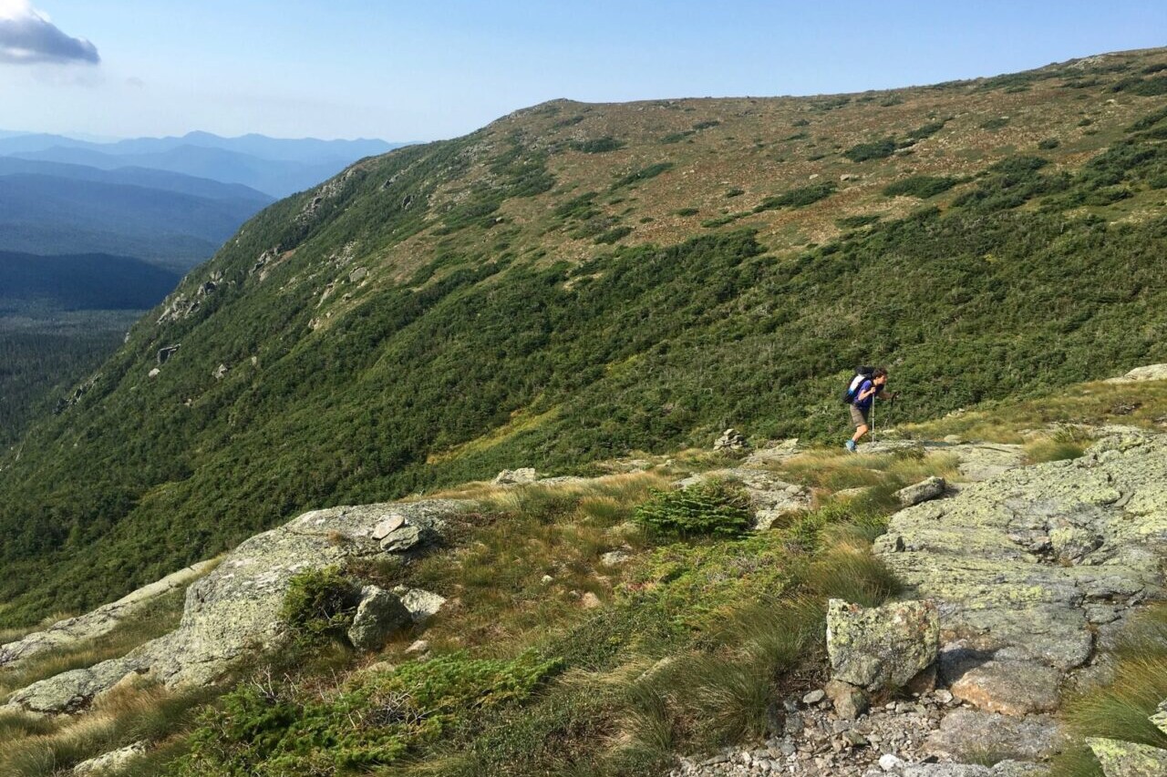
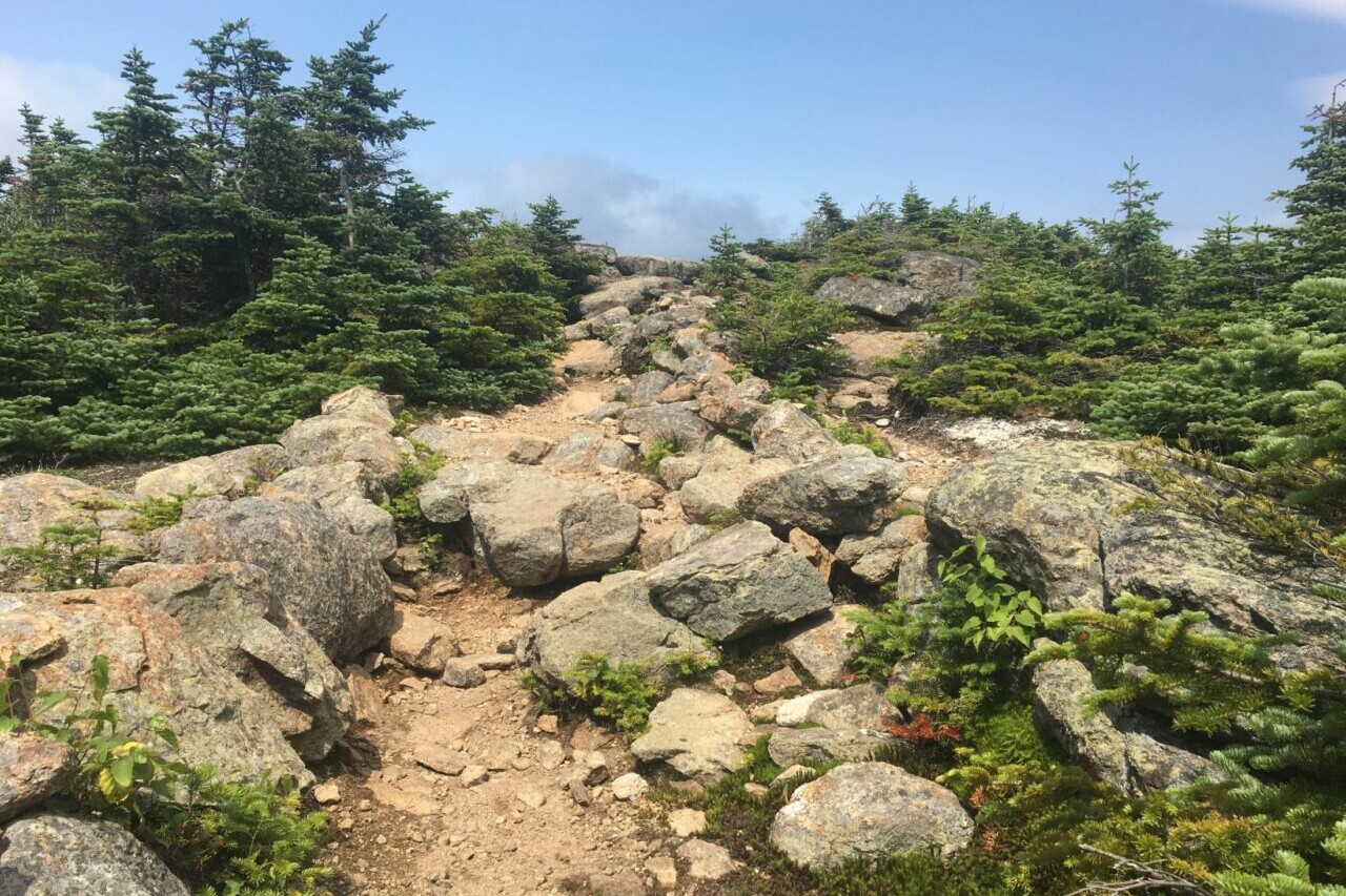
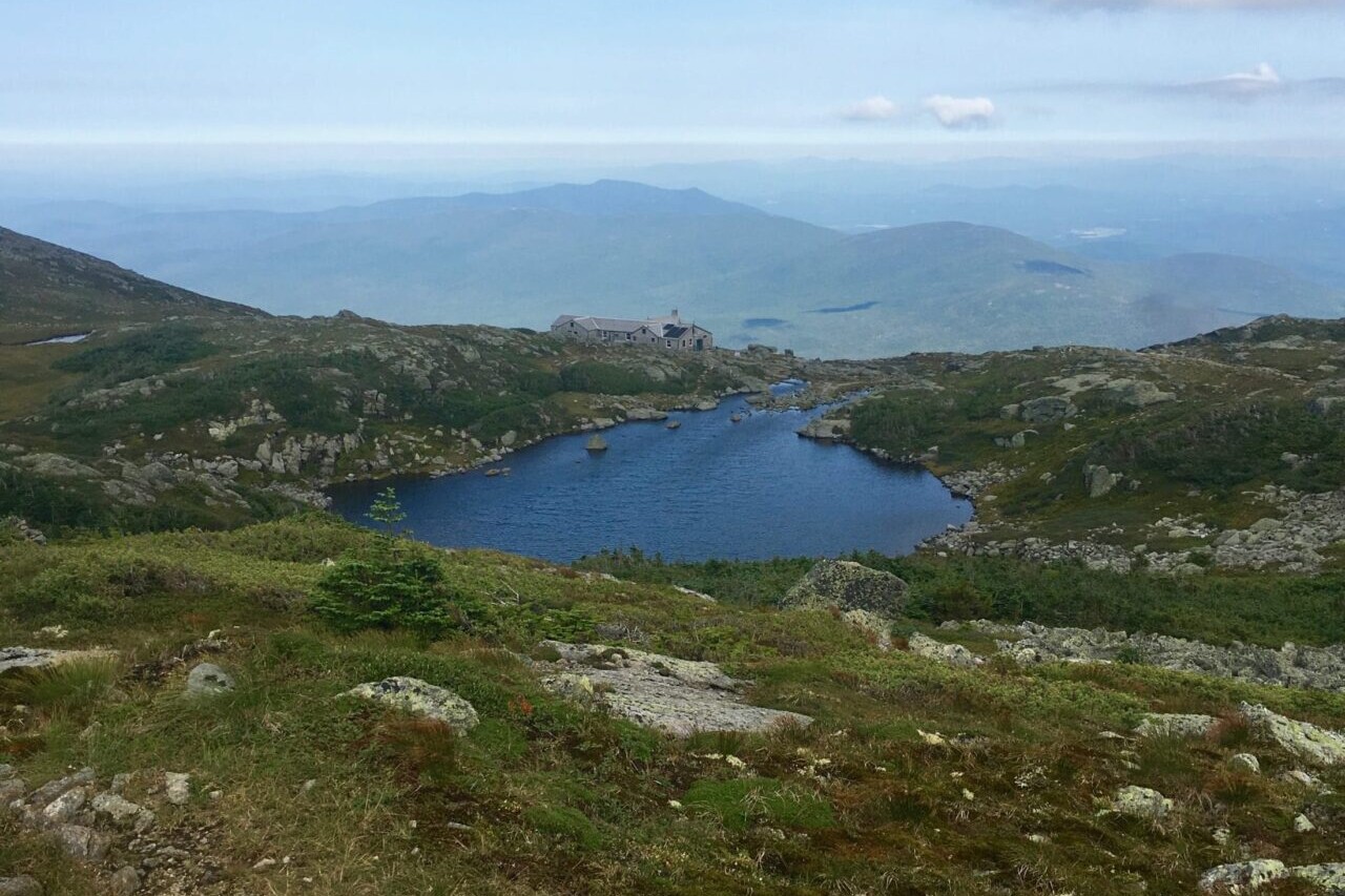
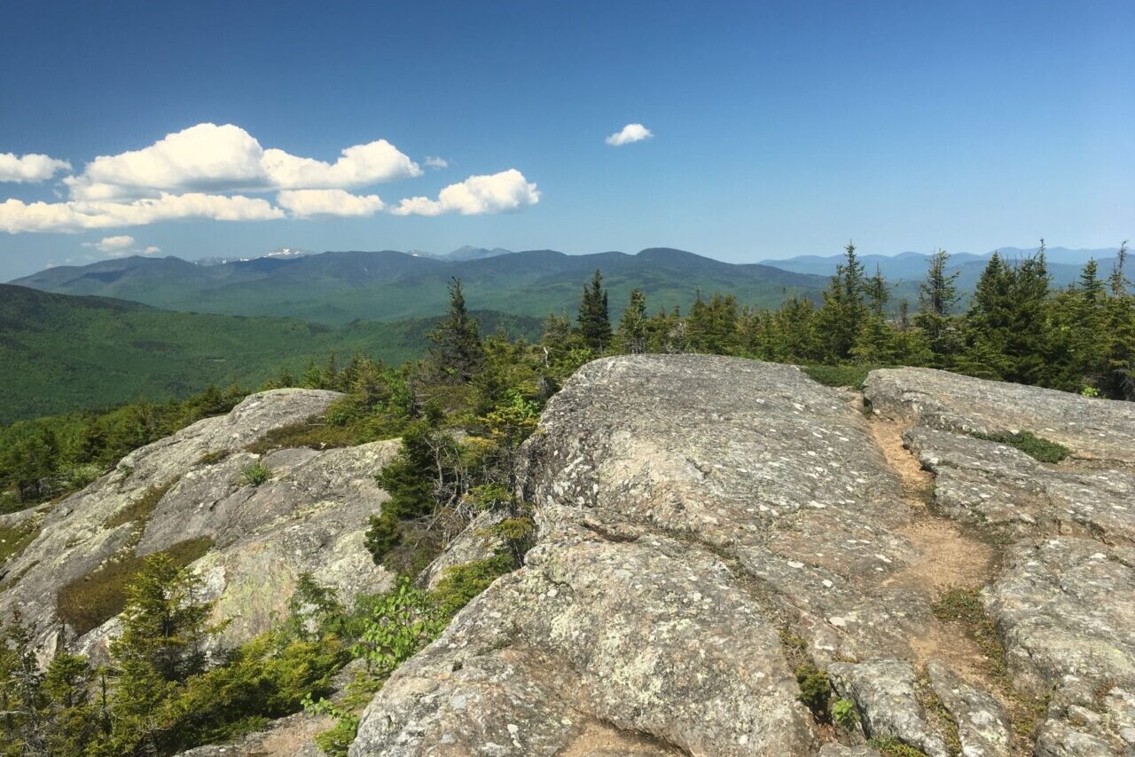
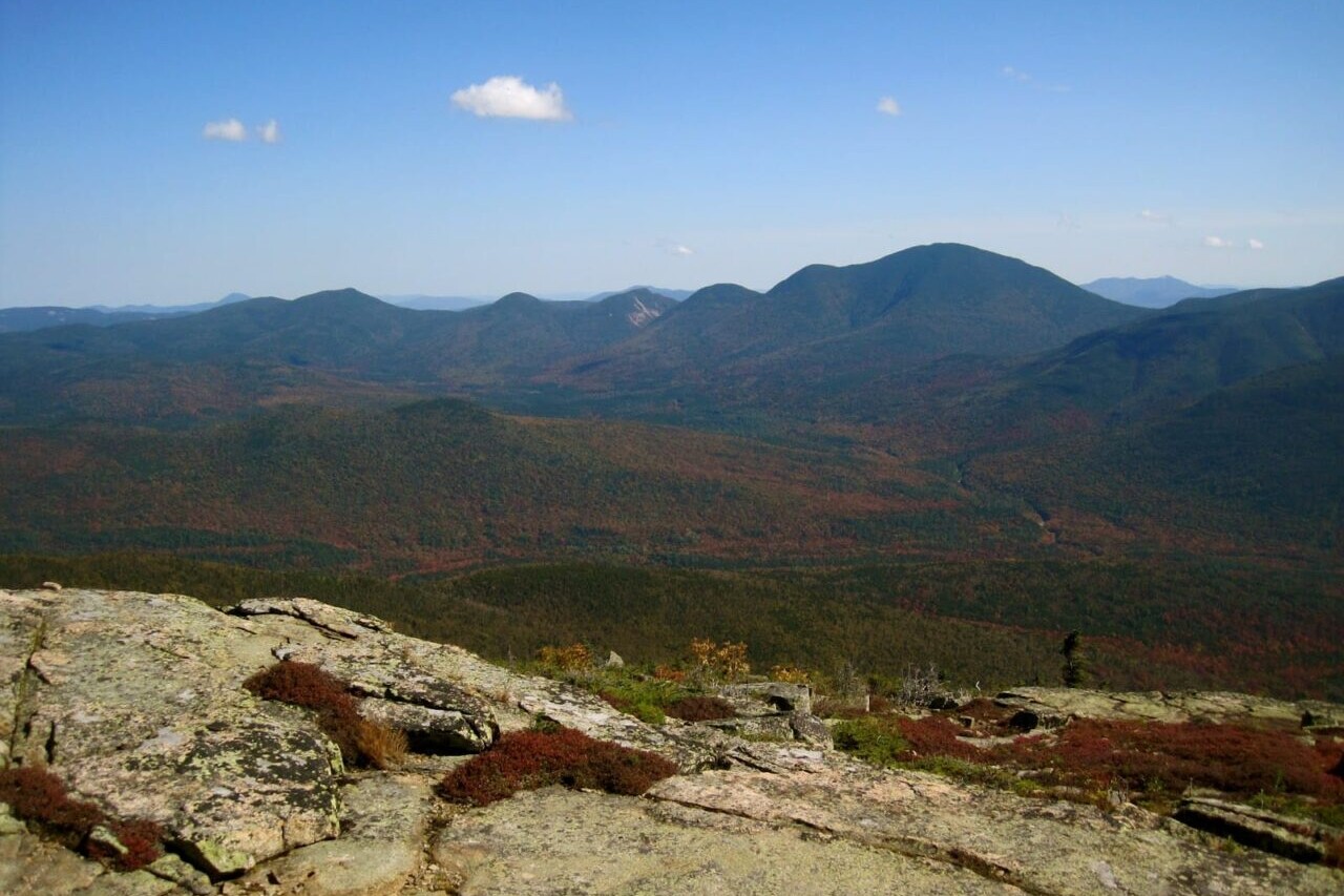
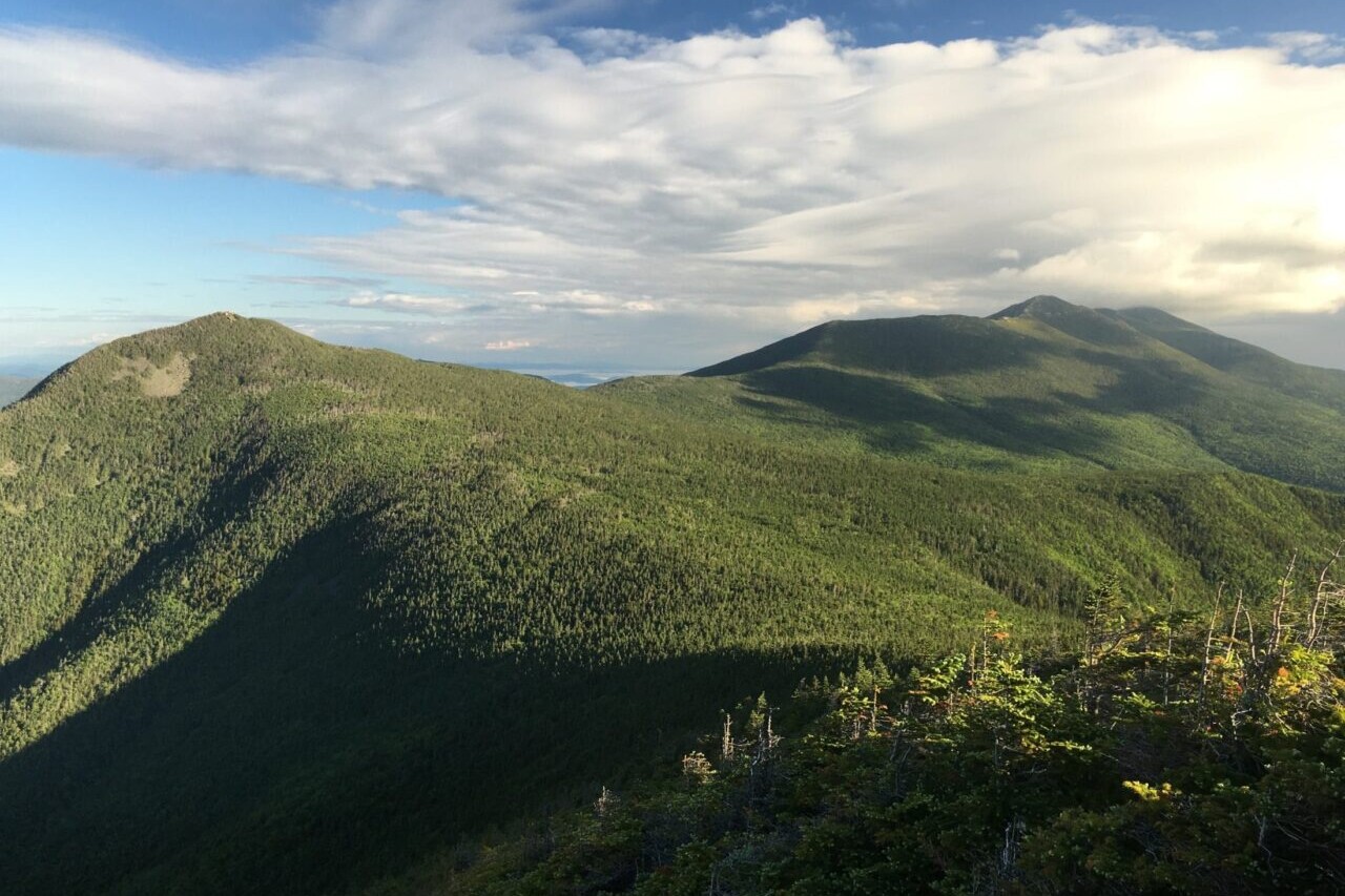
Photos of White Mountains National Forest
Hike more.
Check out some of the other trail guides we offer!

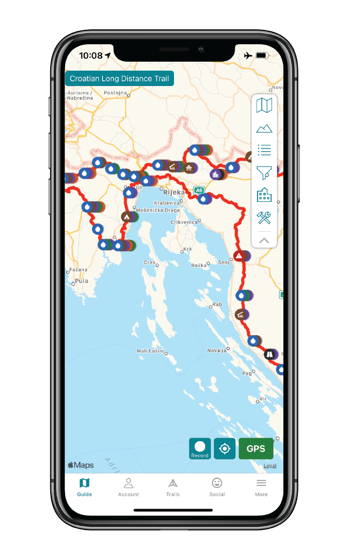
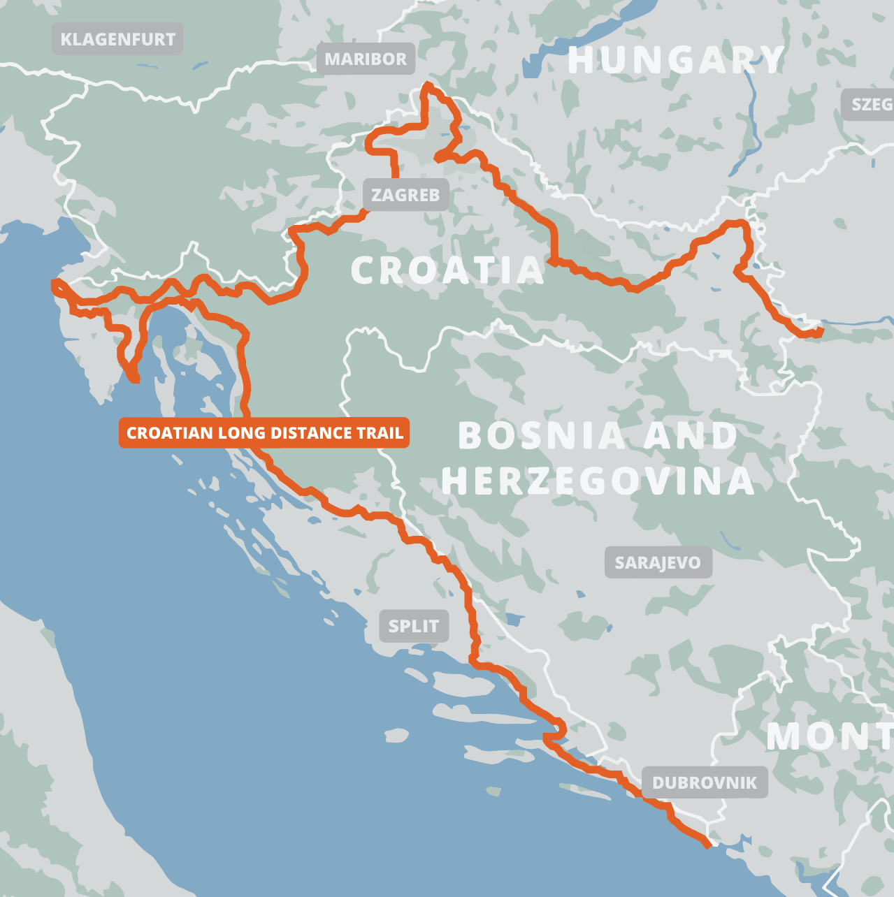
Croatian Long Distance Trail
High mountain trails, beautiful forests, and glittering coastline on the Croatian Long Distance Trail. The Croatian Long Distance Trail is a 2,145 km (1,333 mi) national scenic hiking trail that winds its way through the beautiful landscape of Croatia from the eastern terminus in Ilok—near the beautiful Fruška Gora mountain—to the most northern point, Sveti Martin na Muri, then to the most western point, Savudrija, and on southwards past scenic tourist destinations Split and Dubrovnik tothe southernmost point, Prevlaka. The trail itself is characterized by an avoidance of asphalt roads. It instead takes hikers on a journey of mountain trails, rolling hills, beautiful forests, wide plains, glittering coastline, and three stunning national parks. Europe.
20% off for our Hiking Season Kick-off SALE! The Croatian Long Distance Trail is now $19.99.
Croatian Long Distance Trail
Photo courtesy of the Croatian Long Distance Trail Association
4.8 ★★★★★ | 17K+ Reviews
Croatian Long Distance Trail
2140 km / 1330 miles • Croatia
Official App of the Croatia Long Distance Trail Association
Download our guide to access the Croatian Long Distance Hiking Trail map, tracks, waypoints, and comments! High mountain trails, beautiful forests, and glittering coastline on the Croatian Long Distance Trail. The Croatian Long Distance Trail is a 2,140 km (1,330 mi) national scenic hiking trail that winds its way through the beautiful landscape of Croatia from the eastern terminus in Ilok—near the beautiful Fruška Gora mountain—to the most northern point, Sveti Martin na Muri, then to the most western point, Savudrija, and on southwards past scenic tourist destinations Split and Dubrovnik to the southernmost point, Prevlaka. The trail itself is characterized by an avoidance of asphalt roads. It instead takes hikers on a journey of mountain trails, rolling hills, beautiful forests, wide plains, glittering coastline, and three stunning national parks.
$24.99 full guide 3 sections ($11.99 each)
$24.99 full guide
3 sections ($11.99 each)
Croatian Long Distance Trail Map

How can I get it?
The Croatian Long Distance Trail map is available as an in-app purchase in our Guthook Guides app, a free download from the Apple App Store or the Google Play Store.
Our iOS and Android apps do differ slightly in their appearance. However, the majority of their features remain the same, and they access the same trail guide data.
This demo section of the Croatian Long Distance Trail starts at the western-most point in Croatia on the Adriatic Sea in Basanija, and heads south along the sea for 20 km to Karigador.
Entire 2140-km/1330-mile Croatian Long Distance Trail. Purchase the thru-hiker special and save 30% over buying Sections A, B, and C separately.
$24.99
Section A of the Croatian Long Distance Trail is 572km / 355 miles. This section is a diverse portion of CLDT. Starting from the Danube River in eastern Croation, you will experience plains, forests, mountains and hills as you head northwest to Marof on the Mur River.
$11.99
Section B of the Croatian Long Distance Trail is 576 km / 358 miles. It heads southwest from the Mur River in Marof to the westernmost point of Istria Peninsula on the Adriatic Sea, passing northwest of the capital city of Zagreb along the way.
$11.99
Section C of the Croatian Long Distance Trail is the longest section, at 992 km / 616 miles. It begins at the western-most point of Croatia on the Istria Peninsula, on the Adriatic Sea in Basanjia, and heads southeast parallel to the coast, crossing over to the Peljesac peninsula, and ending at the southern-most point of Croatia at the Prevlaka peninsula on the Adriatic Sea.
$11.99
Cheers to giving back! Your purchase helps support the Croatian Long Distance Trail Association’s work to preserve and maintain the trail. Learn about the Croatian Long Distance Trail Association.
Photos of the Croatian Long Distance Trail


Hike more.
Check out some of the other trail guides we offer!
About our partner
Croatian Long Distance Trail Association
The Croatian Long Distance Trail Association is a non-profit organization that helps manage the Croatian Long Distance Trail, a national scenic long distance trail meant to be thru-hiked or hiked in sections throughout Croatia. The Association is a dedicated group of individuals committed to building, maintaining, and promoting recreation on the CLDT.
The Croatian Long Distance Trail Association is working to create, build, and mark the 2140-km Croatian Long Distance Trail. The Association is tied together with a common string – love towards mountains, nature, hiking, and protection of the outdoors – and putting its efforts toward an uninterrupted mountain-hiking trail across Croatia.
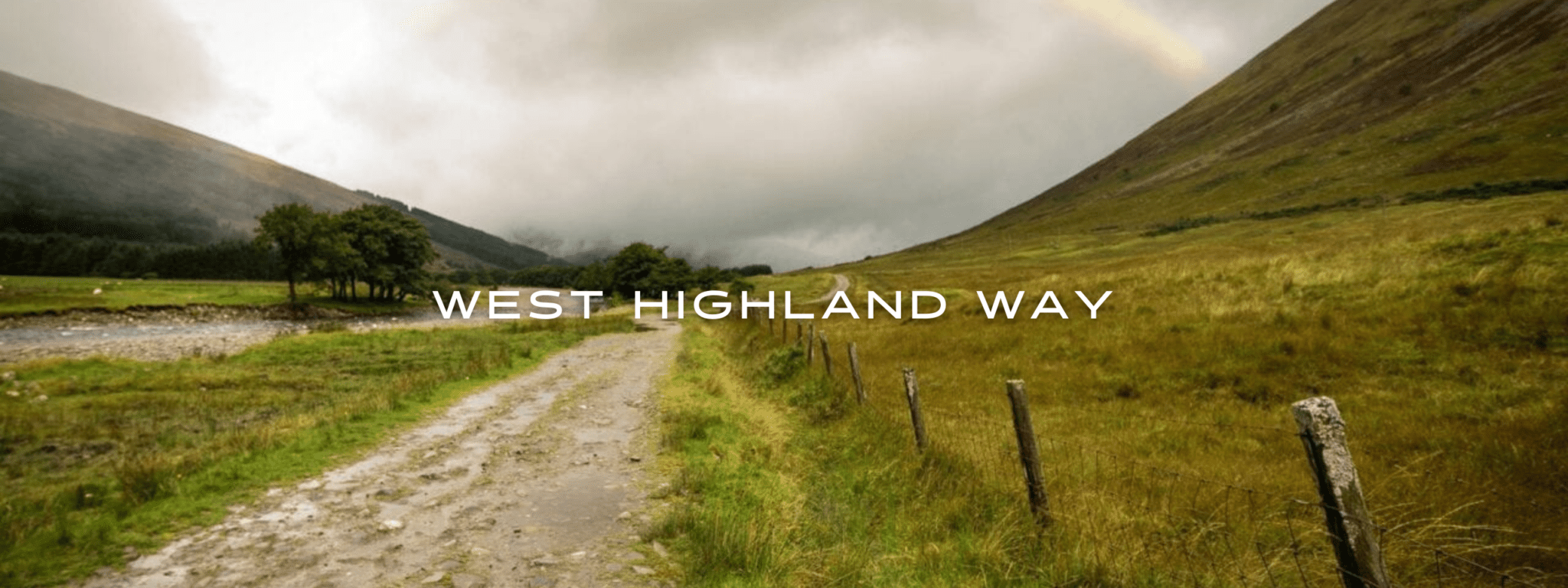
West Highland Way
Official Companion App to the Trailblazer Guidebook to the West Highland Way. Explore the parks, moors, mountains, and lochs of Scotland on the famous West Highland Way. The West Highland Way is a 96-mile (154km) trail that passes through some of the most spectacular scenery in all of Britain. From the outskirts of Glasgow it winds along the wooded banks of Loch Lomond, across the wilderness of Rannoch Moor, over the mountains above Glencoe to a dramatic finish below Ben Nevis—Britain’s highest mountain. Europe.
20% off for our Hiking Season Kick-off SALE! The Trailblazer Special is now $19.99. Explore the Trailblazer Special!
20% off for our Boxing Day SALE! The Trailblazer Special is now $18.99. Explore the Trailblazer Special!
Scotland, West Highland Way
Photo by Asa Rodgers
4.8 ★★★★★ | 17K+ Reviews
West Highland Way
96 miles • Scotland
Official Companion App to Trailblazer's West Highland Way by Charlie Loram
Download our guide to access the West Highland Way map, tracks, waypoints, and comments! Explore the parks, moors, mountains, and lochs of Scotland on the famous West Highland Way. The West Highland Way is a 96-mile (154km) trail that passes through some of the most spectacular scenery in all of Britain. From the outskirts of Glasgow it winds along the wooded banks of Loch Lomond, across the wilderness of Rannoch Moor, over the mountains above Glencoe to a dramatic finish below Ben Nevis—Britain's highest mountain.
$5.99 full guide A Trailblazer Guide
$5.99 full guide
A Trailblazer Guide
West Highland Way Map


How can I get it?
The West Highland Way map is available as an in-app purchase in our Guthook Guides app, a free download from the Apple App Store or the Google Play Store.
Our iOS and Android apps do differ slightly in their appearance. However, the majority of their features remain the same, and they access the same trail guide data.
Purchase all Trailblazer apps in one package. Includes South Downs Way, Coast to Coast, West Highland Way, Hadrian’s Wall Path, The Cotswold Way, and The Ridgeway. Purchase now and you will receive any new apps we add in the future at no additional cost.
$24.99
This app is the companion to Trailblazer’s West Highland Way guide book. The West Highland Way is a 96-mile (154km) trail that passes through some of the most spectacular scenery in all of Britain. From the outskirts of Glasgow it winds along the wooded banks of Loch Lomond, across the wilderness of Rannoch Moor, over the mountains above Glencoe to a dramatic finish below Ben Nevis – Britain’s highest mountain.
$5.99
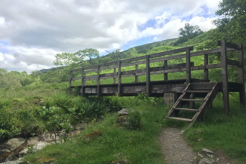
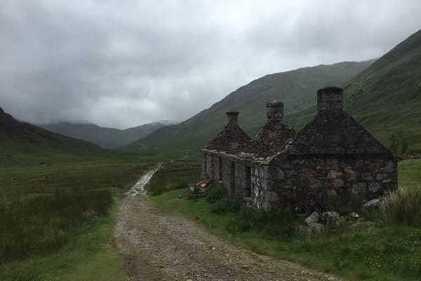
Photos of the West Highland Trail
Hike more.
Check out some of the other trail guides we offer!
About our partner
Trailblazer Guides
Since 1991 Trailblazer has been publishing a select list of practical guidebooks written by travellers for travellers. Their guidebooks include everything from adventure travel guides, to rail guides, to worldwide trekking guides, including British walking guides. Trailblazer guides are entertaining as well as informative, and are strong on practical information without neglecting the cultural background.
Atlas Guides created and maintains the official app of Trailblazer’s British Walking Guides.
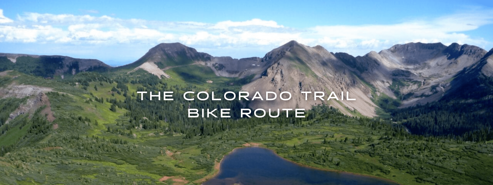
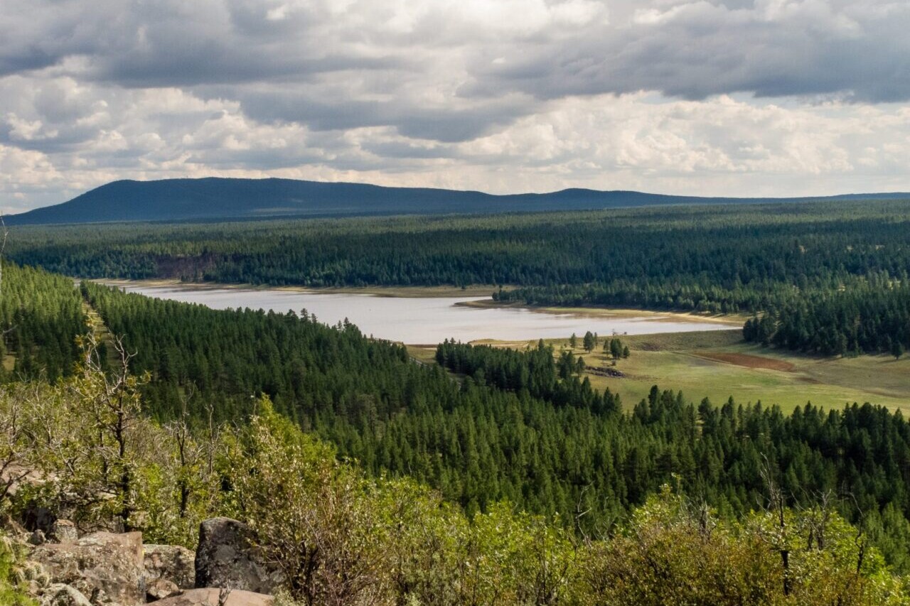
Colorado Trail Bike Route
Official app of The Colorado Trail Foundation. The Colorado Trail Bike Route is a challenging and rewarding ride of 540 miles that stretches from Denver to Durango, passing through stunning landscapes. Bikers will traverse many mountain ranges, including the Colorado Rocky Mountains, during their journey. The trail is also perfect for hikers of all kinds. We have a companion hiking app available in our Guthook Guides app. Our data for The Colorado Trail guide was collected in partnership with Bear Creek Survey Service, LLC. For more information about their work, visit their website at bearcreeksurvey.com!
20% off for our Hiking Season Kick-off SALE! The Colorado Trail Bike Route is now $15.99.
30% off for our Small Business Saturday SALE! The Colorado Trail Bike Route is now $13.99.
Taylor Lake, La Plata Mountains, The Colorado Trail Bike Route
Photo courtesy of The Colorado Trail Foundation

The Colorado Trail Bike Route
540 miles • Colorado
Official App of The Colorado Trail Foundation
The Colorado Trail Bike Route is a challenging and rewarding ride of 540 miles that stretches from Denver to Durango, passing through stunning landscapes. Bikers will traverse many mountain ranges, including the Colorado Rocky Mountains, during their journey. The trail is also perfect for hikers of all kinds. We have a companion hiking app available in our Guthook Guides app. Our data for The Colorado Trail guide was collected in partnership with Bear Creek Survey Service, LLC. For more information about their work, visit their website at bearcreeksurvey.com!
$19.99 full guide
540 mi (870 km)
$19.99 full guide
Official App
Colorado Trail Bike Map


How can I get it?
Available as an in-app purchase in our Bikepacking Guides app, a free download from the Apple App Store or the Google Play Store.
Our iOS and Android apps do differ slightly in their appearance. However, the majority of their features remain the same, and they access the same trail guide data.
Purchase of The Colorado Trail Bike Route includes The Colorado Trail biking route (540 miles).
Cheers to giving back! Part of your purchase of The Colorado Trail Bike Route goes to support The Colorado Trail Foundation’s work to preserve and maintain the hiking trail and bike route. Learn about The Colorado Trail Foundation.
Stories from the Colorado Trail Bike Route!
Check out our most recent blog posts about biking The Colorado Trail.
Nothing found.
Nothing found.
Ride more.
Check out some of the other mountain biking guides we offer!
About our partner
The Colorado Trail Foundation
The Colorado Trail Foundation is a 501(c)(3) nonprofit organization that works to keep The Colorado Trail in good condition. The CTF organizes the volunteers who built The Colorado Trail, as well as those who continue to improve and maintain it.
The Colorado Trail Foundation works with Atlas Guides to create, improve, and update the official Colorado Trail hiking app.
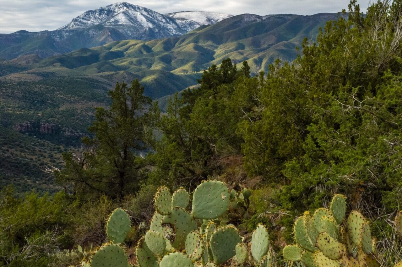
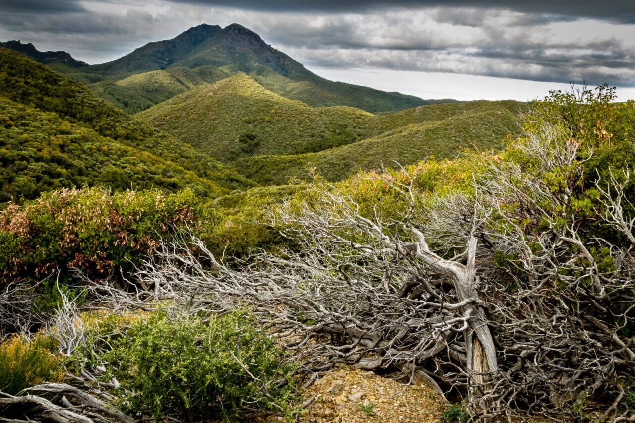
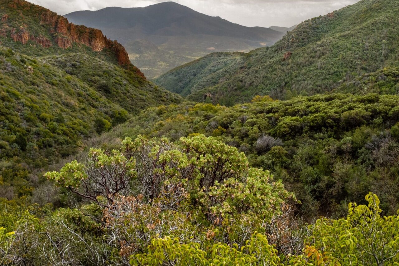
Arizona Trail Bike Demo
Official app of the Arizona Trail Association. The Arizona National Scenic Trail Bike Route stretches 830 scenic miles across the state of Arizona from Mexico to Utah. It passes through some of the most diverse and beautiful landscapes in the state. Our mountain biking guide is the official app of the Arizona Trail Association, stewards of the Arizona Trail. Check out the official Arizona Trail hiking guide in our Guthook Guides app.
20% off for our Hiking Season Kick-off SALE! The Arizona Trail Bike Route is now $7.99.
30% off for our Small Business Saturday SALE! The Arizona Trail Bike Route is now $6.99.
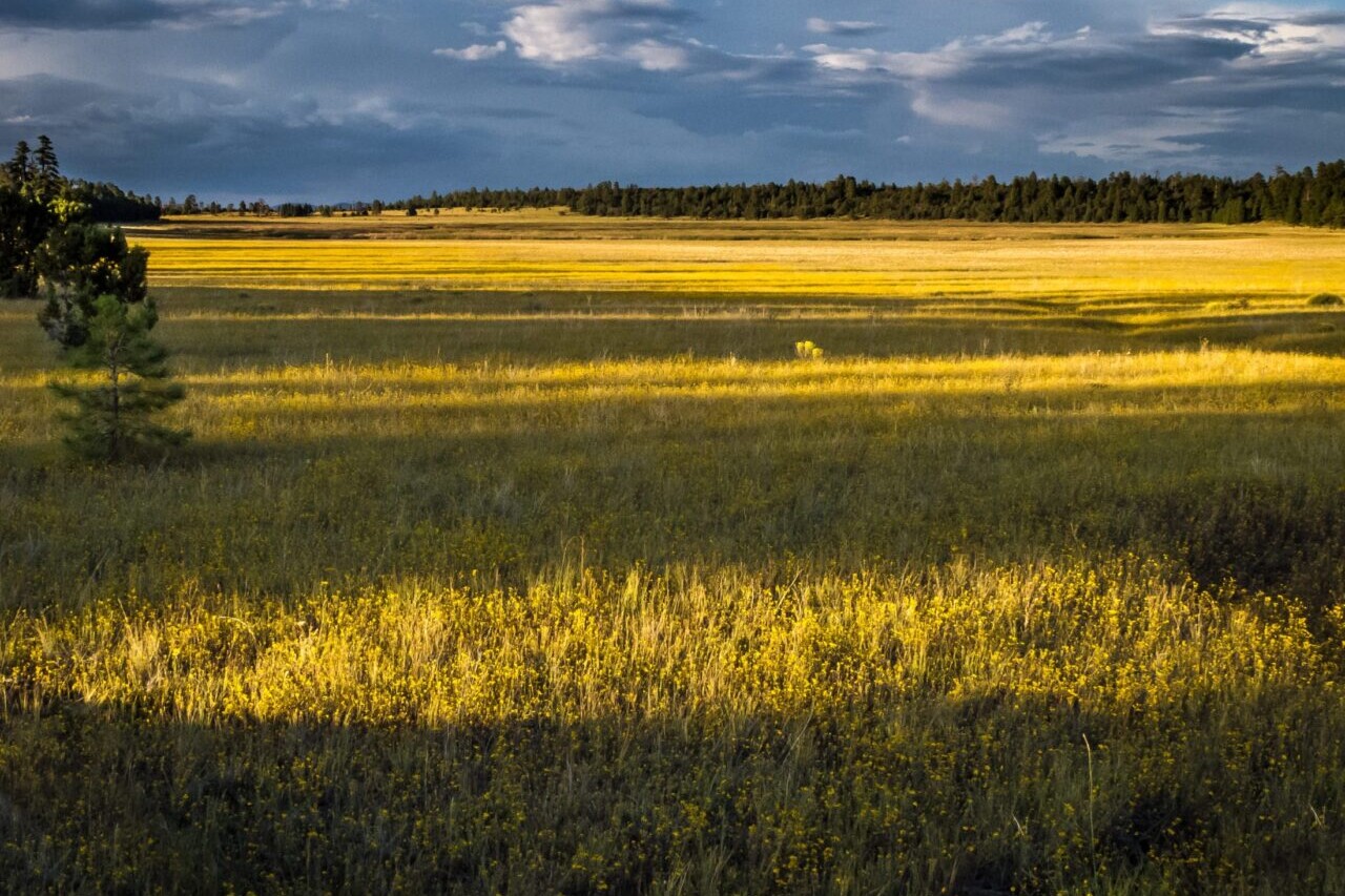
Kaibab Plateau, Arizona Trail Bike Route
Photo courtesy of the Arizona Trail Association
Arizona Trail Bike Route
830 miles • Arizona
Official App of the Arizona Trail Association
The Arizona National Scenic Trail Bike Route stretches 830 scenic miles across the state of Arizona from Mexico to Utah. It passes through some of the most diverse and beautiful landscapes in the state. Our mountain biking guide is the official app of the Arizona Trail Association, stewards of the Arizona Trail. Check out the official Arizona Trail hiking guide in our Guthook Guides app.
$9.99 full guide
800 mi (1280 km)
$9.99 full guide
Official App
Arizona Trail Map


How can I get it?
Available as an in-app purchase in our Bikepacking Guides app, a free download from the Apple App Store or the Google Play Store.
Our iOS and Android apps do differ slightly in their appearance. However, the majority of their features remain the same, and they access the same trail guide data.
Official bike route of the Arizona Trail Association with waypoints for the Arizona Trail and Flagstaff Urban Trail alternate.

Cheers to giving back! Part of your purchase of the Arizona Trail Bike Route goes to support the Arizona Trail Association’s work to preserve and maintain the hiking trail and bike route. Learn about the Arizona Trail Association.
Stories from the Arizona Trail Bike Route!
Check out our most recent blog posts about biking the Arizona Trail.
Nothing found.
Nothing found.


Ride more.
Check out some of the other mountain biking guides we offer!
About our partner
Arizona Trail Association
The mission of the Arizona Trail Association is to protect, maintain, enhance, promote and sustain the Arizona Trail as a unique encounter with the land. A nonprofit organization, the ATA has trained and coordinated tens of thousands of volunteers to help build and maintain the Arizona Trail since 1994. Their primary focus is on protecting and maintaining the trail, though they also have a number of outreach programs to engage community members in the Arizona Trail experience.
In partnership with the Arizona Trail Association, Atlas Guides has created the official Arizona Trail app, which offers the most relevant information on the Arizona Trail. Together with the ATA, we work to provide frequent updates to the app.