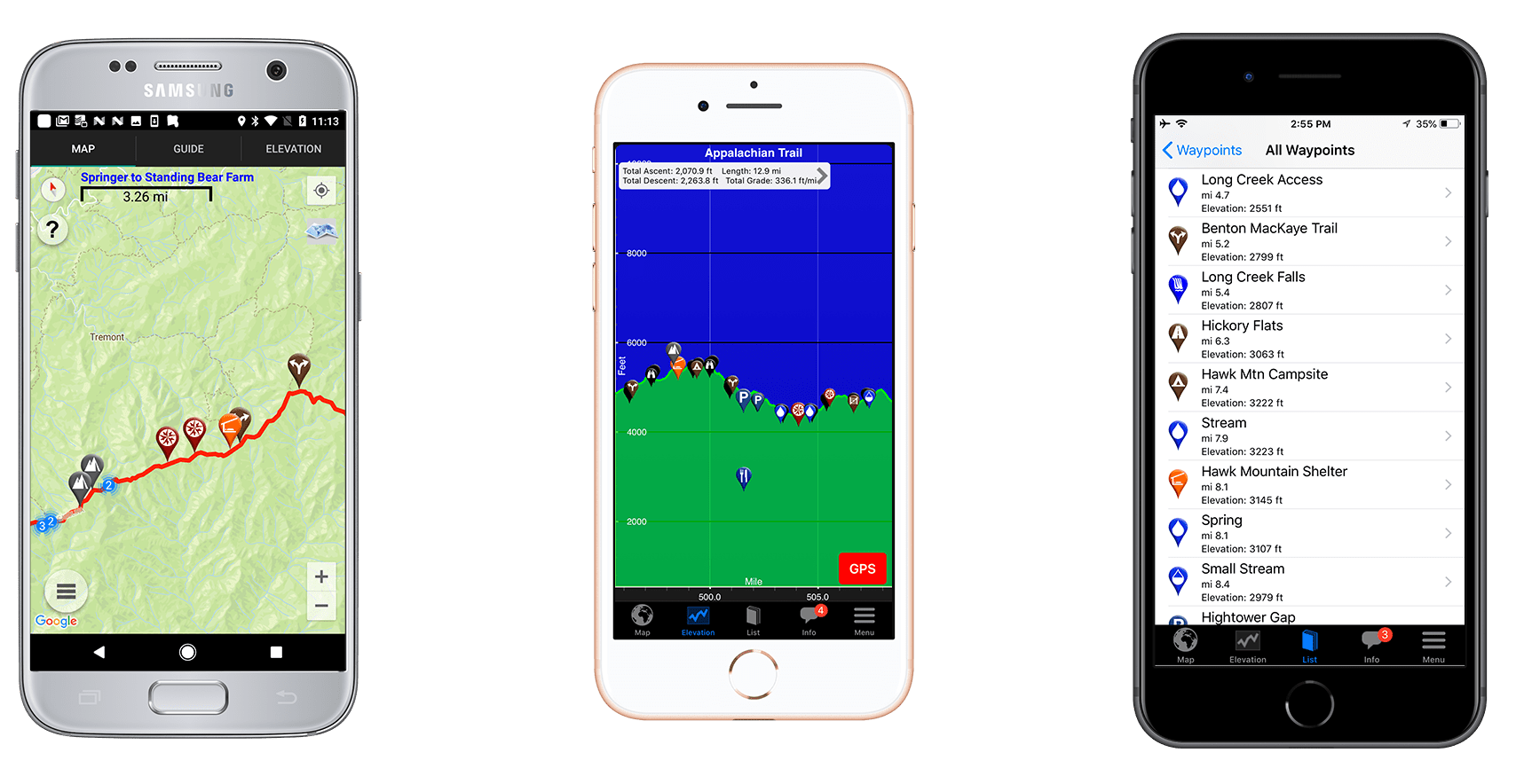
Camino de Santiago Demo

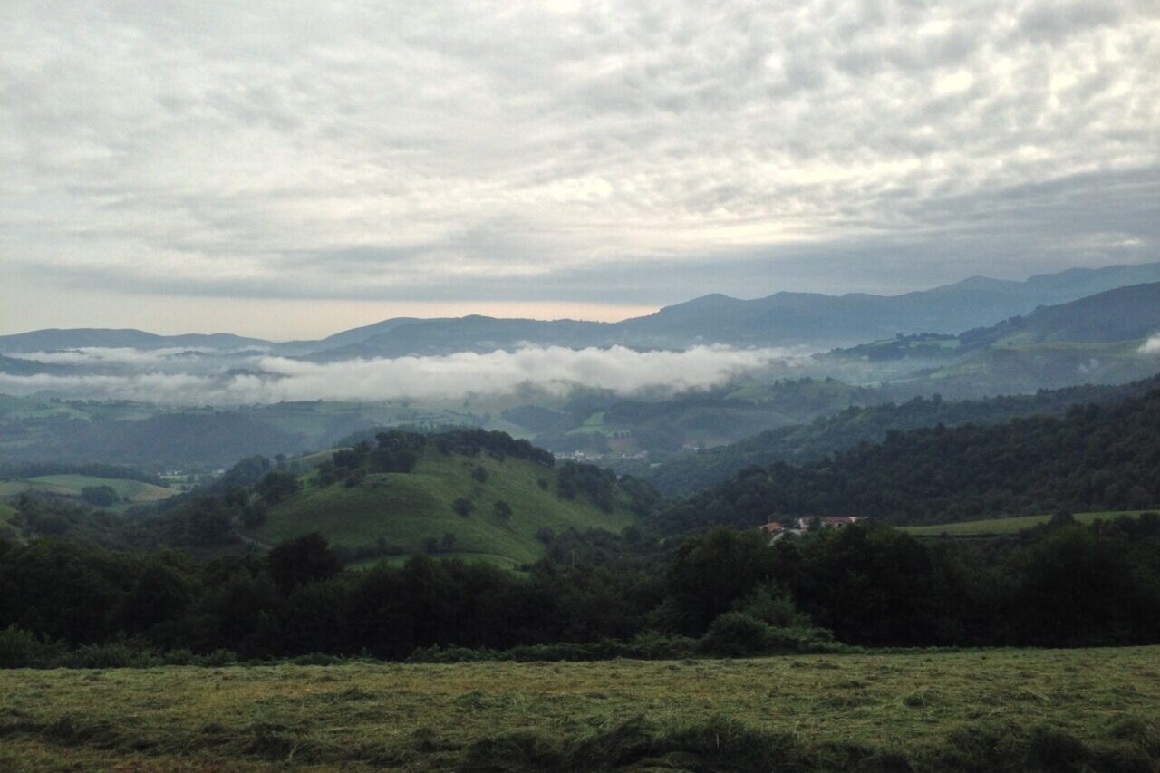
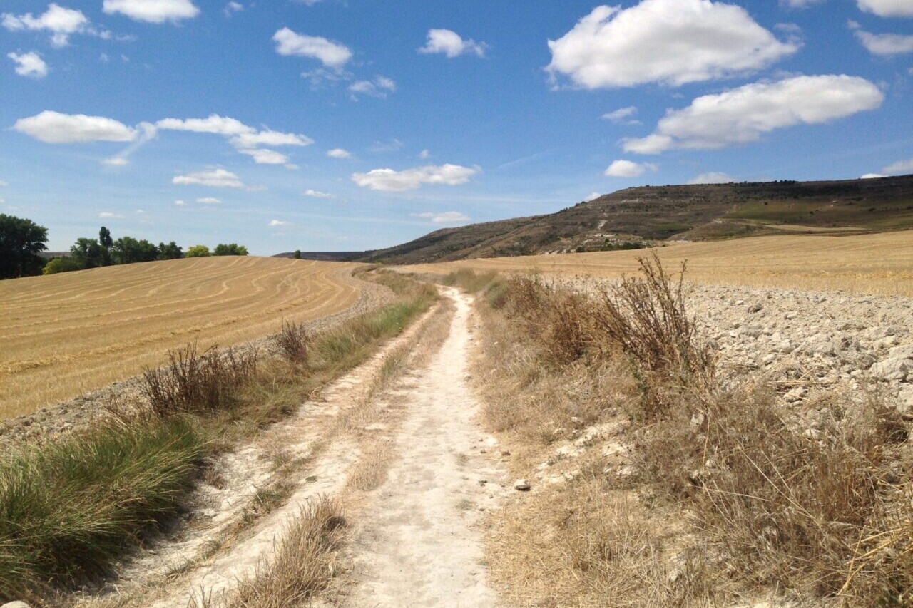
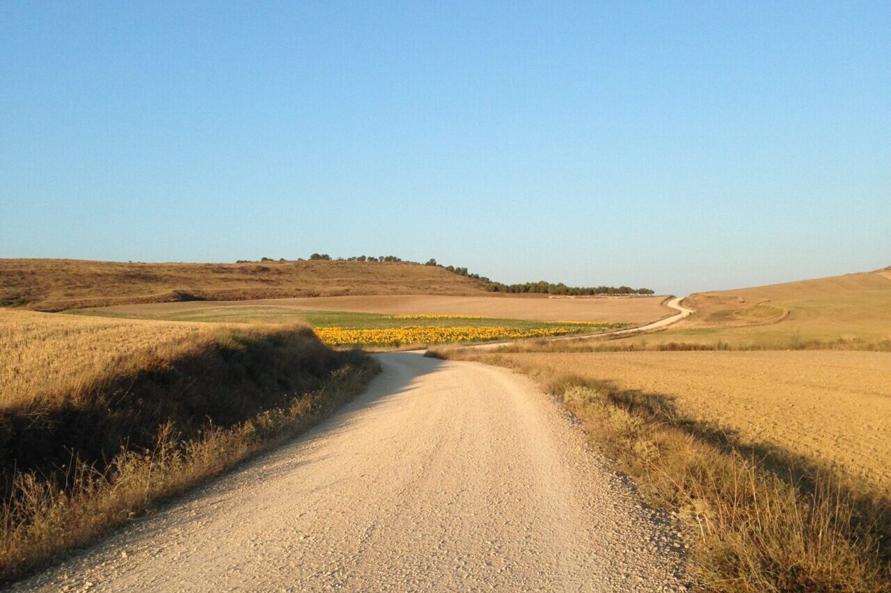
The Camino de Santiago is a network of ancient and historic pilgrimage walking routes that lead to the cathedral of Santiago de Compostela in Spain. The Camino Francés is the most famous of the Camino routes, and has been walked by millions of pilgrims over 1200 years. At its longest, it stretches over 750 km (460 mi) from St. Jean Pied de Port, France, to Santiago de Compostela. It is a walk full of history, culture, and spectacular countrysides.
Recently updated! New accommodation listings are now available for our Camino de Santiago guide.
20% off for our Hiking Season Kick-off SALE! The Camino Francés is now $5.99.
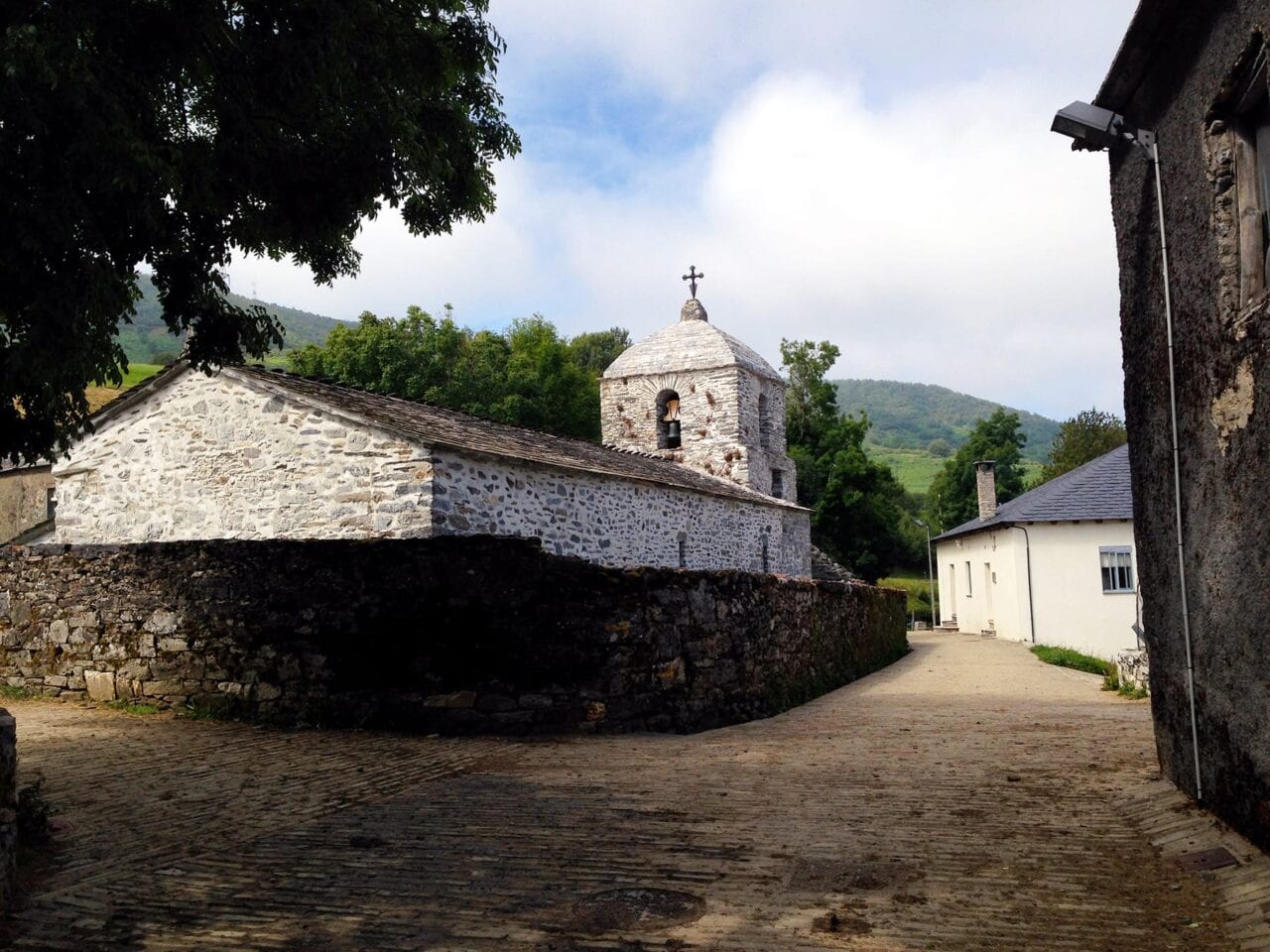
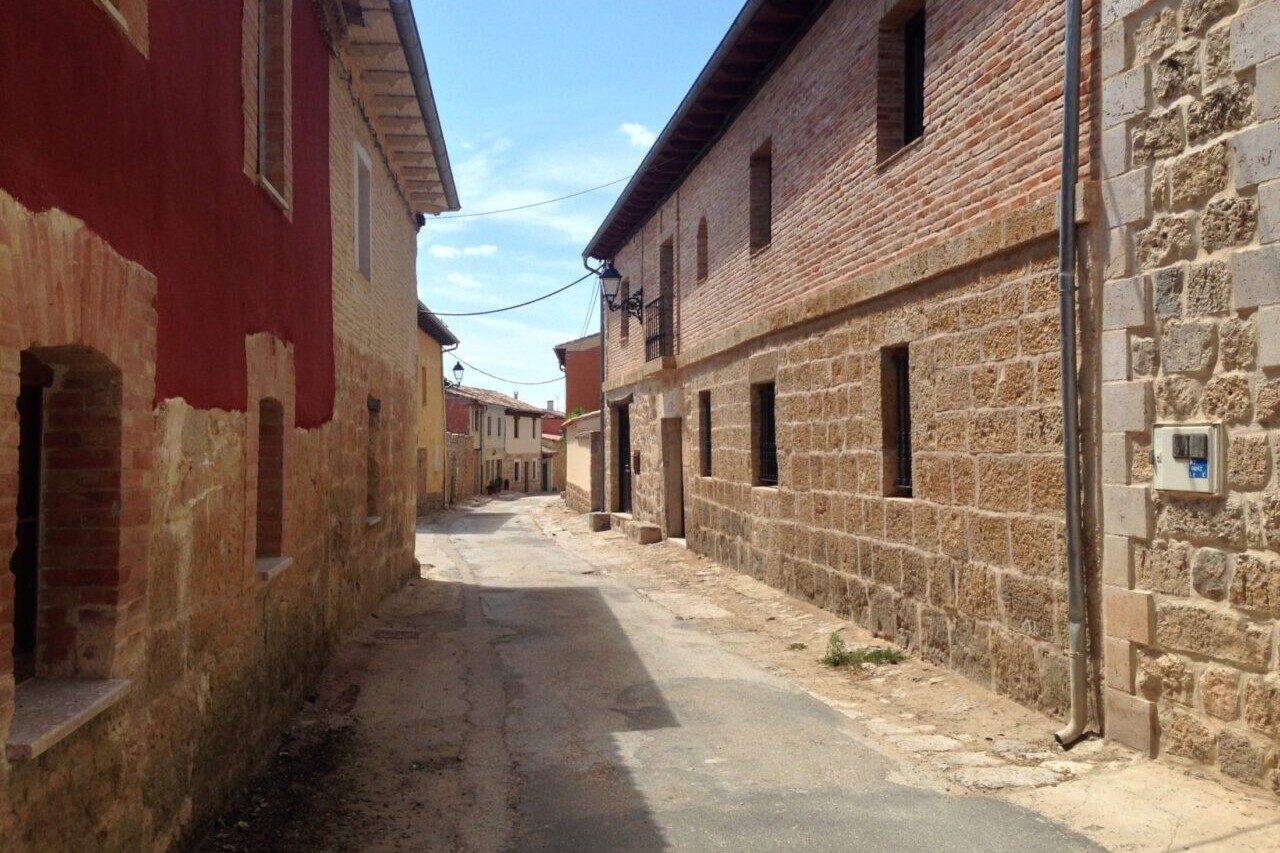
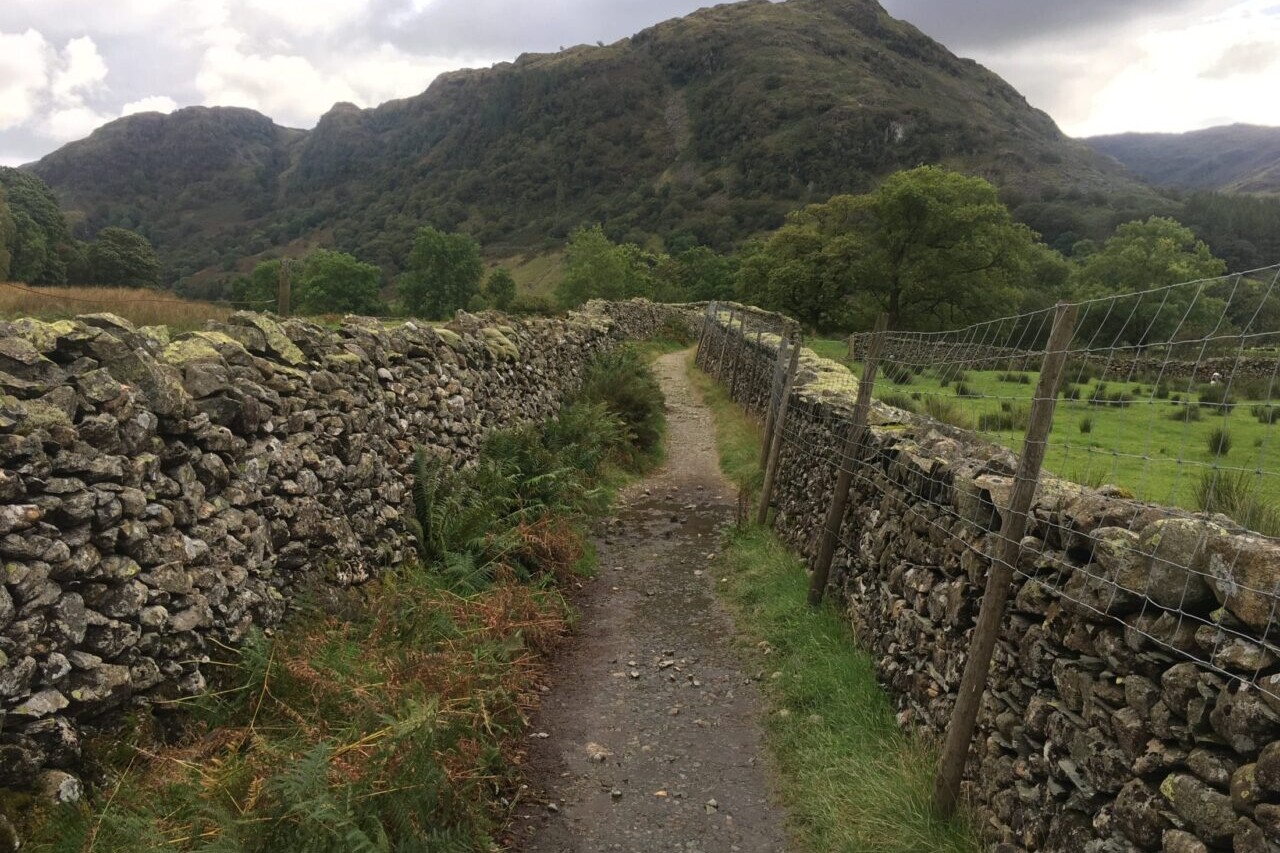
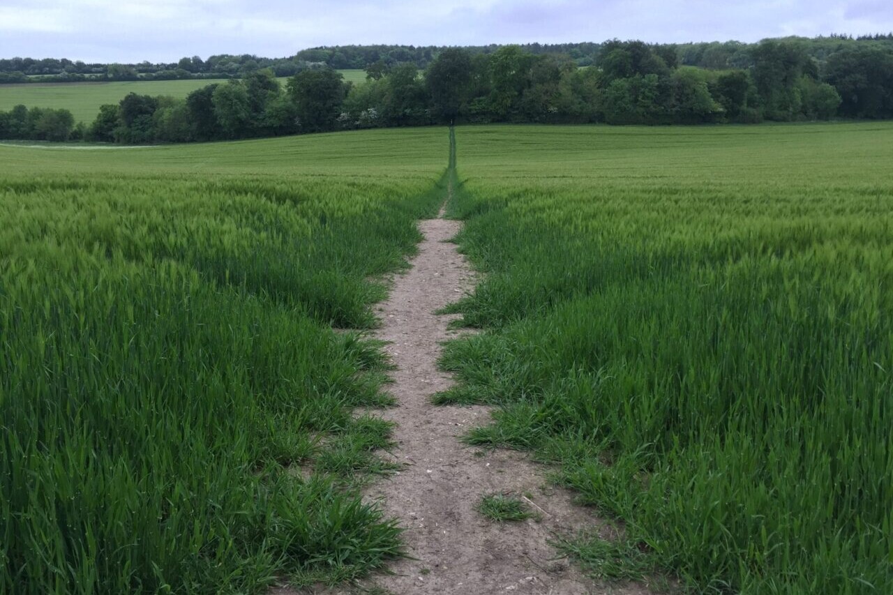
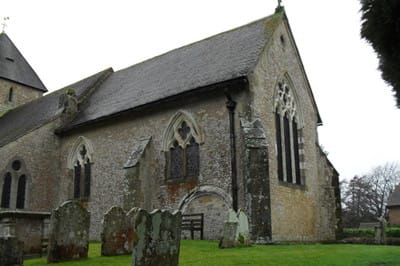
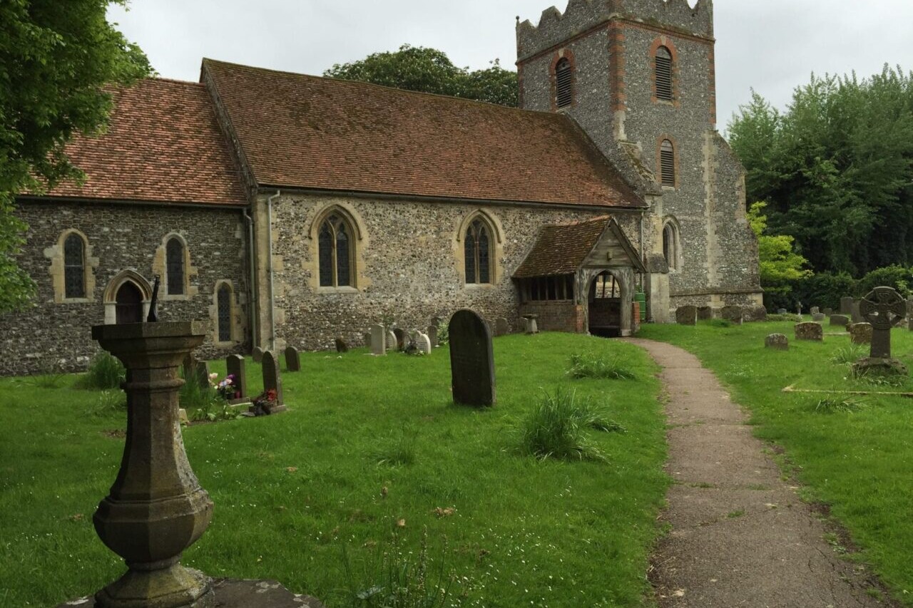
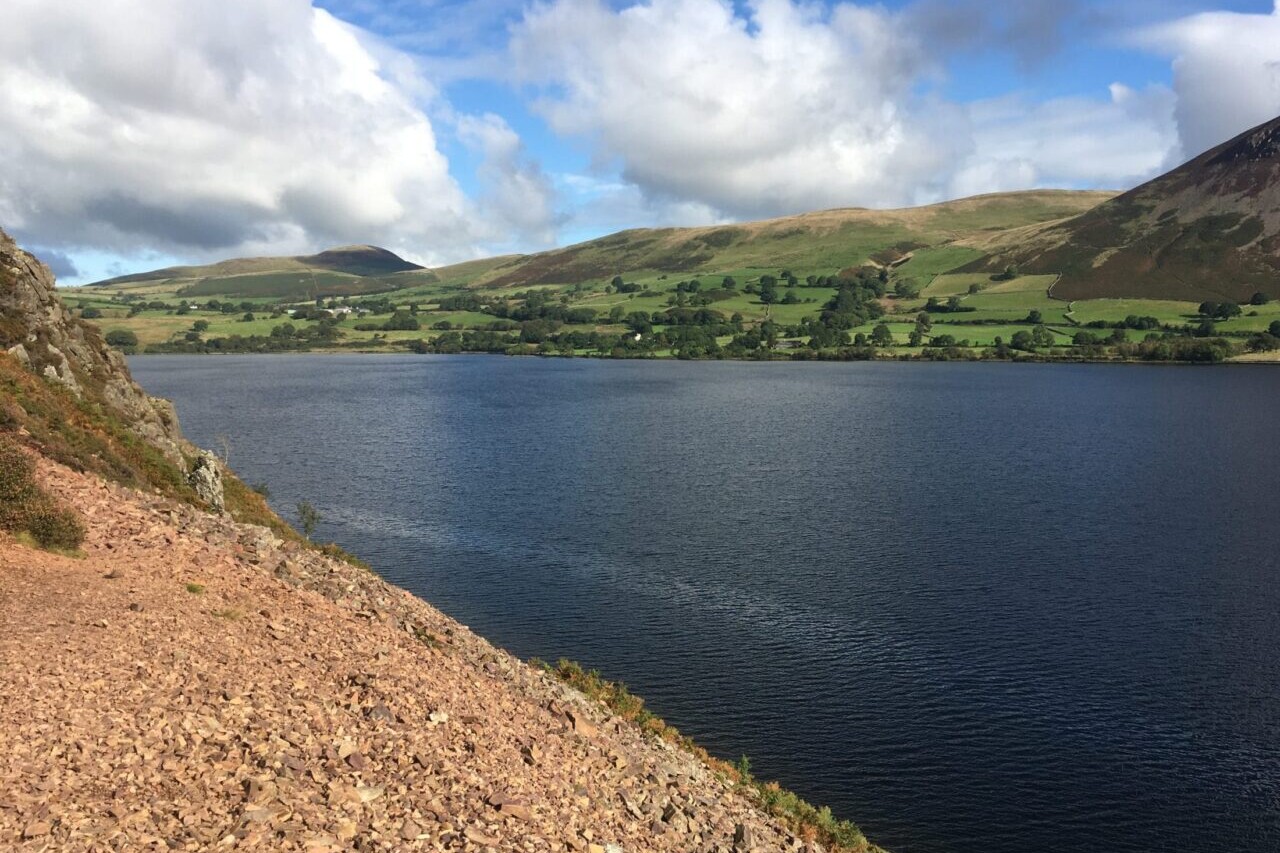
Iglesia de San Juan, Hospital de la Condesa, Camino Francés, Spain
Photo by Keith Foskett
4.8 ★★★★★ | 17K+ Reviews
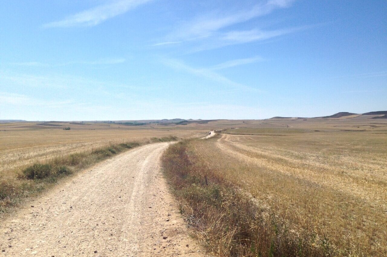
Camino Frances, France & Spain
The Camino de Santiago is a network of ancient and historic pilgrimage walking routes that lead to the cathedral of Santiago de Compostela in Spain. The Camino Francés is the most famous of the Camino routes, and has been walked by millions of pilgrims over 1200 years. At its longest, it stretches over 750 km (460 mi) from St. Jean Pied de Port, France, to Santiago de Compostela. It is a walk full of history, culture, and spectacular countrysides.
750 km (460 mi) $7.99 Camino Francés
750 km (460 mi)
$7.99 Camino Francés
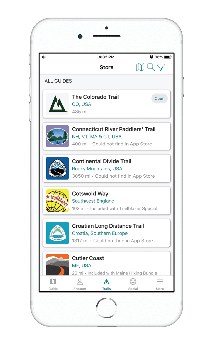


How can I get it?
Available as an in-app purchase in our Guthook Guides app, a free download from the Apple App Store or the Google Play Store.
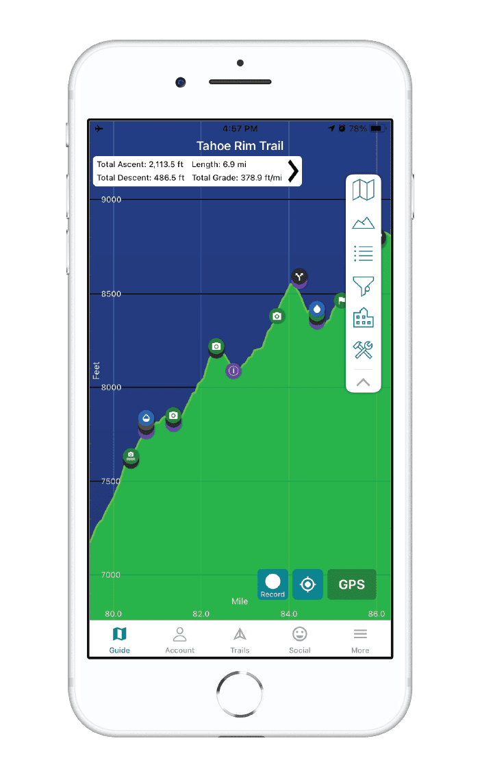
Our iOS and Android apps do differ slightly in their appearance. However, the majority of their features remain the same, and they access the same trail guide data.
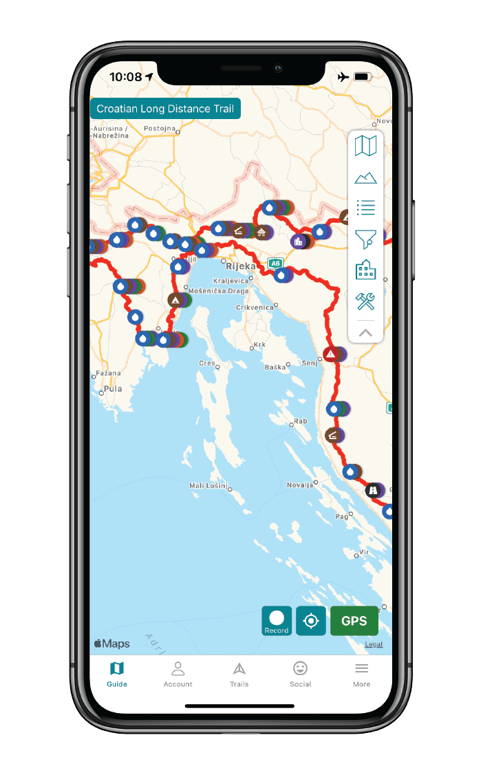
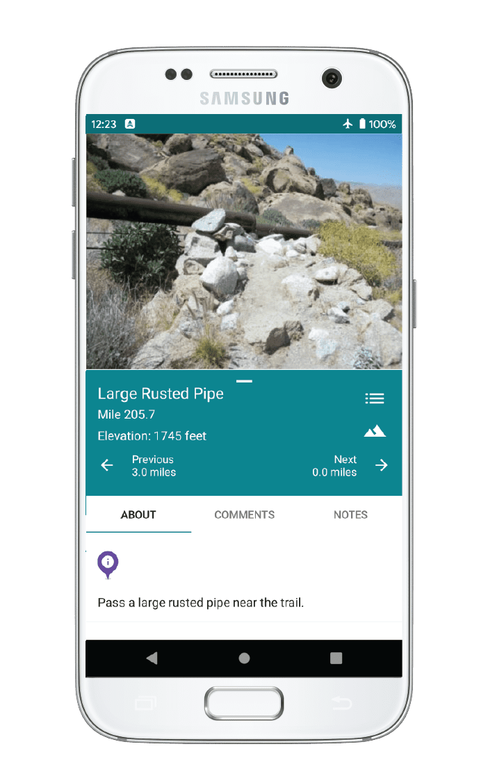
This selection is the entire Camino Frances: from Saint-Jean-Pied-de-Port, France to Santiago de Compostela. It also includes the Camino Finisterre from Santiago de Compostela to the Atlantic Ocean at Muxia. There are more than 1300 waypoints, including 500 albergues/pensions/hostels, and dozens of alternate routes. Take a look at the demo section from Saint-Jean-Pied-de-Port to Pamplona for a full-featured preview.
$7.99
This selection is the popular 100 km portion of the Camino Frances from Sarria to Santiago de Compostela.
$4.99
This free, full-featured demonstration includes the first 68 km/42 miles of the Camino Frances, from Saint-Jean-Pied-de-Port, France to Pamplona, Spain.
FREE DEMO
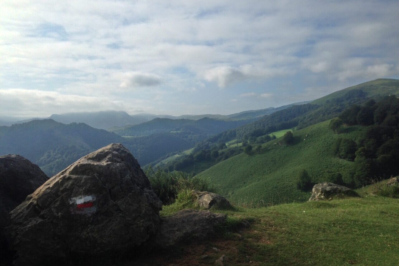
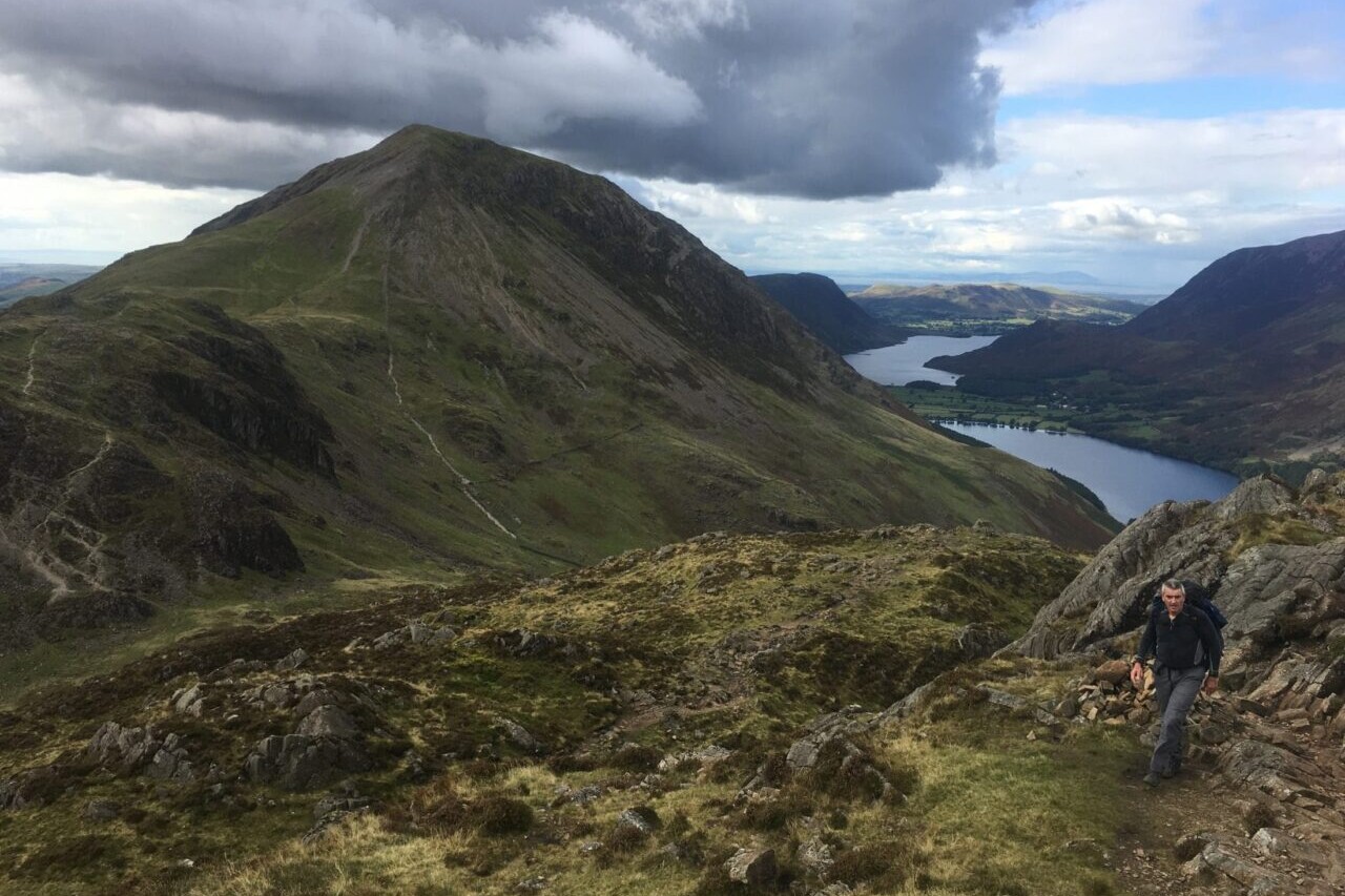
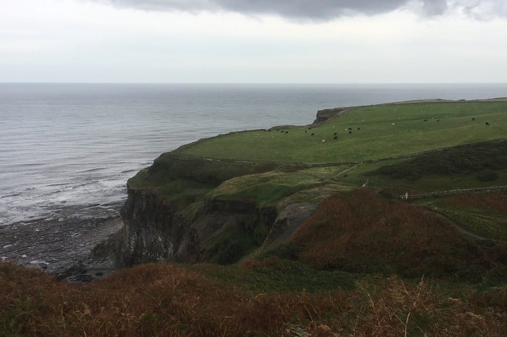
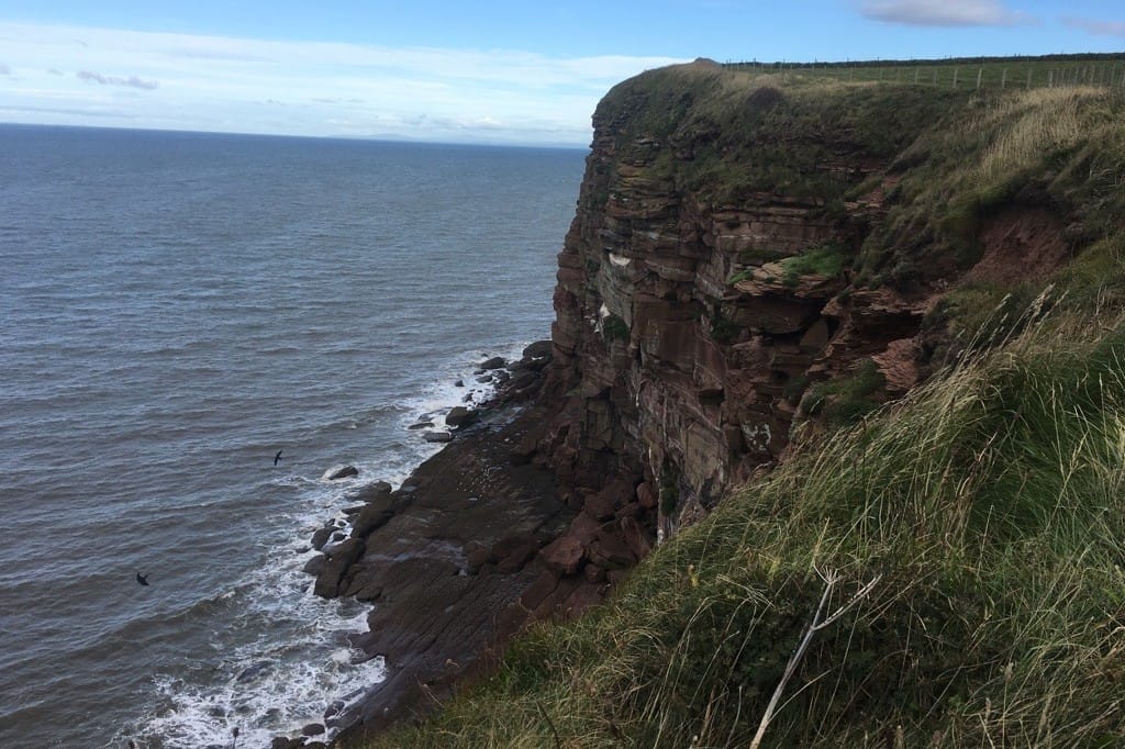
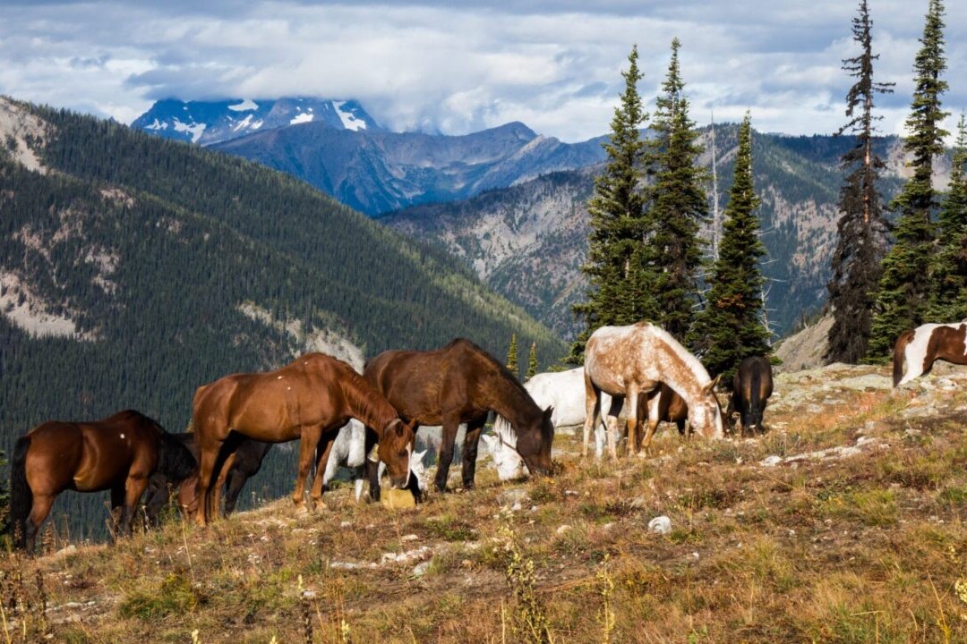
The Camino del Norte, or The Northern Way, is the northernmost of the Spanish Camino routes, taking pilgrims through the beautiful green countryside of Northern Spain. Though it is less well known, it is said to be one of the oldest Camino routes. The route travels through Basque country—Cantabria, Asturias, and Galicia—to eventually join with the Camino Frances in the city of Arzúa and continue the rest of the way to Santiago de Compostela. This Camino is a coastal route, offering breathtaking views of the Atlantic Ocean from rocky cliffs and sandy beaches. Lush green landscapes from coast to mountain await pilgrims on this route, and the delicious coastal cuisines of the region will have you stopping in to every rural restaurant to sample the local flavors.

Hike more.
Check out some of the other trail guides we offer!
Trailblazer Guides Demo
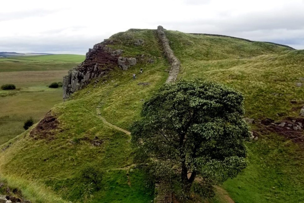
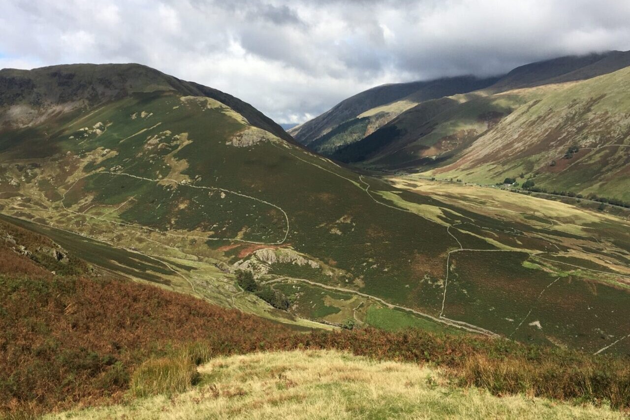
Official Companion Apps to Trailblazer Guidebooks. Our collaboration with Trailblazer guides includes hiking guides for the South Downs Way, Wainwright’s Coast to Coast, West Highland Way, Hadrian’s Wall Path, The Ridgeway, Costwold Way (all in the UK) and the Tour du Mont Blanc in the European Alps. All of the trails are full of history, stunning countryside, and charming towns and pubs. All of Trailblazer’s guides are perfect for thru-hikers, backpackers, section-hikers, and day-hikers.
20% off for our Hiking Season Kick-off SALE! The Trailblazer Special is now $19.99.
20% off for our Boxing Day SALE! The Trailblazer Special is now $18.99.
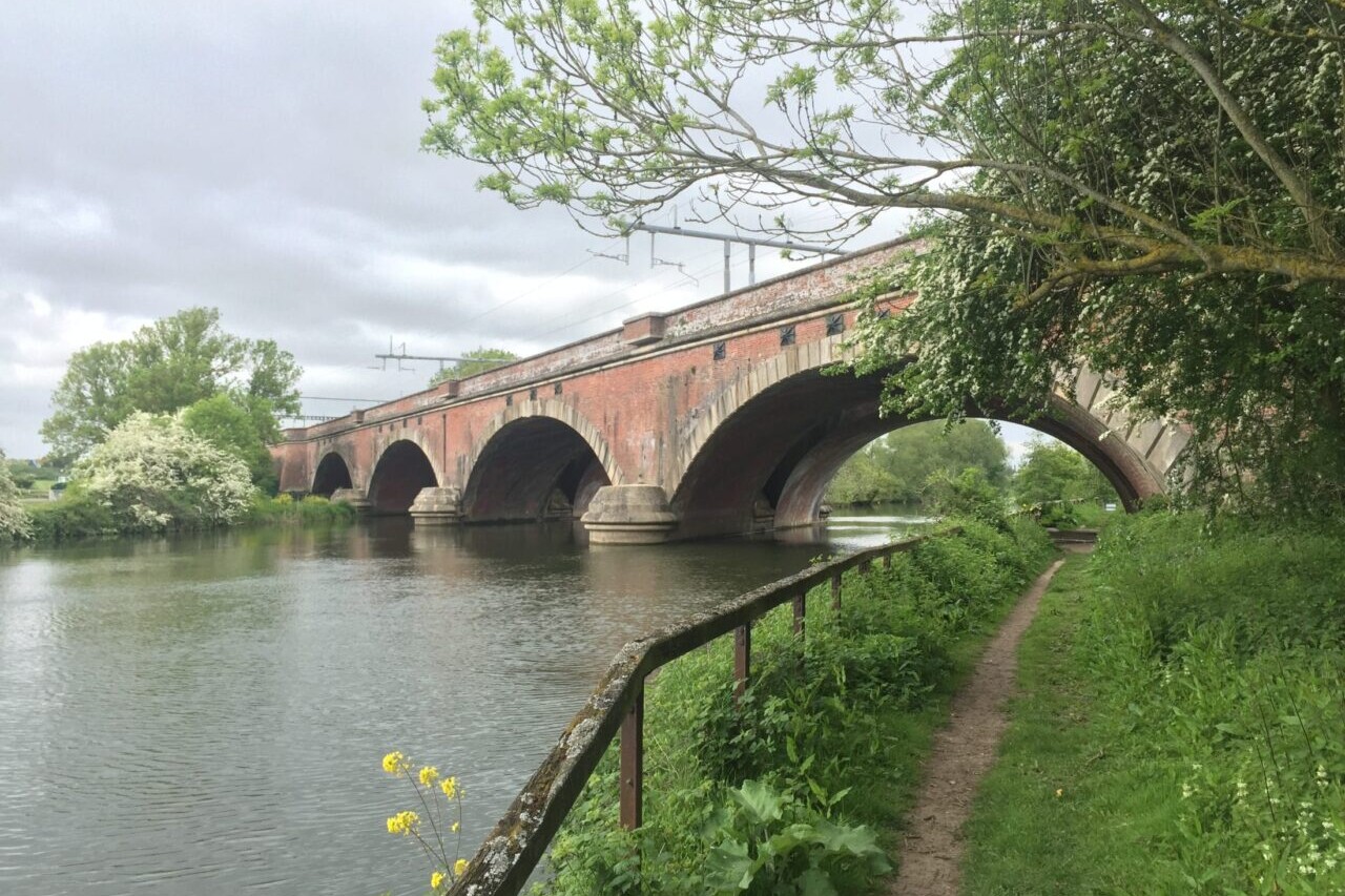
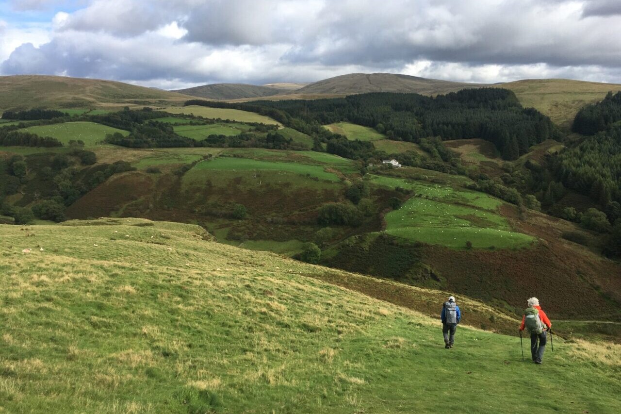
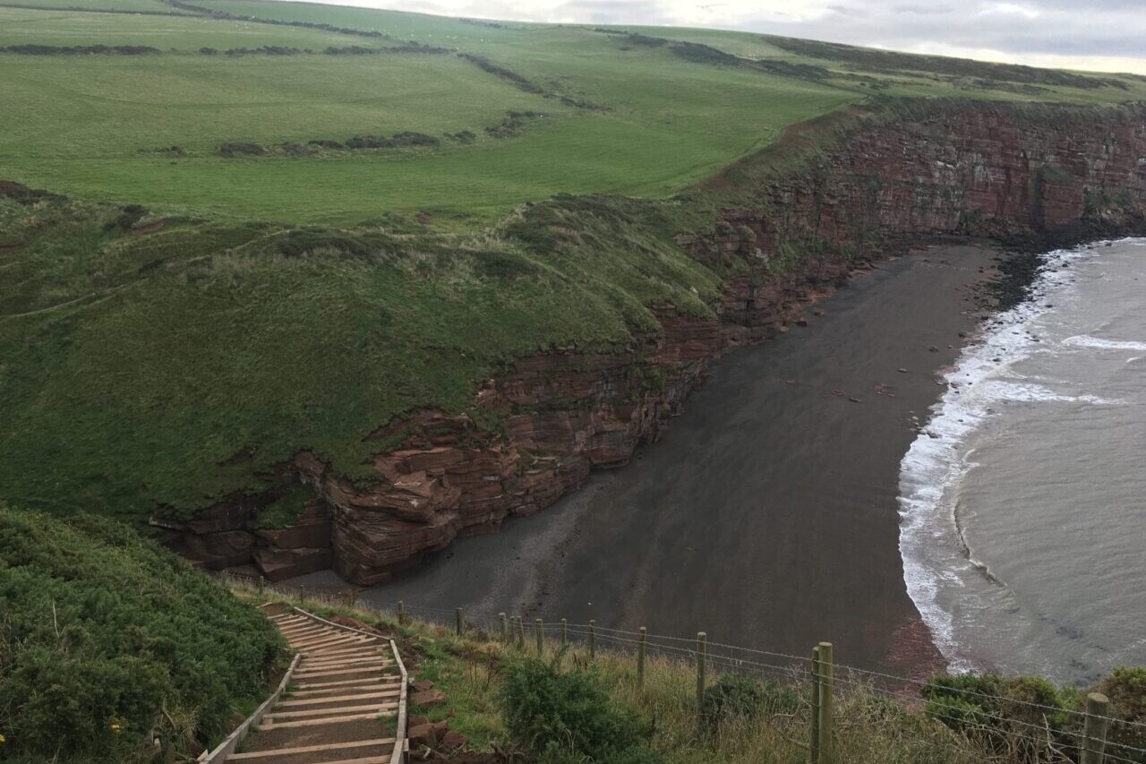
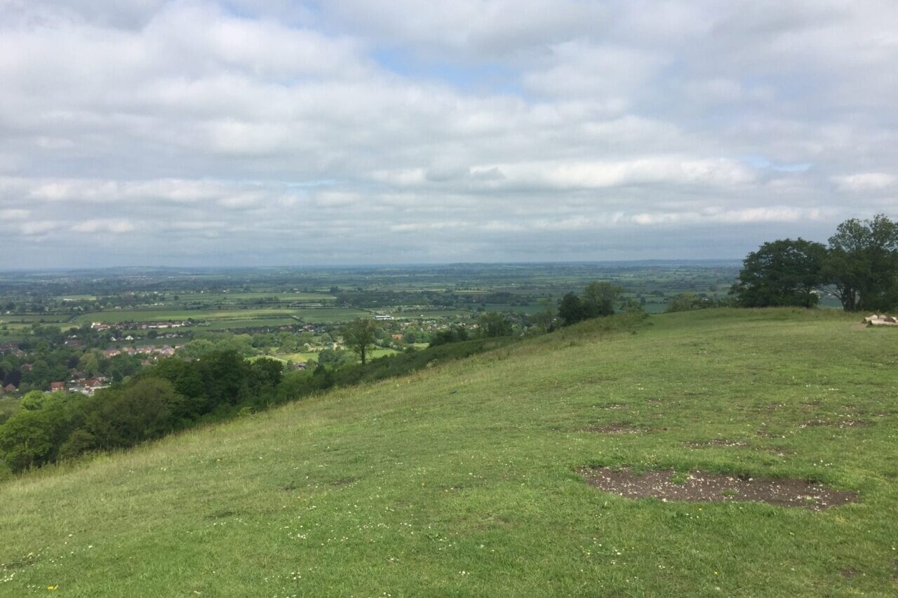
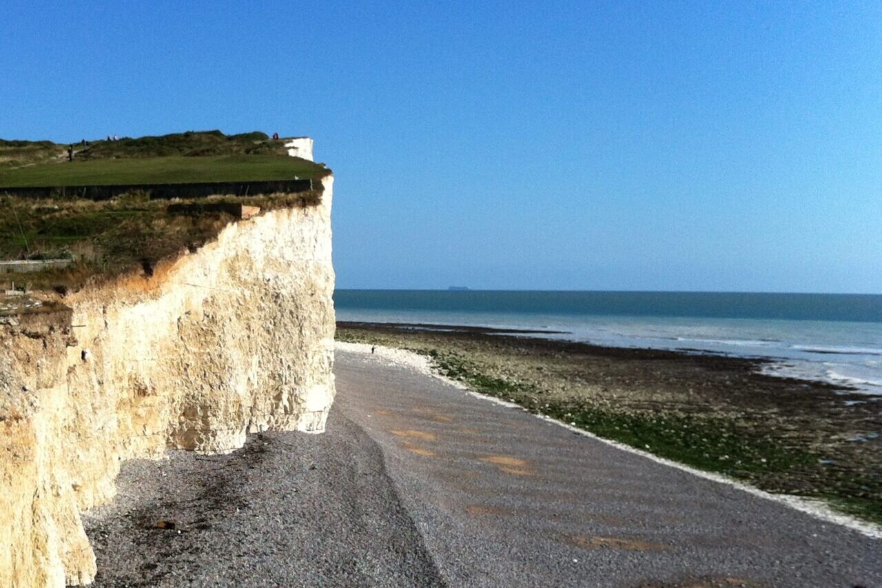
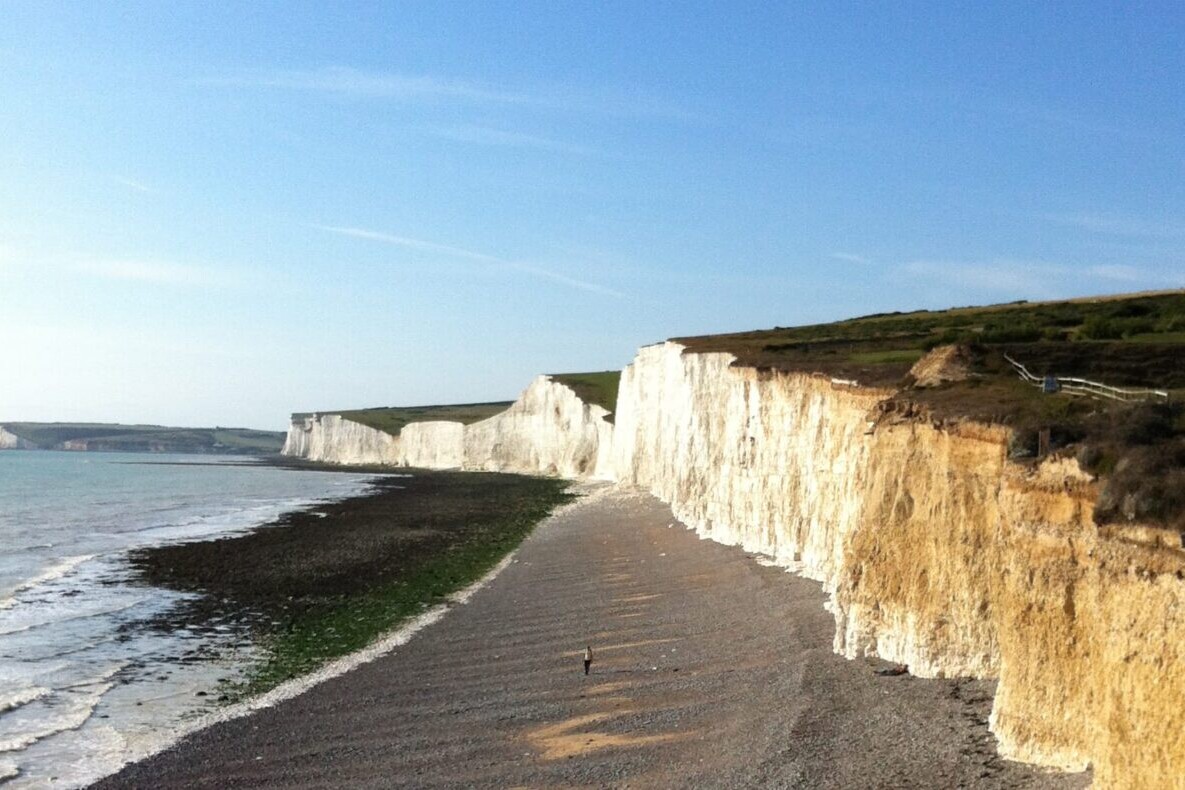
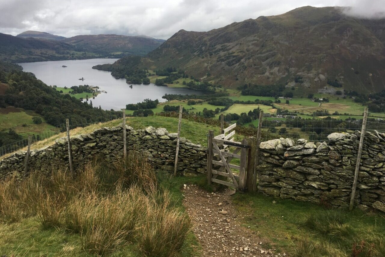
England, South Downs Way
Photo courtesy of Trailblazer Guides
4.8 ★★★★★ | 17K+ Reviews
Trailblazer Guides: The UK's Best Walking Guides
South Downs Way, The Ridgeway, Cotswold Way, Coast to Coast, Hadrian's Wall Path, West Highland Way, Tour du Mont Blanc
✓ Official Companion Apps to Trailblazer Guidebooks
Our collaboration with Trailblazer guides includes hiking guides for the South Downs Way, Wainwright’s Coast to Coast, West Highland Way, Hadrian’s Wall Path, The Ridgeway, Costwold Way (all in the UK) and the Tour du Mont Blanc in the European Alps. All of the trails are full of history, stunning countryside, and charming towns and pubs. All of Trailblazer's guides are perfect for thru-hikers, backpackers, section-hikers, and day-hikers.
$24.99 all guides 7 guides ($4.99 to $8.99 each)
$24.99 all guides
7 guides ($4.99 to $8.99 each)


How can I get it?
Available as an in-app purchase in our Guthook Guides app, a free download from the Apple App Store or the Google Play Store.
Our iOS and Android apps do differ slightly in their appearance. However, the majority of their features remain the same, and they access the same trail guide data.
Purchase all Trailblazer apps in one package. Includes South Downs Way, Coast to Coast, West Highland Way, Hadrian’s Wall Path, The Cotswold Way, The Ridgeway, and the Tour du Mont Blanc. Purchase now and you will receive any new apps we add in the future at no additional cost.
$24.99
This app is the companion to Trailblazer Walking Guides’ guide to Wainwright’s Coast to Coast.
The Coast to Coast Path is a nearly 200-mile (320km) route that runs from St Bees on the Irish Sea across the width of Northern England to the North Sea at Robin Hood’s Bay. This spectacular two-week walk crosses three National Parks: the Lake District, the Yorkshire Dales, and the North York Moors.
$8.99
This app is the companion to Trailblazer’s Ridgeway guide book.
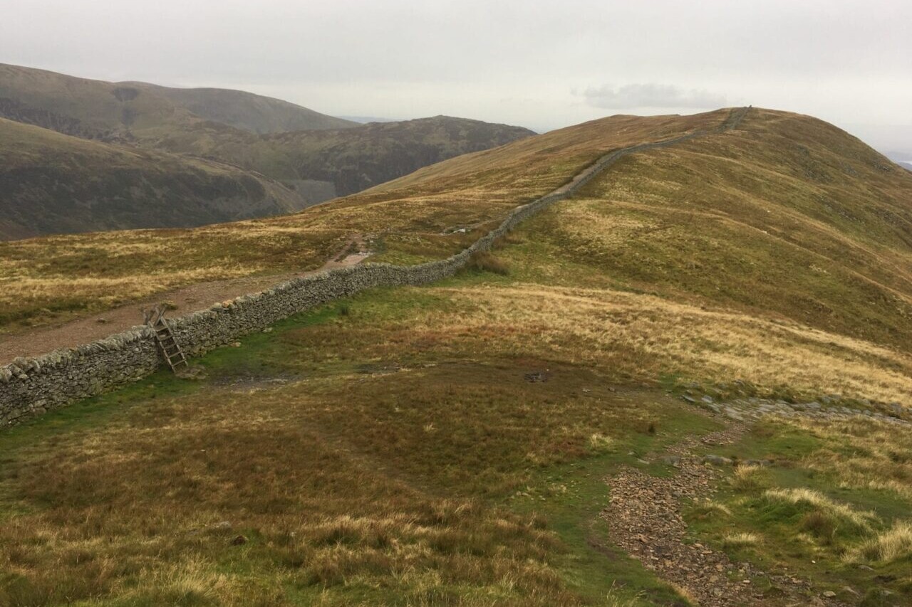
The Ridgeway is a 87-mile (139km) National Trail that runs from Overton Hill near Avebury in Wiltshire to Ivinghoe Beacon in Buckinghamshire. Part of this route follows Britain’s oldest road, dating back millennia. Taking 5-7 days, this is not a difficult walk and the rewards are many: rolling countryside, Iron Age forts, Neolithic burial mounds, white horses carved into the chalk downs and picturesque villages.
$4.99
This app is the companion to Trailblazer’s South Downs Way guide book.
The South Downs Way is a 100-mile (160km) National Trail that follows the line of chalk hills stretching from Winchester in Hampshire across Sussex to Eastbourne. Walking the length of the Downs is the best way to experience this beautiful landscape with its mixture of rolling hills, steep hanging woodland and windswept fields. You’ll also pass picture-postcard villages with welcoming pubs, thatched cottages and quintessentially English country gardens.
$4.99
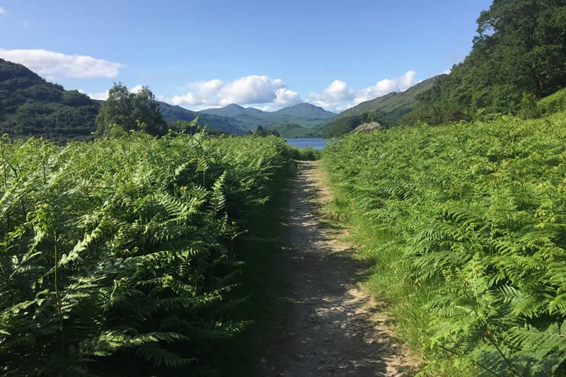
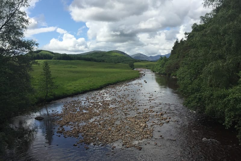
This app is the companion to Trailblazer’s West Highland Way guide book.
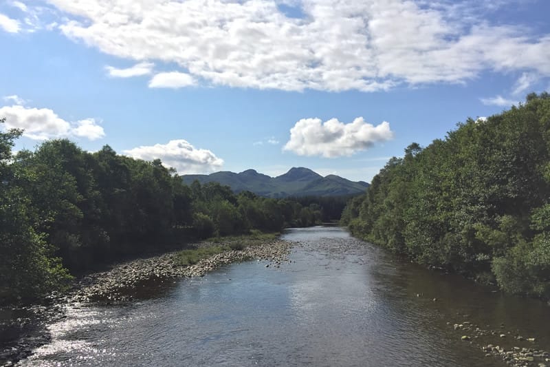
The West Highland Way is a 96-mile (154km) trail that passes through some of the most spectacular scenery in all of Britain. From the outskirts of Glasgow it winds along the wooded banks of Loch Lomond, across the wilderness of Rannoch Moor, over the mountains above Glencoe to a dramatic finish below Ben Nevis – Britain’s highest mountain.
$5.99
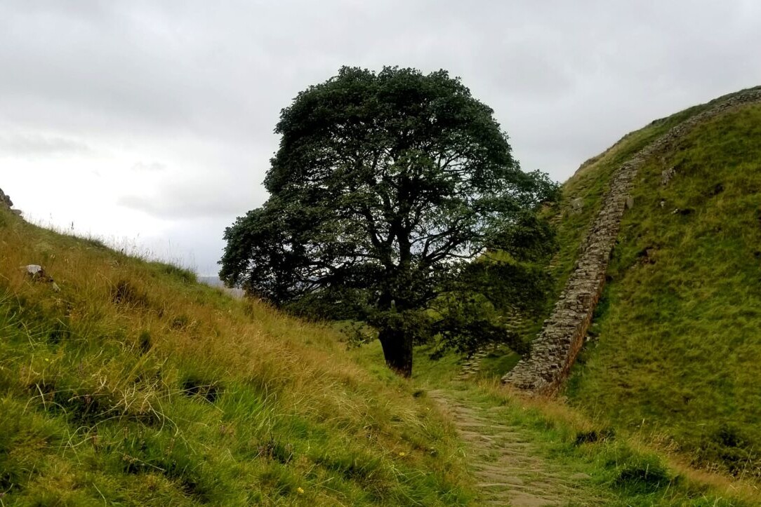
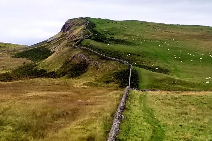
Hadrian’s Wall Path, 84 miles (135km) from end to end, follows the course of northern Europe’s largest surviving Roman monument, a 2nd-century fortification built in the border country between England and Scotland on the orders of the Emperor Hadrian in AD122.
Hadrian’s Wall Path is the first National Trail to follow the course of a UNESCO World Heritage Site. This week-long walk is regarded as one of the most pleasant of the National Trails.
$4.99
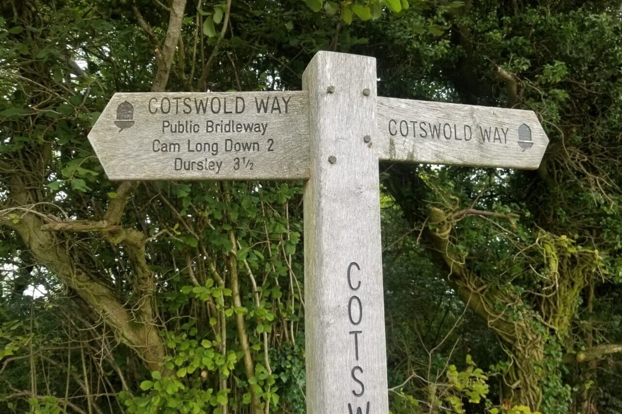
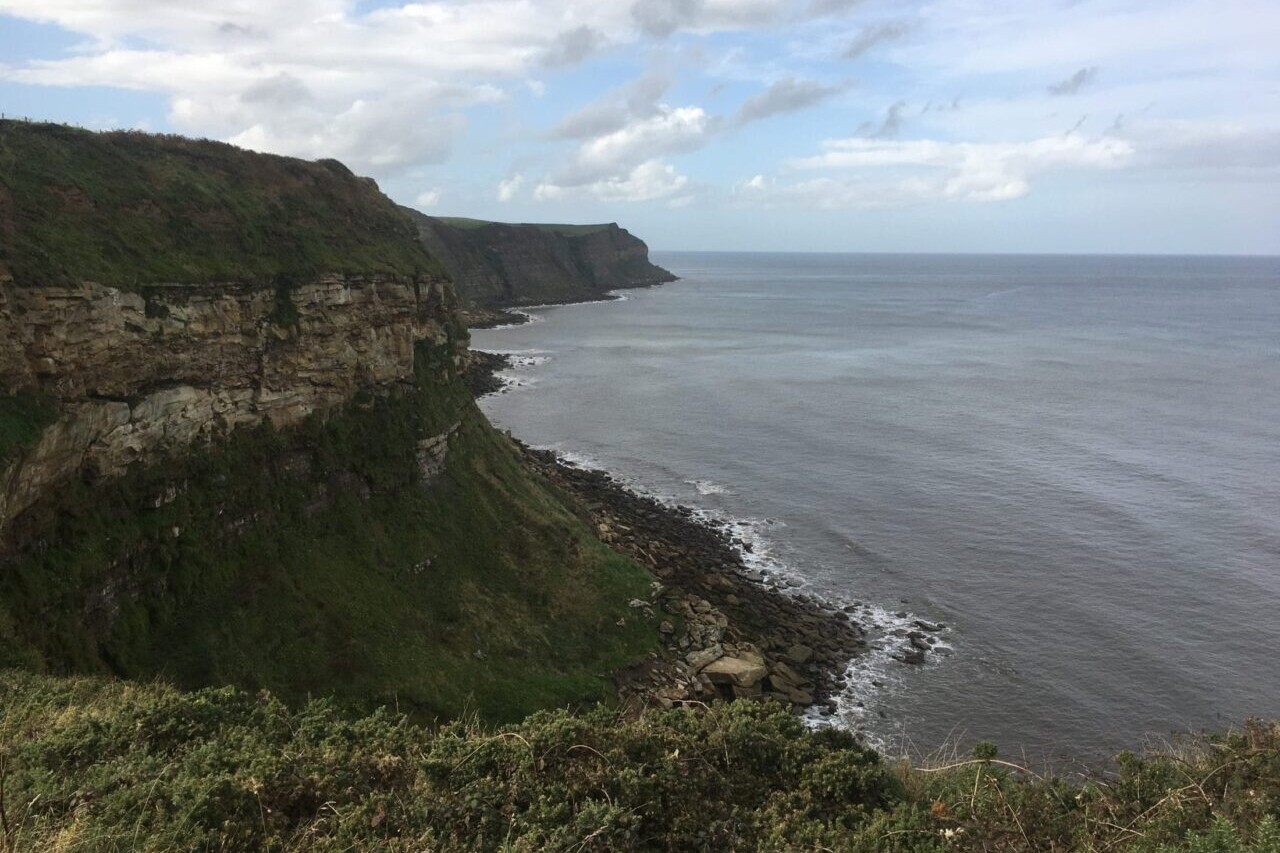
The Cotswold Way is a ~100-mile (161km) National Trail that runs from Chipping Campden to Bath, following the beautiful Cotswold escarpment for much of its course. The trail leads through quintessentially English countryside with little villages of honey-coloured stone, from open farmland to the historic city of Bath.
$5.99
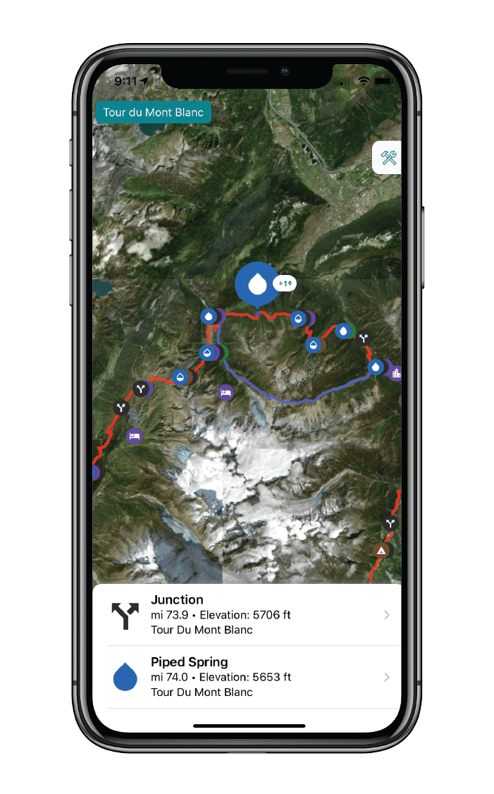
The Tour du Mont Blanc is one of the world’s most famous hiking trails. This loop route passes through seven stunning mountain valleys around the spectacular Mont Blanc. This amazing scenery is classic European Alps: rugged spiky mountains, lush green valleys, strenuous mountain passes, and photo-worthy vistas. Hikers can start the loop from a variety of points in France, Italy, and Switzerland, including in Les Houches in the Chamonix Valley, Les Contamines in the Montjoie Valley, Courmayeur, Champex, and Martigny. The route also passes Chamonix, the famous resort which hosted the first Winter Olympic Games in 1924.
$6.99


Hike more.
Check out some of the other trail guides we offer!
About our partner
Trailblazer Guides
Since 1991 Trailblazer has been publishing a select list of practical guidebooks written by travellers for travellers. Their guidebooks include everything from adventure travel guides, to rail guides, to worldwide trekking guides, including British walking guides. Trailblazer guides are entertaining as well as informative, and are strong on practical information without neglecting the cultural background.
Atlas Guides created and maintains the official app of Trailblazer’s British Walking Guides.
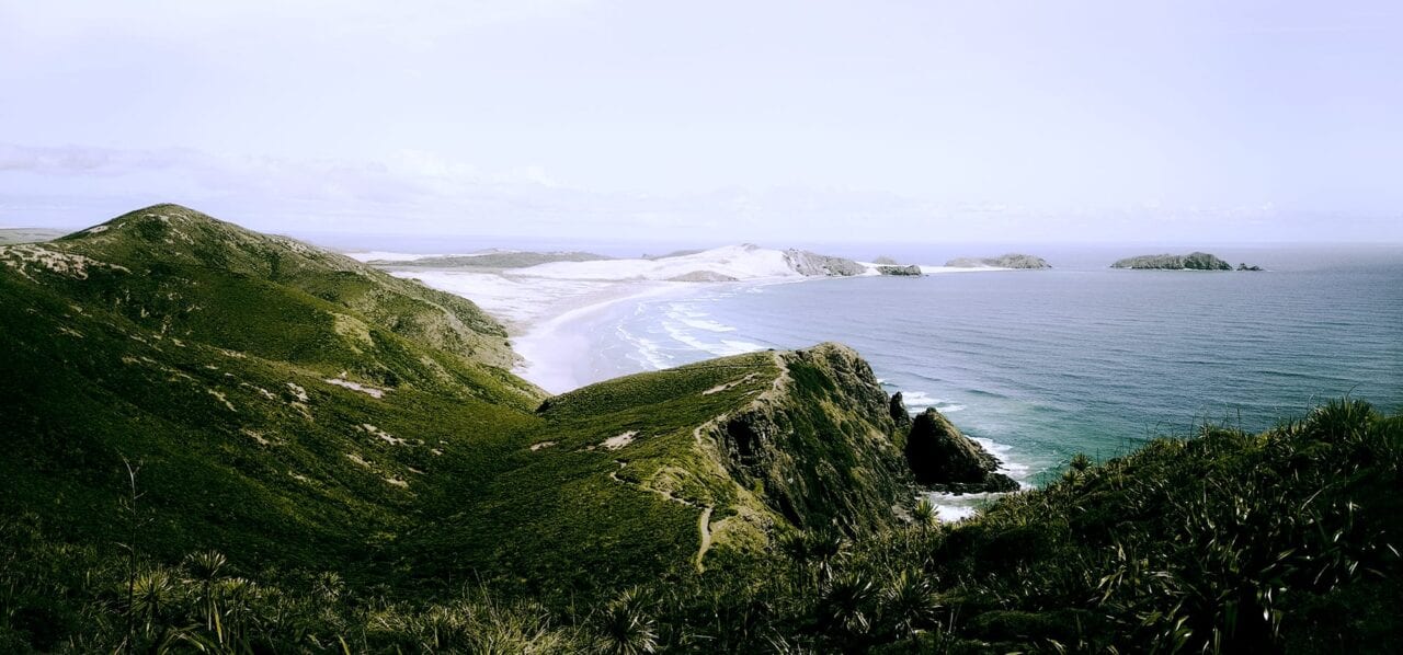
Te Araroa Demo
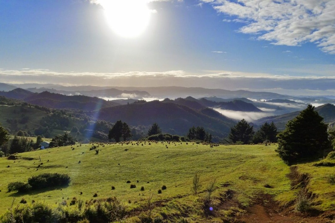
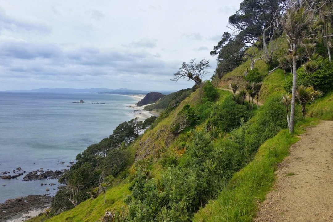
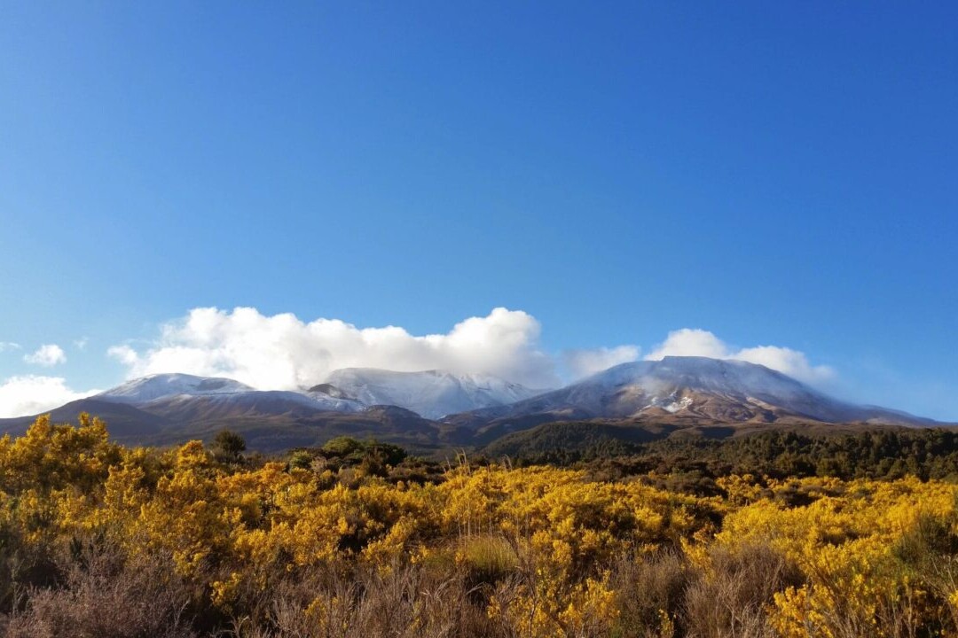
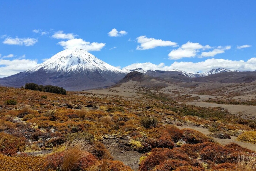
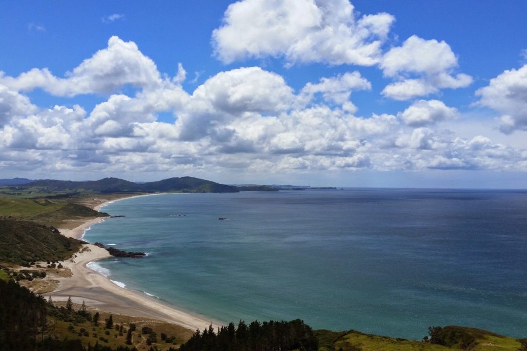
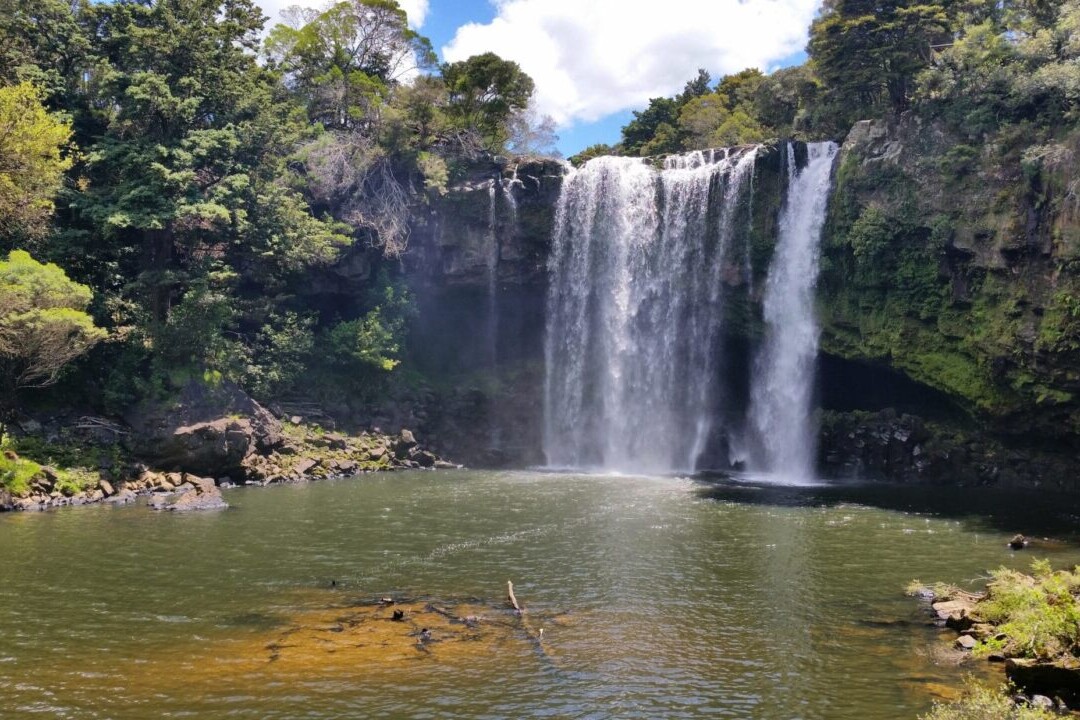
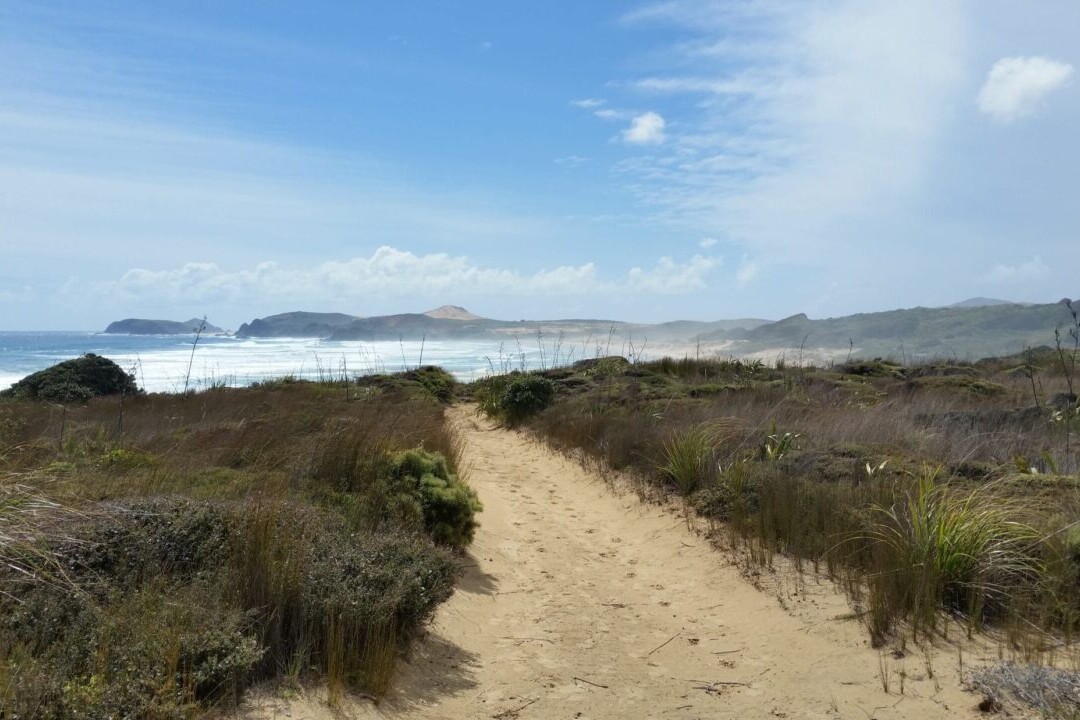
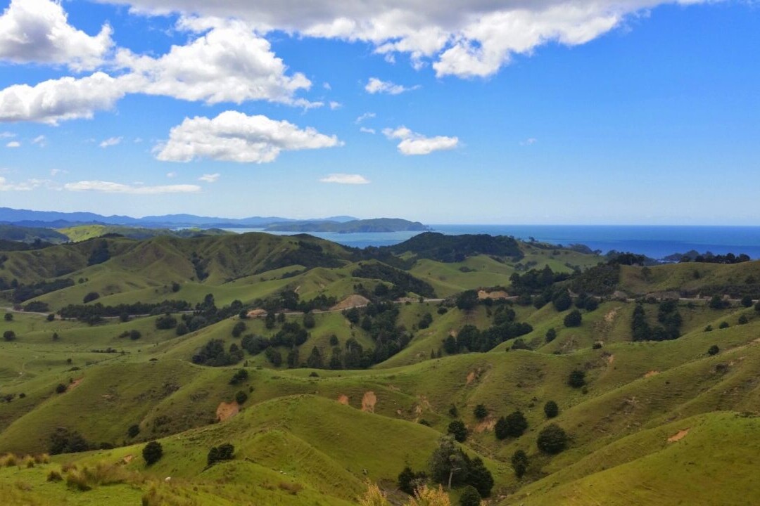
Te Araroa is New Zealand’s premier long-distance hiking trail, stretching 3000 km (1860 mi) across the country’s two main islands. The trail travels from Cape Reinga on the North Island to Bluff on the South Island, passing through 9 distinct regions on its way. The trail offers spectacular views of all the amazing landscapes that New Zealand has to offer, from bustling cities to towering volcanoes. Te Araroa is truly an experience of all aspects of New Zealand – historic, cultural, and natural. From ocean beaches to deep forests, the trail is perfect for thru-hiking, backpacking, section-hiking, and day-hiking.
20% off for our Hiking Season Kick-off SALE! Our Te Araroa trail guide is now $23.99.
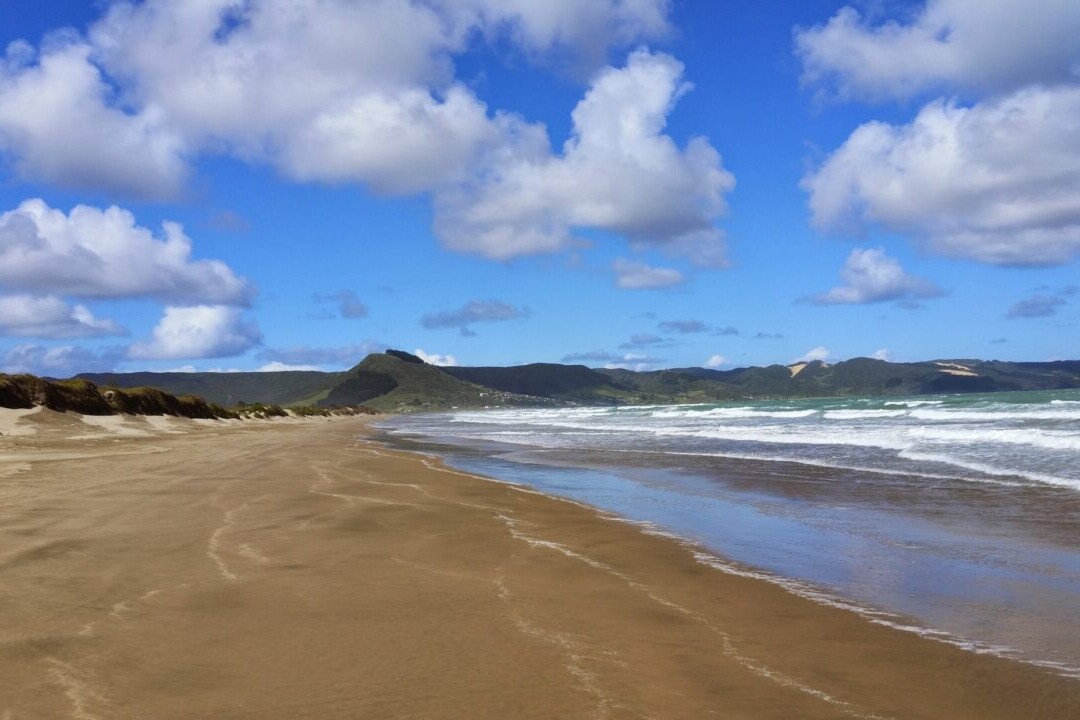
Cape Reinga, North Island, New Zealand, Te Araroa
Photo by T L
4.8 ★★★★★ | 17K+ Reviews
Te Araroa
3000 km • New Zealand
Te Araroa is New Zealand’s premier long-distance hiking trail, stretching 3000 km (1860 mi) across the country’s two main islands. The trail travels from Cape Reinga on the North Island to Bluff on the South Island, passing through 9 distinct regions on its way. The trail offers spectacular views of all the amazing landscapes that New Zealand has to offer, from bustling cities to towering volcanoes. Te Araroa is truly an experience of all aspects of New Zealand - historic, cultural, and natural. From ocean beaches to deep forests, the trail is perfect for thru-hiking, backpacking, section-hiking, and day-hiking.
US$29.99 / NZ$49.99 full guide 4 sections (US$9.99 / NZ$16.99 each)
US$29.99 / NZ$49.99 full guide
4 sections (US$9.99 / NZ$16.99 each)
Te Araroa Map


How can I get it?
Available as an in-app purchase in our Guthook Guides app, a free download from the Apple App Store or the Google Play Store.
Our iOS and Android apps do differ slightly in their appearance. However, the majority of their features remain the same, and they access the same trail guide data.
This full-featured demo of the app includes a 60 km segment of the Te Araroa on the North Island in the Auckland area.
Te Araroa Thru-Hiker Special includes purchase of the entire Te Araroa at a 42% savings over purchasing the sections separately.
US$29.99/NZ$49.99/AU$46.99
This full-featured demo of the app includes a 60 km segment of Te Araroa on the North Island in the Auckland area.
FREE DEMO
Te Araroa North Island part 1: northern 801 km portion of Te Araroa on the North Island from Cape Reinga to Hamilton.
US$12.99/NZ$22.99/AU$19.99
Te Araroa North Island part 2: southern 932 km portion of Te Araroa on the North Island from Hamilton to Wellington.
US$12.99/NZ$22.99/AU$19.99
Te Araroa South Island part 1: northern 690 km portion of Te Araroa on the South Island from Ship Cove to Tekapo Village/Lake Tekapo.
US$12.99/NZ$22.99/AU$19.99
Te Araroa South Island part 2: southern 618 km portion of Te Araroa on the South Island, from Tekapo Village/Lake Tekapo to Bluff.
US$12.99/NZ$22.99/AU$19.99
Stories from Te Araroa!
Check out our most recent blog posts about Te Araroa.
Nothing found.


Hike more.
Check out some of the other trail guides we offer!

Continental Divide Trail Demo
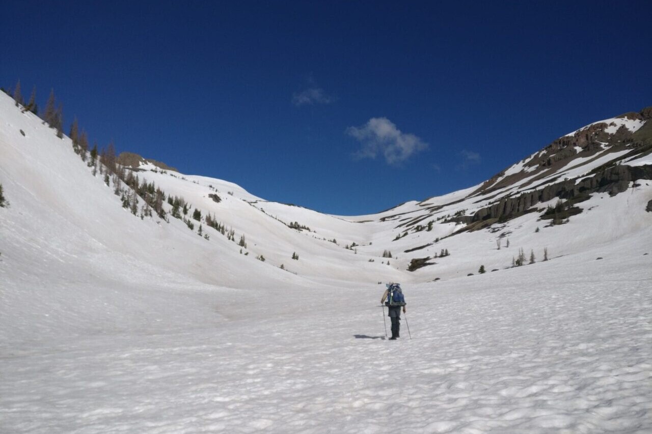
Official app of the Continental Divide Trail Coalition. Considered by many to be the most remote and challenging of the Triple Crown trails, the Continental Divide National Scenic Trail is a 3000+ mile adventure from Mexico to Canada, traveling through five western states. It passes through many ecosystems, 25 National Forests, 21 Wilderness Areas, 3 National Parks, and 1 National Monument. The CDT offers an incredible experience to all who visit, including thru-hikers, section-hikers, and day-hikers. Our data for the Continental Divide Trail guide was collected in partnership with Bear Creek Survey Service, LLC and is updated by the Continental Divide Trail Collation. For more information about Bear Creek’s work, visit their website at bearcreeksurvey.com!
20% off for our Hiking Season Kick-off SALE! The Continental Divide Trail is now $31.99.
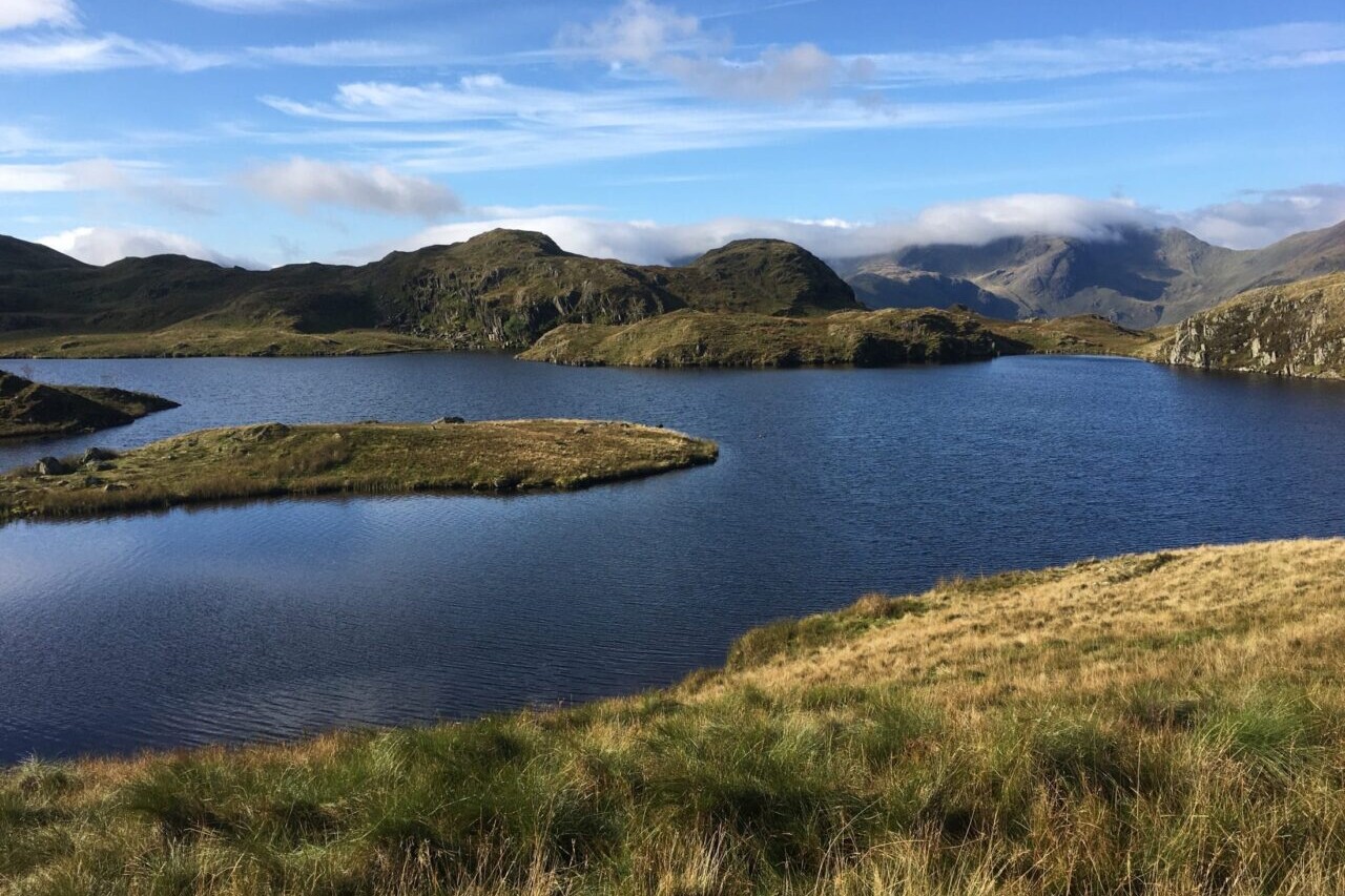
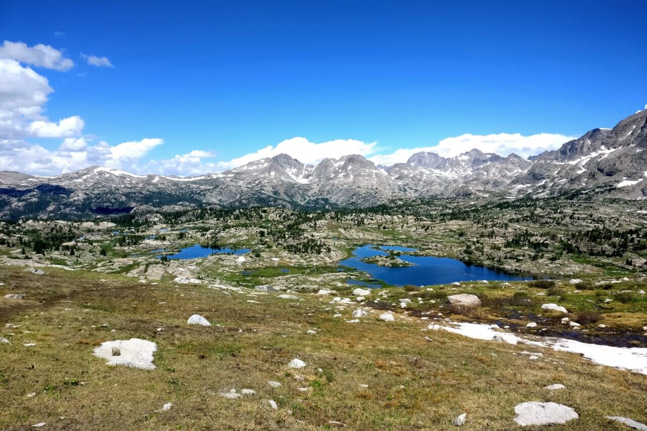
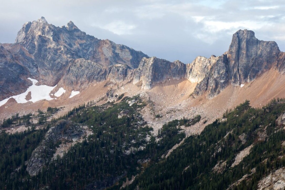
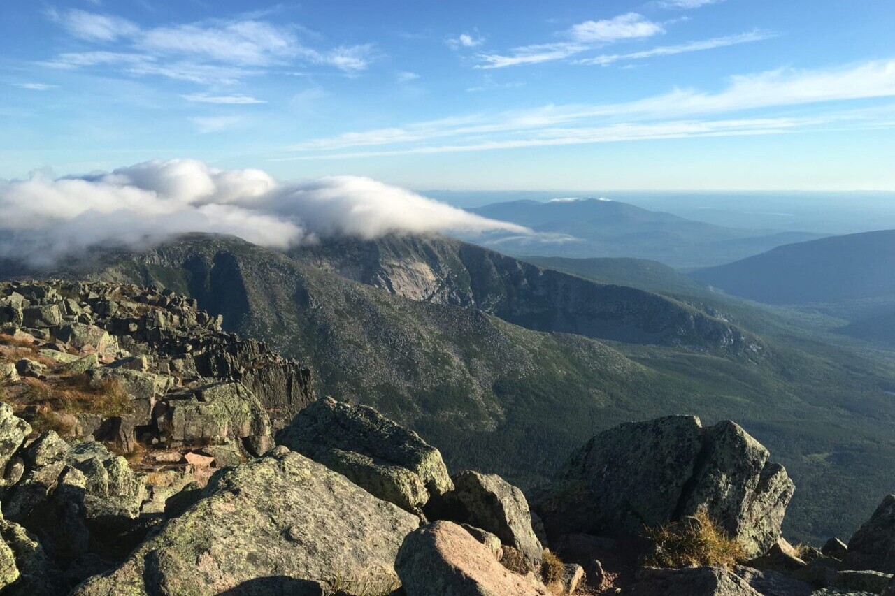
Colorado, Continental Divide Trail
Photo by David Getchel
4.8 ★★★★★ | 17K+ Reviews
Continental Divide Trail
3015 miles • New Mexico, Colorado, Wyoming, Idaho & Montana
Official App of the Continental Divide Trail Coalition
Considered by many to be the most remote and challenging of the Triple Crown trails, the Continental Divide National Scenic Trail is a 3000+ mile adventure from Mexico to Canada, traveling through five western states. It passes through many ecosystems, 25 National Forests, 21 Wilderness Areas, 3 National Parks, and 1 National Monument. The CDT offers an incredible experience to all who visit, including thru-hikers, section-hikers, and day-hikers. Our data for the Continental Divide Trail guide was collected in partnership with Bear Creek Survey Service, LLC and is updated by the Continental Divide Trail Collation. For more information about Bear Creek's work, visit their website at bearcreeksurvey.com!
$39.99 full guide 5 sections ($9.99 each)
3100 mi (4980 km)
$39.99 full guide
5 sections ($9.99 each)
Official App
Continental Divide Trail Map


CDT Water Report
Never hike thirsty again!
The CDT Water Report is a data set that is kept up-to-date by hikers and for hikers to help all hikers find reliable and trustworthy water sources. It is brought to you by The Continental Divide Trail Coalition, Atlas Guides, and Sawyer.
Want to contribute to the water report? Email reports to cdtwater@gmail.com
How can I get it?
Available as an in-app purchase in our Guthook Guides app, a free download from the Apple App Store or the Google Play Store.
Our iOS and Android apps do differ slightly in their appearance. However, the majority of their features remain the same, and they access the same trail guide data.
The Continental Divide Trail Thru-Hiker Special includes all 5 sections of the 3,050-mile/4,900-km CDT and 21 alternate routes through New Mexico, Colorado, Wyoming, Idaho and Montana. The Thru-Hiker Special provides a 20% savings over purchasing the 5 sections separately.
$39.99
789.5 miles from the Mexico Border to Colorado. Includes 1,200+ waypoints (including water sources) and these 9 alternate routes: Columbus Gila (alternate from the Mexico border), Walnut Creek, Gila River, Gila River High Route, Pietown Road Walk, Cebolla, Bonita-Zuni, Mount Taylor, and Ghost Ranch.
$9.99
CDT mile 789.5 to mile 1529.5 (736 miles through Colorado + 4 miles into Wyoming), from the New Mexico/Colorado border to the Colorado/Wyoming border. Includes 1,100+ waypoints and these 7 alternate routes: Great Divide Alternate, Elwood Pass, Creede Cutoff, Mirror Lake Alternate, Silverthorne, Argentine Spine, and Rocky Mountain National Park Alternate.
$9.99
CDT mile 1525.5 to mile 2035.5 (507 miles through Wyoming + 3 miles into Idaho), from the Colorado/Wyoming border to the Wyoming/Idaho border. Includes 670+ waypoints and these 3 alternate routes: Cirque of the Towers, Knapsack Col, and Leeds Creek.
$9.99
CDT mile 2032.5 to mile 2439.1 (406.6 miles) from the Idaho/Wyoming border, along the Idaho/Montana border, then to Johnson Lake, Montana. Includes 360+ waypoints and the Macks Inn alternate route.
$9.99
CDT mile 2439.1 to mile 3014.6 (575.5 miles) from Johnson Lake, Montana to the USA/Canada border in northern Montana. Includes 590+ waypoints and these alternate routes and side trails: Anaconda Route, Spotted Bear Pass, Chief Mountain (alternate to international border), and 4-mile track to the town of Waterton, Alberta.
$9.99

Cheers to giving back! Part of your purchase of the Continental Divide Trail goes to support the Continental Divide Trail Coalition’s work to preserve and maintain the trail. Learn about the Continental Divide Trail Coalition.
Stories from the Continental Divide Trail!
Check out our most recent blog posts about the Continental Divide Trail.
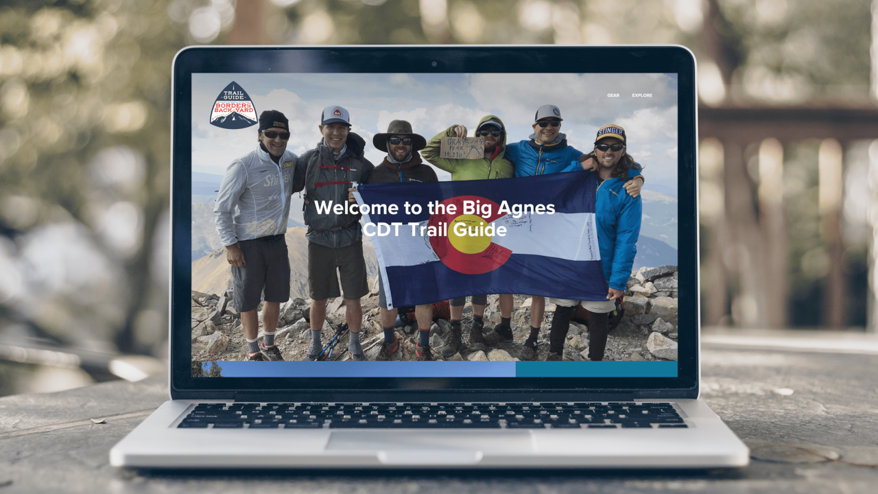
Big Agnes CDT Trail Guide
Want to learn more about hiking the CDT in Colorado?
In 2018, Big Agnes adopted 75 miles of the Continental Divide Trail near Steamboat Springs as part of their support of the Continental Divide Trail Coalition. They maintain the designated portion of trail, mark the trail as needed, keep it free of trash, and recreate on the trail. This trail guide is the story of 70 employees hiking the entire Colorado section of the trail over the course of the summer.
While on trail, they gathered up stories, photos, and a few tips that they’re excited to share!
Hike more.
Check out some of the other trail guides we offer!
About our partner
Continental Divide Trail Coalition
The mission of the Continental Divide Trail Coalition is to complete, promote, and protect the Continental Divide National Scenic Trail. The CDTC accomplishes this by building a strong and diverse trail community, providing up-to-date information to the public, and encouraging conservation and stewardship of the trail and its surrounding landscapes. The CDTC works to make sure that the Continental Divide Trail is a renowned and revered natural resource for people to connect with friends and family, draw inspiration, and create outstanding personal experiences.
Atlas Guides works with the CDTC to create and maintain the Continental Divide Trail Coalition’s smartphone navigation app.

Pacific Crest Trail Demo
The Pacific Crest National Scenic Trail is an epic journey of over 2650 miles (4260 km) and is one of the most popular thru-hiking trails in the United States. Its path travels from the US-Mexico border to the northern US-Canada border, passing through California, Oregon, and Washington. The trail offers desert sun and heat, challenging and snowy high-elevation passes, and all of the amazing views and experiences in between. As one of the Triple Crown trails, the Pacific Crest Trail is an amazing hiking adventure for long-distance hikers and thru-hikers, yet it is also perfect for day-hikers and section-hikers looking to enjoy the beautiful views.
20% off for our Hiking Season Kick-off SALE! The Pacific Crest Trail Thru-hiker Special is now $23.99 and the Western Hiker Special is now $39.99.
30% off for our Small Business Saturday SALE! The Pacific Crest Trail Thru-hiker Special is now $20.99 and the Western Hiker Special is now $34.99.
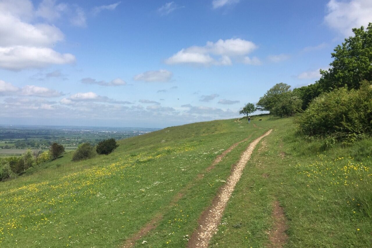
Washington, Pacific Crest Trail
Photo by Justin Helmkamp
4.8 ★★★★★ | 17K+ Reviews
Pacific Crest Trail
2650 miles • California, Oregon & Washington
The Pacific Crest National Scenic Trail is an epic journey of over 2650 miles (4260 km) and is one of the most popular thru-hiking trails in the United States. Its path travels from the US-Mexico border to the northern US-Canada border, passing through California, Oregon, and Washington. The trail offers desert sun and heat, challenging and snowy high-elevation passes, and all of the amazing views and experiences in between. As one of the Triple Crown trails, the Pacific Crest Trail is an amazing hiking adventure for long-distance hikers and thru-hikers, yet it is also perfect for day-hikers and section-hikers looking to enjoy the beautiful views.
2650 mi (4260 km) $29.99 full guide 5 sections ($7.99 each)
2650 mi (4260 km)
$29.99 full guide
5 sections ($7.99 each)
Pacific Crest Trail Map


Pocket PCT Guide Book
Your paper guidebook companion on the PCT.
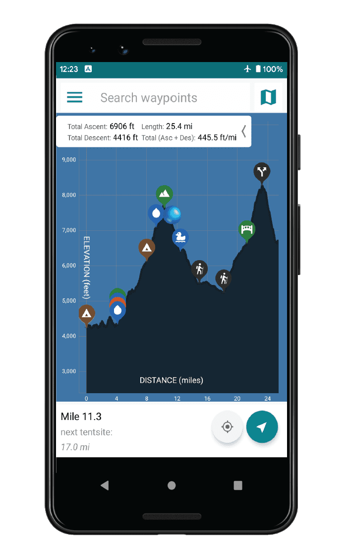
The Pocket PCT is a paper guidebook that offers a complete guide to hiking the Pacific Crest Trail. It contains an elevation profile for the entire trail that is broken into ten-mile segments, showing the trail’s elevation in feet. It also lists important landmarks along the PCT with each chapter beginning and ending at a common resupply location. Additional important town information is also provided. Mileage is compatible with the Guthook Guides Pacific Crest Trail Guide (found on the iPhone & Android apps). For those hikers concerned about weight and space in their packs, the book is lightweight (4.9 ounces) and compact (5 by 8 inches and a quarter inch thick).

Pocket PCT Guide Book
Your paper guidebook companion on the PCT.
The Pocket PCT is a paper guidebook that offers a complete guide to hiking the Pacific Crest Trail. It contains an elevation profile for the entire trail that is broken into ten-mile segments, showing the trail’s elevation in feet. It also lists important landmarks along the PCT with each chapter beginning and ending at a common resupply location. Additional important town information is also provided. Mileage is compatible with the Guthook Guides Pacific Crest Trail Guide (found on the iPhone & Android apps). For those hikers concerned about weight and space in their packs, the book is lightweight (4.9 ounces) and compact (5 by 8 inches and a quarter inch thick).
How can I get it?
Available as an in-app purchase in our Guthook Guides app, a free download from the Apple App Store or the Google Play Store.
Our iOS and Android apps do differ slightly in their appearance. However, the majority of their features remain the same, and they access the same trail guide data.
The PCT Thru-Hiker Special includes the entire PCT from Mexico to Canada: a 25% savings over buying the 5 sections separately.
$29.99
The Western Hiker Special (also known as the Super Hiker Special) includes the entire Pacific Crest Trail + John Muir Trail + Tahoe Rim Trail + Wonderland Trail + Lost Coast Trail + Whitney Trail: a 33% savings over buying the sections separately.
$49.99
Mile 0 to 566: Mexico Border to Highway 58 between Tehachapi and Mojave.
$7.99
Mile 566 to 1092: Tehachapi to Echo Lake (outside South Lake Tahoe)
$7.99
Mile 1092 to 1692: Echo Lake (outside South Lake Tahoe) to the California-Oregon border.
$7.99
Mile 1692 to 2147: State of Oregon.
$7.99
Mile 2147 to 2652: State of Washington and 8 miles to Manning Park, British Columbia.
$7.99
Stories from the Pacific Crest Trail!
Check out our most recent blog posts about the Pacific Crest Trail.
Hike more.
Check out some of the other trail guides we offer!

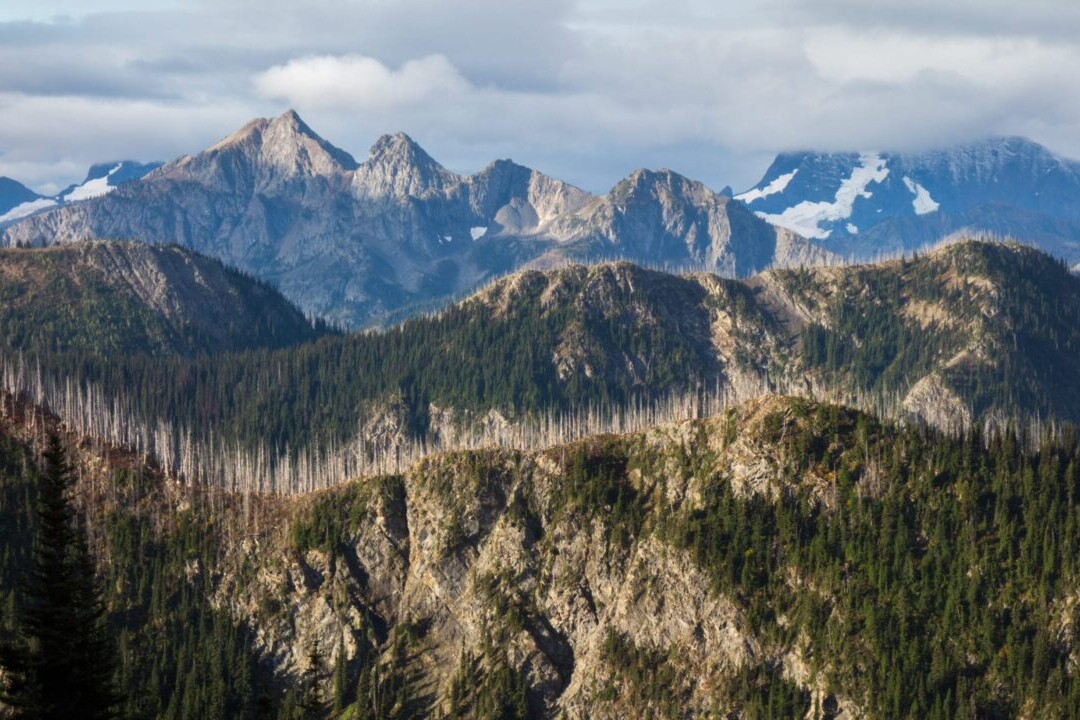
Appalachian Trail Demo
The Appalachian National Scenic Trail is one of the oldest National Scenic Trails in the United States and attracts thousands of thru-hikers every year. Its narrow corridor stretches from Springer Mountain in Georgia to Mt. Katahdin in Maine, traversing 14 states and nearly 2200 miles (3540 km) on its way. As one of the most popular thru-hikes in the US, the Appalachian Trail is the longest hiking-only footpath in the world and is one of the Triple Crown trails. The AT is an amazing hiking adventure for long-distance hikers and thru-hikers, yet it is also perfect for day-hikers and section-hikers looking to enjoy the beautiful views.
20% off for our Hiking Season Kick-off SALE! The Appalachian Trail is now $47.99.
30% off for our Small Business Saturday SALE! The Appalachian Trail is now $39.99.
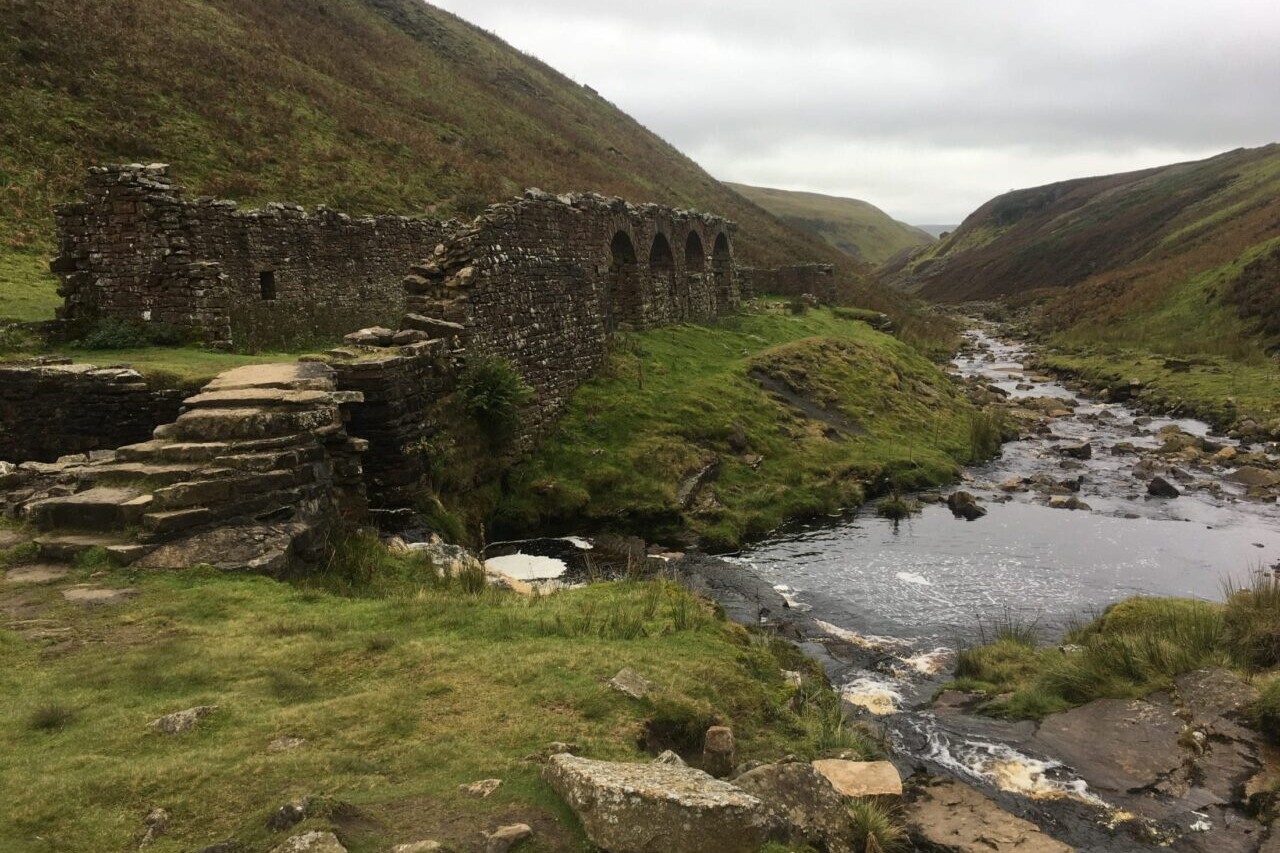
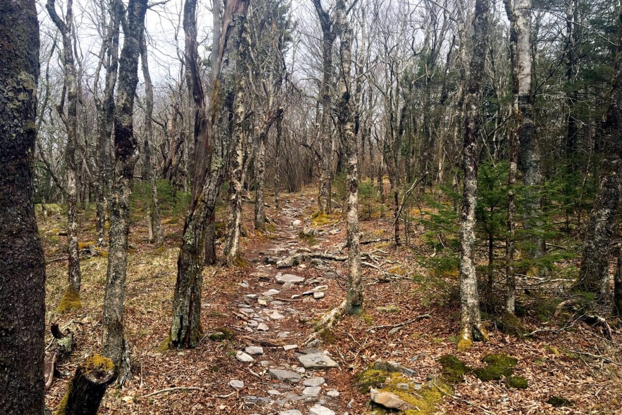
Pennsylvania, Appalachian Trail
Photo by Zoë Symon
4.8 ★★★★★ | 17K+ Reviews
Appalachian Trail
2180 miles • Georgia to Maine via 14 states
The Appalachian National Scenic Trail is one of the oldest National Scenic Trails in the United States and attracts thousands of thru-hikers every year. Its narrow corridor stretches from Springer Mountain in Georgia to Mt. Katahdin in Maine, traversing 14 states and nearly 2200 miles (3540 km) on its way. As one of the most popular thru-hikes in the US, the Appalachian Trail is the longest hiking-only footpath in the world and is one of the Triple Crown trails. The AT is an amazing hiking adventure for long-distance hikers and thru-hikers, yet it is also perfect for day-hikers and section-hikers looking to enjoy the beautiful views.
$59.99 full guide 9 sections ($8.99 each)
$59.99 full guide
9 sections ($8.99 each)


How can I buy it?
Available as an in-app purchase in our Guthook Guides app, a free download from the Apple App Store or the Google Play Store.
Our iOS and Android apps do differ slightly in their appearance. However, the majority of their features remain the same, and they access the same trail guide data.
One-time purchase of the entire Appalachian Trail from Georgia to Maine: a 26% savings over buying the 9 sections separately.
$59.99
The Approach Trail to Springer Mountain, about 8.8 miles from Amicalola Falls State Park. This section is included for free so you can get a feel for the app before purchasing other sections.
FREE DEMO
The southernmost section of the Appalachian Trail, about 240 miles from Springer Mountain to the northern end of the Great Smoky Mountains National Park. This includes all of the Georgia section, and the southern section of North Carolina. The highest point on the AT, Clingman’s Dome, is located in the Smoky Mountains in this section.
$8.99
The North Carolina & Tennessee section of the Appalachian Trail, including Roan Highlands. This section is about 225 miles long, and ends just into the state of Virginia at the town of Damascus.
$8.99
The southern half of the Virginia section of the Appalachian Trail, from the town of Damascus to the town of Daleville, just outside of Roanoke. This section includes McAfee Knob, Tinker Cliffs, the Dragon’s Tooth, and Peter’s Mountain. About 250 miles.
$8.99
The northern half of the Virginia section of the Appalachian Trail from the town of Daleville to the town of Harper’s Ferry, WV. Includes Shenandoah National Park and the area near the Blue Ridge Parkway. Approximately 300 miles.
$8.99
This section includes a small piece of West Virginia, plus all of the Appalachian Trail in Maryland and Pennsylvania, going from the town of Harper’s Ferry, WV, to the town of Delaware Water Gap, PA. The section is about 270 miles long.
$8.99
This section of the Appalachian Trail starts at the border of Pennsylvania and New Jersey at Delaware Water Gap, and covers the entire AT through New Jersey, New York, and Connecticut, ending outside of the town of Great Barrington, MA, about 15 miles into Massachusetts. The section is about 240 miles long, and includes highlights like the Berkshires, Delaware Water Gap National Recreation Area, and Harriman State Park.
$8.99
This section covers the Appalachian Trail through most of Massachusetts (starting about 15 miles north of the Connecticut border at Great Barrington) and through all of Vermont, ending in the town of Hanover, NH. About 230 miles in total, with highlights like Mount Greylock, Stratton Mountain, and Killington.
$8.99
This section covers the Appalachian Trail through New Hampshire, plus about 14 miles of Maine, from the town of Hanover, NH, to Grafton Notch in Maine. A total of about 160 miles. Highlights include all of the White Mountains National Forest, Mahoosuc Notch, and Smarts Mountain.
$8.99
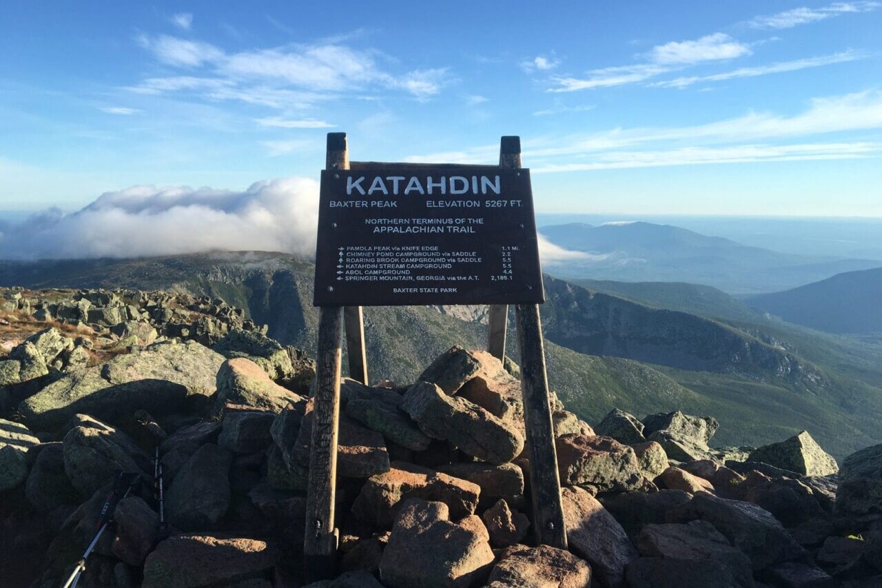
This section covers the Appalachian Trail from Grafton Notch to Katahdin, the northernmost section of the AT, and about 260 miles long. Highlights include Saddleback Mountain, the Bigelow Range, the 100 Mile Wilderness, and Katahdin.
$8.99
Stories from the Appalachian Trail!
Check out our most recent blog posts about the Appalachian Trail.

Hike more.
Check out some of the other trail guides we offer!
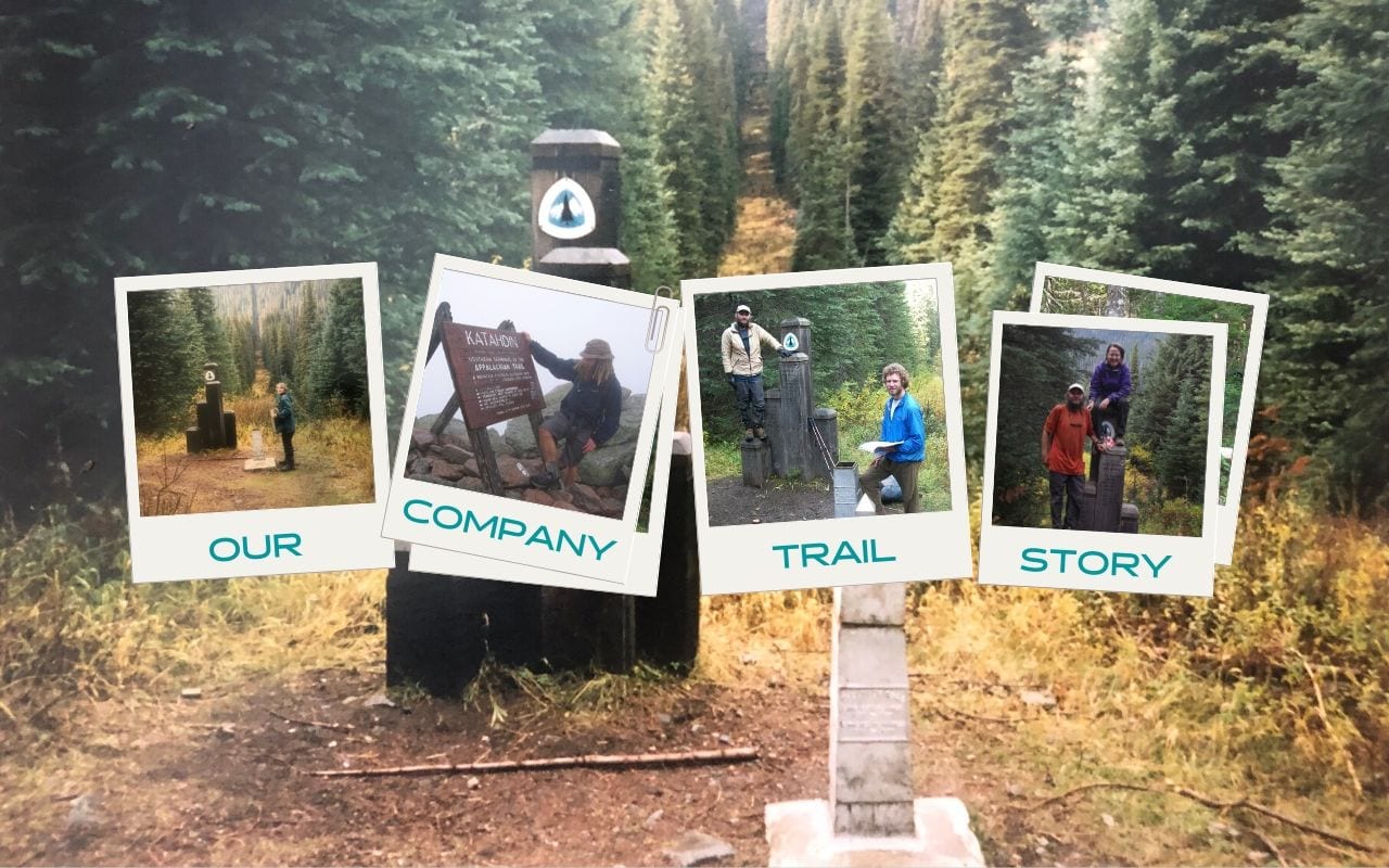
Our Company Trail Story: How Guthook Got Started
Planning an adventure? Check out our popular trail guides! 4.7 stars (14K+ ratings)
Our Company Trail Story: How Guthook Got Started
We decided that it was time we shared OUR Trail Story with you all. From 1997 until now, here is the story of how our company was started and the journey we took to get to where we are today.
Natalie McMillan Inside Atlas Guides 5/27/2020
Natalie McMillan
Inside Atlas Guides
5/27/2020

Paul standing in front of Crater Lake on his PCT thru-hike in 1997. Photo provided by Paul Bodnar
Twenty-three years ago, one of our founders, Paul Bodnar, made a decision that changed his life.
In 1997 he decided to hike the Pacific Crest Trail (PCT) after he graduated from the University of California Irvine with a MS in organic chemistry. Paul grew up spending summers at his grandparents’ cabin in Lake Arrowhead, just a mile or so away from the PCT. His grandfather often took him and his brothers out to the PCT, and he was always fascinated by the continuity of a trail going from Mexico to Canada. So before hitting the interview circuit to find a job as a chemist, he fulfilled his dream of thru-hiking the PCT.


Paul finished his first PCT thru-hike in October 1997. Photos provided by Paul Bodnar
At about the same time that Paul finished his hike, Alice Presley (Paul’s girlfriend at the time, now wife) also graduated from UC Irvine with a MS in organic chemistry and they both started working as medicinal chemists for Pharmacia, a big pharmaceutical company in Kalamazoo, Michigan. They worked there for five years before Pfizer took over their company and eliminated all drug discovery jobs at their job site. They were invited to move to other Pfizer locations to continue their work, but Paul already had the bug to start his own business and Alice wanted to go to law school.
So they decided to take some time to travel around the U.S. and embark on new careers.
In 2005, Alice started law school at UC Berkeley. She thought that a law degree would give her a chance to reinvent herself and give her a broad set of tools for the next step in her career. The work of Earthjustice and the Natural Resources Defense Council were two of her biggest inspirations for going to law school, and her initial goal was to become an environmental lawyer. But after an internship with the Sierra Club, she realized that litigation was not for her. She switched her focus to energy law and ended up working on large-scale renewable energy projects at a law firm in Los Angeles after she graduated in 2008. In fact, she worked on the giant Alta wind farm in the Tehachapi/Mojave area on the PCT.

Guthook thru-hiking the AT in 2007. Photo provided by Ryan Linn a.k.a. Guthook
Around the same time, across the country in Poughkeepsie, New York, our other founder, Ryan Linn (better known as “Guthook”), was dreaming of his own adventures.
In 2006, Ryan graduated from Vassar College and decided that he was going to thru-hike the Appalachian Trail (AT). He had been backpacking ever since his high school introduced him to the White Mountains and Mahoosuc Range in New Hampshire and Maine. After spending a semester of college in the Rockies with NOLS (National Outdoor Leadership School), he went on a week-long solo hike on the AT as a “bit of a crash course on long-distance hiking.”
He met an older hiker on Saddleback Mountain in Maine who was “just so high on life.” He told Ryan about recently reconnecting with a guy he hiked the AT with in the 1970s.
Ryan decided that he wanted to hike the Appalachian Trail too, and a year and half later, he was on the AT! He started his AT hike in February 2007 and ended in June 2007.

Guthook finished his AT thru-hike in June 2007. Photo provided by Ryan Linn a.k.a. Guthook
The following year, Ryan worked as a Wilderness Trail Crew Leader for the Vermont Youth Conservation Corps. He led two crews for four and three weeks each, focusing on trail maintenance on the Appalachian Trail.
The next year (2009) he thru-hiked the New England Trail and decided that the next step to keep himself going on a “thru-hiker’s life trajectory” was to thru-hike the Pacific Crest Trail.
While Ryan was planning his next big hike, Paul was back in Berkeley, California, working on the first edition of the “Pocket PCT,” a lightweight data guide to the Pacific Crest Trail. After releasing the first edition, Paul decided that he was going to thru-hike the PCT again to verify and add more data to his new lightweight guidebook.

The first edition of the Pocket PCT guide book. Photo provided by Natalie McMillan

The OG “Guthook Guides app” before apps were a thing. Photo provided by Natalie McMillan

Four editions of the Pocket PCT guide book from 2009-2016. Photo provided by Natalie McMillan
Paul began his second thru-hike of the PCT on April 18, 2010. And only a few days later on April 22, Ryan began his.
It wasn’t until around the halfway point in Belden, California, that these destined business partners finally met on their hike. They ended up hiking around 700 miles together and talked a lot about this new phenomenon of hikers carrying smartphones on the trail.
By the time they reached the northern terminus in Canada on September 25, the idea of a smartphone app was born.
After their hike, Paul went to work updating the Pocket PCT as quickly as possible. With the hiking season starting in April, he wanted to get all of the data updated for the next group of thru-hikers. Ryan began working at Eastern Mountain Sports in Keene, New Hampshire, and started learning about iOS development at night. He and Paul kept in touch and began working on the first ever “Guthook’s PCT Guide” iPhone app. Ryan took over the coding responsibility and Paul processed the data.

Paul and Ryan (Guthook) finished hiking the PCT together in September 2010. Photo provided by Paul Bodnar

The very first iPhone PCT app. Screenshot by Ryan Linn
They barely finished everything in time for the April 2012 hiking season and ended up launching sections of the app as hikers progressed up the trail. To test the new app and collect more data, Paul decided to hike the PCT for a third time. But this time, he wasn’t going to hike solo. Alice had recently left her very stressful job as an attorney.
Over dinner one night, Alice said that she would like to hike the PCT too since it was such a big part of Paul’s life, and she wanted to see what she was missing.
They began their PCT thru-hike on April 26, 2012 and finished five months later. And after five months of testing and talking to other hikers who were using the app, they saw that the app had a lot of potential to become a useful and popular tool for long-distance hikers.

Alice and Paul started their PCT thru-hike in April 2012. Photo provided by Alice and Paul Bodnar

Alice and Paul finished their PCT thru-hike in September 2012. Photo provided by Alice and Paul Bodnar
After their thru-hike, Paul and Alice moved to a tiny cabin in Idyllwild, California, near the PCT, and Alice taught herself Android programming.
She developed the first “Guthook’s PCT Guide” Android app and released it to the Google Play Store in 2013.
She thought she would return to the practice of law as soon as she caught up on her Android work, but she never caught up, and officially joined the Atlas Guides team.

The first Guthook’s PCT app for Android. Screenshots provided by Ryan Linn
The following year Ryan started getting a lot of requests to replicate the PCT app for the Appalachian Trail. So he started gathering and processing AT data. In 2014, the team launched apps for the Appalachian Trail, John Muir Trail, and Tahoe Rim Trail. Jerry Brown, of Bear Creek Survey Service, took a chance on the new company, and partnered with the team to create a guide for the Continental Divide Trail. They also teamed up with The Colorado Trail Foundation to create the Official App for the Colorado Trail, which was their first official trail organization partner. They also partnered with Trailblazer Guides in the UK. The South Downs Way was their first trail guide outside of the United States.

The first Guthook’s AT app for iPhone. Screenshot provided by Ryan Linn

The elevation profile in the first Guthook’s AT app for iPhone. Screenshot provided by Ryan Linn
Over the next few years, Ryan, Paul, and Alice worked like mad to improve the app and release over ten new guides for trails all over the world. They developed more and more partnerships with trail organizations and added a lot of new features to the app.

Our individual Guthook trail app icons. Screenshot provided by Ryan Linn
In 2017, Paul and Alice decided to leave California and move Atlas Guides headquarters to Flagstaff, Arizona, where they posted their first ever job listing in search of a marketing intern. They hired me (Natalie McMillan) in July 2017 and I took over everything social media and marketing related. I was in the MBA program at Northern Arizona University and worked part-time as an intern while I went to school. When I graduated with my MBA in May 2018, they extended me a full-time offer as Marketing Director and I happily accepted – best decision I’ve ever made!

Natalie, Alice, and Paul at Arizona Trail Day in Flagstaff, AZ. Photo provided by Natalie McMillan

Natalie’s MBA graduation at NAU. Photo provided by Natalie McMillan
Since that time we have worked with many talented people who have contributed invaluably to the growth of Atlas Guides, in particular Zoë Symon in Oregon, Alexander Gavrikov in Ukraine, and Robert and Angela Mosley in Australia. Zoë overhauled our website and app user interface, and Alexander has worked closely with Alice to improve and update the Android app. The Mosleys have collected a ton of cycling and hiking data for Australia, and are responsible for all of the content in the Cyclewayz app and the Australia hikes in the Guthook app.

Angela and Robert Mosley biking in Australia. Photo provided by Robert Mosley
Today we have more than 60 guides to trails and trail networks, over ten official trail organization partnerships, and recently released our “Social Check-in Feature.” We just moved our headquarters to Denver, Colorado, and we are excited to be a part of the Colorado outdoors scene. We will keep you up to date as Our Trail Story evolves!
Want to keep up with all that’s going on at Atlas Guides? Sign up for our newsletter!
Read more!
Check out some of our other blog posts.

Pocket PCT Guide Book
Your paper guidebook companion on the PCT.
The Pocket PCT is a paper guidebook that offers a complete guide to hiking the Pacific Crest Trail. It contains an elevation profile for the entire trail that is broken into ten-mile segments, showing the trail’s elevation in feet. It also lists important landmarks along the PCT with each chapter beginning and ending at a common resupply location. Additional important town information is also provided. Mileage is compatible with the Guthook Guides Pacific Crest Trail Guide (found on the iPhone & Android apps). For those hikers concerned about weight and space in their packs, the book is lightweight (4.9 ounces) and compact (5 by 8 inches and a quarter inch thick).
About the Author

Natalie McMillan
Natalie grew up hiking in Arizona where she fell in love with the outdoors. Her favorite hikes are to Havasu Falls in the Grand Canyon and Angel’s Landing in Zion National Park, UT. She loves taking pictures of people, places, and nature, which might explain why she has almost 47,000 photos currently residing on her phone. She takes care of all things related to social media and marketing and recently moved to Denver, CO from Flagstaff, AZ. You may find her frolicking around the trails and mountains of Colorado, or exploring the new city she gets to call home.
How to Optimize Your Break Time While Hiking
Planning an adventure? Check out our popular trail guides! 4.7 stars (14K+ ratings)
How to Optimize Your Break Time While Hiking
How often should you take a break while hiking? How long should your break be? We broke it down to show you the optimal break strategy to hike more miles in a day.
Paul Bodnar
Tech on the Trail
05/11/2020
Break Time Optimization
I have always wondered if longer breaks are better than shorter breaks for long-distance hiking. There are so many variables on the trail it is difficult to determine optimal break time with any accuracy. When you are hiking the terrain changes, you must stop to refill water, the weight of the pack changes… the list can go on.
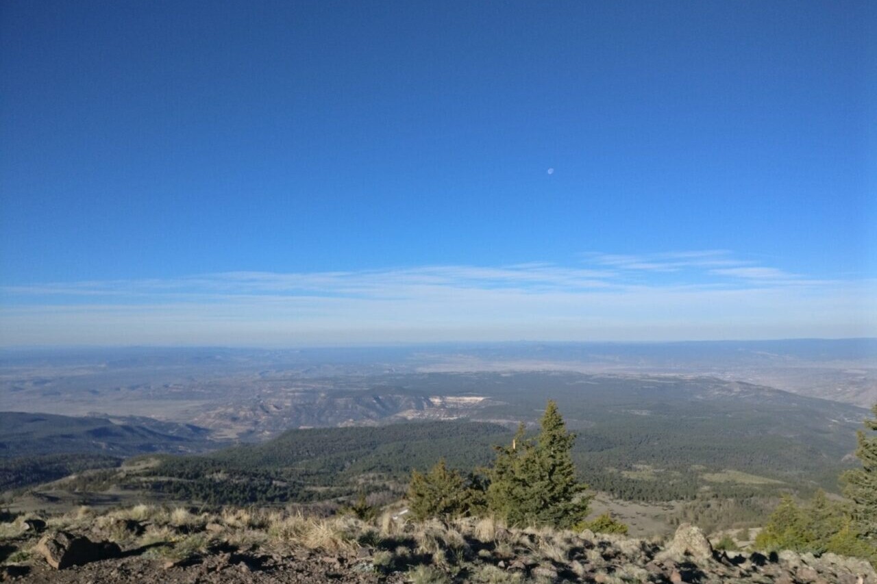
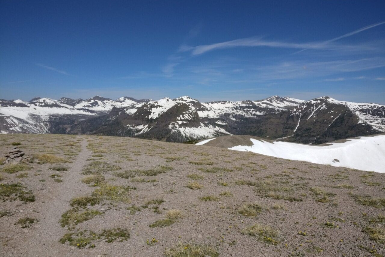
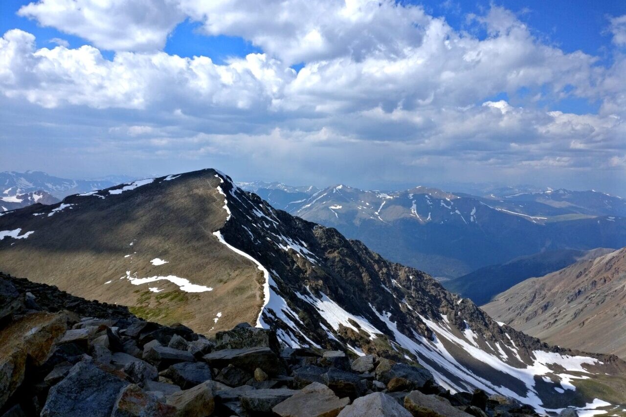
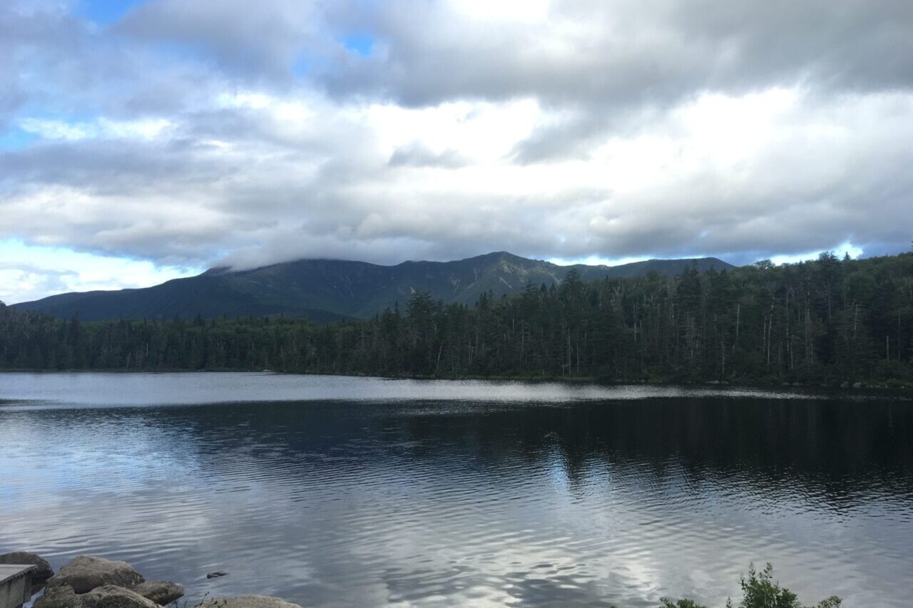
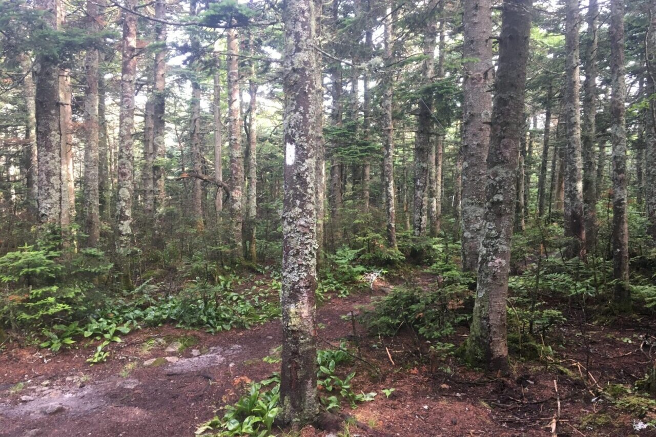
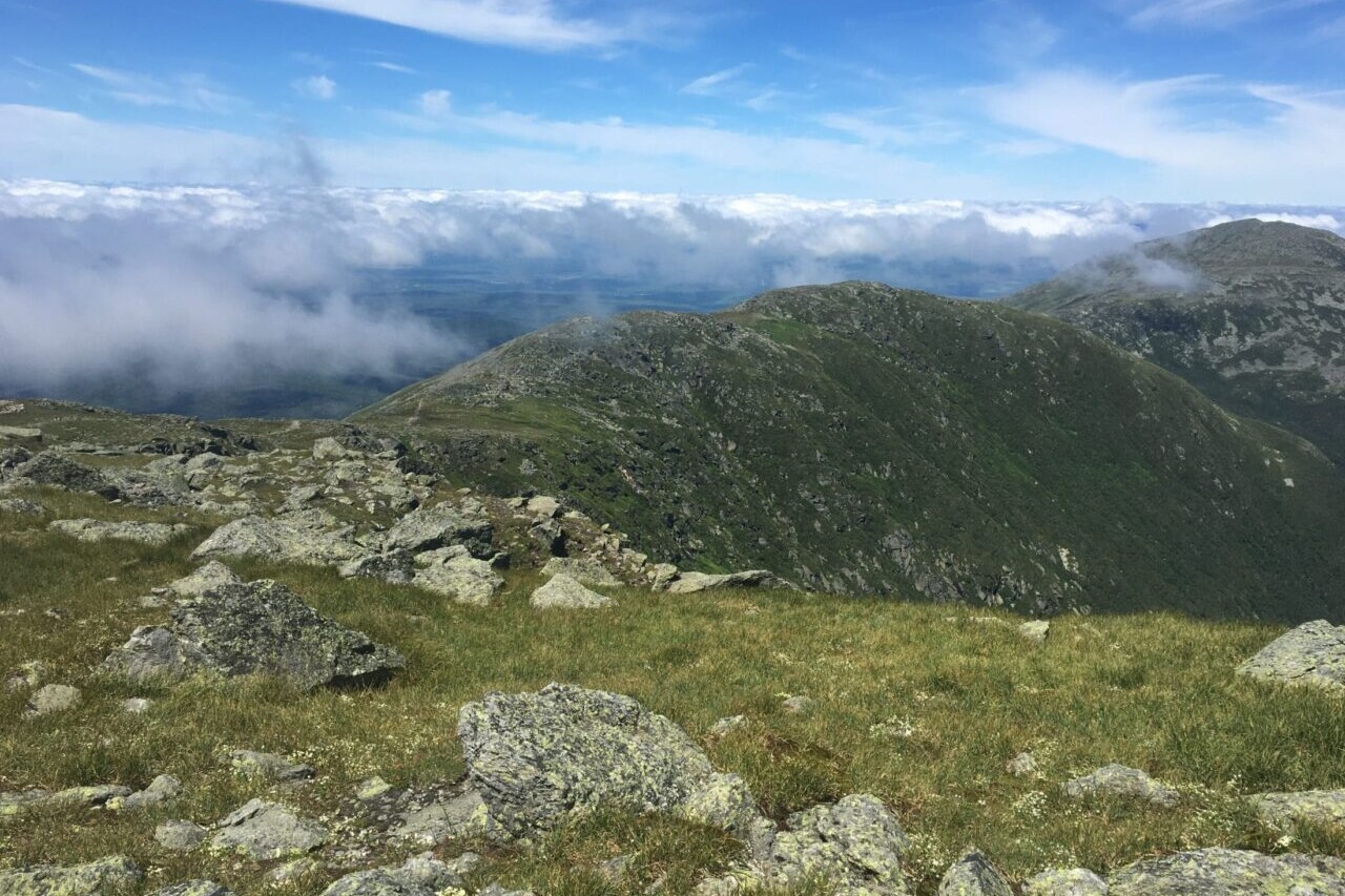
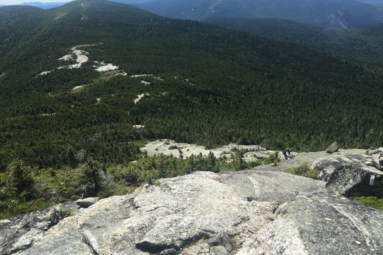
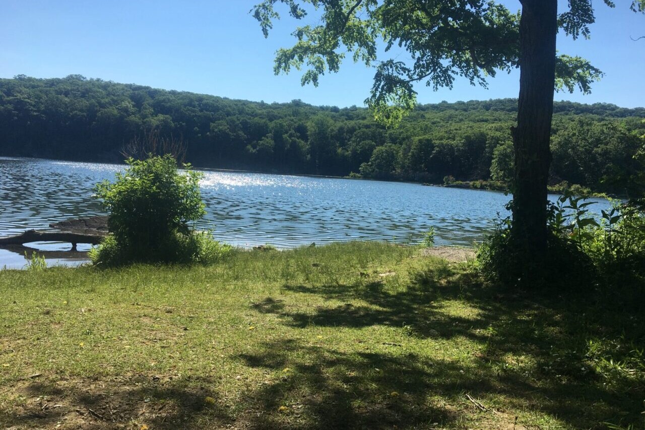
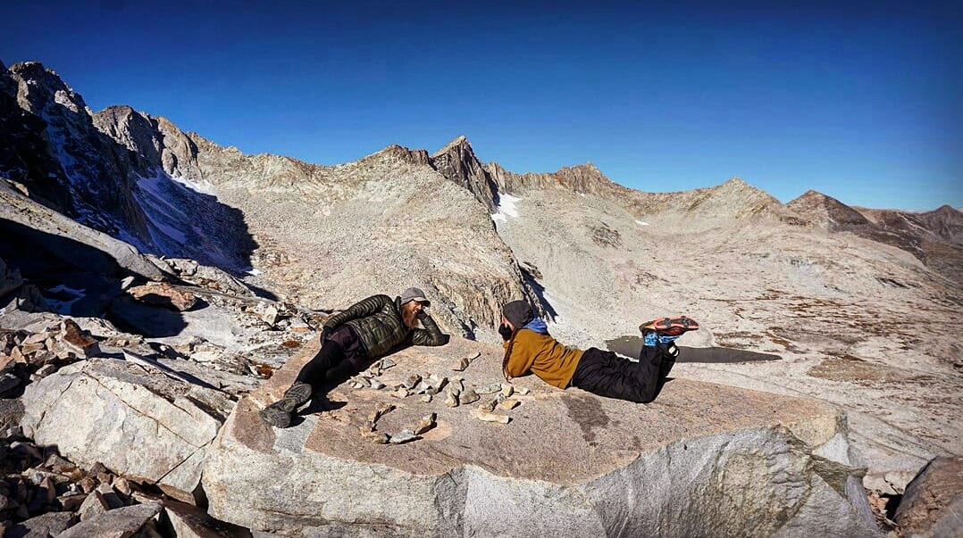
I decided to test the effect of different break times on the time it takes to hike using a 15.3-mile trail from Humber Park in Idyllwild, California (6,479 feet) to the summit of Mt. San Jacinto (10,833 feet) and back. I chose this trail because of the relative constant elevation change and trail length. This hike can also be completed in a normal day of hiking.


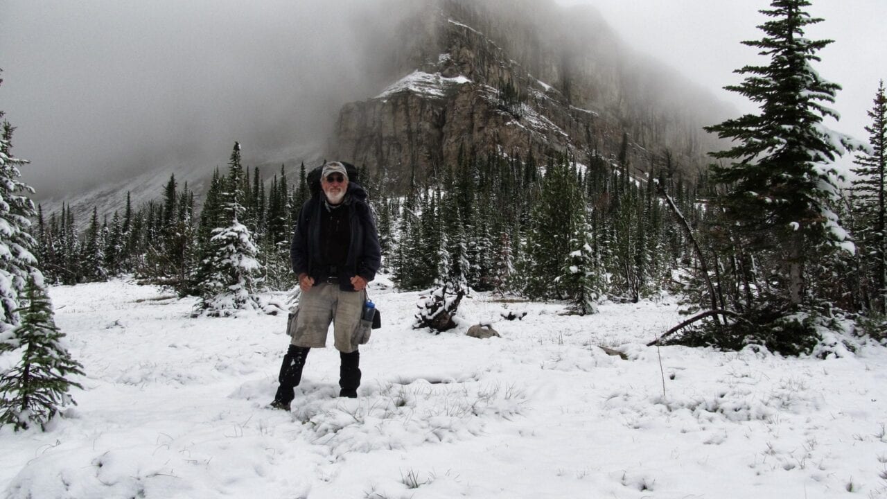
Photo by Paul Bodnar

Photo by Paul Bodnar
For each test hike I carried a backpack with a total weight of 30 pounds and more than enough water, so I did not have to stop to refill water. The weather and departure time were also about the same for each hike. I rested for at least 48 hours between hikes to make sure I was fully recovered for each hike. I decided for this experiment that I would hike exactly 2.5 miles up the trail (12% uphill grade) and the level of tiredness I felt would be the same required to trigger each future rest break.
When I took a break at my pre-determined tiredness level, I rested for that specific day’s experimental break time. For example, during the 5-minute break experiment I took only 5-minute breaks for the entire hike to the summit and back down. For that hike I took a total of sixteen 5-minute breaks: eleven 5-minute breaks going up to the summit and five 5-minute breaks going downhill. I repeated the experiment four more times (on four different days) with 10-minute, 15-minute, 30-minute, and 120-minute breaks. The 120-minute break took so much time, I had to stop the experiment prior to completing the entire course, so I estimated my completion time. As you might expect, I had to take more breaks the shorter the break-time because I was not able to recover.

I recorded the total hike time for each experiment to see which break-time resulted in the fastest hike. Interestingly, I hiked the fastest during the 5-minute-break experiment even though I had to take a lot more breaks. But 5-minute breaks meant that I was tired almost the entire hike. It was uncomfortable and took almost all the joy out of hiking. The 10-minute-break experiment was almost as fast and was much more enjoyable. 15-minute rest breaks resulted in more enjoyable hiking but started showing a real increase in overall hiking time.
TL;DR — From this experiment I learned:
- 10-15-minute breaks result in optimal performance and enjoyment
- If I am on any kind of time line, I should avoid 30 minute or longer breaks.
Of course your ideal break time and hiking plan will be a little different than mine, always hike within your own personal limits.

My Big Mile Hiking Plan
- Set an alarm and start hiking at first light.
- Eat breakfast as I hike.
- Only take breaks when I am tired.
- Try to keep breaks close to 10 minutes and avoid going over 15-minute breaks.
- Plan out where I will get water and use these stops as resting breaks.
- Try to get 25% of my daily miles in by 10 AM and over 50% of my daily miles by 2 PM.
- Use lunch as a break and keep it under 30 minutes.
- Eat a quick, early dinner and use it as a nice late afternoon break.
- Get the final miles in after dinner and arrive at camp just before dark.
- Plan out my next day hike by reviewing the Guthook app.
TIP: Eating meals away from your camp reduces the chances of rodents visiting.

Photo by Paul Bodnar
Want to keep up with all that’s going on at Atlas Guides? Sign up for our newsletter!
Read more!
Check out more Tech on the Trail posts!

Download our popular hiking and biking guides!

Trail guides that get you to places you’ve dreamed of.
As the makers of Guthook Guides, Bikepacking Guides, and Cyclewayz, we help you navigate the most popular trails around the world on your smartphone. Our hiking guides and biking guides work completely offline. Let Guthook guide your next adventure!
Showers Lake Vista, Tahoe Rim Trail
Photo courtesy of the Tahoe Rim Trail Association

Showers Lake Vista, Tahoe Rim Trail
Photo courtesy of the Tahoe Rim Trail Association
Trail guides that get you to places you’ve dreamed of.
As the makers of Guthook Guides, Bikepacking Guides, and Cyclewayz, we help you navigate the most popular trails around the world on your smartphone. Our hiking guides and biking guides work completely offline. Let Guthook guide your next adventure!
Download our popular hiking and biking guides!
About the Author

Paul Bodnar
Paul has always liked hiking and thru-hiked the Pacific Crest Trail in 1997 after college. After years of working in chemistry, he wanted to create a career involving the outdoors, so he hiked the Pacific Crest Trail again in 2010 to do research for his guide book Pocket PCT. He realized that creating a smartphone app for navigating the outdoors would make it easier to keep the data current and provide a better way to navigate. While hiking with Ryan (aka Guthook) in 2010, they decided to work together to create the first comprehensive smartphone guide for the Pacific Crest Trail. Now with the help of a team of great people they have created over 50 guides for trails around the world.
My (Postponed) Trail Story featuring Rabbit
Planning an adventure? Check out our popular trail guides! 4.7 stars (14K+ ratings)
Photo provided by Rachael DeLano
My (Postponed) Trail Story featuring Rabbit
Rabbit, a.k.a. Rachael DeLano, decided to put her plans to hike the Arizona Trail, West Highland Way in Scotland, Colorado Trail, and the Oregon section of the PCT on hold until further notice.
Natalie McMillan My Trail Story 04/10/2020
Natalie McMillan
My Trail Story
04/10/2020
My (Postponed) Arizona Trail Story
By: Rachael DeLano

Photo provided by Rachael DeLano
I’ve hiked a lot of miles over the past four years.
I thru-hiked the Appalachian Trail (2016), the Pacific Crest Trail (2017), and the Continental Divide Trail (2018). Last year, I section-hiked those same trails and completed the Hadrian’s Wall walk in the UK. This year, I envisioned myself standing at the southern terminus of the Arizona Trail on April 2nd.
While covering those miles, I have also made a lot of mistakes. If you have hiked a long-distance trail (or even a short one), you can probably relate. It’s easy to forget something you need, bring too much stuff, make a wrong turn, or misjudge the weather.

Photo provided by Rachael DeLano

Photo provided by Rachael DeLano
When it came time to hike the Arizona Trail (AZT) this year I realized there was one mistake I couldn’t make: starting the trail. When trail associations, the CDC, and other governing bodies released their guidelines— uniformly agreeing that it is best for everyone to remain in their current communities to stop the spread of Covid 19— I made the choice to postpone my hike.
I knew choosing to stay home was the safest, smartest, and most cautious choice for my own health and the health of the small communities I would have passed through. Communities that are often far away from medical care and have limited food/resupply access.

Photo provided by Rachael DeLano
I feel good about the decision not to risk the health of others by putting my own desires first. However, that does not make giving up my hike—this goal, this dream— any easier. I suddenly feel like I have post-trail depression all over again, without the joy of the preceding hike.
To help deal with the sadness from postponing my hike, I have started to remind myself why I wanted to hike the AZT in the first place. The desire evolved from an idea to visit the Grand Canyon. I thought, “I would really love to see the Grand Canyon one day” and then quickly realized the AZT passes directly through the Grand Canyon. I couldn’t think of a better way to see Arizona as well as a natural wonder of the world than to walk through it starting from the Mexican border. By musing on the initial spark that lit this flame within me to hike the AZT, I stay focused on my goal. I simply remind myself that the plan hasn’t changed, but is merely postponed.

Photo provided by Rachael DeLano
I am comforted by the fact that, as cliche as it sounds, the trail isn’t going anywhere. The Grand Canyon formed around six million years ago. I can wait one more season to see it. In the meantime, I can still hike my local trails (while maintaining the recommended social distance), work out at home, and stay in touch with my trail friends and family. Nature continues to keep me grounded, while also inspiring me to dream of the adventures that lay ahead.

Photo provided by Rachael DeLano
Conveniently, my time on the trail has prepared me for social distancing/quarantine in a lot of ways. It has taught me to rely on myself and plan ahead. Here are some ways the trail has prepared me:
- Resupplying: planning out how much food I needed for a section in advance and getting it all in one trip.
- Missing people: learning to stay connected even when I couldn’t physically be with the people I love.
- Zero days: appreciating rest days where I didn’t need to stress or worry about anything except for eating and relaxing.
- Type 2 fun/Embrace the suck: not everything is fun, but sometimes I just had to go through it to get to the good stuff.
- Limited commodities: figuring out if I really needed something or just wanted it, and deciding if something is worth the weight (or in this case, the risk).
- Toilet paper: rationing TP is second nature to a hiker.
- Trail Angels: relying on strangers when I needed it most. I choose to give a portion of my saved resupply funds to Feeding America (http://www.feedingamerica.org/) and be a virtual trail angel for those in need.

Photo provided by Rachael DeLano

Photo provided by Rachael DeLano
I had not publicly announced my full Summer plan on social media. I was also planning to hike the West Highland Way in Scotland with my best friend in May, followed by the Colorado Trail, and then the Oregon Section of the PCT. With so much uncertainty and so many unknown factors right now, all I can safely say is that everything is on hold until further notice. When things improve I know I will be on a trail again, even if it isn’t until fall or next year.
At the end of the day, I am so grateful that I am healthy when so many people are not. I am also grateful for the hiking community and the support we can give each other. Hiking feeds my soul and brings me joy. I love every adventure I’ve been on and this isn’t going to stop me in the future. In the meantime, I am going to be a (virtual) trail angel, stay close to my community, and keep my feet moving until I can get on a trail again.

Photo provided by Rachael DeLano
Want to keep up with all that’s going on at Atlas Guides? Sign up for our newsletter!
Read more!
Check out some related blog posts!
Get our trail guide for this area!
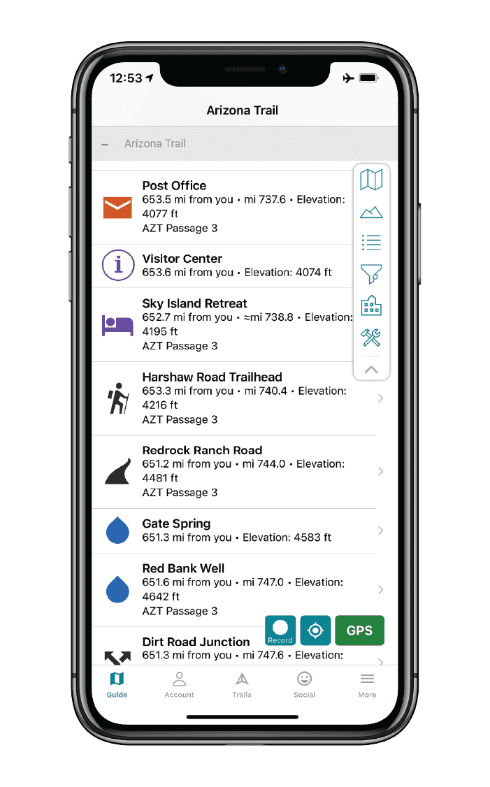
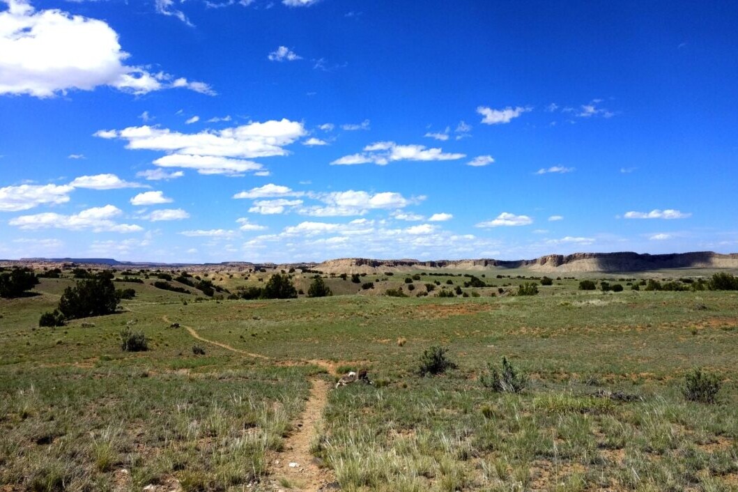
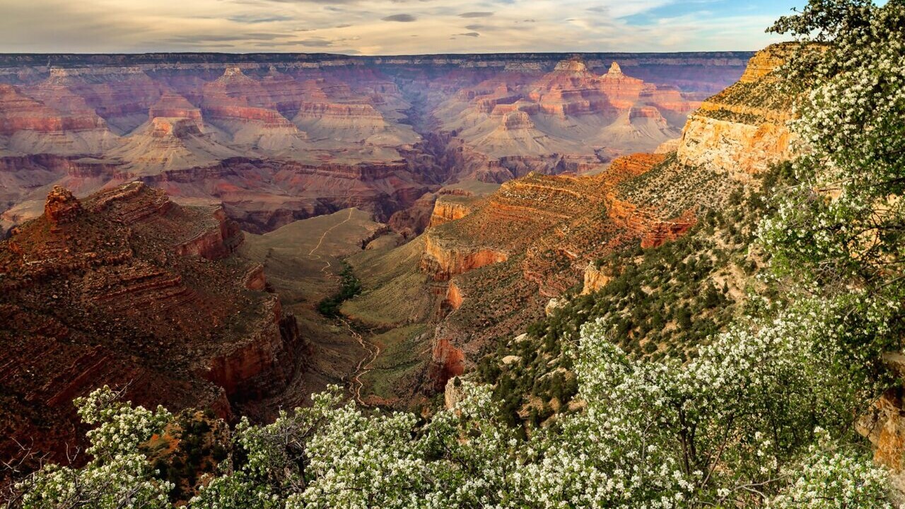
Arizona Trail
The Arizona Trail stretches 800 miles across the state of Arizona from Mexico to Utah, passing through some of the most diverse and beautiful landscapes in the state.
800 mi (1280 km) $9.99 full guide
Grand Canyon, Arizona Trail
Photo courtesy of the Arizona Trail Association
Grand Canyon, Arizona Trail
Photo courtesy of the Arizona Trail Association
Arizona Trail
The Arizona Trail stretches 800 miles across the state of Arizona from Mexico to Utah, passing through some of the most diverse and beautiful landscapes in the state.
800 mi (1280 km)
$9.99 full guide
Get our trail guide for this area!
About the Author
Natalie McMillan
Natalie grew up hiking in Arizona where she fell in love with the outdoors. Her favorite hikes are to Havasu Falls in the Grand Canyon and Angel’s Landing in Zion National Park, UT. She loves taking pictures of people, places, and nature, which might explain why she has almost 47,000 photos currently residing on her phone. She takes care of all things related to social media and marketing and recently moved to Denver, CO from Flagstaff, AZ. You may find her frolicking around the trails and mountains of Colorado, or exploring the new city she gets to call home.
My (Postponed) Trail Story by Cyclops and McGoober
Planning an adventure? Check out our popular trail guides! 4.8 stars (17K+ ratings)
Photo provided by Chris and Kimberly
My (Postponed) Trail Story by Cyclops and McGoober
Chris and Kimberly, a.k.a. Cyclops and McGoober, were getting ready to start their thru-hike on the Continental Divide Trail when they made a hard decision to postpone their hike.
Natalie McMillan My Trail Story 04/08/2020
Natalie McMillan
My Trail Story
04/08/2020
CDT 2020! That was the answer for the past 2 years that we (Cyclops and McGoober) would give to the question “Well, what’s next?” since we completed the PCT in 2018. It was the obvious choice for any thru-hiker who has already completed the Appalachian Trail and Pacific Crest Trail. The Triple Crown was in our sights, something we had set out to accomplish years before, it was right there and all we had to do was hike, or so we thought.
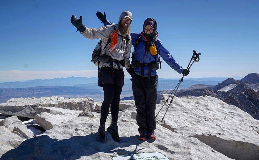
Photo by Chris & Kimberly
Like planning for any thru-hike, we had a few challenges along the way. We were expanding our use of social media and working with sponsors and blogs for the first time. These were all headaches that one could expect but overall things were going as planned. When we first started hearing about COVID-19, our only thought was, hopefully we can get out on trail before this starts to spread. Like most people early on, we thought the trail would be the best place to avoid a sickness- there won’t be many people, we’ll be isolated, and as long as travel isn’t restricted we’ll be fine.
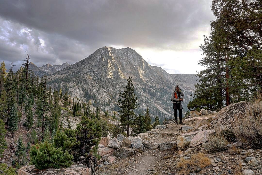
Photo by Chris & Kimberly
This was all in early March, about a month away from our last day of work before we took a few weeks to see friends and family before shipping off to New Mexico. Soon, we started reading more about how the virus was spreading and affecting so many communities. We then started thinking, should we push up our start date and get out there sooner? Maybe we shouldn’t see our parents; they are in the “at-risk” age group. Everything was happening so fast that our minds felt like a whirlwind. We ordered our last few pieces of gear the same week we found out that our places of business were in danger of closing. At that time the CDT was recommending rethinking your hikes but still offering shuttle services to the Southern Terminus, so we figured we could still swing it but we weren’t going to risk bringing anything down to our family before we left. The plan was still, if we can get out there we’re going to go. We planned, saved, sublet our apartment, and dreamt about this for years. It was happening dammit.
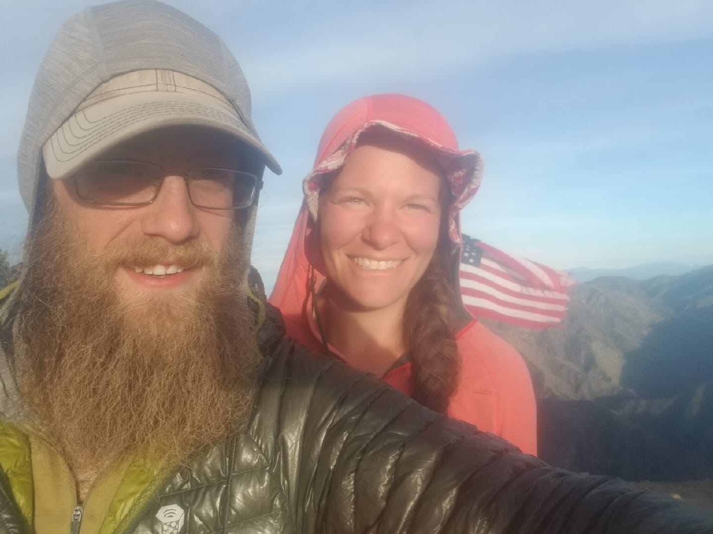
Photo by Chris & Kimberly
Those questions and thoughts racked our brains for what felt like weeks but could only have been a matter of days. It seemed to turn our nightly routine into a stress filled argument about: what to do, what was the plan, and can we afford to quarantine if we get sick out there. Then it finally hit us. If we were worried about bringing something to our parents or catching something on the flight out and getting sick in the middle of nowhere, then why were we going?
Isn’t it a bit unfair for us to protect our parents by staying away while possibly infecting someone else’s parents in a far more remote town with far less resources? Is it fair to possibly put the stress of first responders to come drag our stubborn asses out of the Gila National Forest, wasting valuable resources? We decided on the only answer that made sense to those questions. It’s time to postpone.
While the decision was an incredibly difficult one to make, years of planning, thousands of dollars of gear, giving up our apartment, but in the end it felt like the weight of the world was off our shoulders. The very next day, our last at work due to working at non-essential businesses, we knew we made the right choice when the Appalachian Trail Conservancy, Pacific Crest Trail Association and Continental Divide Trail Coalition came out with recommendations for postponing thru-hikes.
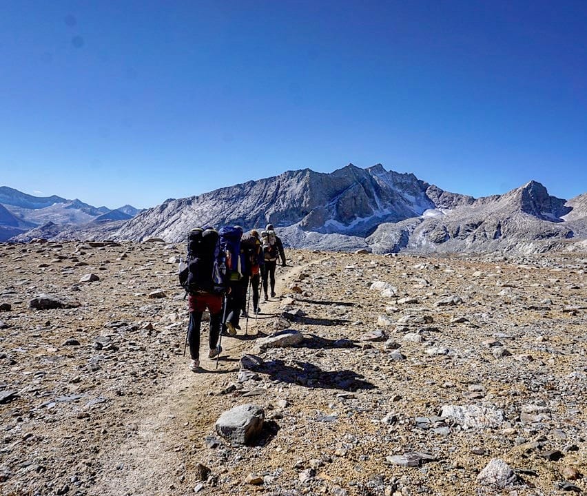
Photo by Chris & Kimberly
Things seem to have slowed down quite a bit since making the call to postpone. We did luck out in a few ways like having understanding subleasers who found another place to live. We are very thankful to be living in a small town in Vermont during this time to keep our minds and bodies active. We live just six miles from a Long Trail trailhead so we are still able to get out and hike while maintaining a proper social distance. While we have an awesome natural place to live and spend time getting through this pandemic, it still doesn’t compare to our CDT dreams. For those who have thru-hiked before, you know the feeling of post-trail depression. It seems COVID has brought the post-trail blues without the trail. Thankfully, we have been through those blues before and have each other to lean on. We also know that the best way past those blues is to stay active and plan the next adventure.
This doesn’t mean we are giving up on our dreams, the trail will be there, and our gear won’t go bad in the closet for a year. Heck, however unlikely, this could be over for SOBO season. There is no reason to put yourself or others at risk so stay off the trail. The trail could definitely use a year off too.
Photo by Chris & Kimberly
Want to keep up with all that’s going on at Atlas Guides? Sign up for our newsletter!
Read more!
Check out some related blog posts!
Get our trail guide for this area!
Continental Divide Trail
Considered by many to be the most remote and challenging of the triple crown trails, the Continental Divide Trail is a 3100 mile adventure through five western states.
3100 mi (4980 km) $39.99 full guide
Colorado, Continental Divide Trail
Photo by David Getchel
Colorado, Continental Divide Trail
Photo by David Getchel
Continental Divide Trail
Considered by many to be the most remote and challenging of the triple crown trails, the Continental Divide Trail is a 3100 mile adventure through five western states.
3100 mi (4980 km)
$39.99 full guide
Get our trail guide for this area!
About the Author
Natalie McMillan
Natalie grew up hiking in Arizona where she fell in love with the outdoors. Her favorite hikes are to Havasu Falls in the Grand Canyon and Angel’s Landing in Zion National Park, UT. She loves taking pictures of people, places, and nature, which might explain why she has almost 47,000 photos currently residing on her phone. She takes care of all things related to social media and marketing and recently moved to Denver, CO from Flagstaff, AZ. You may find her frolicking around the trails and mountains of Colorado, or exploring the new city she gets to call home.